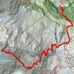
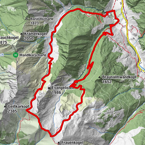
Aigenalmen - Schmalzscharte - Bachalm

Logo Aigenalmen - Schmalzscharte - Bachalm
Toerdatums
17,16km
904 - 2.273m
Afstand
1.318hm
1.336hm
Opstijging
09:12h
 
Duur
Waardering
Techniek
Conditie
Landschap
Belevenis
Route
Aigenalm - Kapelle
2,6 km
Aigenalm - Mandlhütte
3,4 km
Tennkogel (2.338 m)
7,8 km
Frauenkar
8,6 km
Bachalm
11,1 km
Eiblbauer
16,8 km

Maximale hoogte
2.273 m
Hoogteprofiel

Auteur
De rondleiding Aigenalmen - Schmalzscharte - Bachalm wordt gebruikt door outdooractive.com op.

3,0
Algemene beoordeling

5

0

%

4

0

%

3

100

%

2

0

%

1

0

%

GPS Downloads
  • GPX GPS Exchange Format (XML)
  • KML Google Earth, Google Maps
QR Downloadcodes voor mobiele telefoons

Populaire rondleidingen in de omgeving

Wanderung zum Naturjuwel Reedsee

medium Wandelen
10,76km | 756hm | 04:30h

Graukogel

medium Wandelen
5,1km | 1342hm | 06:00h

Faulkogel

zwaar Wandelen
15,9km | 1490hm | 06:24h

Rauris: Hoher Sonnblick Nr. 122

zwaar Wandelen
13,43km | 1412hm | 05:00h