- Korte beschrijving
-
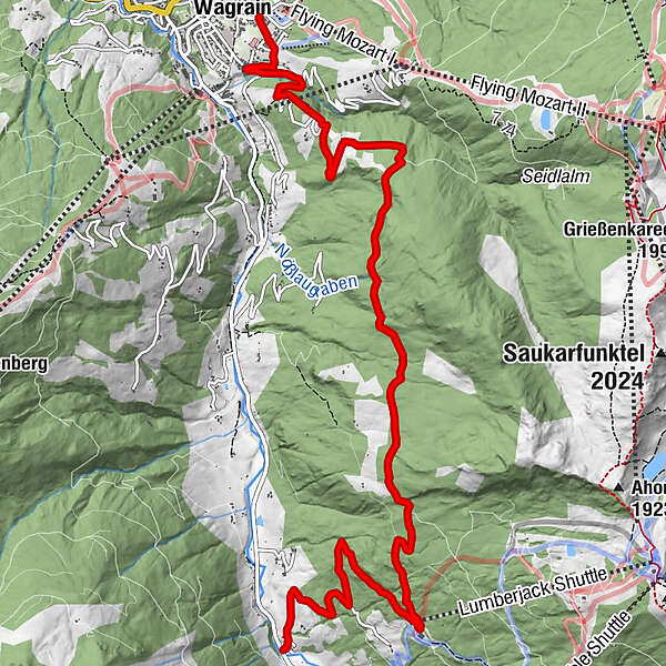
Comfortable hike from Kleinarl to Wagrain and back with the hiking bus.
- Moeilijkheid
-
medium
- Waardering
-
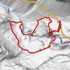
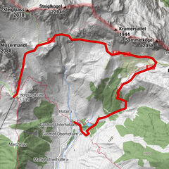
- Route
-
Fürbach9,1 kmWagrain10,4 km
- Beste seizoen
-
janfebmrtaprmeijunjulaugsepoktnovdec
- Maximale hoogte
- 1.426 m
- Bestemming
-
Wagrain Kirchboden
- Hoogteprofiel
-

-

-
AuteurDe rondleiding Via the Baierwaldstrasse to Wagrain wordt gebruikt door outdooractive.com op.
GPS Downloads


Algemene info
Verfrissingsstop
Meer rondleidingen in de regio's