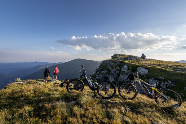
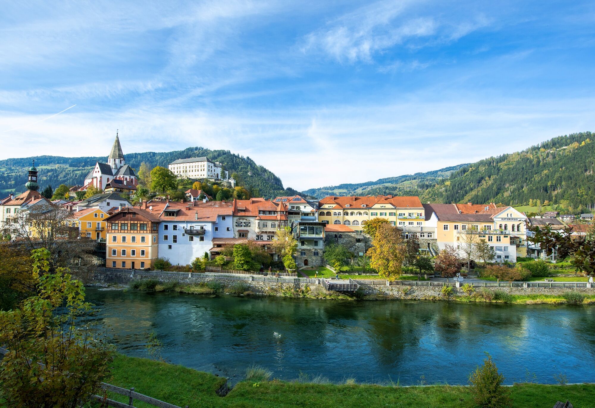
© Tourismusverband Region Murau - Tom Lamm

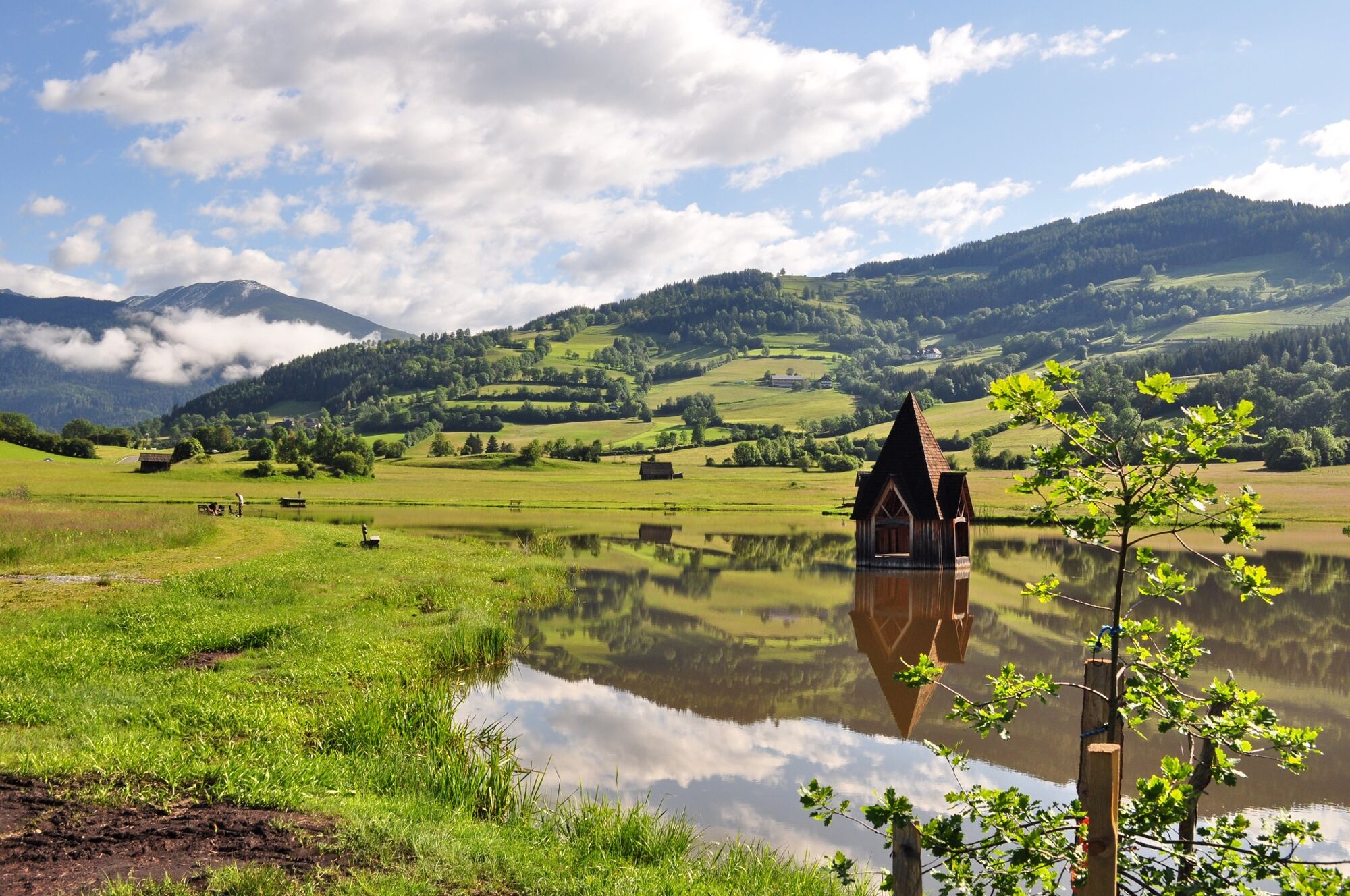
© Tourismusverband Region Murau - Roswitha Sunk

© Tourismusverband Region Murau - cstrobl

- Korte beschrijving
-
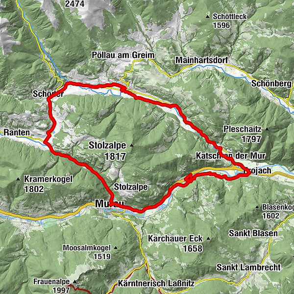
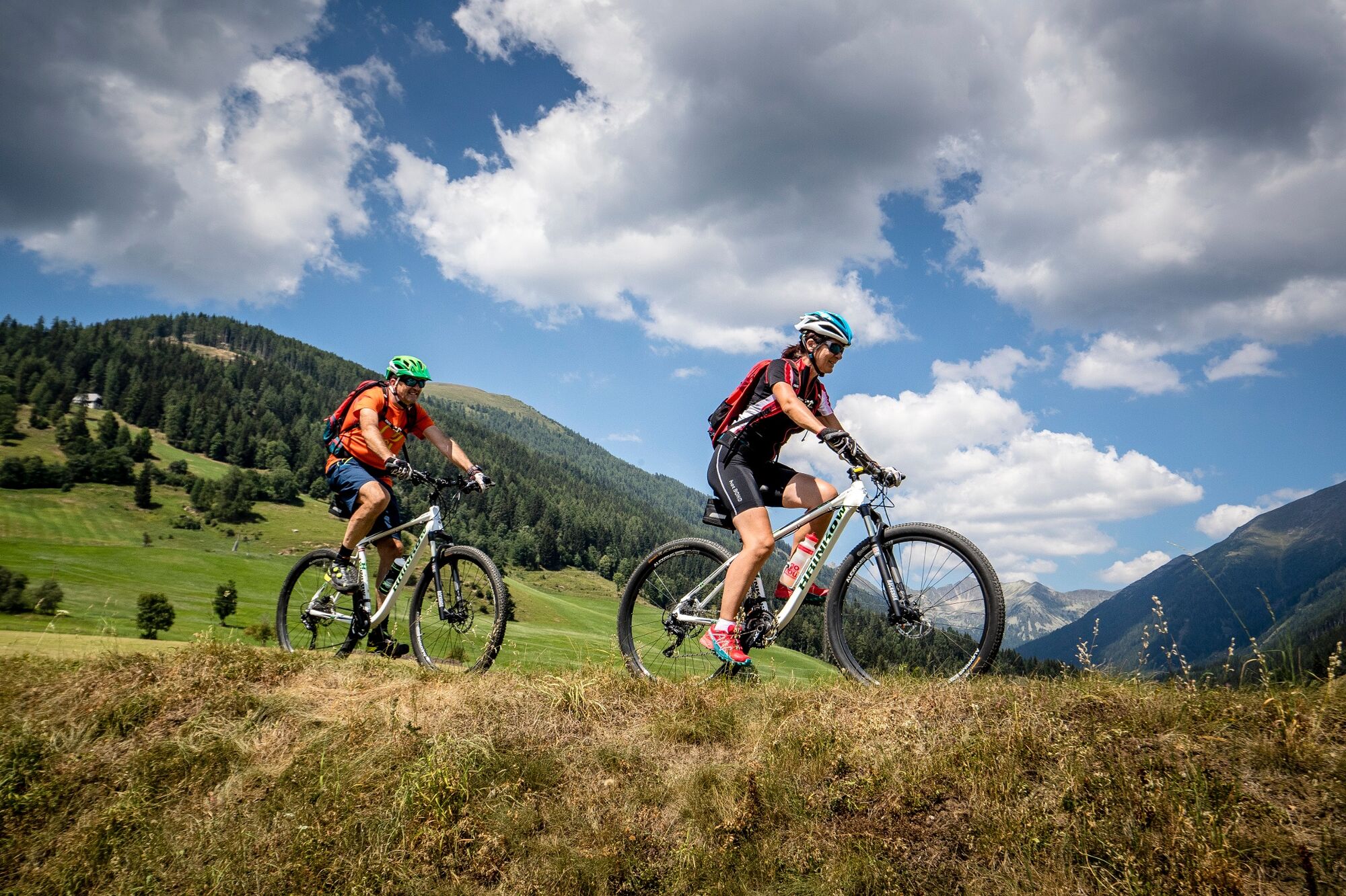
A leisurely round trip takes you from Murau, partly along the Murradweg, into the Katschtal and Rantental valleys.
- Moeilijkheid
-
gemakkelijk
- Waardering
-
- Route
-
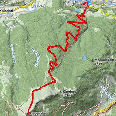
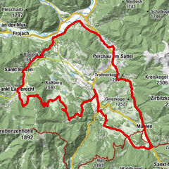
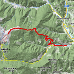
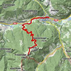
Murau (829 m)Egidikirche0,6 kmEgidiwirt0,7 kmSankt Egidi0,7 kmSaurau10,4 kmUnterdorf14,0 kmKatsch an der Mur14,2 kmFilialkirche hl. Bartholomäus18,8 kmAlthofen18,9 kmPeterdorf20,7 kmSankt Peter am Kammersberg24,2 kmMitterdorf26,3 kmFeistritz am Kammersberg27,1 kmBaierdorf29,6 kmFilialkirche hl. Nikolaus29,7 kmSchöder31,3 kmRottenmann34,4 kmRottenmanner-Kapelle34,4 kmGalgenwiese39,7 kmMurau (829 m)42,1 km
- Beste seizoen
-
janfebmrtaprmeijunjulaugsepoktnovdec
- Maximale hoogte
- 937 m
- Bestemming
-
WM Halle Murau
- Hoogteprofiel
-

- Auteur
-
De rondleiding Circumnavigation of the Stolzalpe wordt gebruikt door outdooractive.com op.
GPS Downloads


Algemene info
Verfrissingsstop
Meer rondleidingen in de regio's