© Andrea Gruber - TV Joglland Waldheimat

© Andrea Gruber - TV Joglland Waldheimat

© Andrea Gruber - TV Joglland Waldheimat
- Korte beschrijving
-
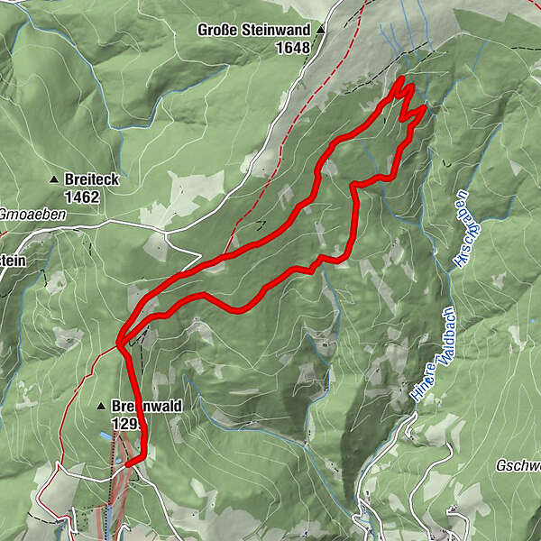
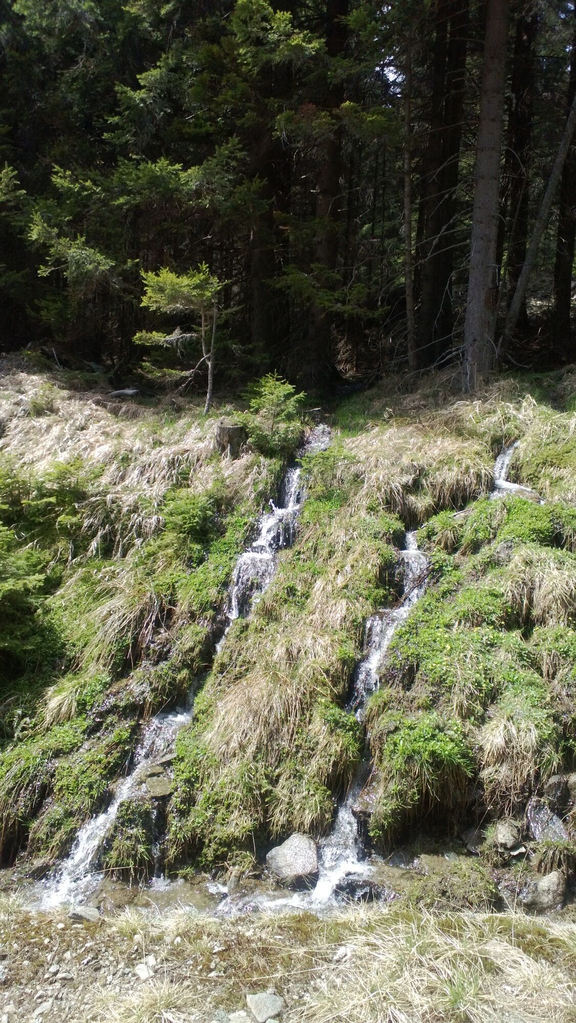
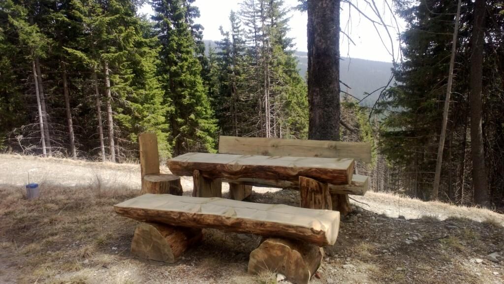
The Quellenweg leads you past small streams and springs around the Hochwechsel. Numerous rest areas invite you to linger and enjoy the idyllic landscape.
- Moeilijkheid
-
medium
- Waardering
-
- Route
-
Gemeindkreuz1,2 kmKaltwiesen Hütte9,7 kmGemeindkreuz10,6 km
- Beste seizoen
-
janfebmrtaprmeijunjulaugsepoktnovdec
- Maximale hoogte
- 1.420 m
- Bestemming
-
Mönichwalder Schwaig
- Hoogteprofiel
-


- Auteur
-
De rondleiding Hochwechsel - spring trail wordt gebruikt door outdooractive.com op.
GPS Downloads


Algemene info
Verfrissingsstop
Flora
Veelbelovend
Meer rondleidingen in de regio's
-
Wiener Alpen
3036
-
Joglland - Waldheimat
1506
-
Waldbach-Mönichwald
302