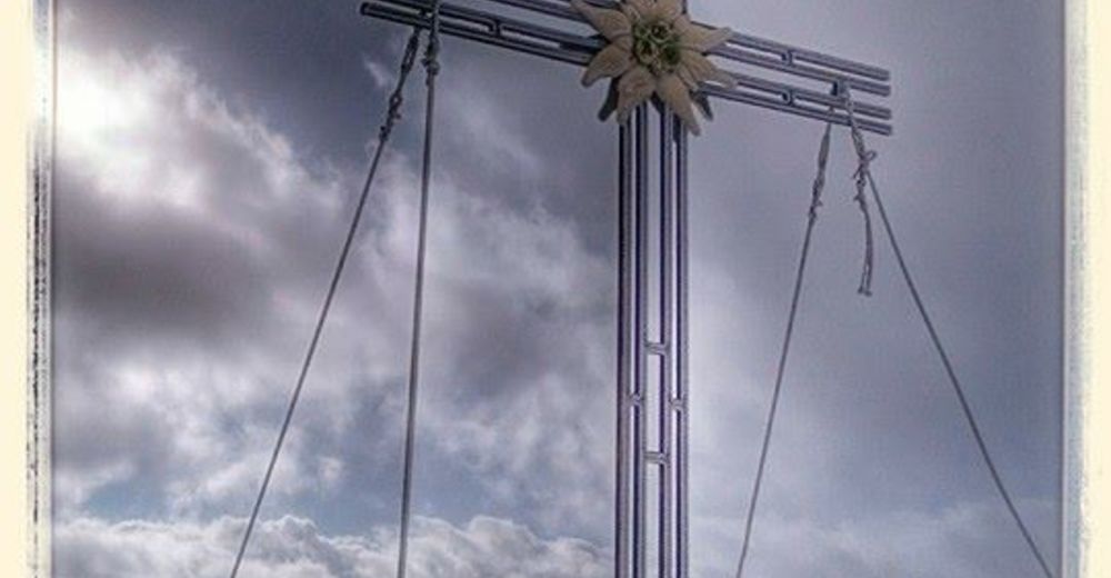
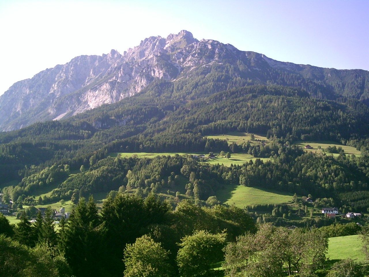
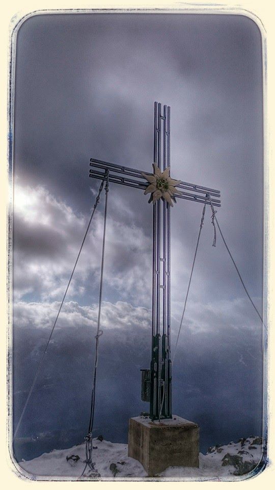
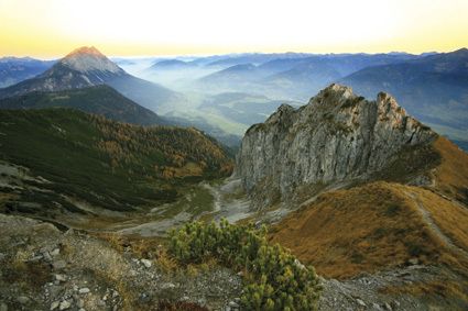
To the Top of the Gröbminger Kammspitze - elev. 2.139 m

Wandelen

© Erlebnisregion Schladming-Dachstein - Schladming Dachstein - TVB Gröbminger Land
© Erlebnisregion Schladming-Dachstein - Schladming Dachstein

- Korte beschrijving
-
Steep and long ascent to the tin-reinforced rocky crest of the Kammspitze above Gröbming.
- Moeilijkheid
-
zwaar
- Waardering
-
- Route
-
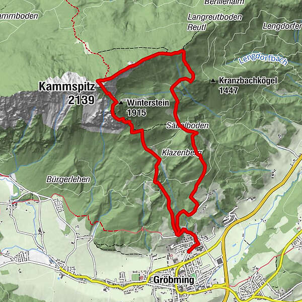
Hofmanning0,4 kmZirmel5,3 kmKammspitz (2.139 m)7,0 kmWinterstein (1.915 m)7,5 kmHofmanning11,2 km
- Beste seizoen
-
janfebmrtaprmeijunjulaugsepoktnovdec
- Maximale hoogte
- 2.106 m
- Bestemming
-
Gröbming – Car park near the cemetery at the eastern edge of town
- Hoogteprofiel
-

- Auteur
-
De rondleiding To the Top of the Gröbminger Kammspitze - elev. 2.139 m wordt gebruikt door outdooractive.com op.
GPS Downloads


Algemene info
Flora
Fauna
Veelbelovend
Meer rondleidingen in de regio's
-
Schladming - Dachstein
3001
-
Gröbminger Land
1190
-
Gröbming
243


