Toerdatums
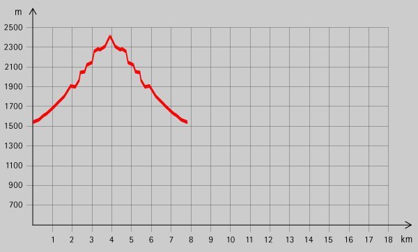
6,7km
1.572
- 2.398m
815hm
04:00h
- Korte beschrijving
-
Wunderschöne Wanderung mit herrlicher Aussicht vom Gipfel!
- Waardering
-
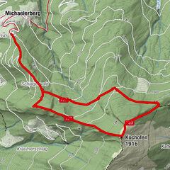
- Startpunt
-
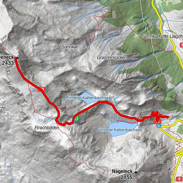
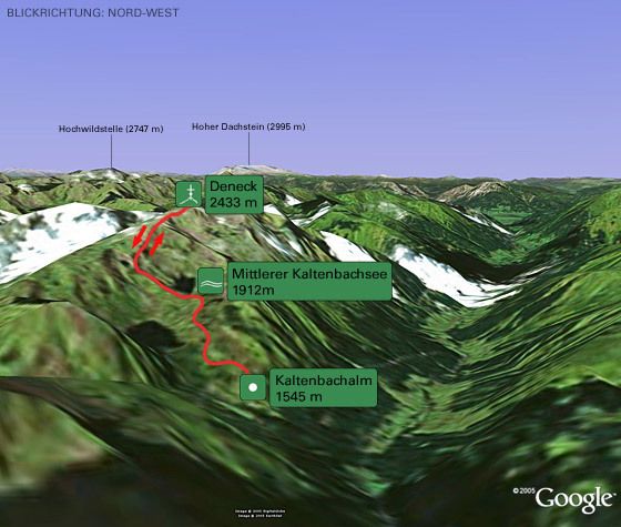
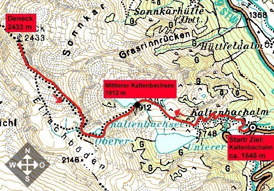
Kaltenbachalm (ca. 1545 m)
- Route
-
Schafspitze (2.310 m)2,7 kmDeneck (2.433 m)3,2 km
- Maximale hoogte
- 2.398 m
- Rust/Retraite
-
Kaltenbachalm
- Kaartmateriaal
GPS Downloads


Condities van het pad
Asfalt
Steenslag
Weide
Bos
Rots
Moeilijk
Meer rondleidingen in de regio's