
Toerdatums
7,73km
836
- 1.034m
129hm
129hm
03:00h

- Korte beschrijving
-
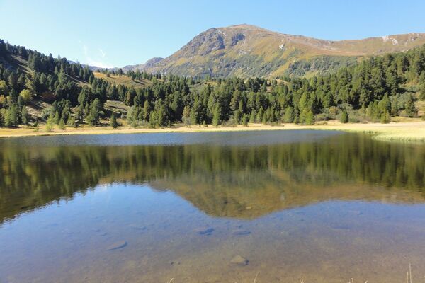
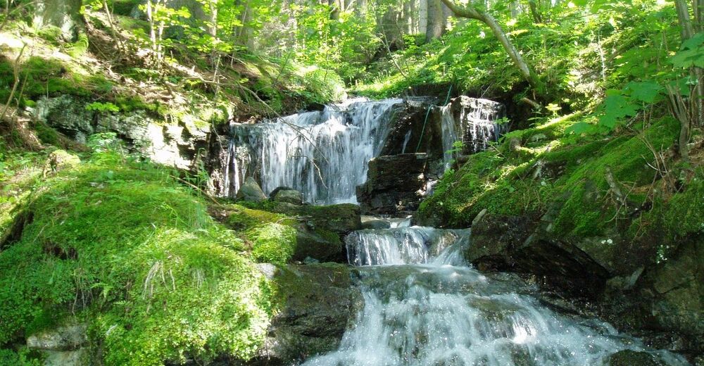
This downhill hiking trail delights with surprises and cool water.
- Moeilijkheid
-
gemakkelijk
- Waardering
-
- Startpunt
-
Seidl Inn in Zeutschach
- Route
-
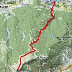
ZeutschachFischerwirt1,6 kmGraslupp2,0 kmZecki's Hütte3,3 kmUrsprungbach3,5 kmSankt Marein bei Neumarkt5,9 kmPfarrkirche hl. Katharina7,6 kmNeumarkt in der Steiermark7,7 km
- Beste seizoen
-
janfebmrtaprmeijunjulaugsepoktnovdec
- Maximale hoogte
- Zeutschach GH Seidl (1.034 m)
- Rust/Retraite
-
Inn Seidl, Fischerwirt and Forellenfarm
- Kaartmateriaal


GPS Downloads


Condities van het pad
Asfalt
Steenslag
Weide
Bos
Rots
Moeilijk
Meer rondleidingen in de regio's