

© Wanderhotels - Udo Bernhardt Wanderhotels

© Wanderhotels - Udo Bernhardt Wanderhotels

© Wanderhotels - Udo Bernhardt Wanderhotels

© Wanderhotels - Udo Bernhardt Wanderhotels

© Wanderhotels - Udo Bernhardt Wanderhotels

- Korte beschrijving
-
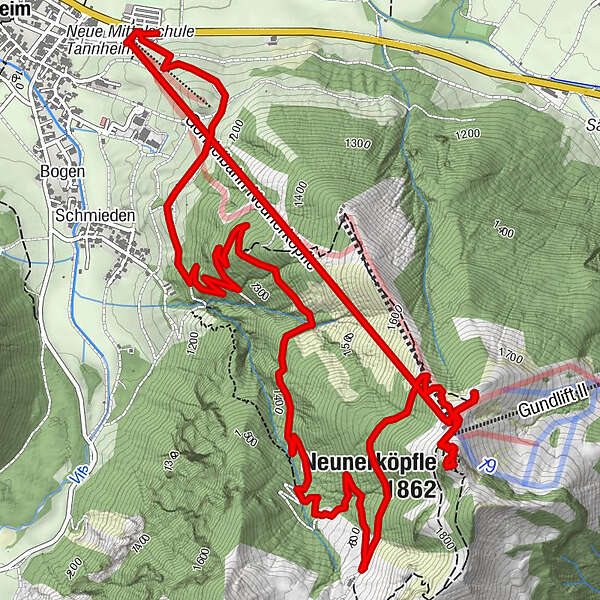
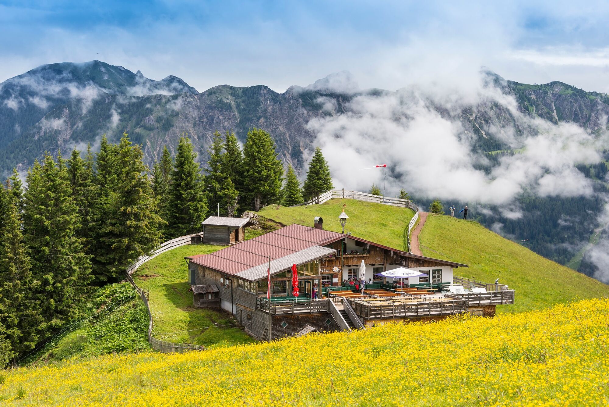
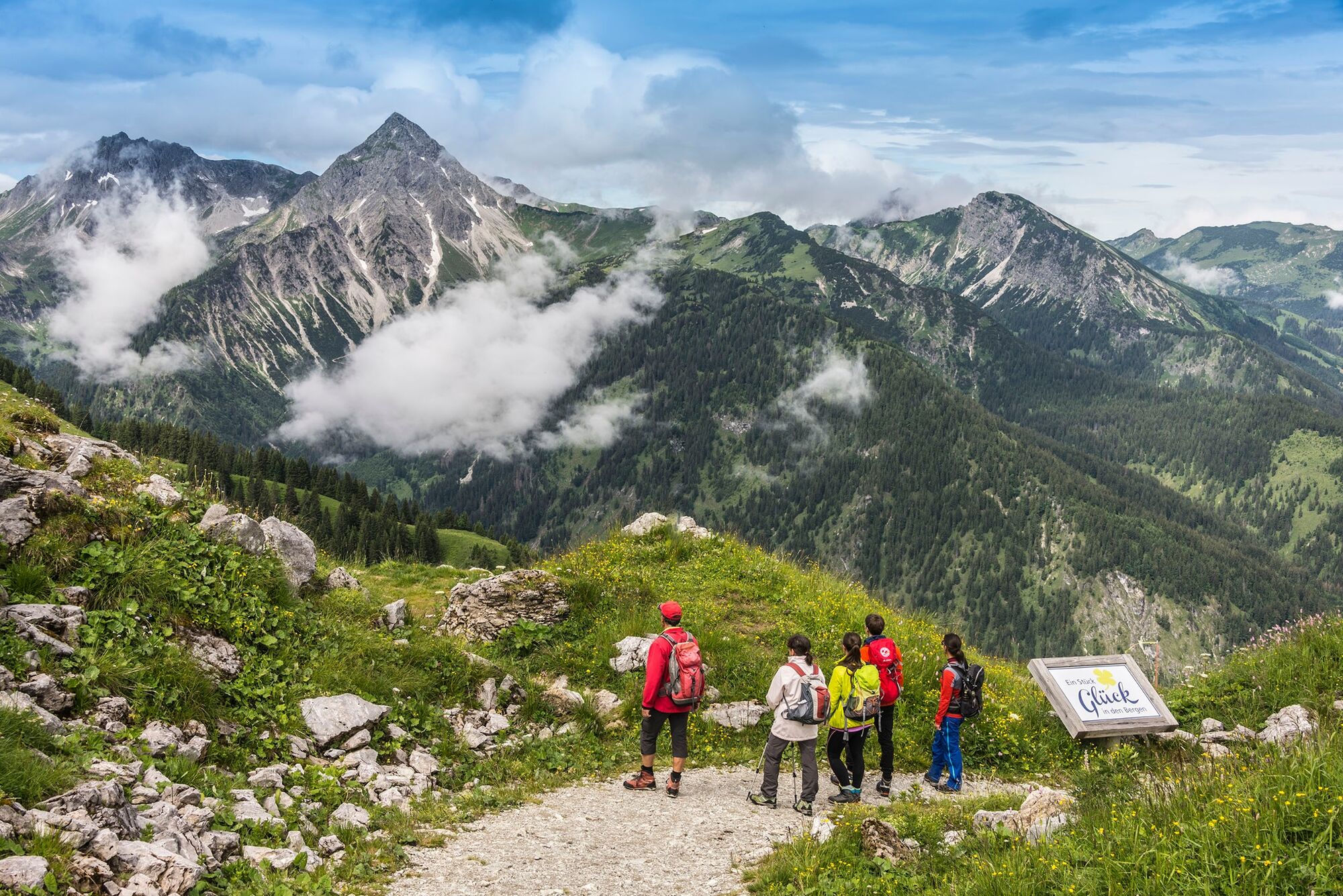
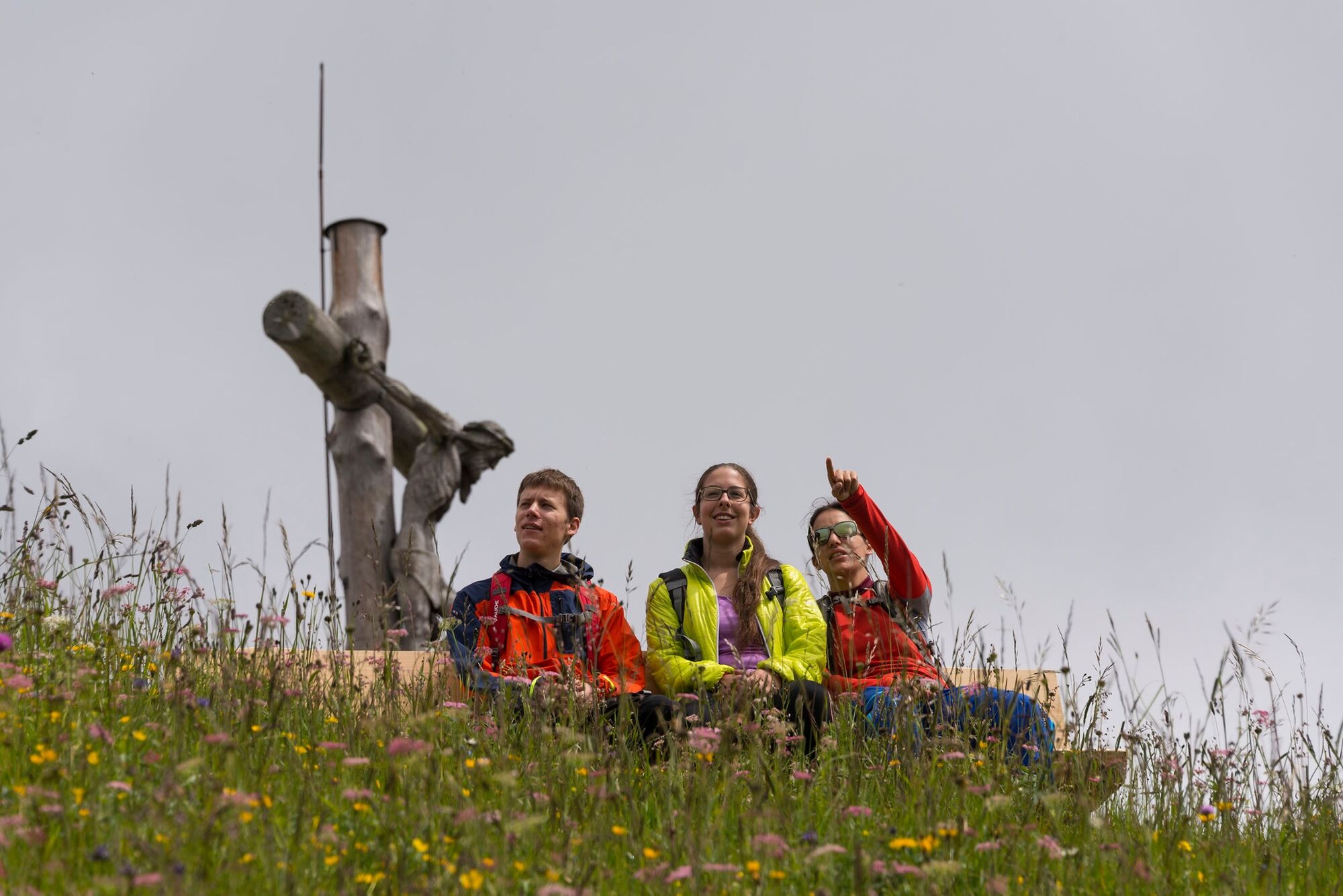
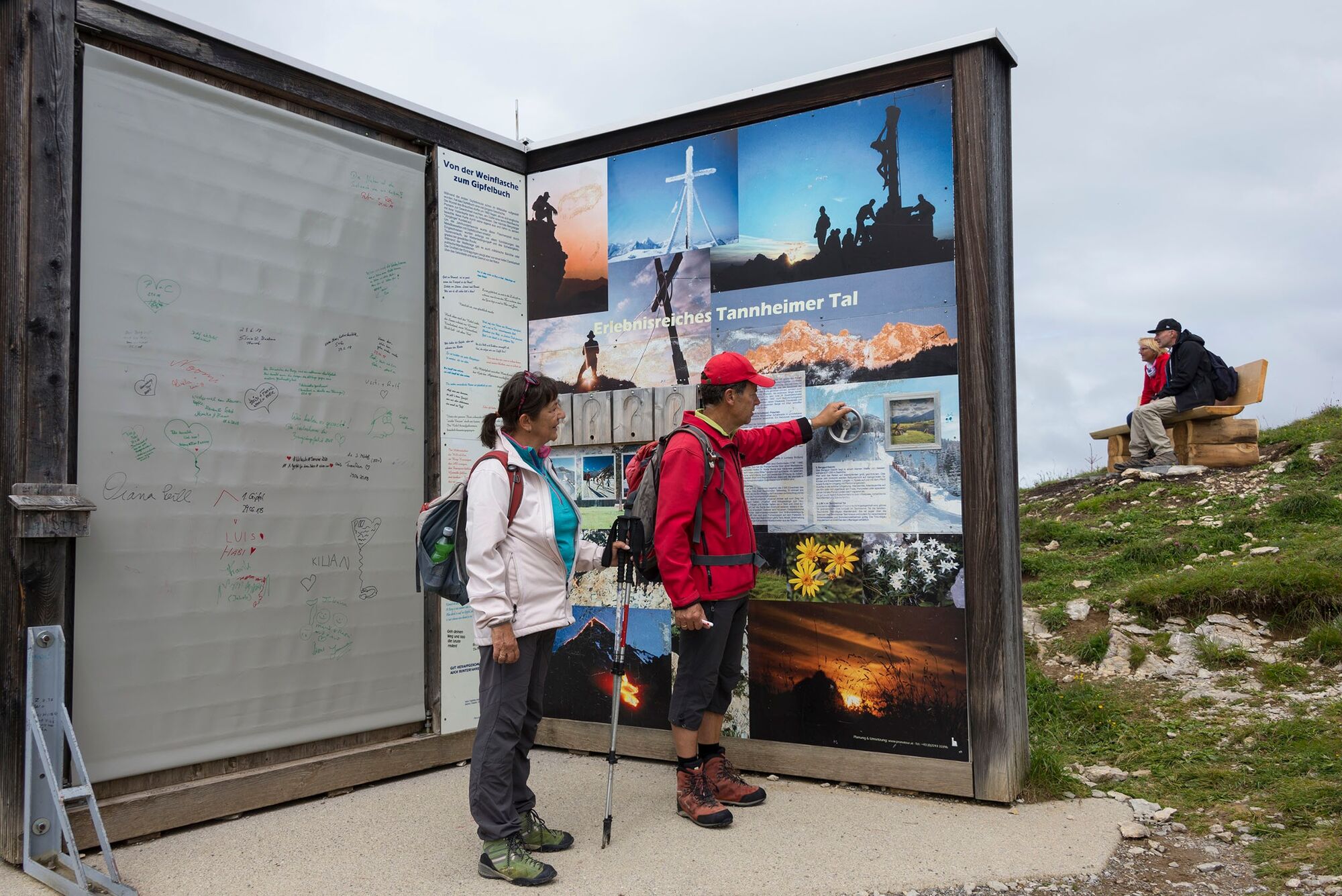
Easy hike on the trail to the summit - with the gondola downhill
- Route
-
Urfall1,7 kmNeunerköpfle (1.862 m)6,9 kmGundhütte7,5 kmGondelbahn Neunerköpfle7,8 kmGondelbahn Neunerköpfle8,7 km
- Maximale hoogte
- 1.819 m
- Hoogteprofiel
-

-

-
AuteurDe rondleiding Neunerköpfle 1864 m wordt gebruikt door outdooractive.com op.
GPS Downloads


Meer rondleidingen in de regio's
-
Allgäu
2362
-
Tannheimer Tal
1459
-
Tannheim
519


