Toerdatums
38,96km
66
- 494m
522hm
222hm
03:15h
- Korte beschrijving
-
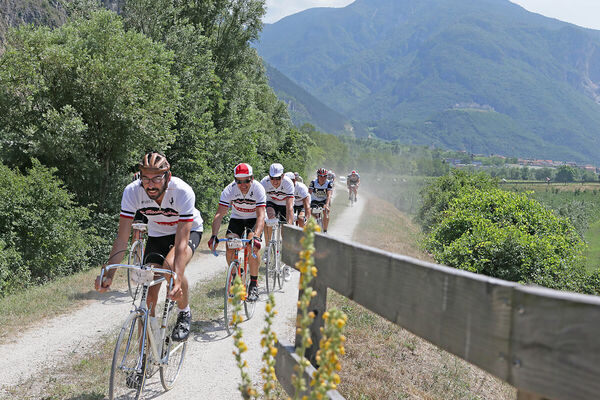
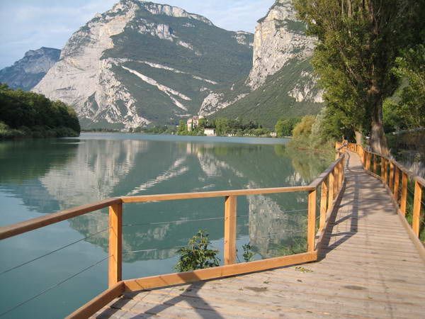
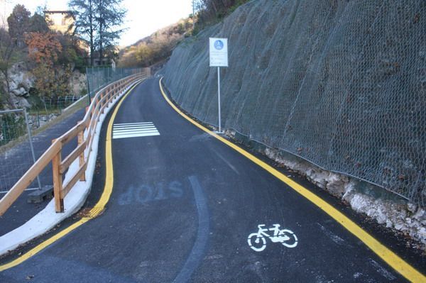
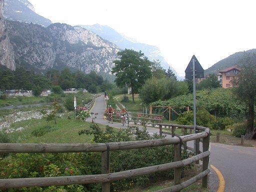
The Valle dei Laghi walking and cycling path starts from the shores of Lake Garda, near the delta of the Sarca river.
- Moeilijkheid
-
medium
- Waardering
-
- Route
-
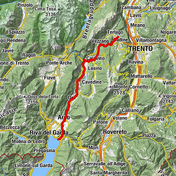
Peschère0,6 kmArco6,1 kmChiesa di San Giuseppe6,5 kmMogno6,6 kmSan Martino7,3 kmPrabi7,6 kmMoletta8,0 kmCeniga10,4 kmDro11,8 kmLago15,3 kmMonte Taglio di Sarca18,3 kmPietramurata20,5 kmMaso del Gobbo22,5 kmSarche24,4 kmPonte Oliveti25,1 kmCalavino28,1 kmcappella del crocifisso29,4 kmPadergnone29,7 kmAlbergo pizzeria Vezzano31,7 kmChiesa dei Santi Vigilio e Valentino31,8 kmVezzano32,0 kmRistorante al Vecchio Mulino34,1 km
- Beste seizoen
-
janfebmrtaprmeijunjulaugsepoktnovdec
- Maximale hoogte
- 494 m
- Bestemming
-
Terlago
- Hoogteprofiel
-
 © outdooractive.com

- Auteur
-
De rondleiding Valle del Sarca bike Path wordt gebruikt door outdooractive.com op.
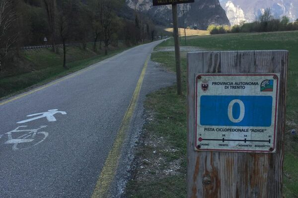
GPS Downloads


Algemene info
Verfrissingsstop
Cultureel/Historisch
Tip voor insiders
Flora
Meer rondleidingen in de regio's