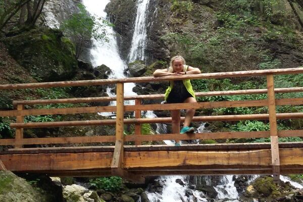
© APT - Trento, Monte Bondone e Valle dei Laghi - Archivio APT Trento - G. Cavulli

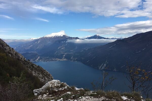
© APT - Trento, Monte Bondone e Valle dei Laghi - Archivio APT Trento - foto F. Zanlucchi
Toerdatums
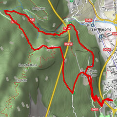
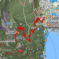
18,75km
942
- 1.801m
1.358hm
1.353hm
05:30h


- Korte beschrijving
-
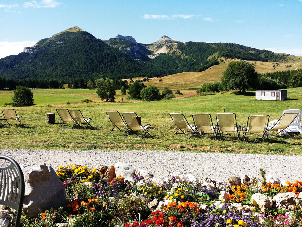
From Piana delle Viote, at the Three Peaks Nature Reserve and the peat bog, you will reach along the convenient trail 618 to Lagolo Lake.
- Moeilijkheid
-
medium
- Waardering
-
- Route
-
Costa dei Cavai1,9 kmBocca Vaiona (1.700 m)3,3 kmCavizzani (1.600 m)6,5 kmStrengiador7,7 kmCaverna Strengiador7,8 kmLagolo8,9 kmCavizzani (1.600 m)12,2 kmBocca Vaiona (1.700 m)15,4 kmCosta dei Cavai16,6 km
- Beste seizoen
-
janfebmrtaprmeijunjulaugsepoktnovdec
- Maximale hoogte
- 1.801 m
- Bestemming
-
Lagolo lake
- Hoogteprofiel
-
 © outdooractive.com

- Auteur
-
De rondleiding VIOTE - LAGOLO wordt gebruikt door outdooractive.com op.
GPS Downloads


Algemene info
Tip voor insiders
Flora
Fauna
Veelbelovend
Meer rondleidingen in de regio's