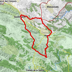
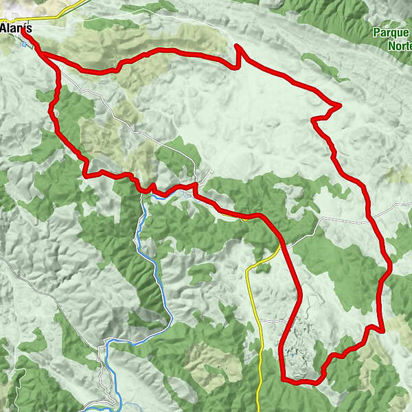
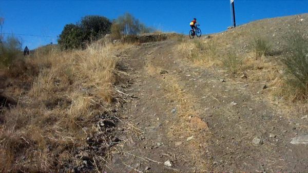
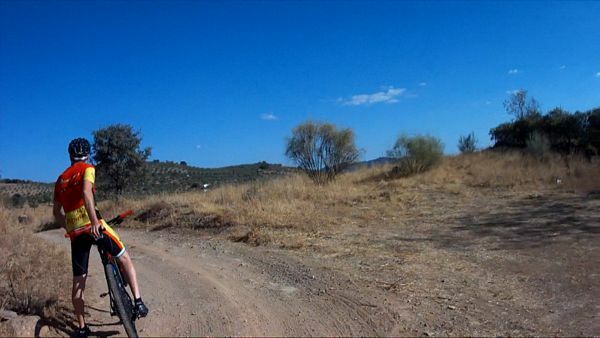
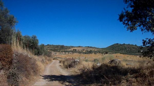
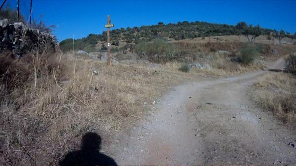
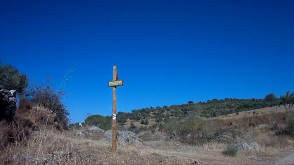
Centro MTB Alanís. Alanís - Cerro del Hierro - San Nicolás
Mountainbike


- Moeilijkheid
-
zwaar
- Waardering
-
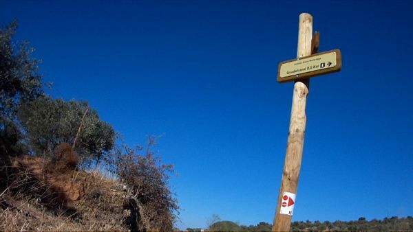
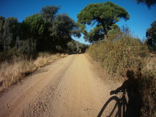
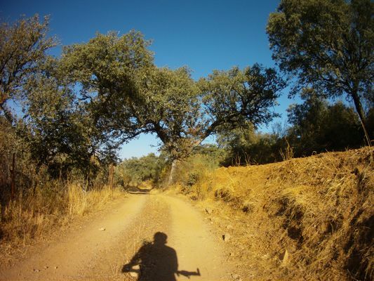
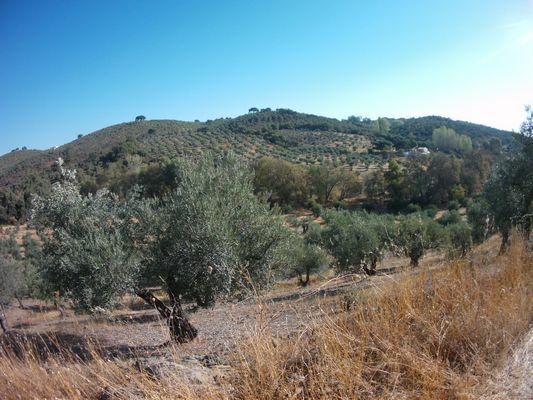
- Route
-
Alanís (673 m)0,0 kmFontanilla14,0 kmCerro del Hierro25,1 kmNacimiento de la Rivera del Huéznar30,1 kmLa Plaza30,3 kmSan Nicolás del Puerto (576 m)30,7 kmCascadas del Hueznar32,4 kmRestaurante El Martinete32,9 kmAlanís (673 m)40,3 km
- Maximale hoogte
- 731 m
- Bestemming
-
Alanís
- Hoogteprofiel
-
 © outdooractive.com
- Auteur
-
De rondleiding Centro MTB Alanís. Alanís - Cerro del Hierro - San Nicolás wordt gebruikt door outdooractive.com op.
GPS Downloads


Algemene info
Flora