© Kurt Müller - Zermatt Tourismus
© Fabienne Schaller - Zermatt Tourismus
© Fabienne Schaller - Zermatt Tourismus
© Fabienne Schaller - Zermatt Tourismus

© Fabienne Schaller - Zermatt Tourismus

- Korte beschrijving
-
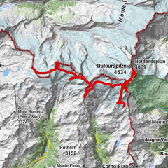
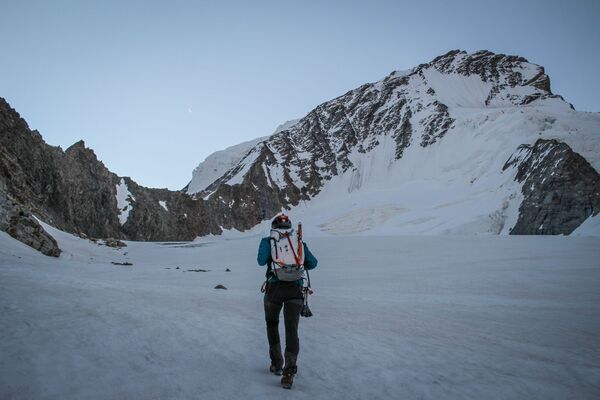
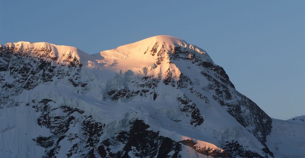
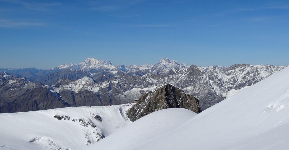
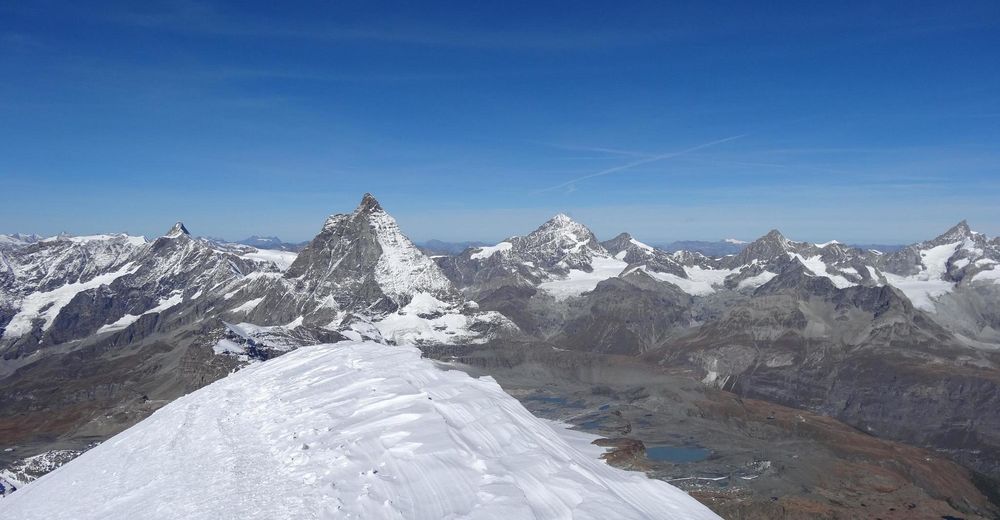
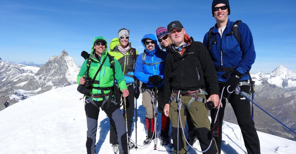
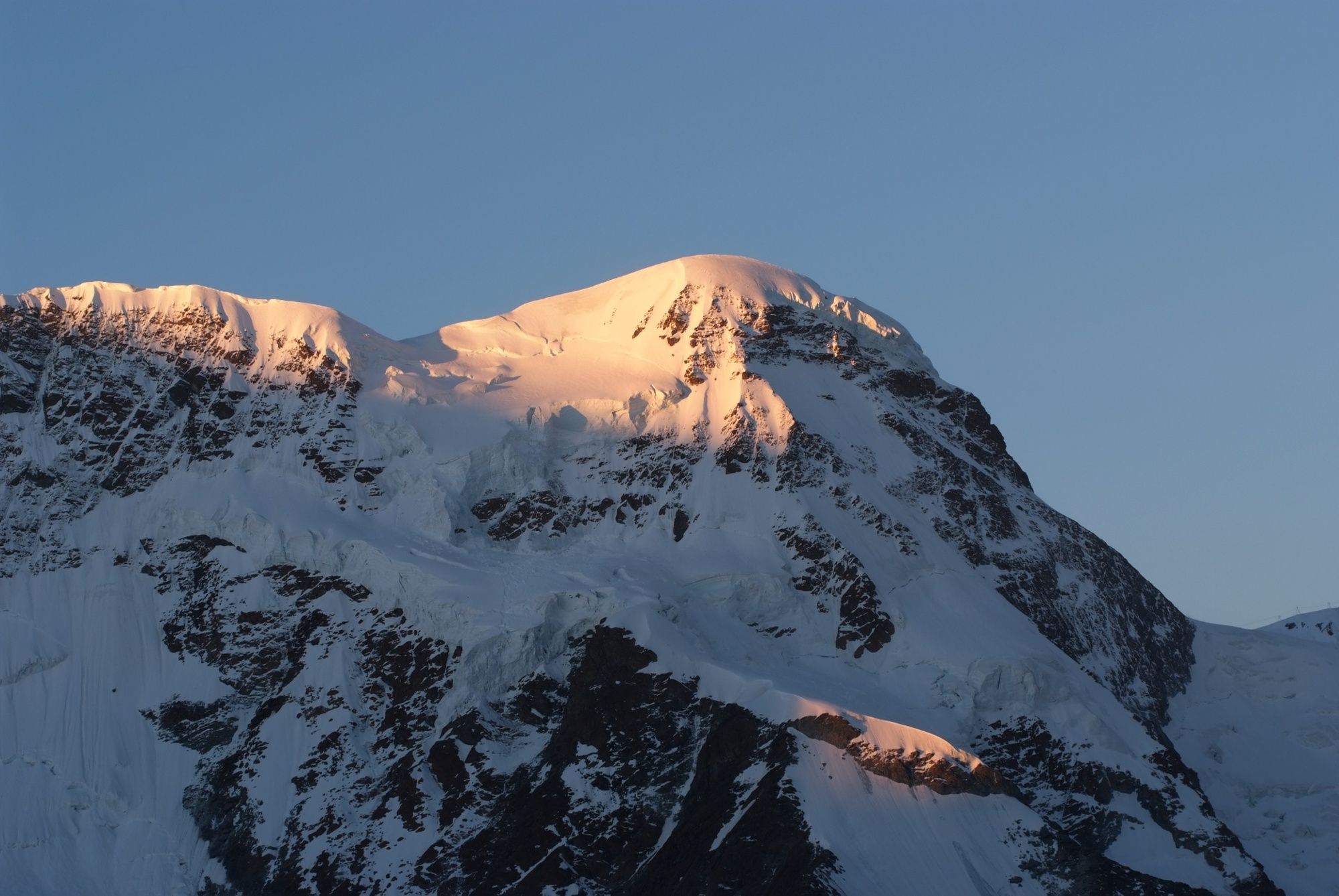
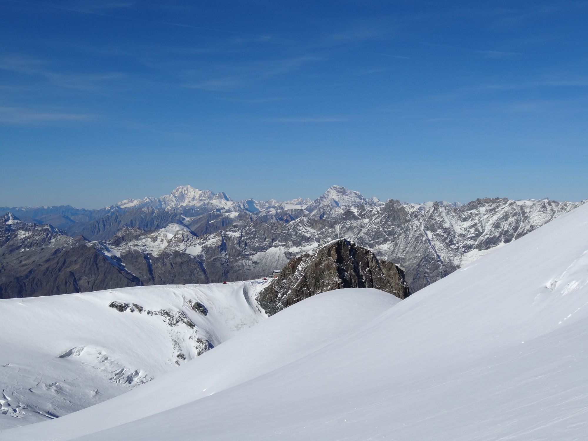
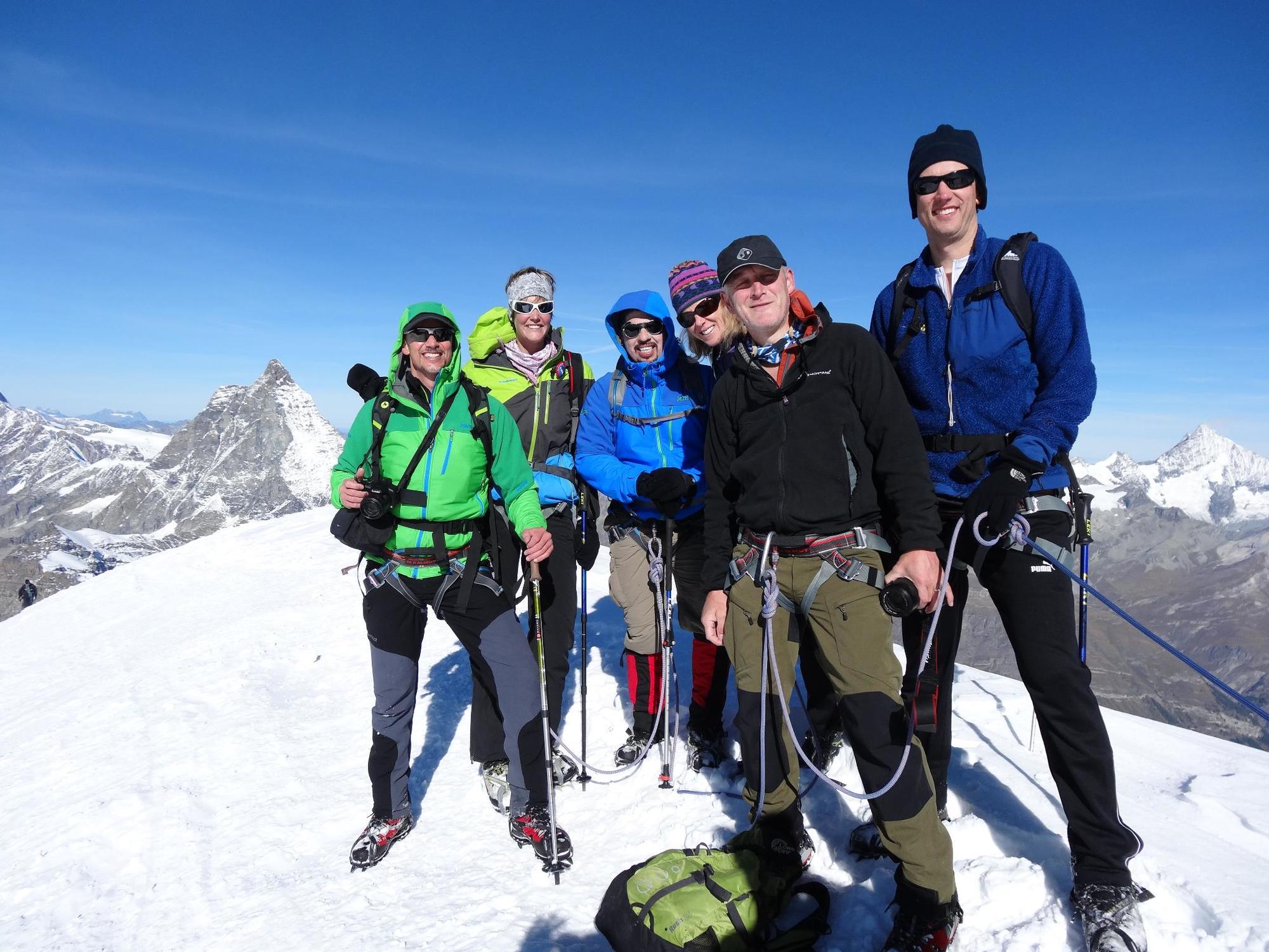
The Breithorn (4,164 m), with its many summits, is a strong, glaciered mountain crest. The normal climb is considered as one of the easiest routes for climbing a four-thousand metre mountain.
- Moeilijkheid
-
medium
- Waardering
-
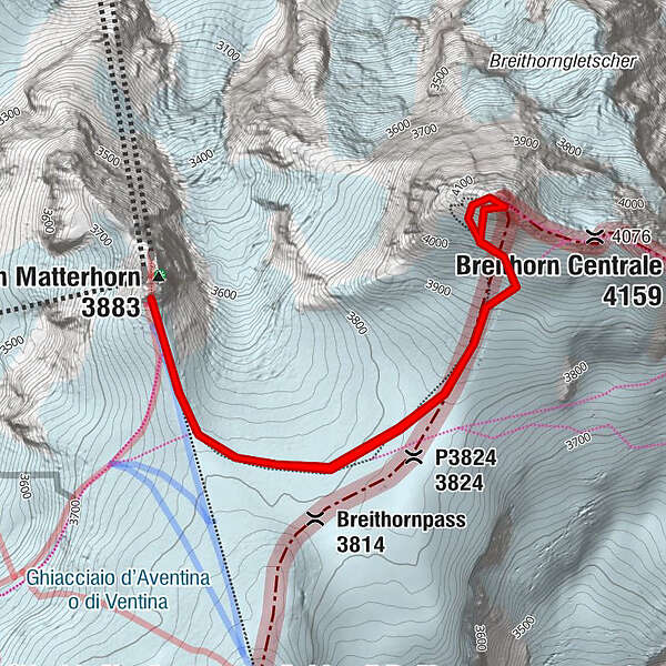
- Route
-
P3824 (3.824 m)1,2 kmPiccolo Cervino (3.883 m)5,3 km
- Beste seizoen
-
janfebmrtaprmeijunjulaugsepoktnovdec
- Maximale hoogte
- 4.143 m
- Bestemming
-
Breithorn (4,164 m)
- Hoogteprofiel
-
 © outdooractive.com


- Auteur
-
De rondleiding Breithorn Ascent wordt gebruikt door outdooractive.com op.
GPS Downloads


Algemene info
Verfrissingsstop
Veelbelovend
Meer rondleidingen in de regio's
-
Unterwallis
23
-
Mattertal
25
-
Zermatt
19