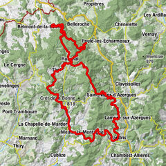
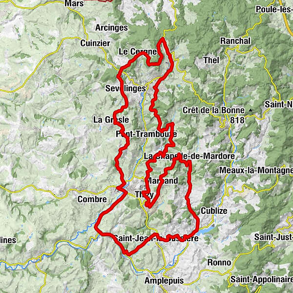
Green Beaujolais - The Trambouze Valley - Loop 3.6

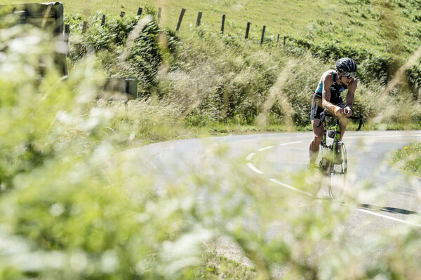
Racefiets

© © Beaujolais Vert Tourisme

- Korte beschrijving
-
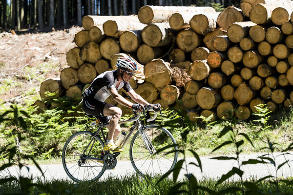
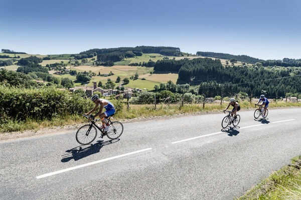
The Beaujolais Vert is a perfect area for regular cycle hikers looking for a difference in altitude. Among the 6 loops, 3 are rated “difficult” and 3 “very difficult”!
- Moeilijkheid
-
zwaar
- Waardering
-
- Route
-
Thizy0,1 kmÉglise Notre-Dame0,3 kmMardore7,8 kmÉglise Saint-Laurent7,9 kmLe Suchet8,2 kmLe Tonnelier8,7 kmGarnaron9,5 kmCrozet10,0 kmVerroux10,5 kmLe Château12,7 kmLe Lavoir13,3 kmCours14,0 kmPins des Maures15,4 kmLa Ville16,6 kmLépardet17,0 kmLe Gaudinet17,3 kmLa Bûche18,4 kmLa Garenne20,9 kmLe Poizat22,2 kmLassy22,3 kmLe Cergne22,7 kmLe Bel'Vue22,8 kmRavier23,4 kmCol de la Croix Couverte (614 m)24,4 kmSevelinges26,3 kmLa Gresle29,1 kmLevon33,7 kmLa Sallière34,4 kmBourg-de-Thizy36,5 kmLe Treuil40,4 kmSaint-Victor-sur-Rhins41,5 kmSaint-Jean-la-Bussière46,6 kmFedollière49,0 kmLa Chapelle-de-Mardore56,0 kmÉglise Saint-Blaise56,1 kmLes Bornes57,6 kmLa Montagne57,9 kmLe Mantelier60,9 kmMarnand61,4 kmChapelle Saint-Roch61,6 kmThizy64,4 km
- Beste seizoen
-
janfebmrtaprmeijunjulaugsepoktnovdec
- Maximale hoogte
- 713 m
- Bestemming
-
Gendarmerie, Thizy-les-Bourgs
- Hoogteprofiel
-
 © outdooractive.com

-
-
AuteurDe rondleiding Green Beaujolais - The Trambouze Valley - Loop 3.6 wordt gebruikt door outdooractive.com op.
GPS Downloads


Algemene info
Verfrissingsstop
Cultureel/Historisch
Flora
Veelbelovend
Meer rondleidingen in de regio's
-
Loire
17
-
Ouest Rhodanien
27