Route des Grandes Alpes - From Cluses to La Clusaz (2)

Racefiets
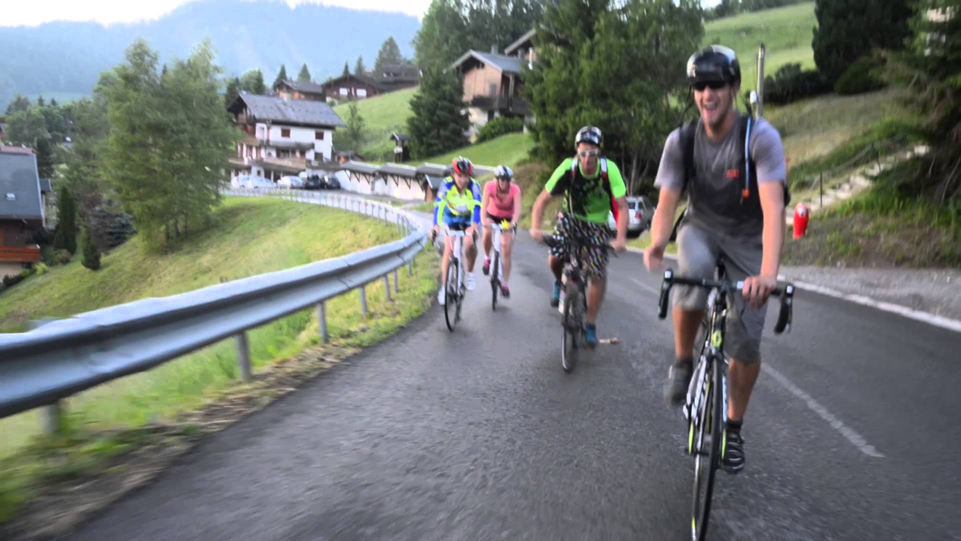
© TILT COM’SEIL - Brice Milbergue
© Grande Traversée des Alpes

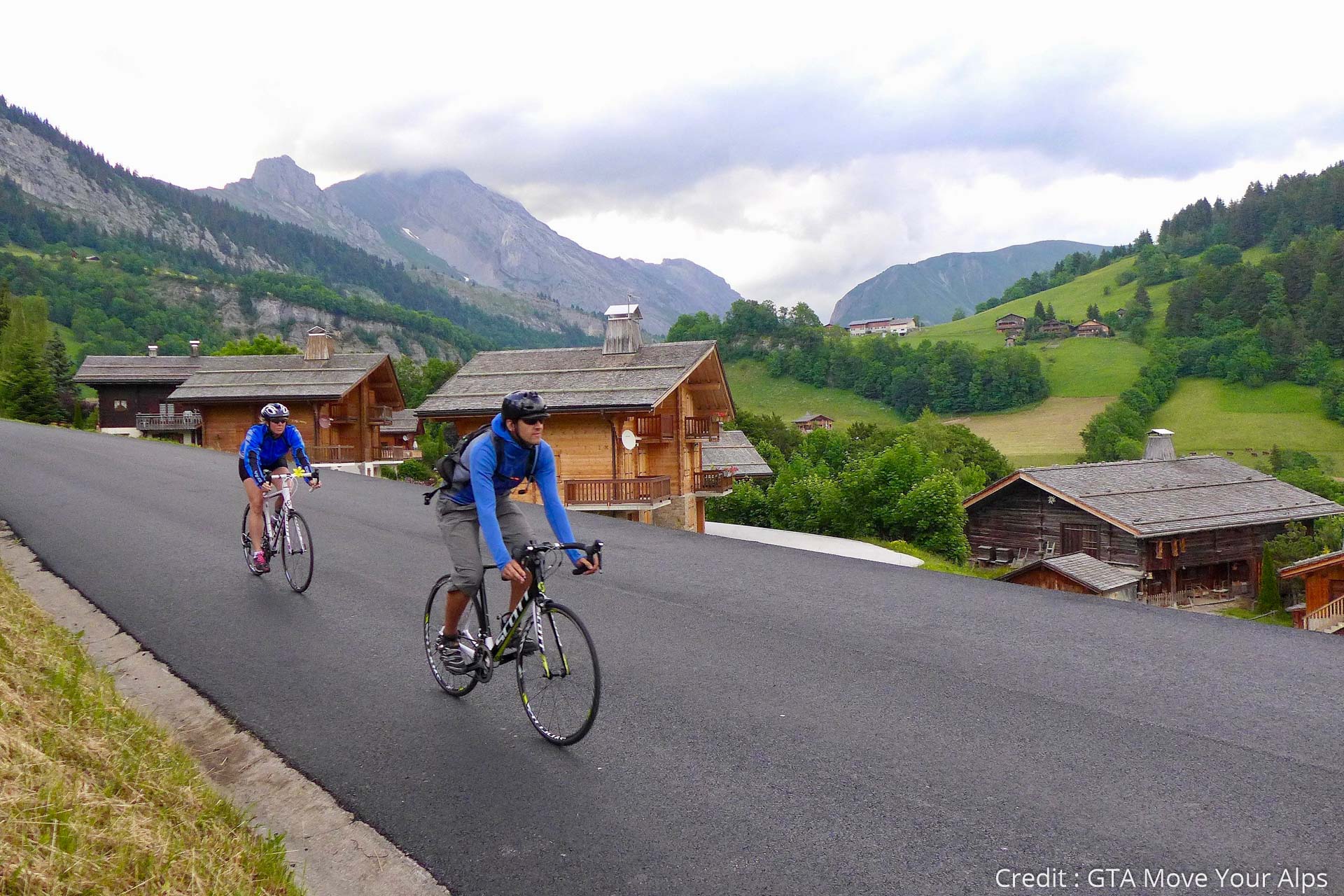
© TILT COM’SEIL - Lionel Terrail

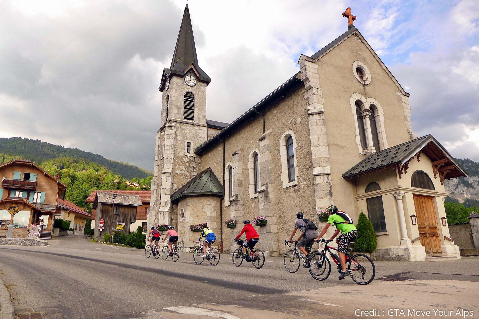
© TILT COM’SEIL - Lionel Terrail

© TILT COM’SEIL - Lionel Terrail
Toerdatums
36,81km
481
- 1.612m
1.281hm
724hm
03:35h

TILT COM’SEIL
- Korte beschrijving
-
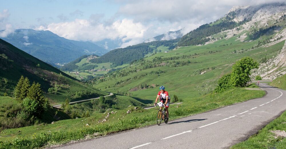
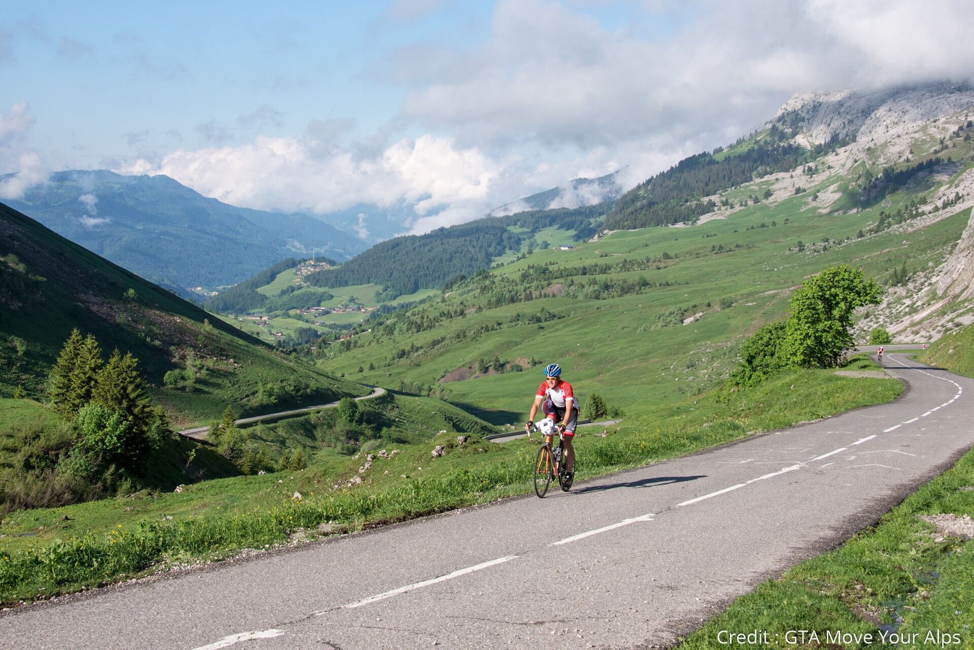
From Cluses, you will go to Le Grand Bornand by the col de la Colombière for the first "Tour de France style" climb! You will then arrive in the heart of the Aravis, famous for its ski resorts, and of course its reblochon!
- Moeilijkheid
-
zwaar
- Waardering
-
- Route
-
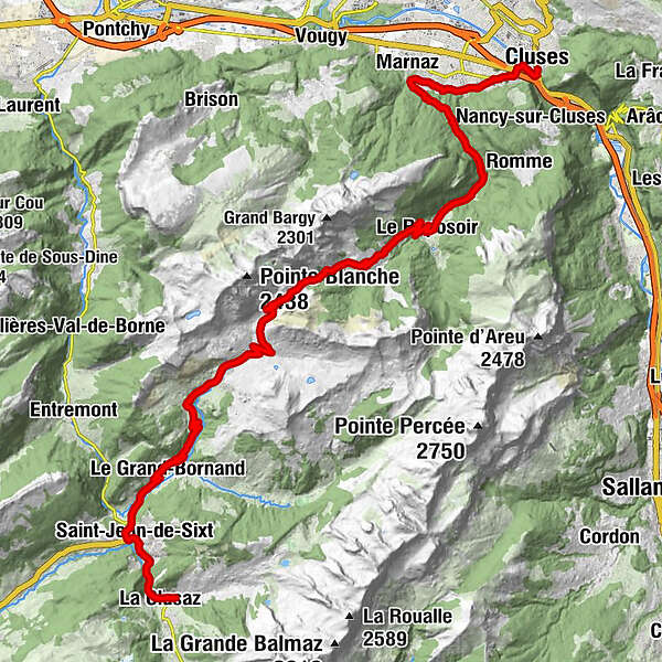
ClusesMarnaz4,8 kmBlanzy5,0 kmNeyrolles6,7 kmgrotte de Sècheron (900 m)8,8 kmLe Reposoir11,7 kmLa Chartreuse12,0 kmPralong12,0 kmLa Colombière19,2 kmLes Bouts22,1 kmLa Mulaterie23,6 kmSamance23,6 kmLe Jalouvre24,1 kmLe Chinaillon24,2 kmLa Place25,3 kmCascade Mystérieuse25,4 kmLes Faux25,6 kmLa Frasse26,0 kmLe Plane26,3 kmLes Frasses26,6 kmLe Grand-Bornand30,1 kmLes Epinettes31,6 kmLe Villaret31,8 kmLucia33,4 kmLe Cabanon33,4 kmLe Peille33,4 kmÉglise Saint-Jean-Baptiste33,6 kmSaint-Jean-de-Sixt33,7 kmLes Sixt33,9 kmSous-Mont-Durand34,7 kmLes Mésers35,1 kmLa Clusaz36,3 km
- Beste seizoen
-
janfebmrtaprmeijunjulaugsepoktnovdec
- Maximale hoogte
- 1.612 m
- Bestemming
-
La Clusaz
- Hoogteprofiel
-
 © outdooractive.com

- Auteur
-
TILT COM’SEILDe rondleiding Route des Grandes Alpes - From Cluses to La Clusaz (2) wordt gebruikt door outdooractive.com op.