

© © Maxime Ballet

© © Maxime Ballet

© © Maxime Ballet

© © Maxime Ballet

© © Maxime Ballet

© © Maxime Ballet

© M.Ballet

© M.Ballet

© M.Ballet

© © Maxime Ballet

- Korte beschrijving
-
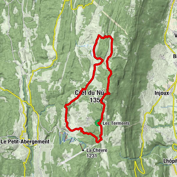
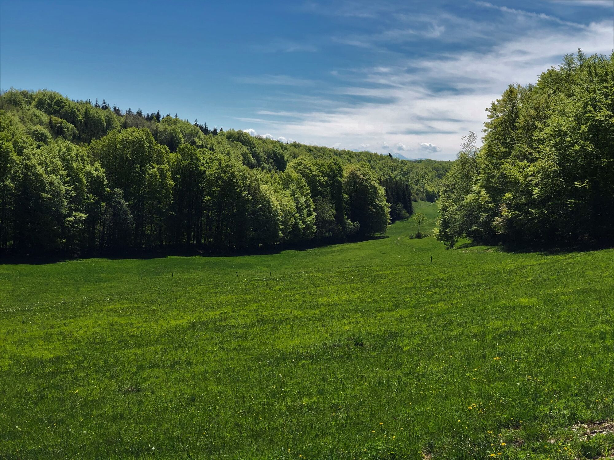
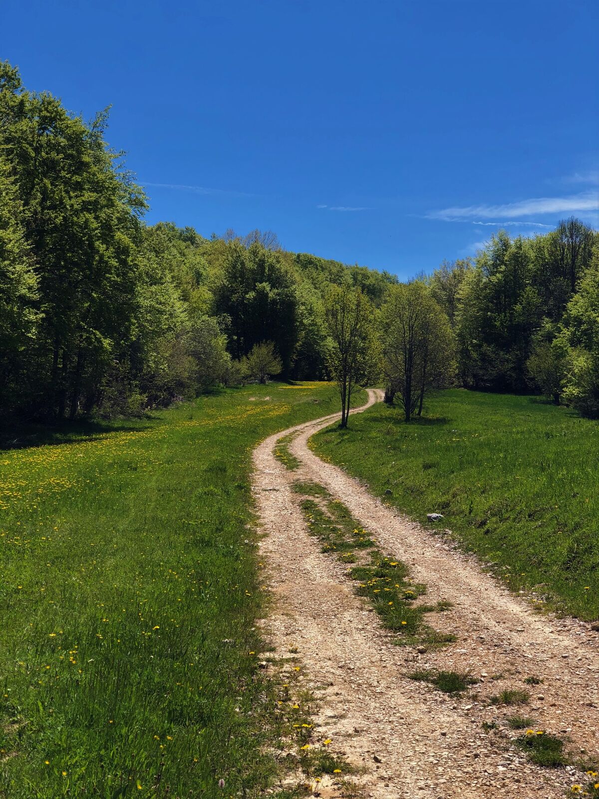
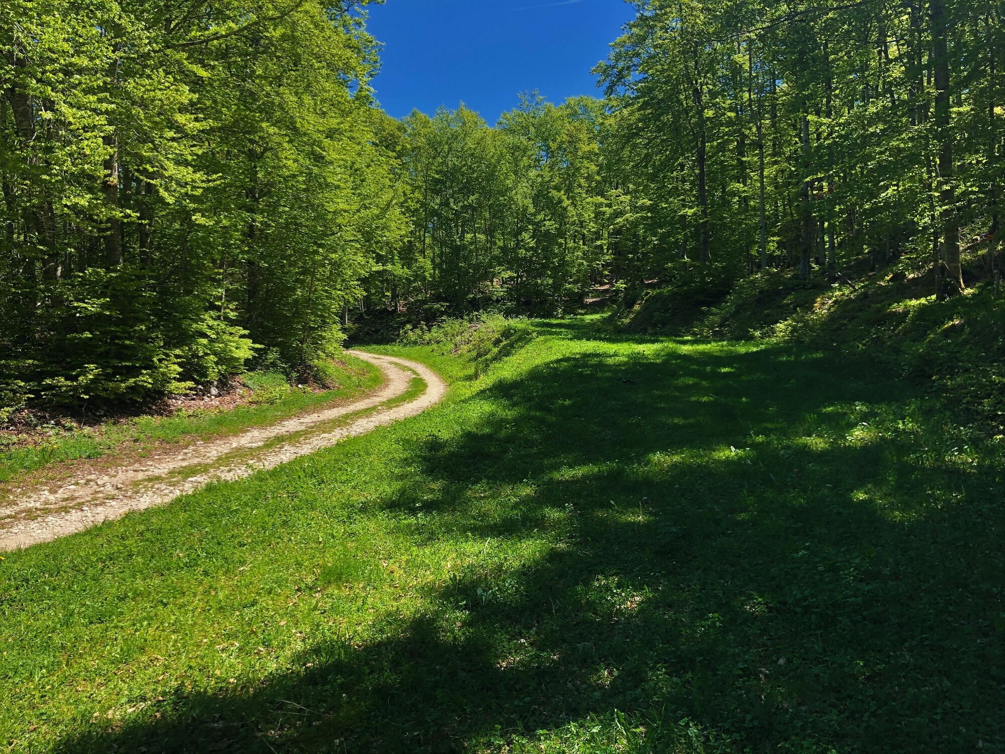
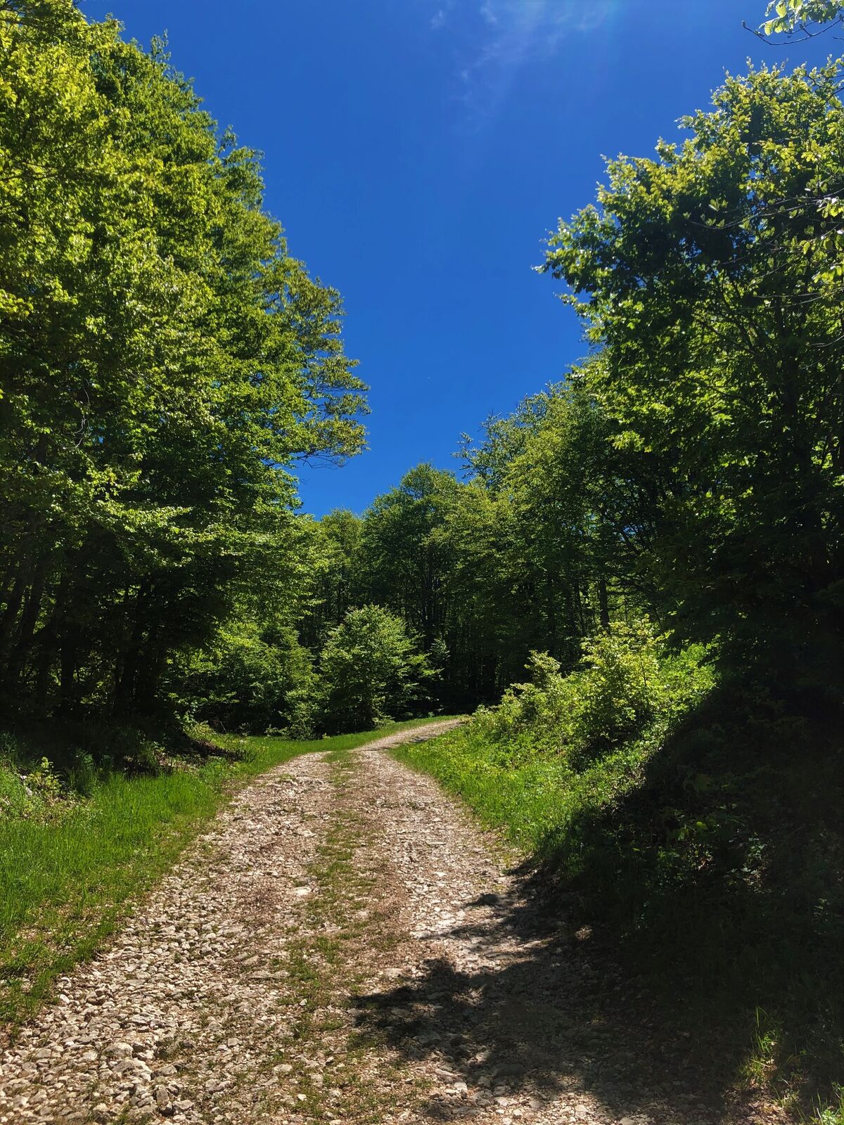
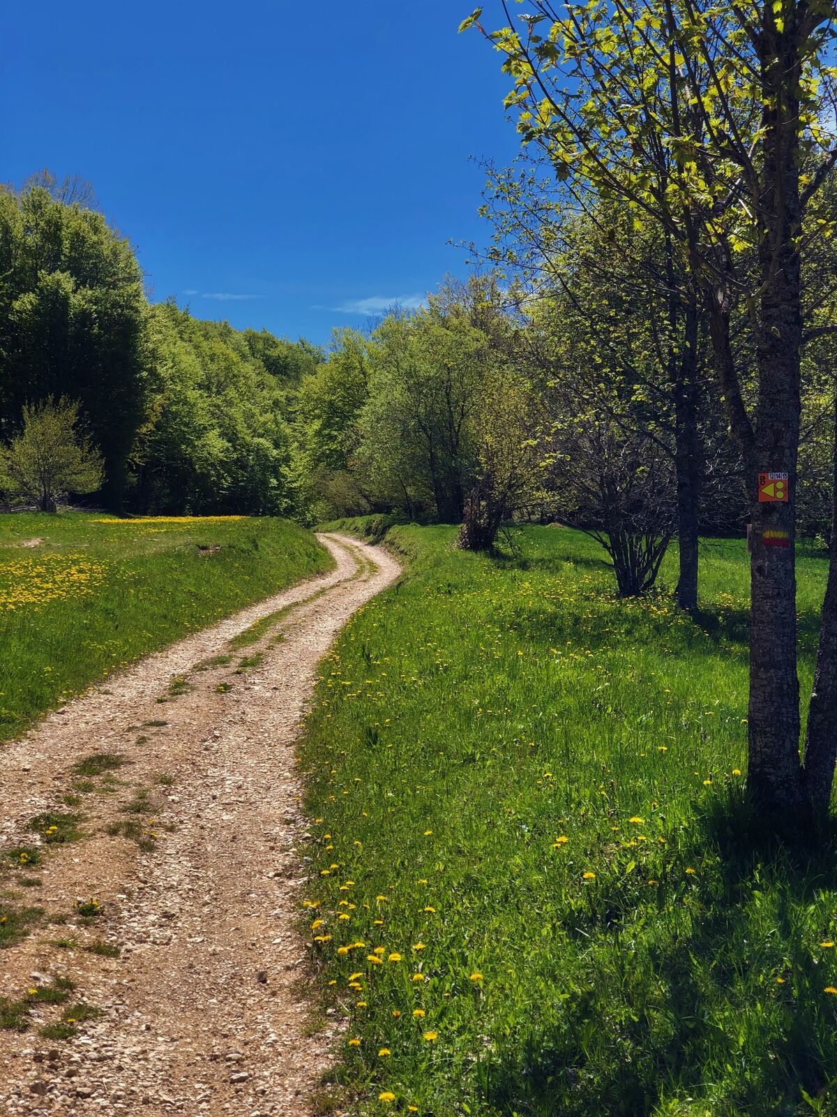
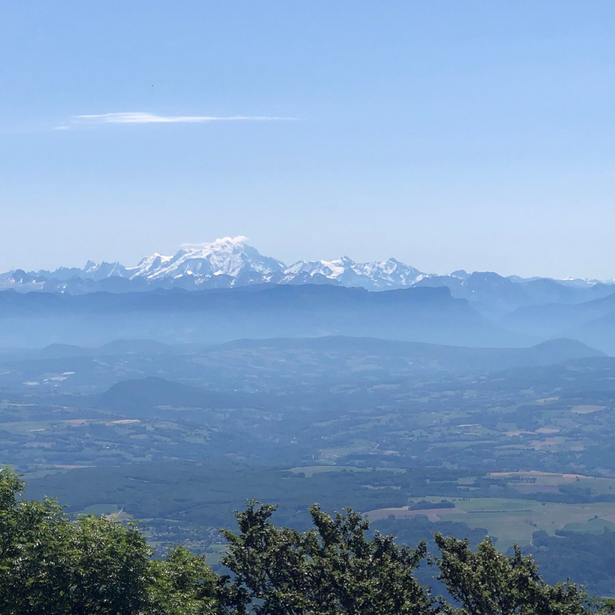
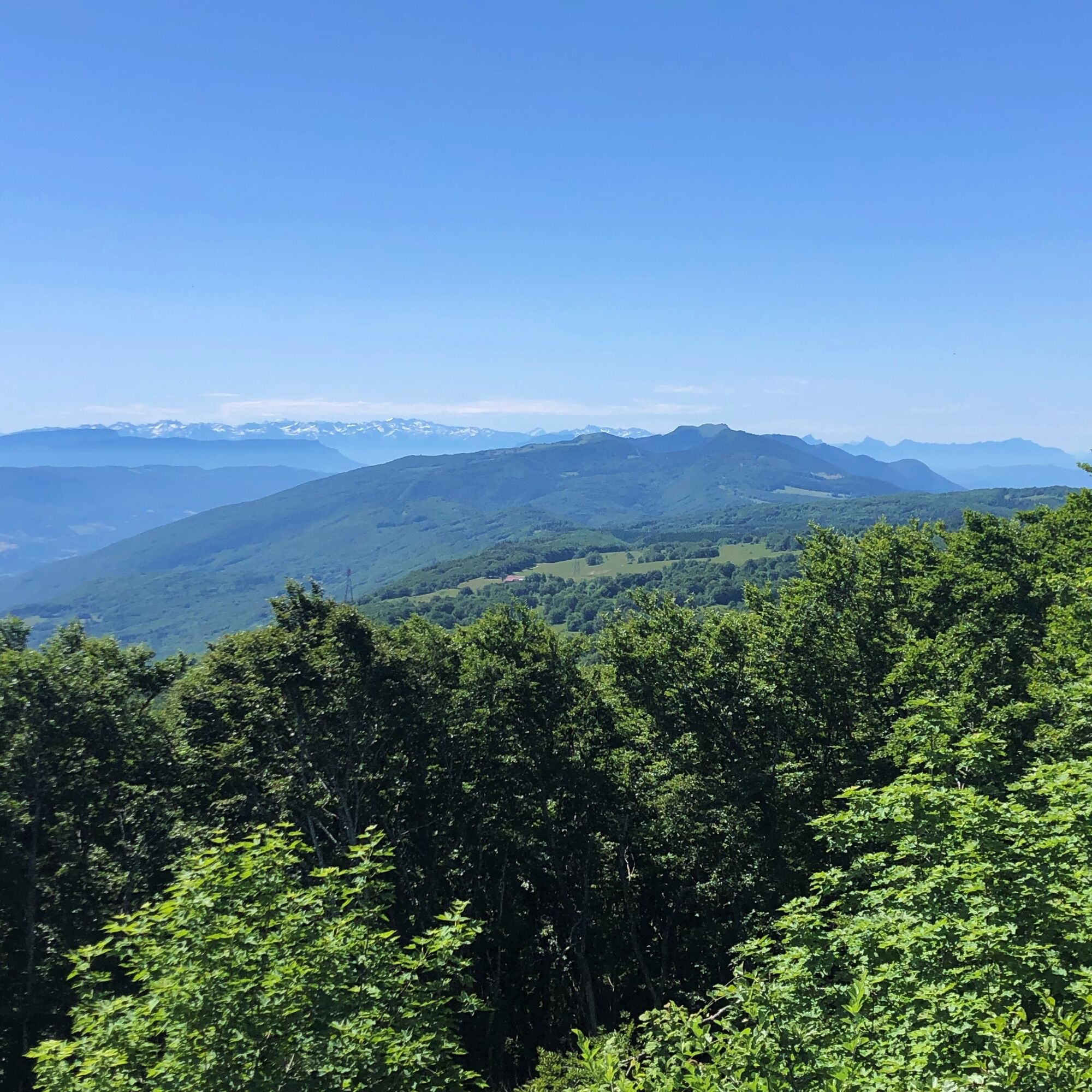
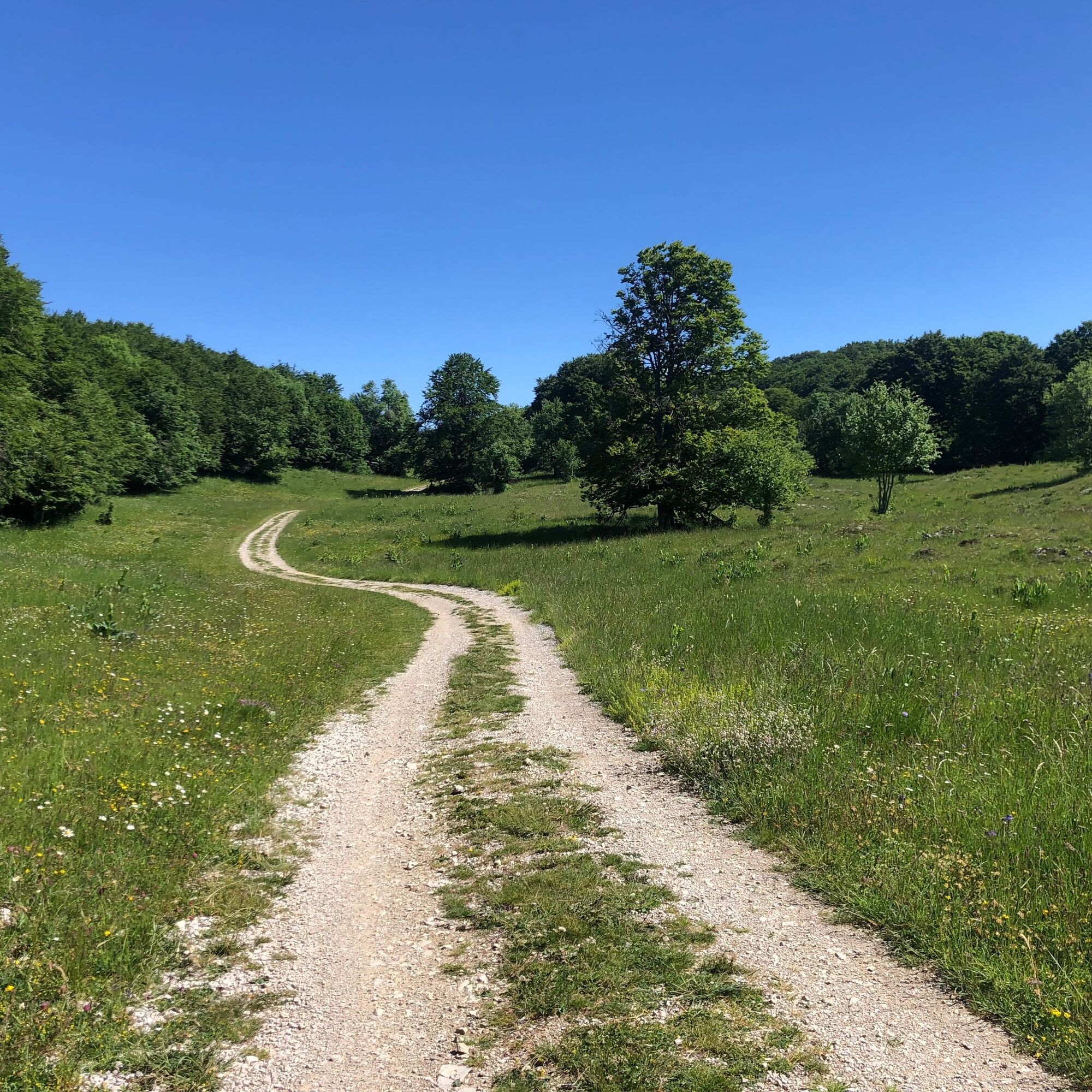
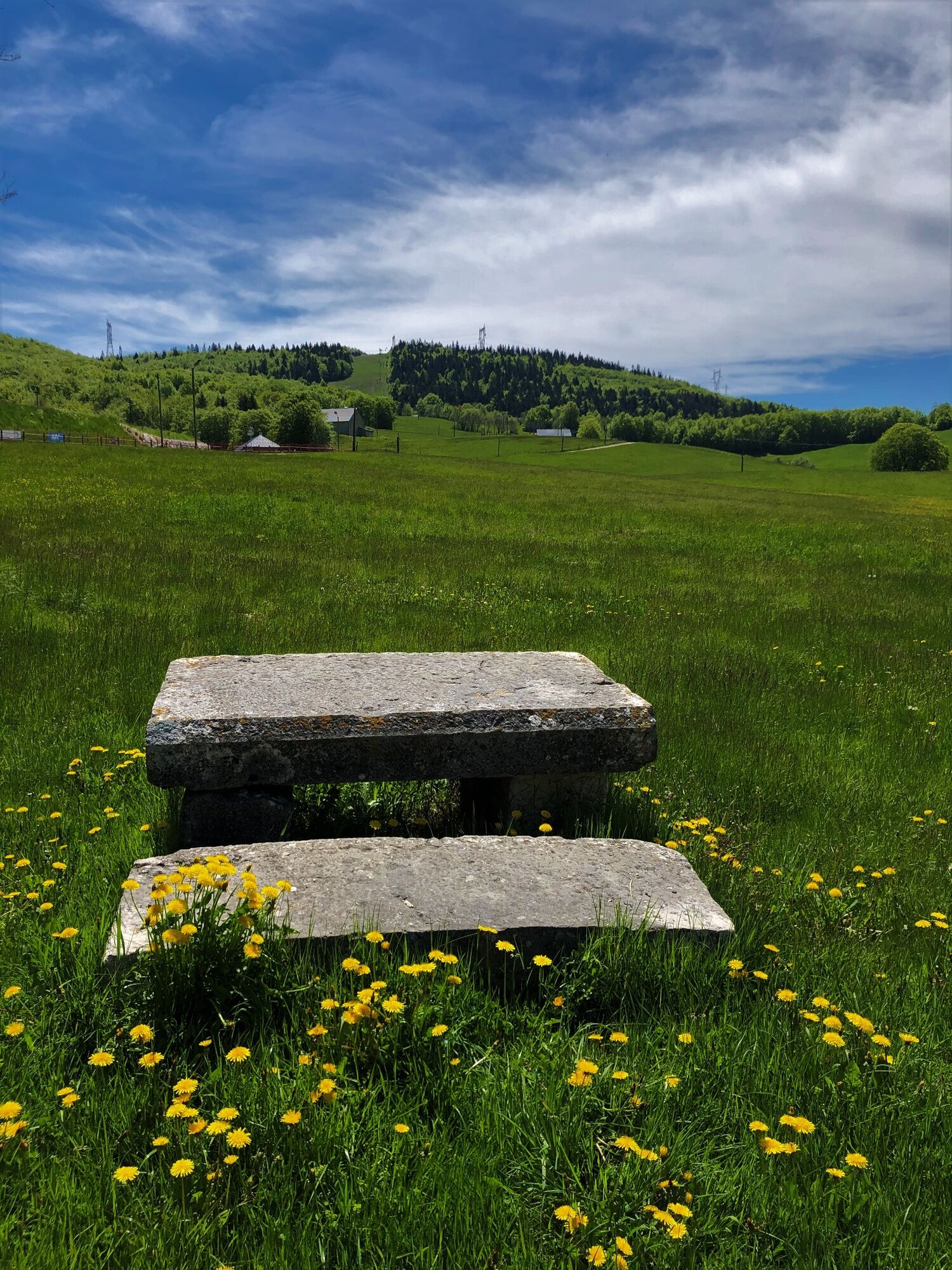
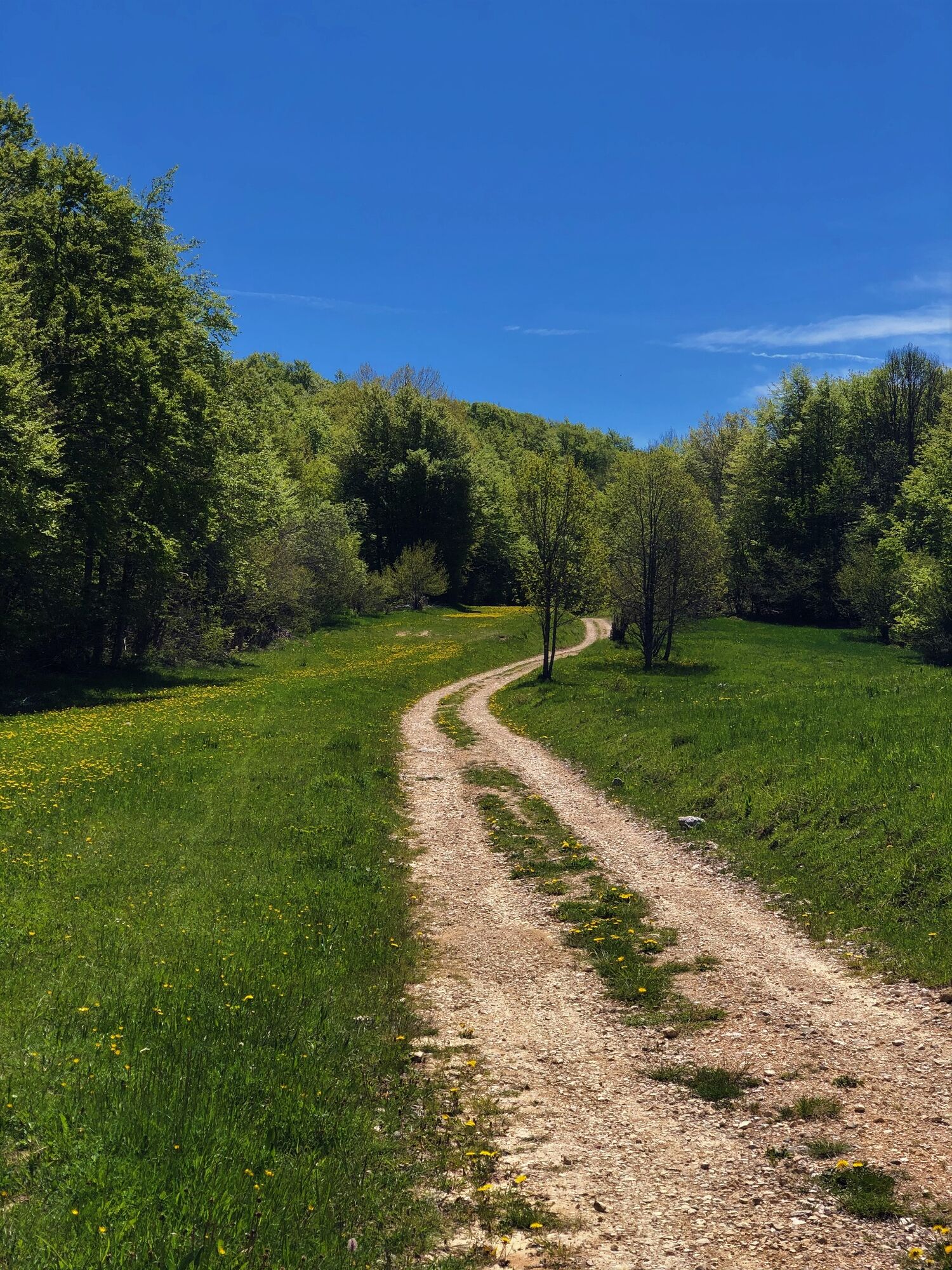
From the ski resort of Les Plans d'Hotonnes, the Plateau de Retord offers all its mountain characteristics: combes and forests, isolated typical farms, vast spaces and ridges such as Crêt du Nu and Tumet with views on the Alps and the Mont Blanc.
- Moeilijkheid
-
zwaar
- Waardering
-
- Route
-
Le Bon Plan0,1 kmLes Terments (1.197 m)3,5 kmCrêt du Nû (1.351 m)6,2 kmLa Ferme de Retord10,9 kmLa Bauche13,9 kmPré Brachet15,4 kmLes Plans d'Hotonnes18,5 km
- Beste seizoen
-
janfebmrtaprmeijunjulaugsepoktnovdec
- Maximale hoogte
- 1.343 m
- Bestemming
-
La Maison des Plans : bureau d'information touristique des Plans d'Hotonnes
- Hoogteprofiel
-
 © outdooractive.com


- Auteur
-
De rondleiding Running trail: Retord tour wordt gebruikt door outdooractive.com op.
GPS Downloads


Algemene info
Verfrissingsstop
Cultureel/Historisch
Tip voor insiders
Flora
Fauna
Veelbelovend
Meer rondleidingen in de regio's
-
Ain
31
-
Haut Bugey
23
-
Haut Valromey
10