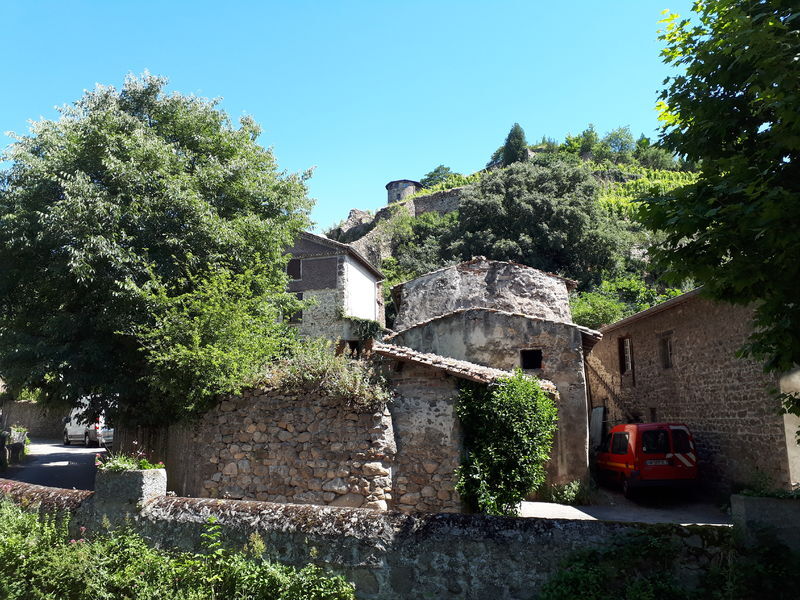
From Arbuel to the hills of Condrieu - Rhône Pilat - Condrieu

Wandelen

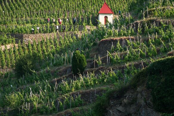
© Vienne Condrieu Tourisme

- Korte beschrijving
-
Attractions of this route
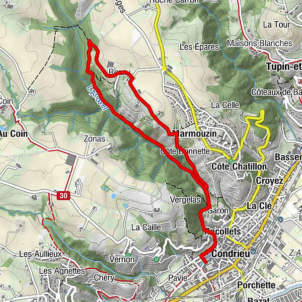
The Arbuel trail, shaped by thousands of mules carrying coal from the mines of Rive-de-Gier to the port of Condrieu. - Moeilijkheid
-
gemakkelijk
- Waardering
-
- Route
-
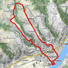
La CroixGrand Jardin0,1 kmCondrieu0,2 kmRecollets0,2 kmLa Garenne0,4 kmRozay3,1 kmMarmouzin4,0 kmCôte Bonnette4,2 kmLa Garenne5,0 kmRecollets5,2 kmCondrieu5,2 kmGrand Jardin5,3 kmLa Croix5,5 km
- Beste seizoen
-
janfebmrtaprmeijunjulaugsepoktnovdec
- Maximale hoogte
- 327 m
- Bestemming
-
Place du Marché aux Fruits towards the Arbuel auditorium
- Hoogteprofiel
-
 © outdooractive.com
-
-
AuteurDe rondleiding From Arbuel to the hills of Condrieu - Rhône Pilat - Condrieu wordt gebruikt door outdooractive.com op.
GPS Downloads


Algemene info
Helende klimaat
Cultureel/Historisch
Fauna
Veelbelovend
Meer rondleidingen in de regio's
-
Métropole de Lyon
818
-
Pilat Rhodanien
343