

© CCCC

© S-Calland

© S-Calland

© S CALLAND

© S CALLAND

© S CALLAND

© S CALLAND

© S CALLAND

- Korte beschrijving
-
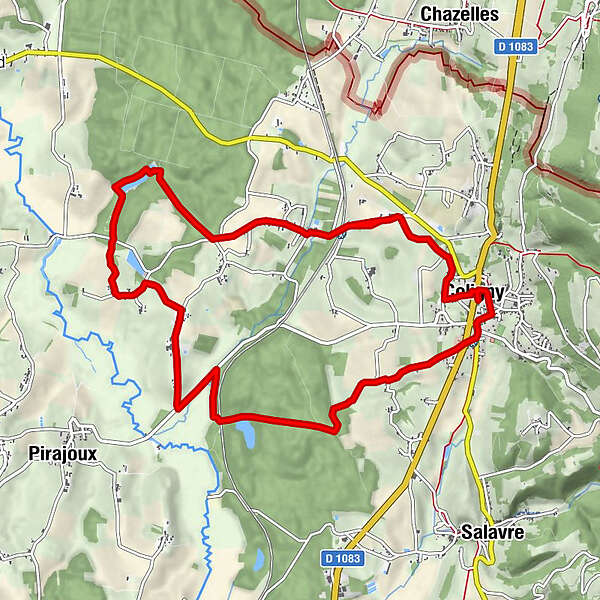
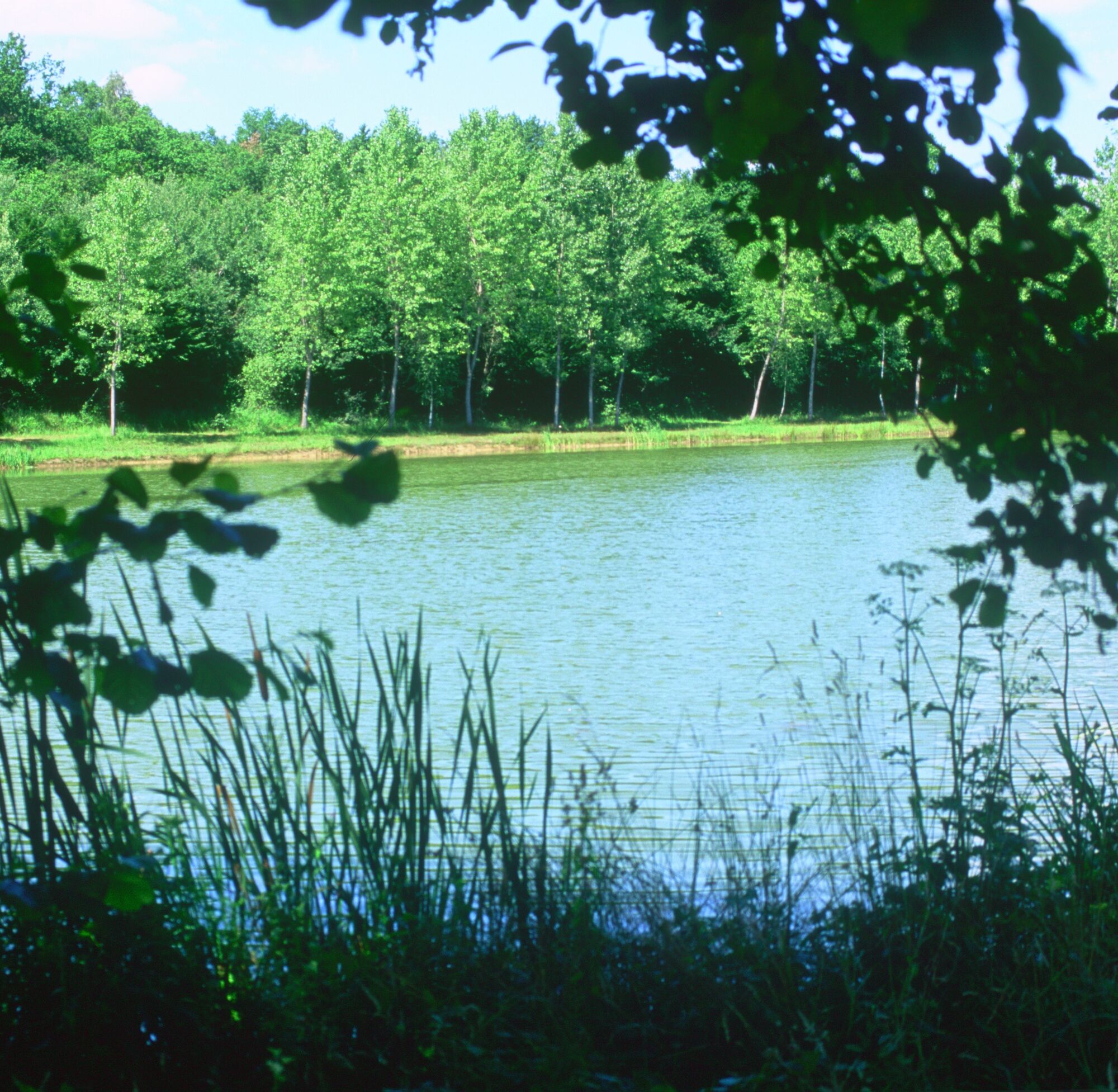
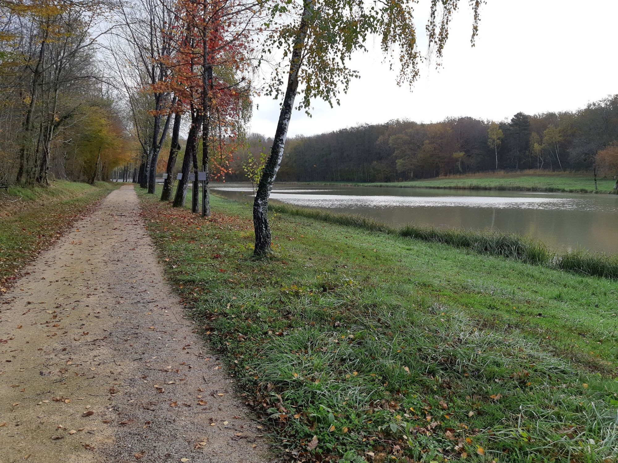
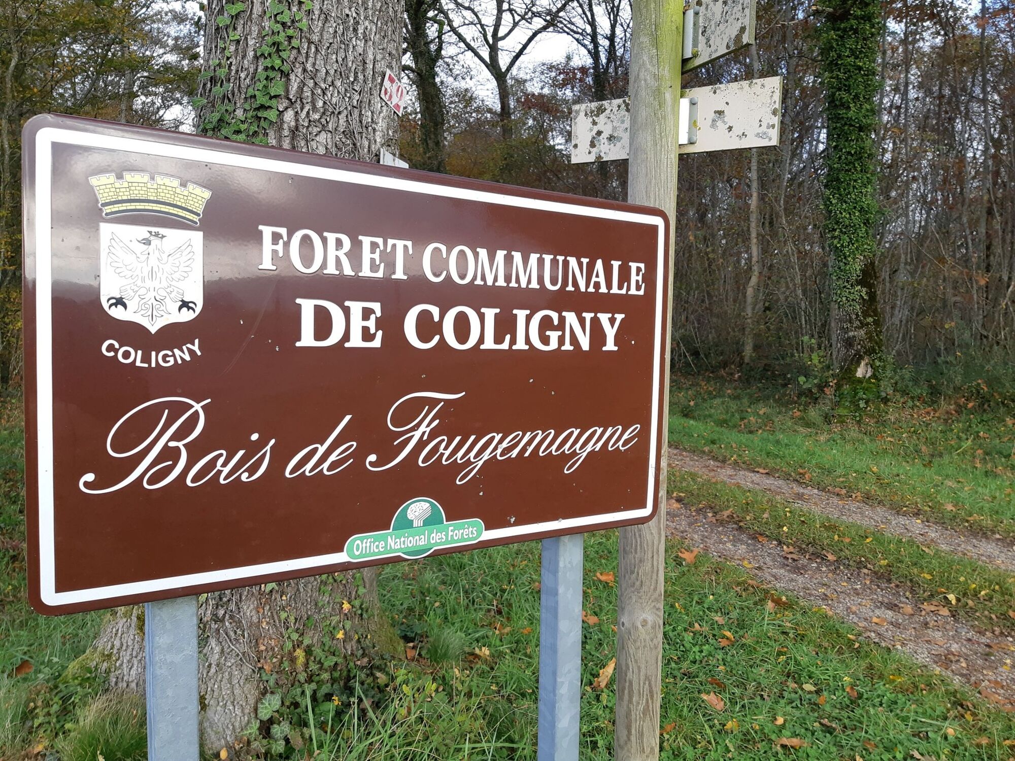
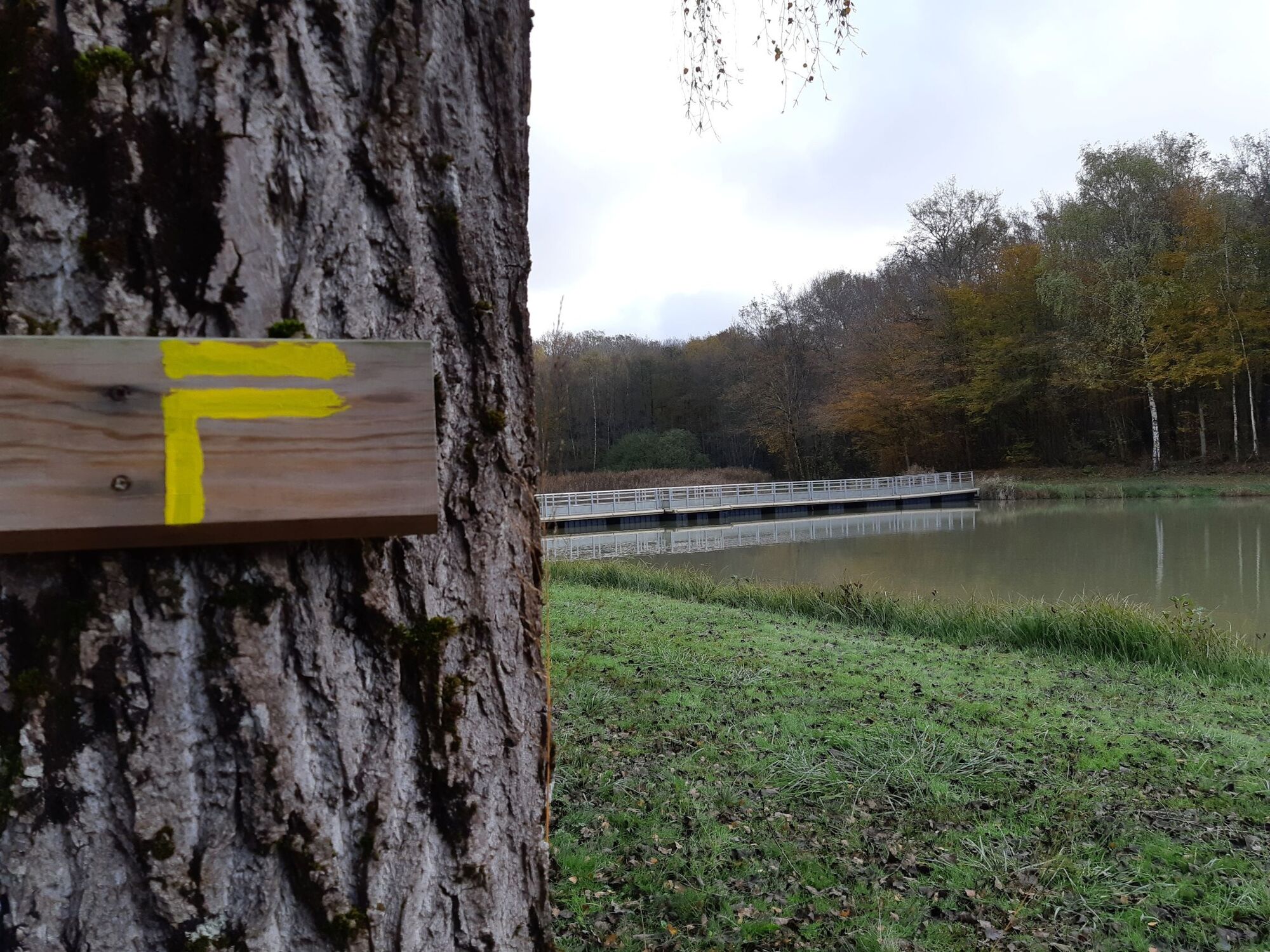
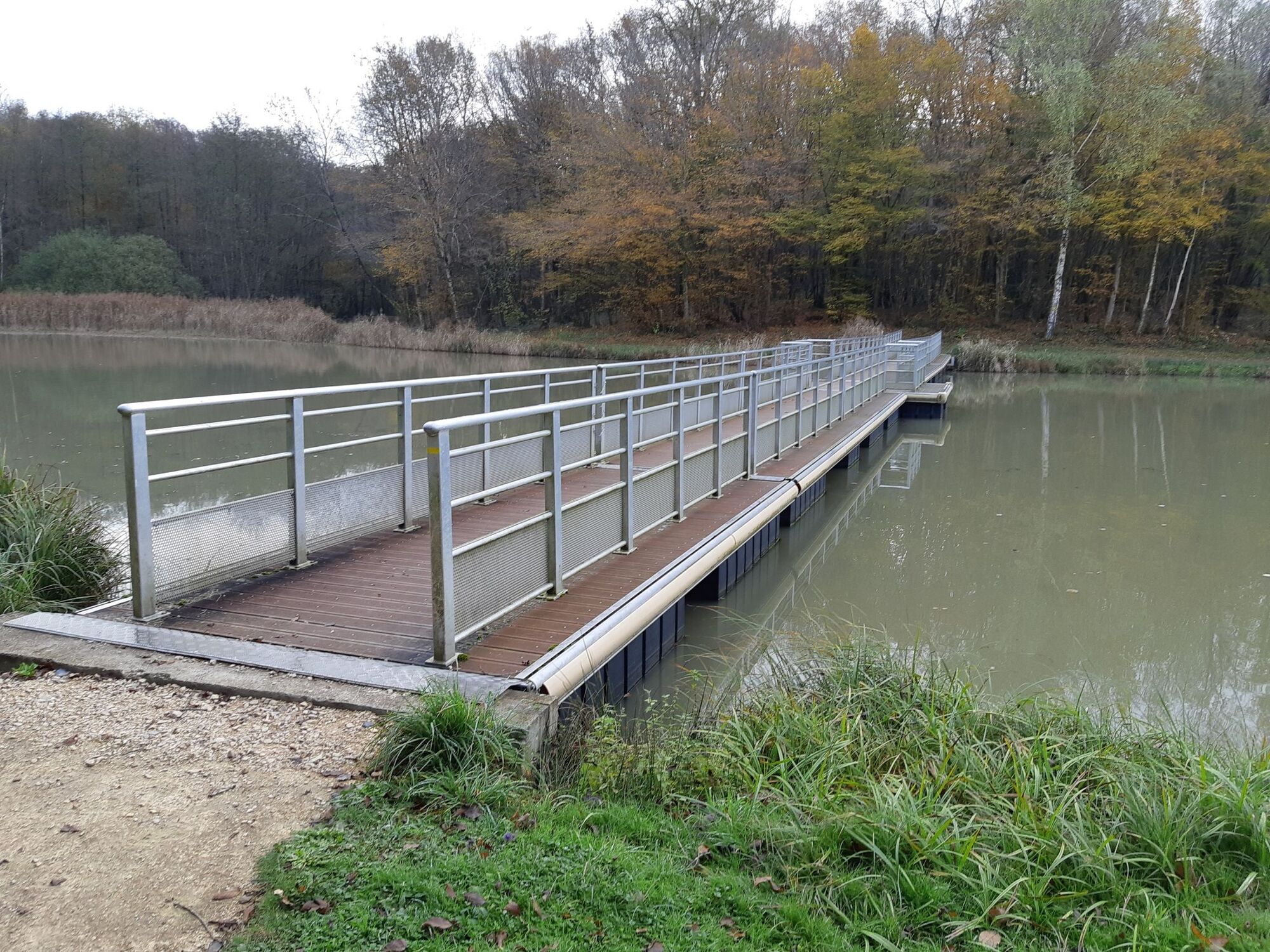
From the foot of the Revermont, go on the Bresse paths to discover the Fougemagne pond blocked in its forest.
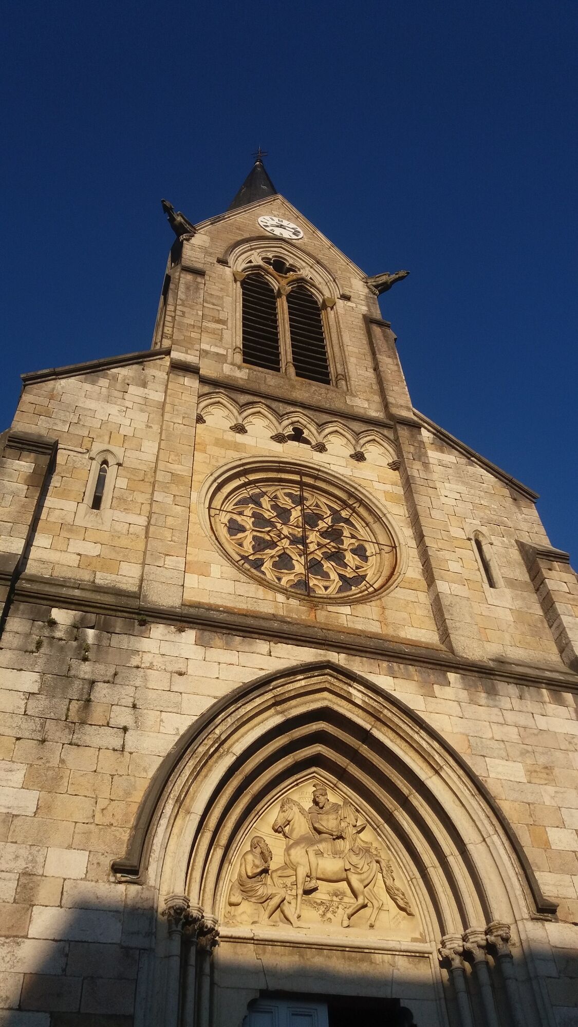
From the ancient city of Coligny, you will dive into a panorama up to the borders of Maconnais where the hamlets of Bresse emerge here and there. - Moeilijkheid
-
gemakkelijk
- Waardering
-
- Route
-
Coligny0,0 kmEstomet2,9 kmBavière3,0 kmLes Marcs5,9 kmLe Chêne6,7 kmLes Bocquillots7,0 kmTrevet10,3 kmChampel11,6 kmColigny11,8 km
- Beste seizoen
-
janfebmrtaprmeijunjulaugsepoktnovdec
- Maximale hoogte
- 294 m
- Bestemming
-
Mairie de Coligny
- Hoogteprofiel
-
 © outdooractive.com

-

-
AuteurDe rondleiding Pond of Fougemagne wordt gebruikt door outdooractive.com op.
GPS Downloads


Algemene info
Flora
Fauna
Veelbelovend
Meer rondleidingen in de regio's
-
Ain
438
-
Porte du Jura
114