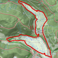
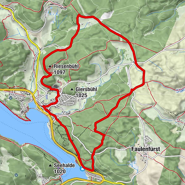
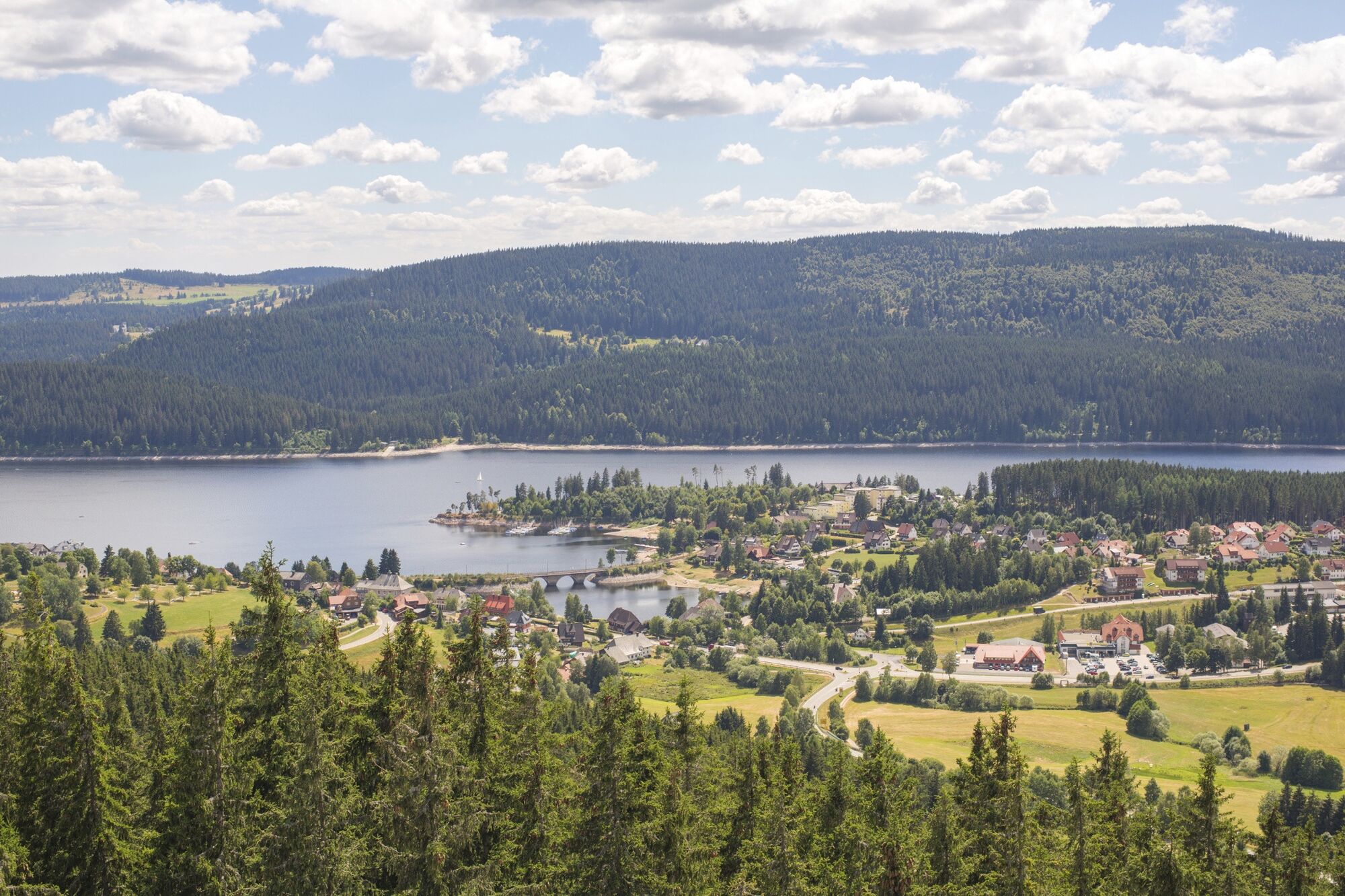
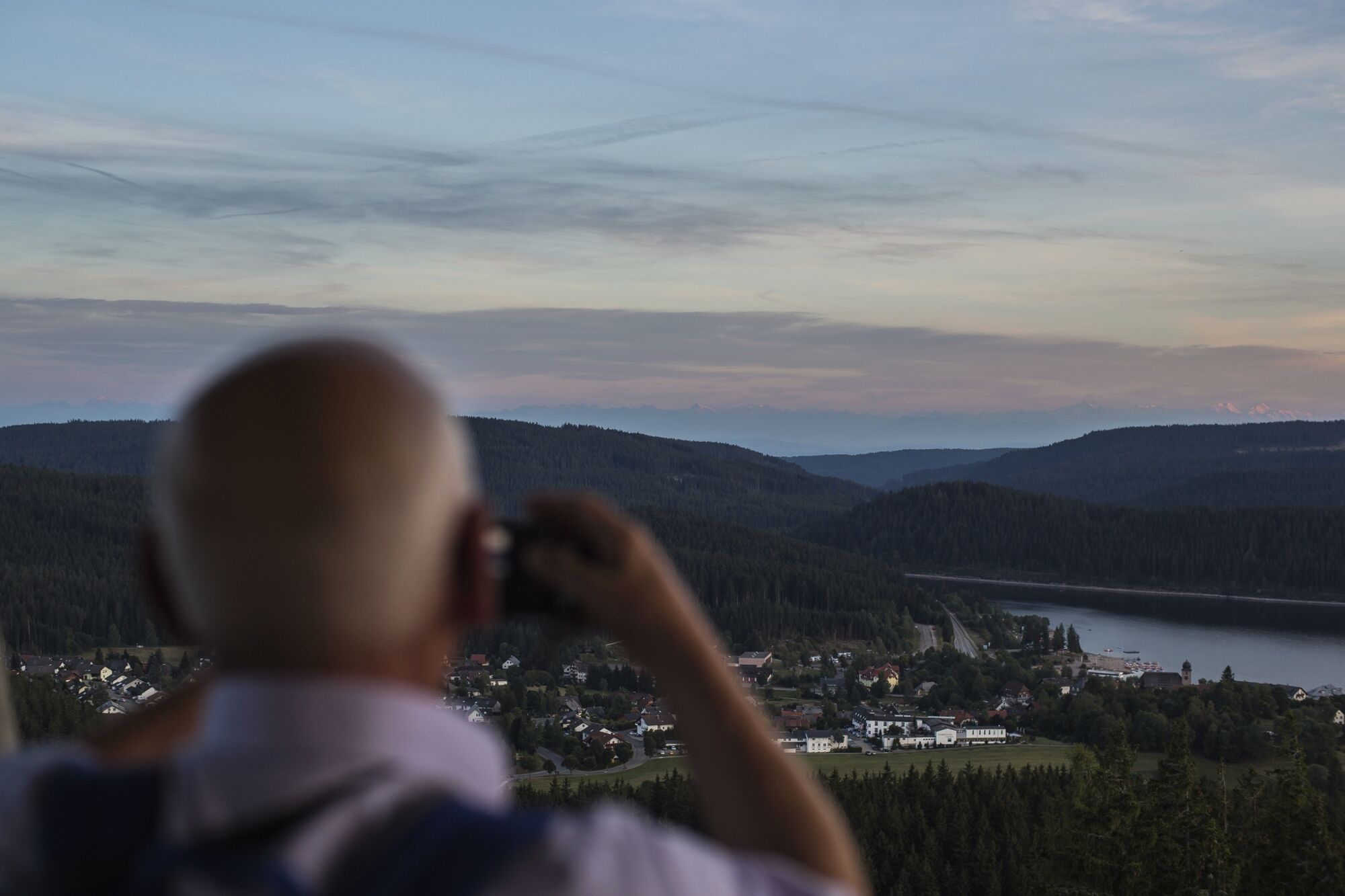
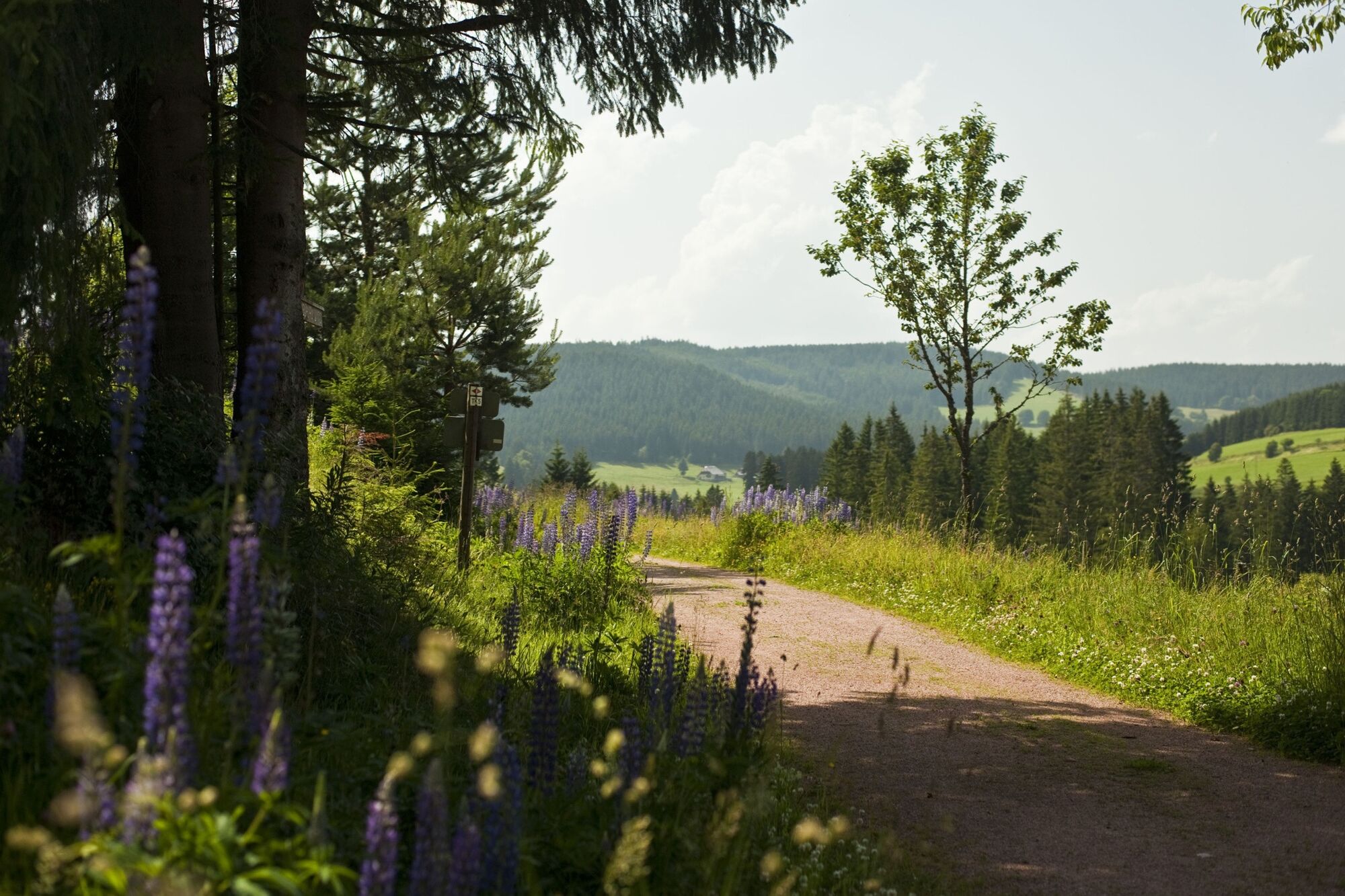
High altitude climate trail Schluchsee "Riesenbühlsteig"

Themapad

© Hochschwarzwald Tourismus GmbH

© Hochschwarzwald Tourismus GmbH

© Hochschwarzwald Tourismus GmbH
- Korte beschrijving
-
Exciting circular tour through the forests, fields and meadows above the Schluchsee with a magnificent view from the "Riesenbühl" observation tower.
- Moeilijkheid
-
medium
- Waardering
-
- Route
-
Schluchsee (952 m)0,0 kmSeebrugg2,1 kmSeebrugg2,4 kmWaldhöfe8,6 kmSchluchsee (952 m)12,9 km
- Beste seizoen
-
janfebmrtaprmeijunjulaugsepoktnovdec
- Maximale hoogte
- 1.104 m
- Bestemming
-
Kurhaus Schluchsee, Fischbacher Straße 7, 79859 Schluchsee
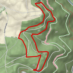
- Hoogteprofiel
-
 © outdooractive.com
- Auteur
-
De rondleiding High altitude climate trail Schluchsee "Riesenbühlsteig" wordt gebruikt door outdooractive.com op.
GPS Downloads


Algemene info
Helende klimaat
Veelbelovend
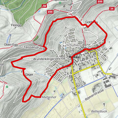
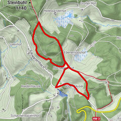
Meer rondleidingen in de regio's
-
Schwarzwald
1858
-
Hochschwarzwald
1180
-
Schluchsee
390