

© www.regiongemer.sk - Radka Čabrádiová Tvrdoňová

© OOCR Gemer - Viktor Brádňanský
Toerdatums
2,97km
249
- 421m
218hm
52hm
01:04h
- Korte beschrijving
-
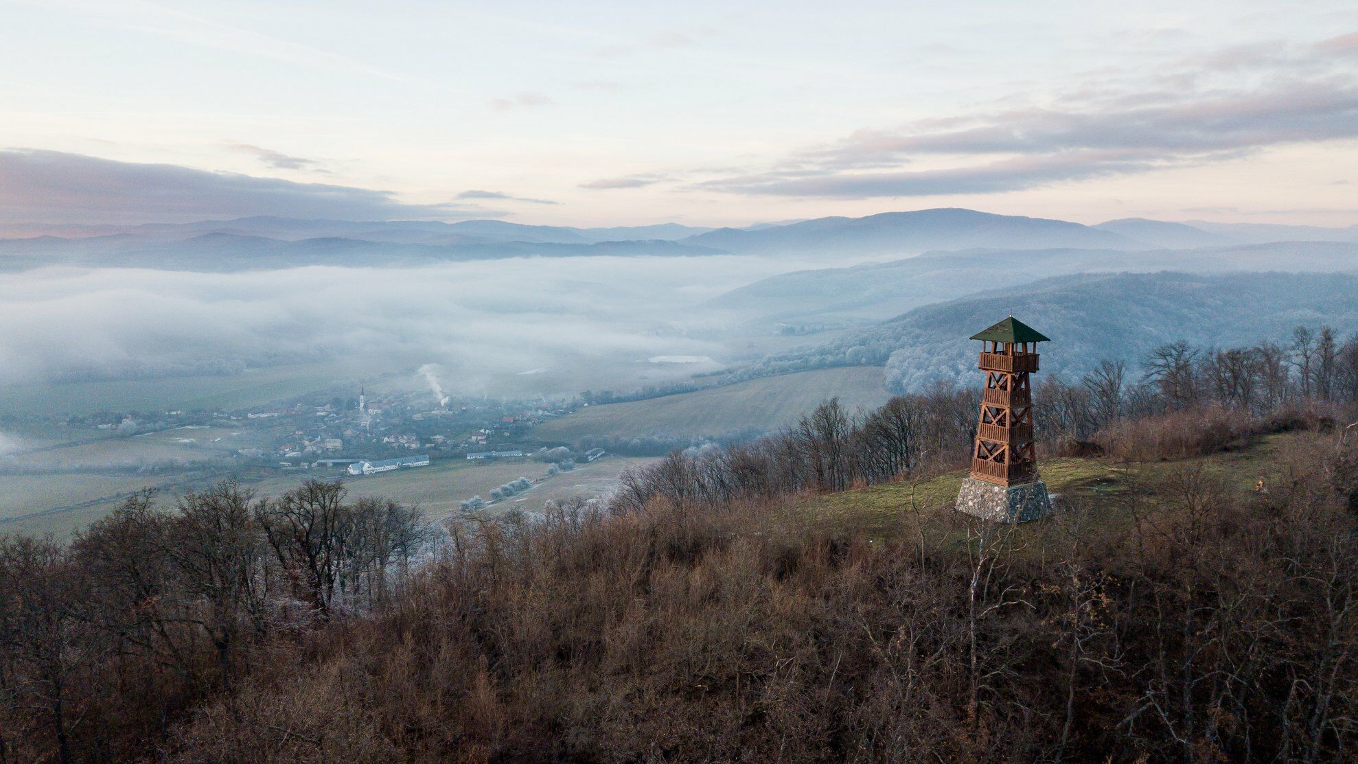
The 17m-high lookout tower with magnificent views of the surroundings stands above the village of Nižný Skálnik (in the grounds of a medieval castle, shrouded in legends).
- Route
-
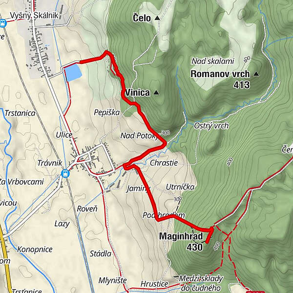
Nižný Skálnik (248 m)1,6 kmUtrnička1,9 kmStudnička Magine slzy2,2 kmPod hradom2,3 kmMaginhrad (430 m)2,9 kmRozhľadňa Maginhrad (429 m)2,9 km
- Beste seizoen
-
janfebmrtaprmeijunjulaugsepoktnovdec
- Maximale hoogte
- 421 m
- Bestemming
-
Maginhrad
- Hoogteprofiel
-
 © outdooractive.com
- Auteur
-
De rondleiding In the footsteps of Maginhrad wordt gebruikt door outdooractive.com op.
GPS Downloads


Algemene info
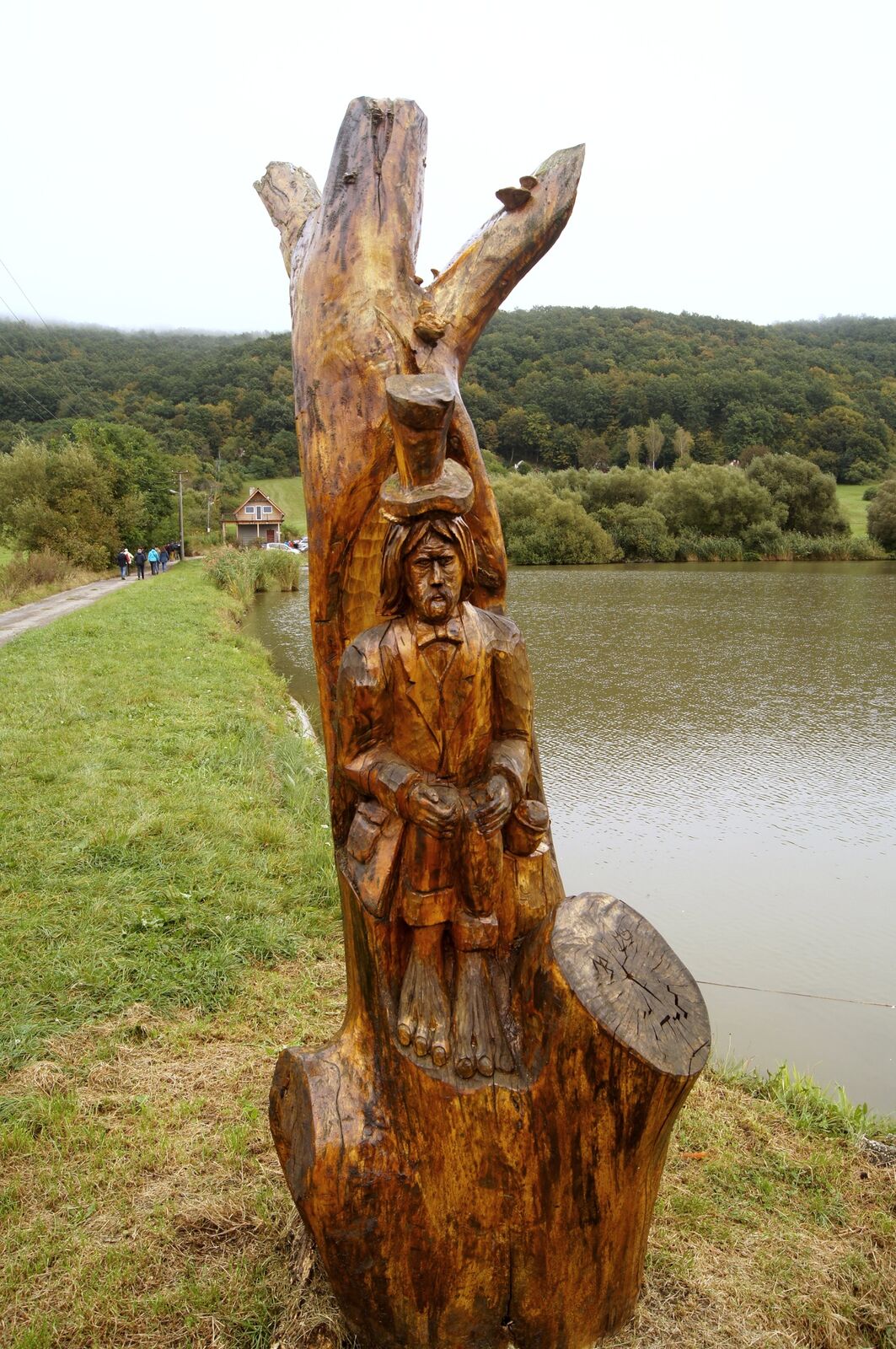
Cultureel/Historisch
Flora
Fauna
Veelbelovend