From Oberstdorf to Warth with the mountainbike


- Korte beschrijving
-
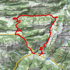
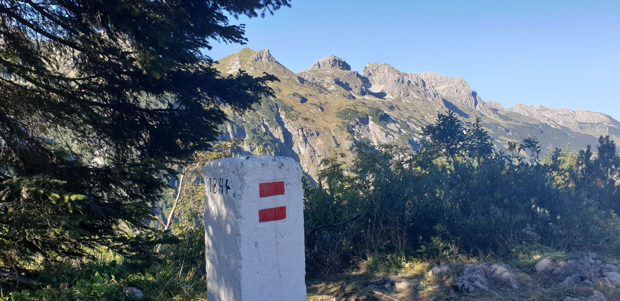
From the train station in Oberstdorf you ride mainly on asphalt and shortly on gravel to the storage hut. The path climbs steadily, short sections are very steep, sometimes forcing you to push. From the storage hut onward, most of the pushing has to be done. One crosses a small stream (Haldenwanger Bach) and is at the entrance to the Schrofenpass. Over the narrow mule track to the top of the pass, the bike must be pushed to the left (valley side) or be worn on the left shoulder. With the right hand you have to hold on to the safety rope in some places. The Schrofenpass used to be a wide path, but in the 2nd world war it became more difficult, because it was destroyed. The border between Germany and Austria lies at the pass height of 1,688 m. From here you can see the green roof of the Mindelheimer Hütte on the opposite side of the mountain. Now you go downhill on a path, which is only partially passable, to Lechleiten. From here you continue on asphalt via Warth.
- Moeilijkheid
-
zwaar
- Waardering
-
- Route
-
Oberstdorf (813 m)St. Johannes Baptist0,2 kmSeelenkapelle0,2 kmMegèver Platz0,3 kmAppachkapelle1,5 kmKapelle Maria Loretto1,5 kmJosefskapelle1,5 kmKapelle St. Wendel6,1 kmAnatswald8,0 kmBirgsau9,0 kmAlpe Eschbach9,4 kmAlpe Eschbach9,6 kmGehren23,1 kmWarth (1.495 m)24,5 km
- Beste seizoen
-
janfebmrtaprmeijunjulaugsepoktnovdec
- Maximale hoogte
- 1.686 m
- Bestemming
-
Warth
- Hoogteprofiel
-
 © outdooractive.com
-

-
AuteurDe rondleiding From Oberstdorf to Warth with the mountainbike wordt gebruikt door outdooractive.com op.