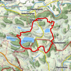
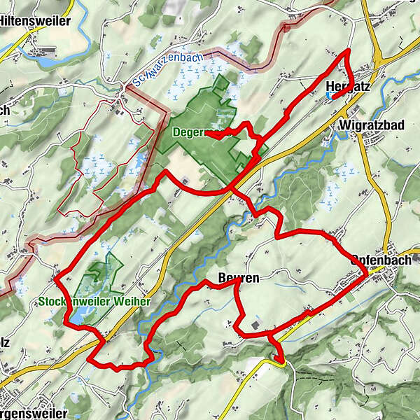
In the Leiblach valley: hiking through the mossland of the Degermoos to the pond Stockenweiler Weiher - Western Allgaeu waterway 25

Wandelen


")
- Korte beschrijving
-
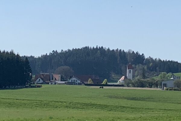
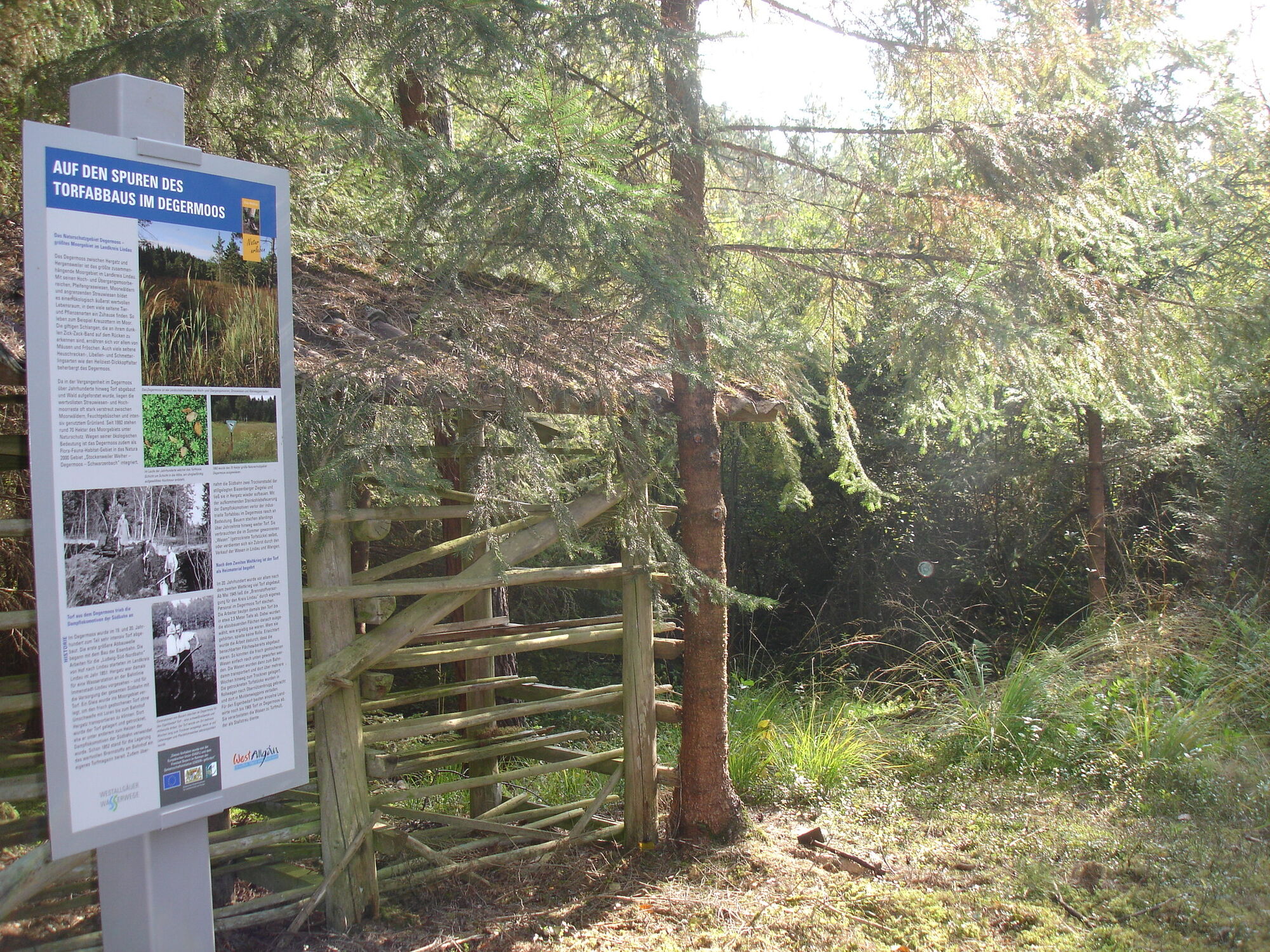
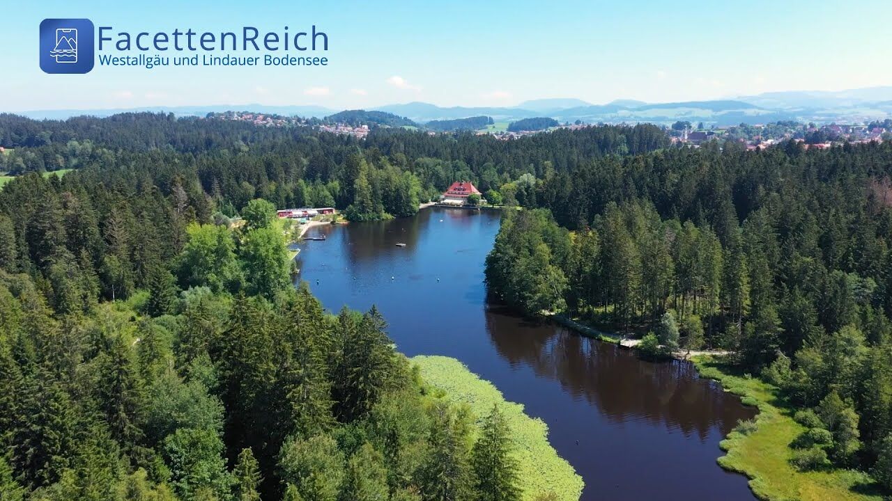
Two of the most attractive natural beauties of the Western Allgaeu can be seen at this tranquil half a day hike around Hergatz and Hegensweiler and Opfenbach: the two nature reserves Degermoos and Stockenweiler Weiher enjoy the highest level of protection nowadays. Previously, however, they have been used for peat extraction and fish farming.
- Route
-
St. Nikolaus0,1 kmOpfenbach0,1 kmGöritz0,5 kmObernützenbrugg2,4 kmHergatz7,2 kmHergatz (555 m)7,4 kmObernützenbrugg10,7 kmDegermoos11,2 kmVolklings13,5 kmStockenweiler14,8 kmGasthaus Kreuz17,9 kmBeuren18,0 kmRuhlands20,5 kmOpfenbach21,3 km
- Maximale hoogte
- 595 m
- Hoogteprofiel
-
 © outdooractive.com

- Auteur
-
De rondleiding In the Leiblach valley: hiking through the mossland of the Degermoos to the pond Stockenweiler Weiher - Western Allgaeu waterway 25 wordt gebruikt door outdooractive.com op.
GPS Downloads


Algemene info
Cultureel/Historisch
Fauna
Meer rondleidingen in de regio's
-
Bodensee - Deutschland
1105
-
Westallgäu
1263
-
Opfenbach
285