© CC BY-SA 4.0 via Wikimedia Commons - Lubor Ferenc

- Korte beschrijving
-
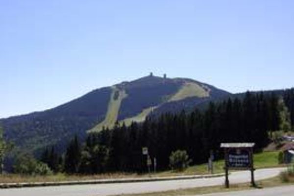
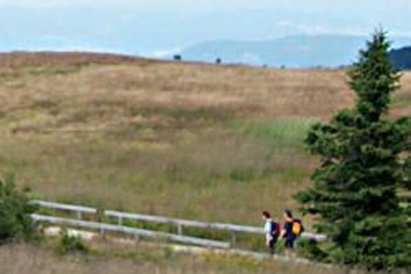
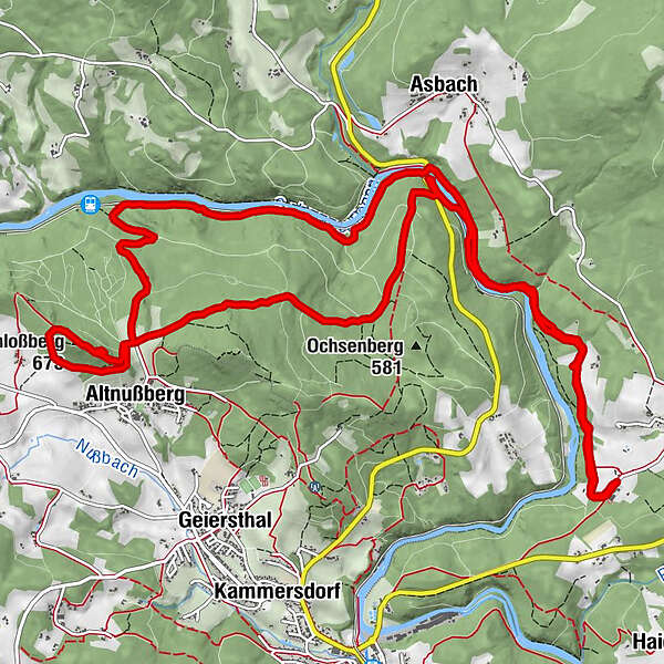
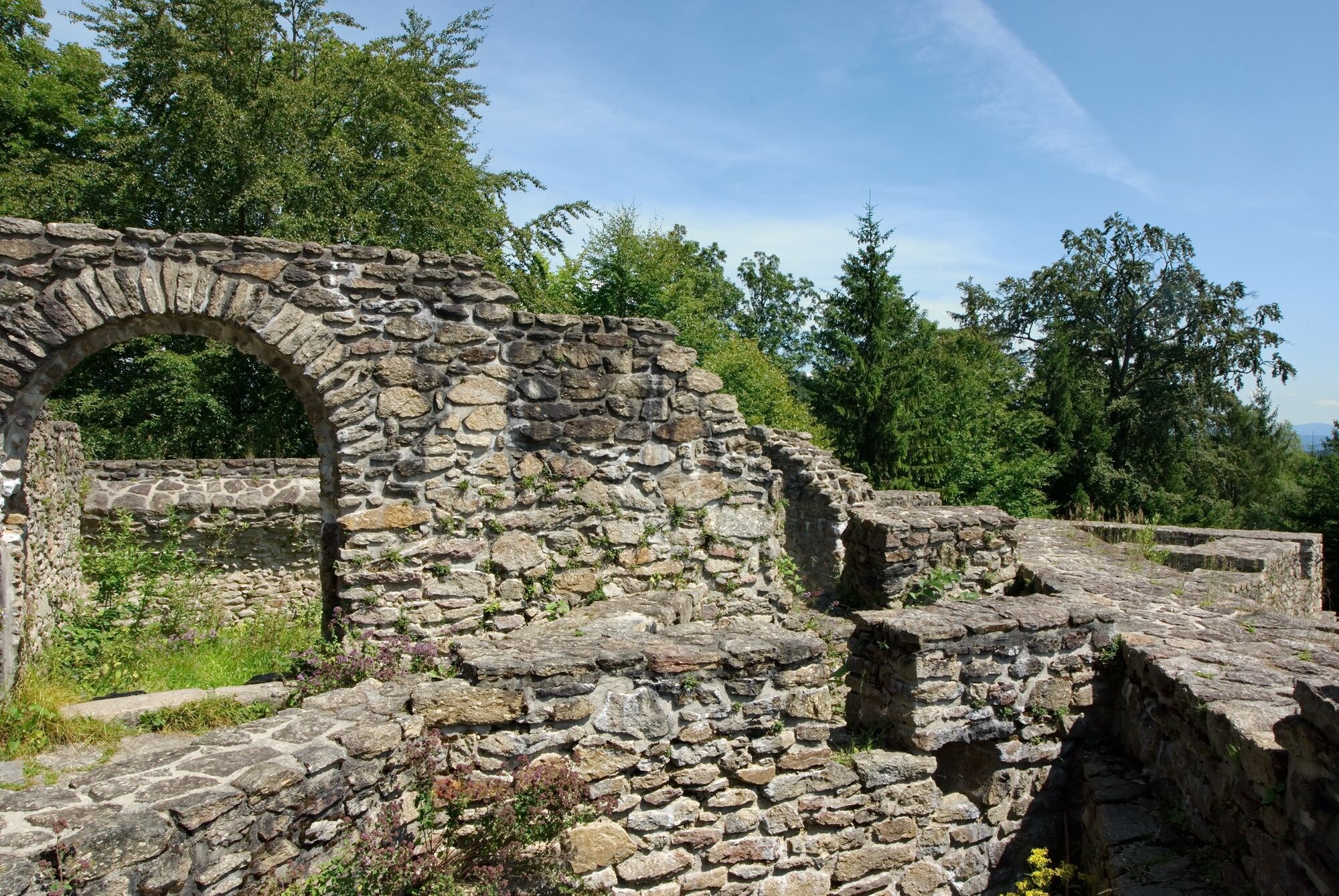
Durch den Bayerischen Wald zu einer mittelalterlichen Aussicht: Ziel dieser Rundwanderung ist die Burgruine Altnußberg.
- Moeilijkheid
-
medium
- Waardering
-
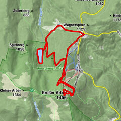
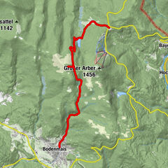
- Route
-
ÖdAltnußberg7,0 kmSchloßberg (673 m)8,1 kmBurgschänke Altnußberg8,2 kmÖd16,7 km
- Maximale hoogte
- 653 m
- Bestemming
-
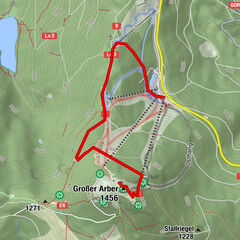
Öd/Böbrach
- Hoogteprofiel
-
 © outdooractive.com
- Auteur
-
De rondleiding Wanderung zur Burgruine Altnußberg wordt gebruikt door outdooractive.com op.
GPS Downloads


Meer rondleidingen in de regio's
-
Arberland
502
-
Geiersthal
210