Toerdatums
11,54km
913
- 1.513m
611hm
613hm
03:56h
- Korte beschrijving
-
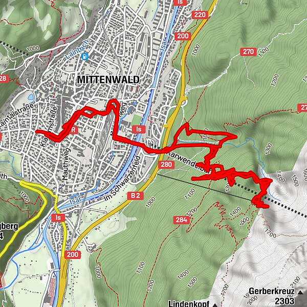
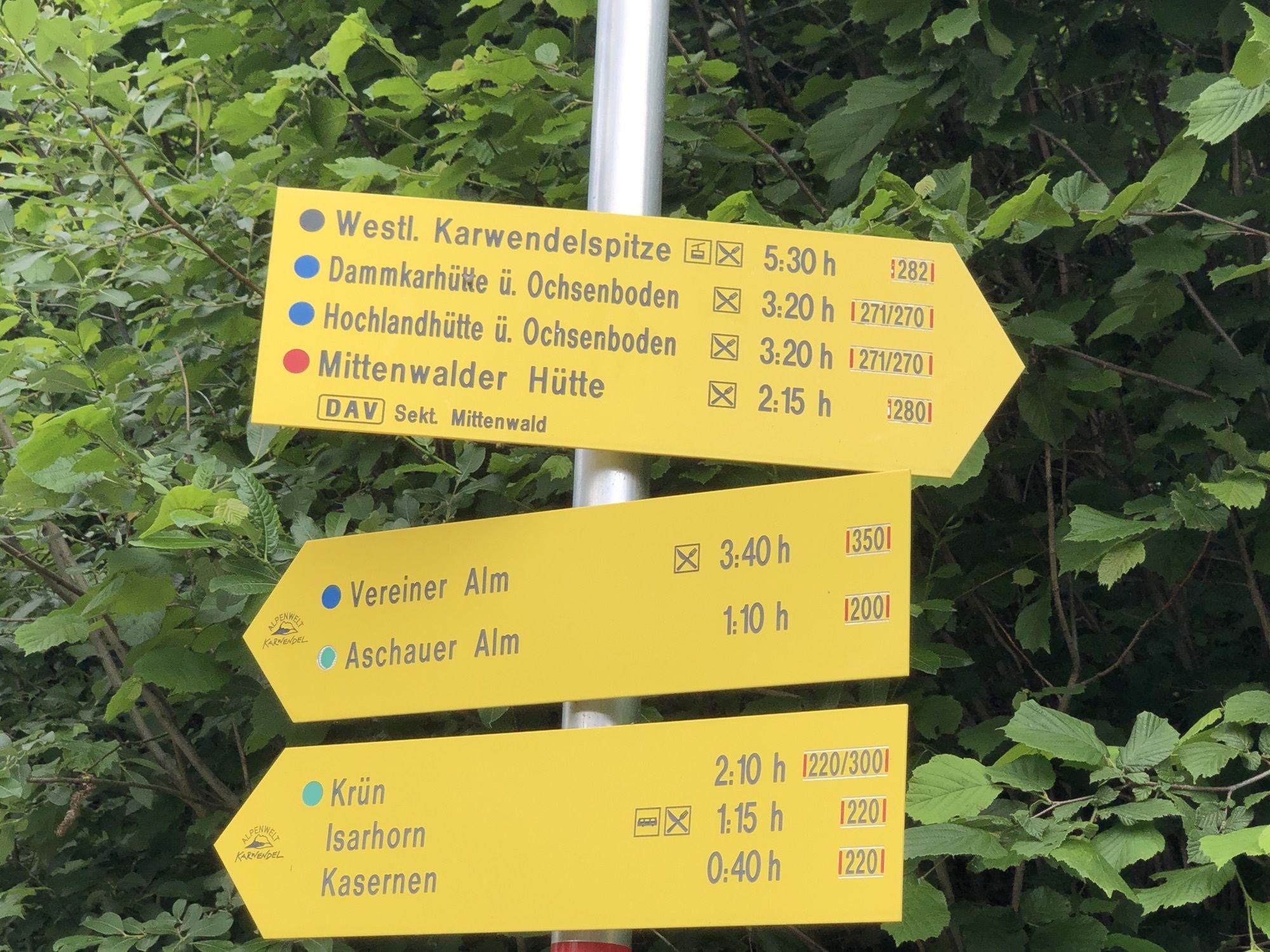
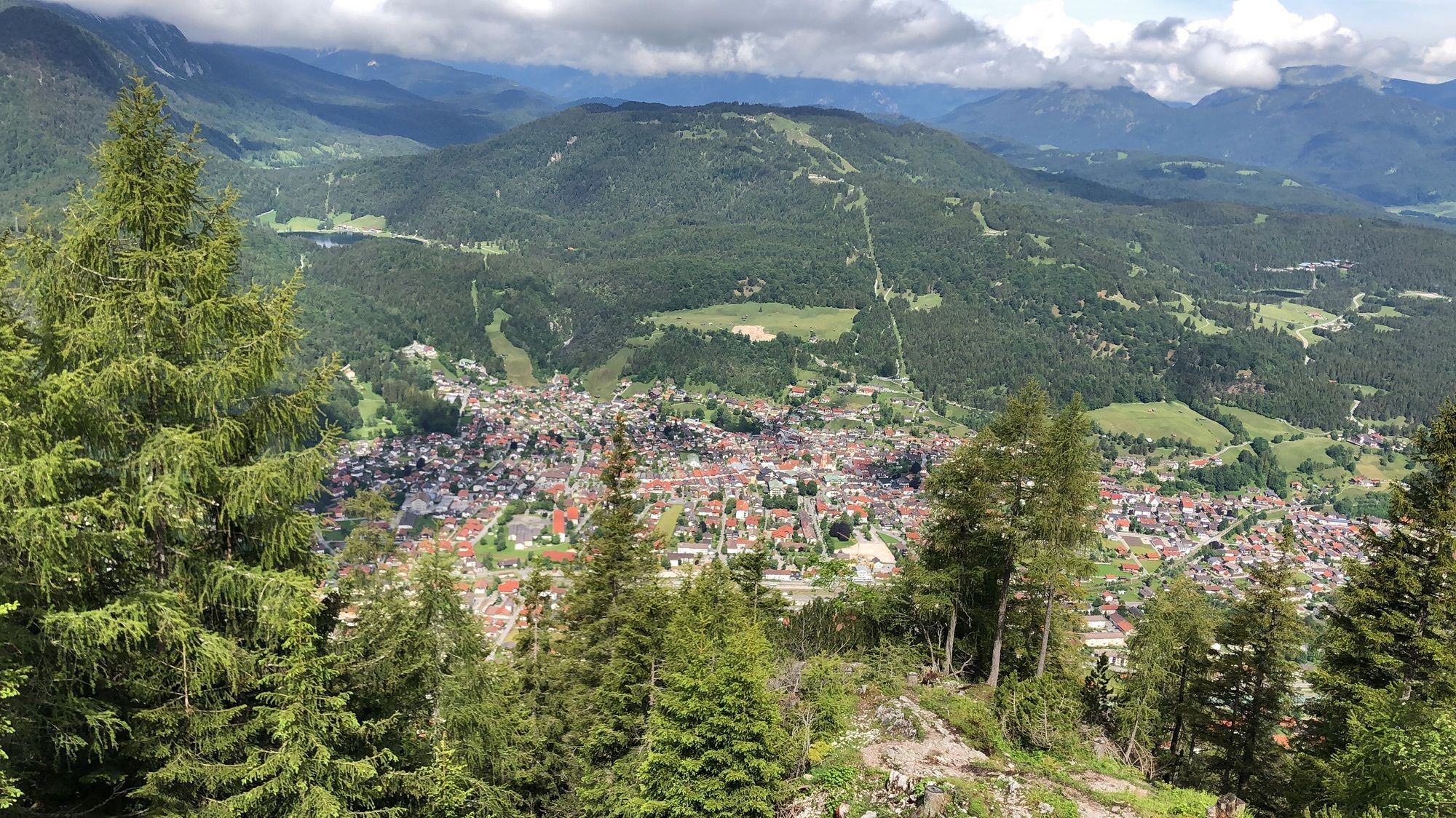
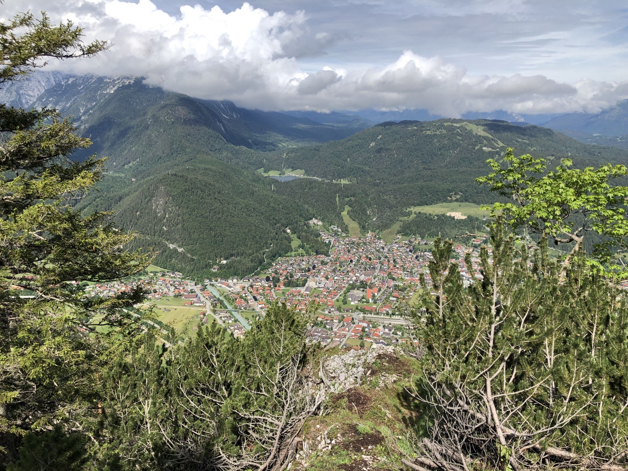
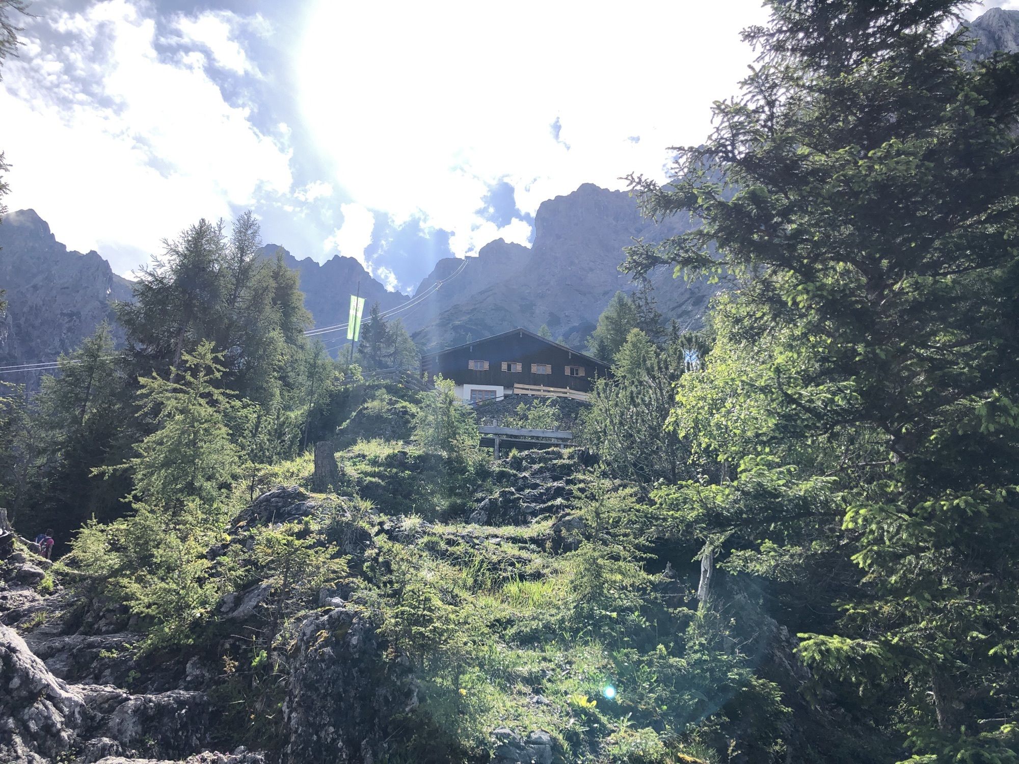
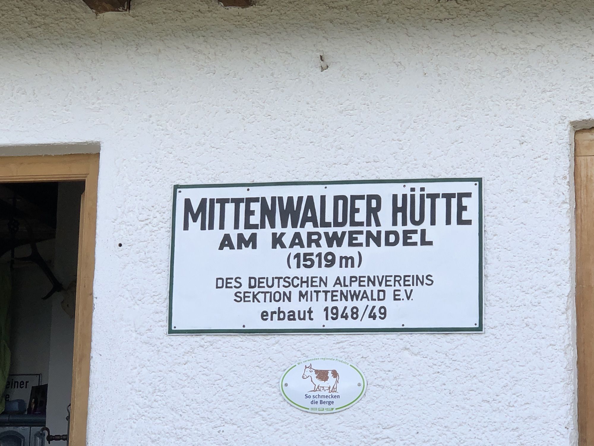
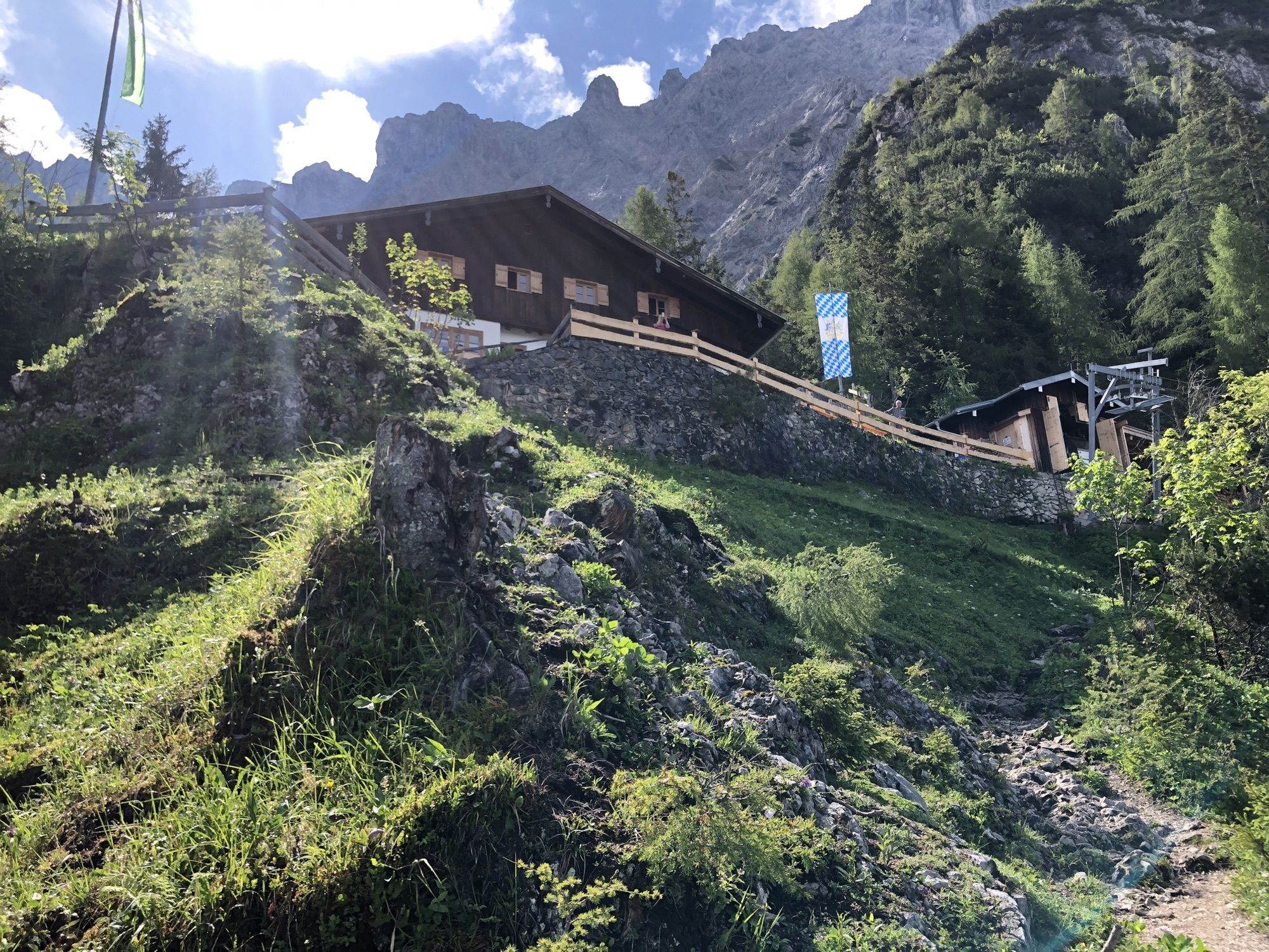
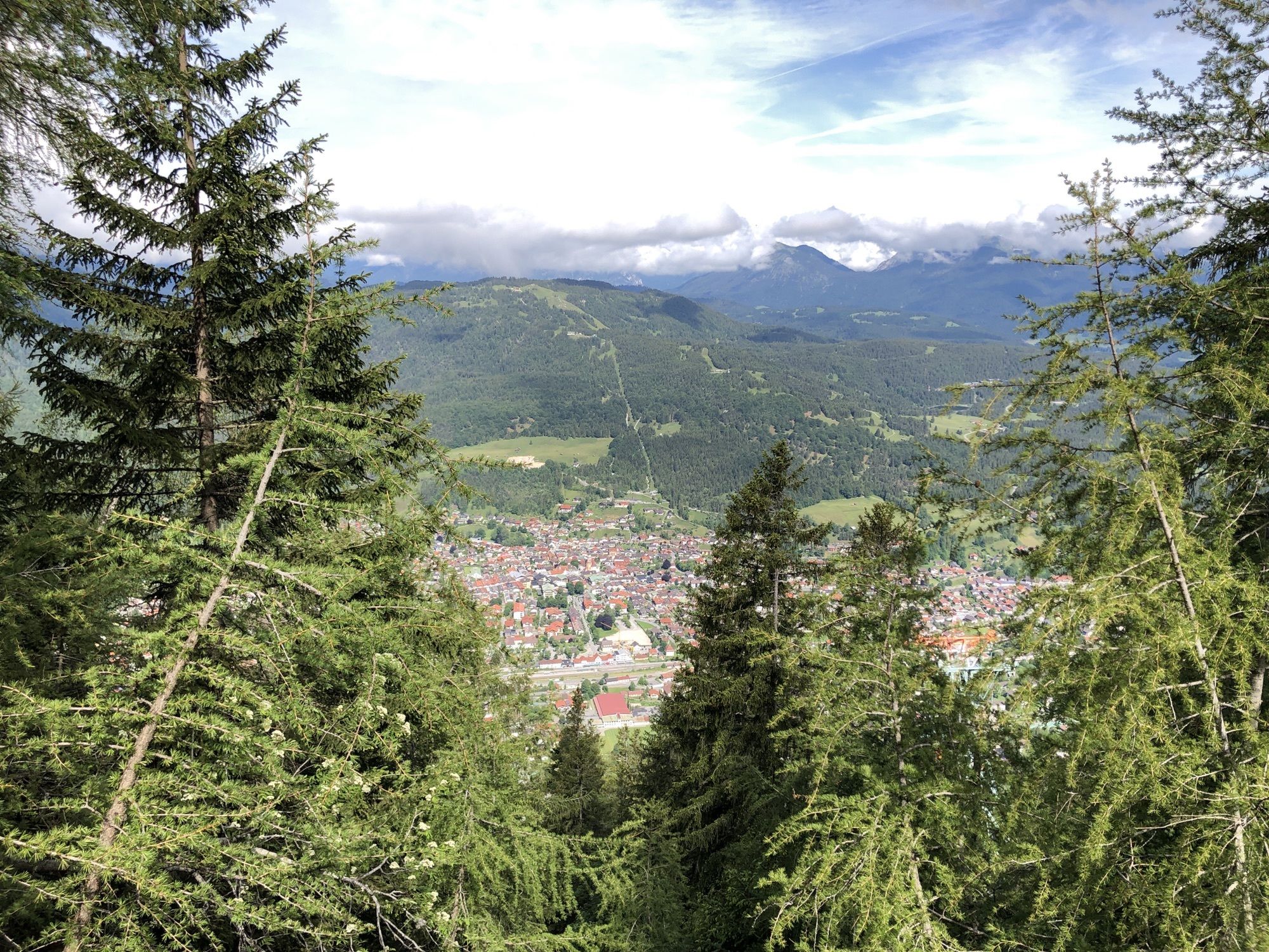
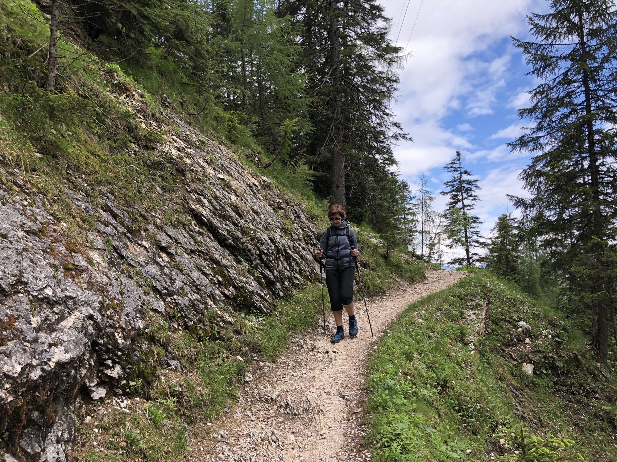
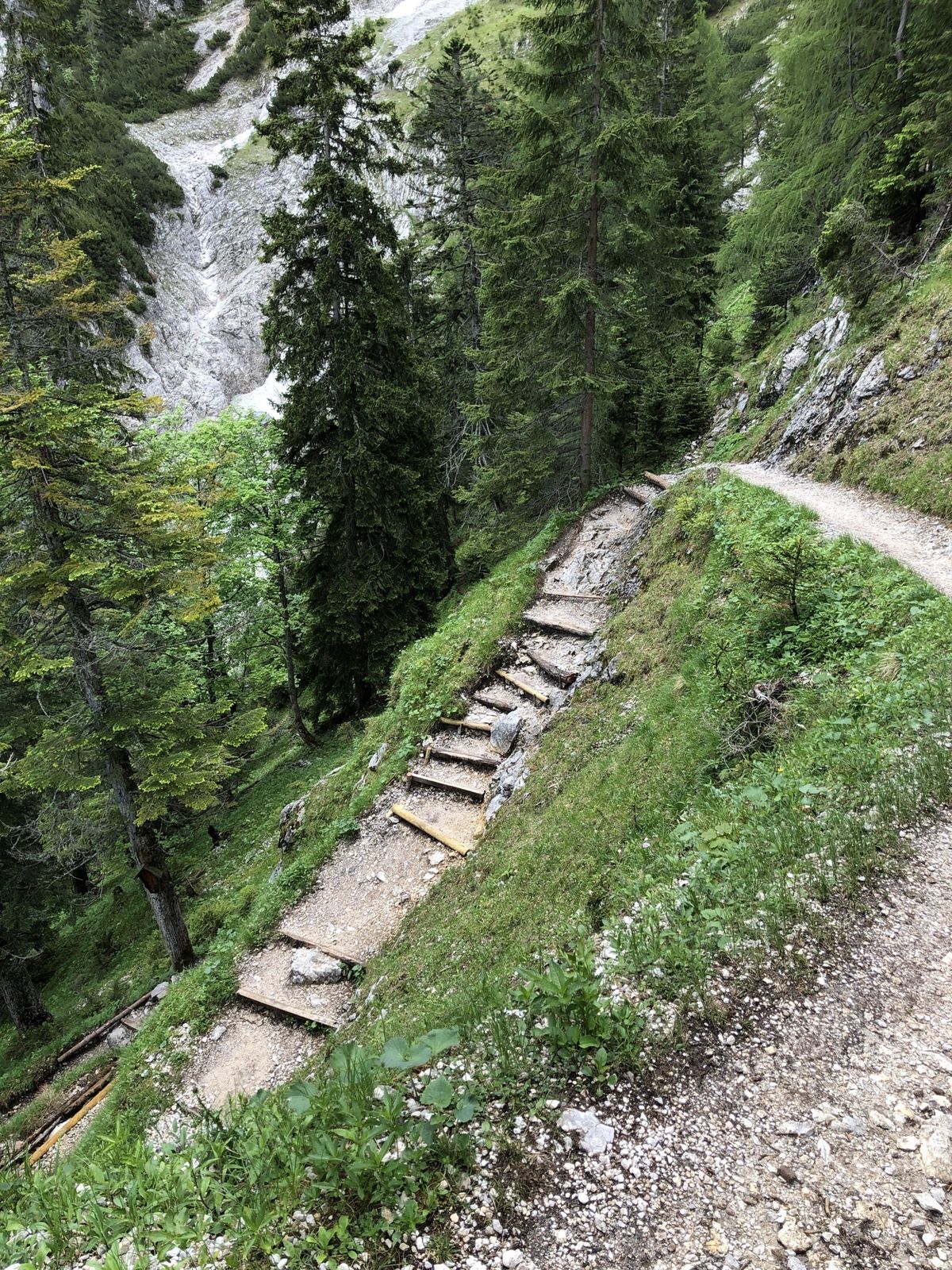
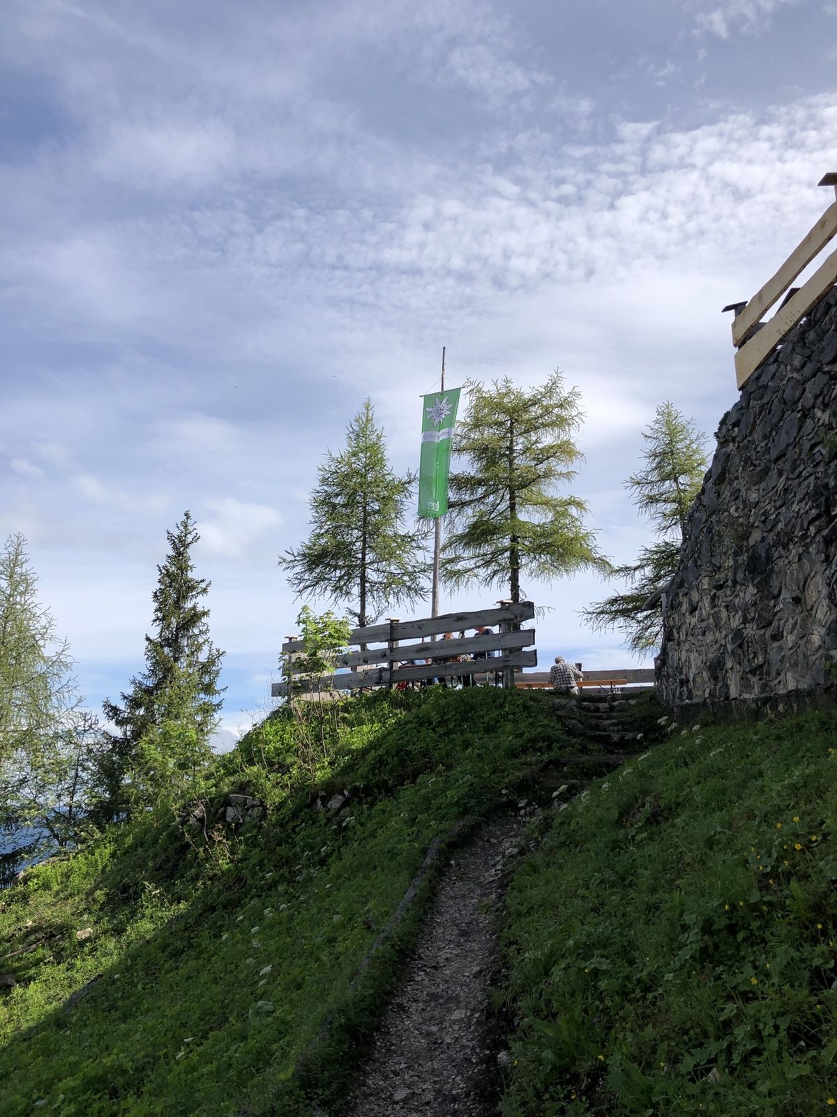
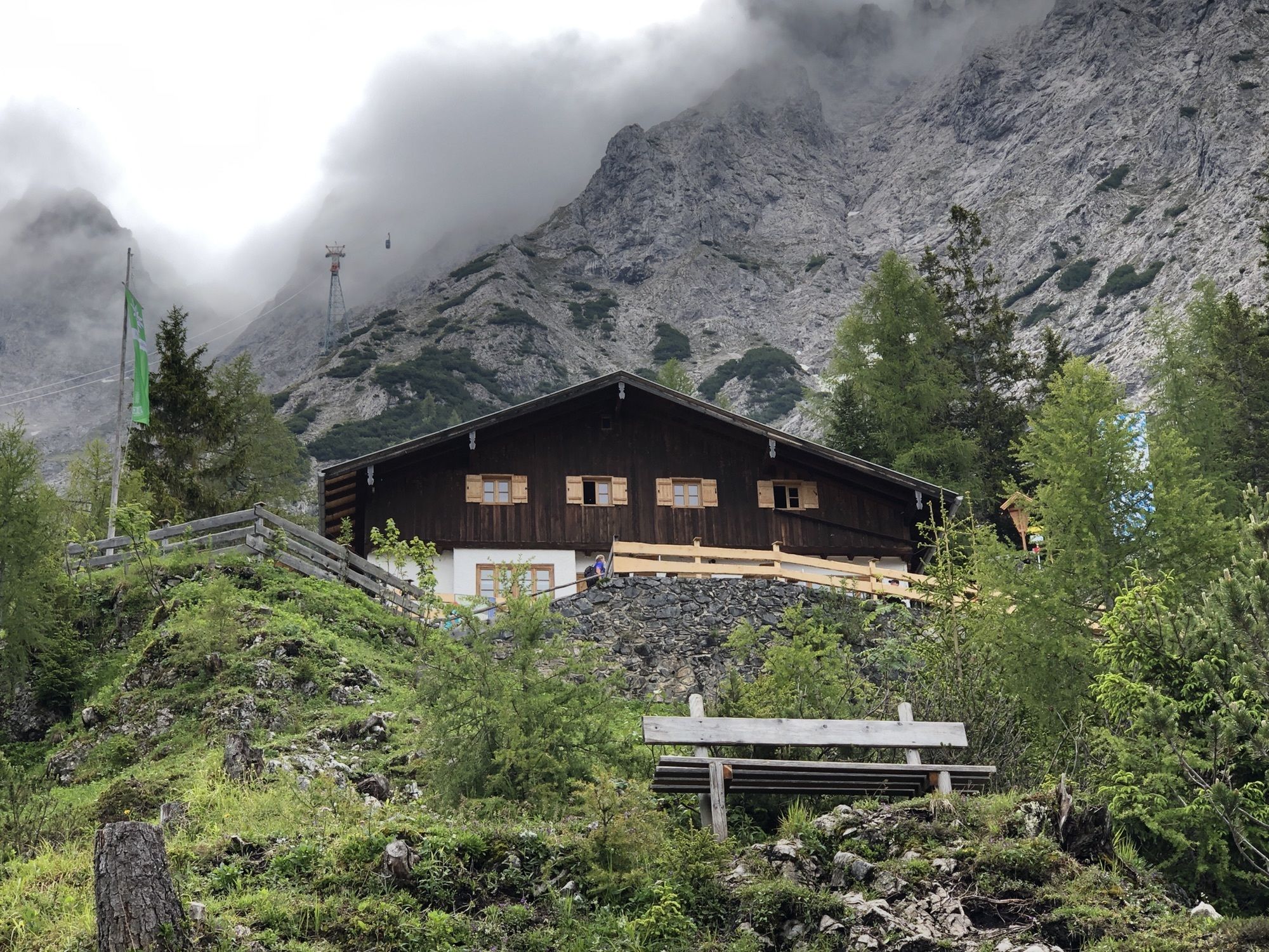
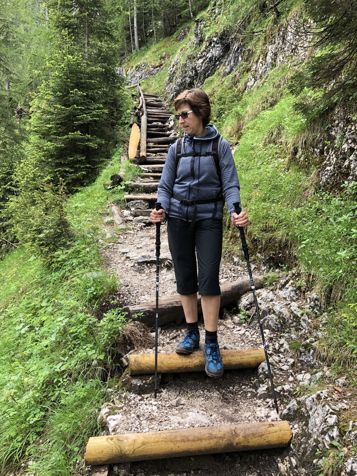
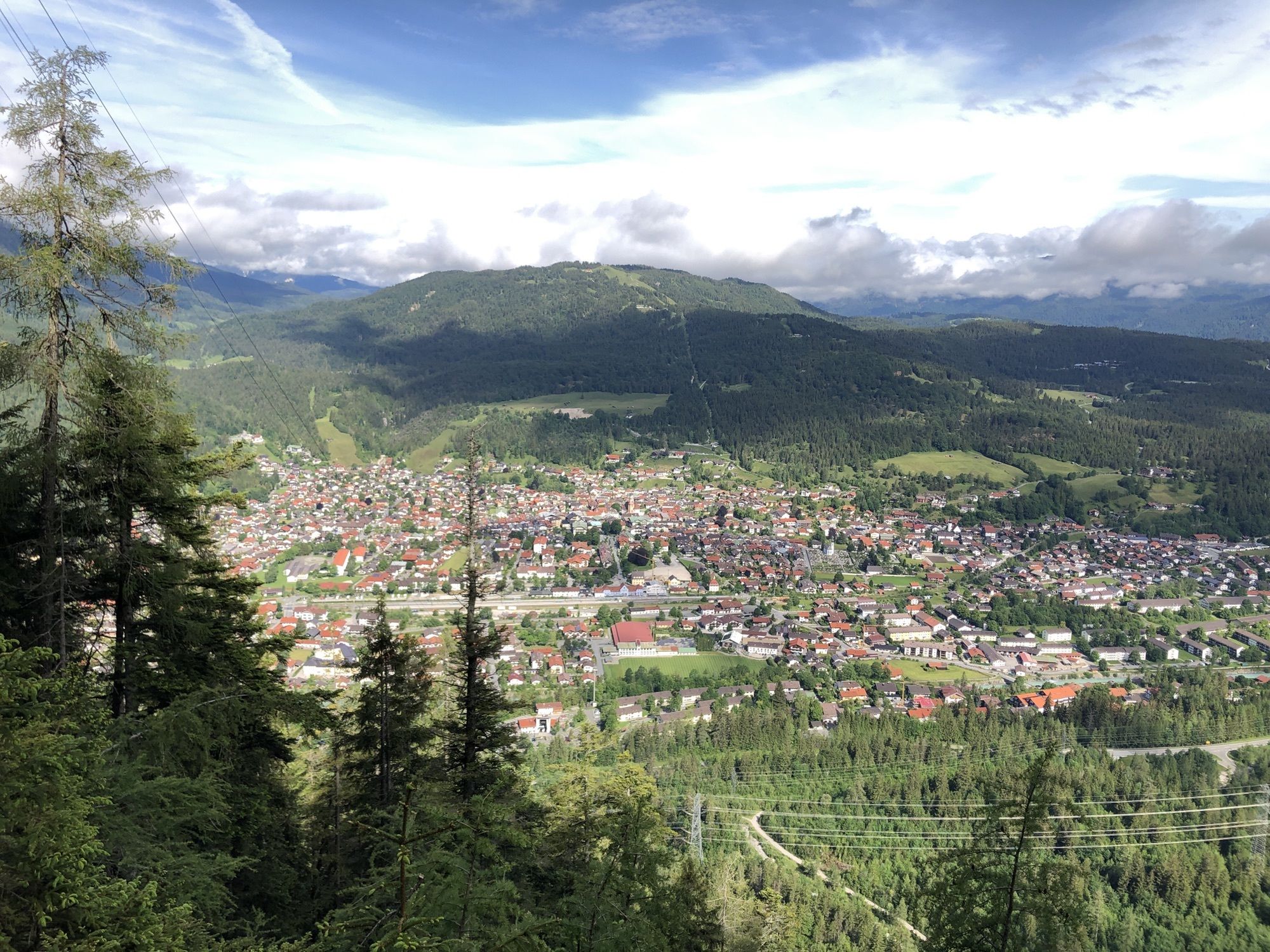
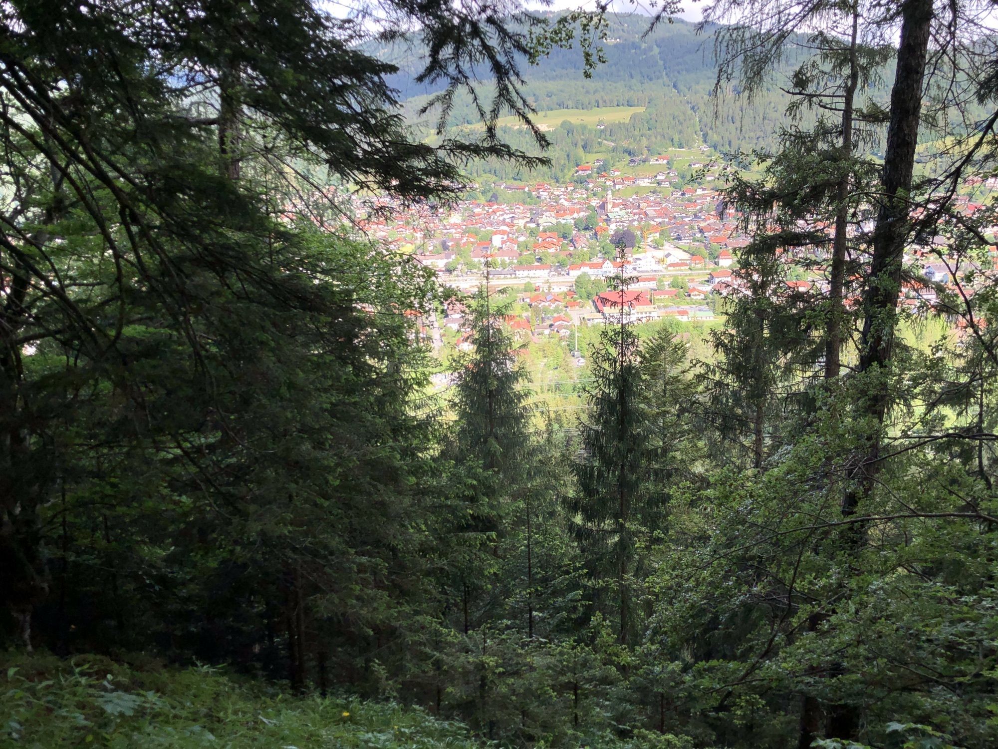
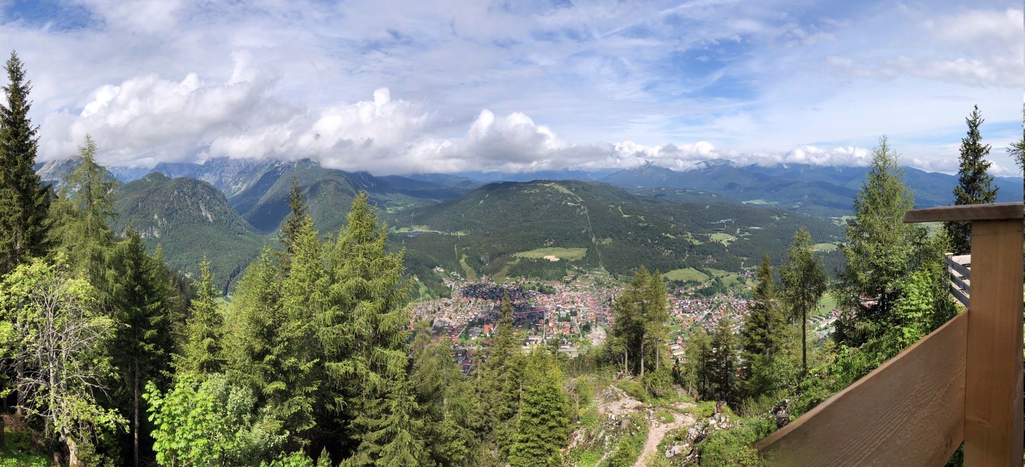
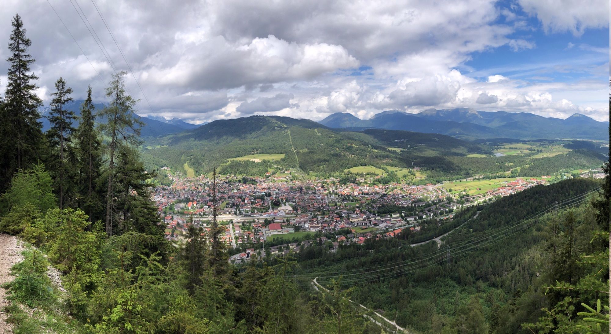
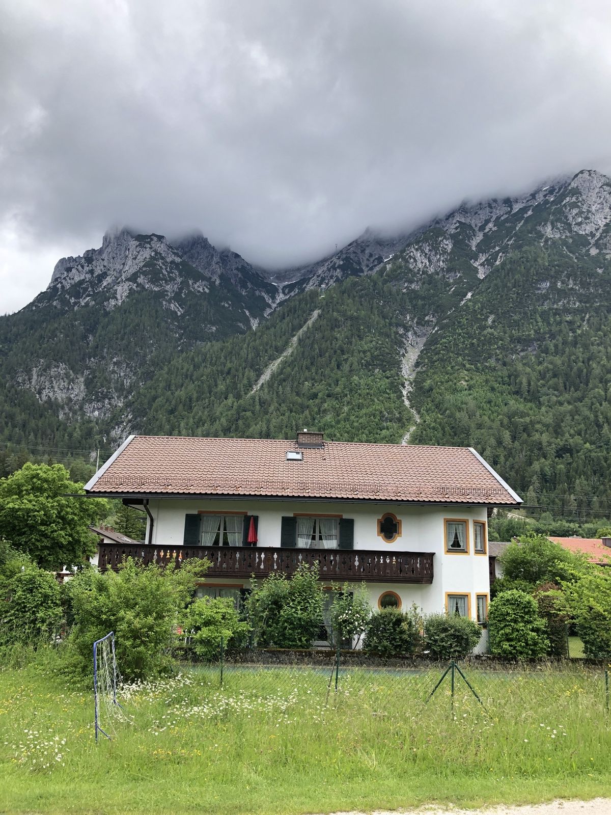
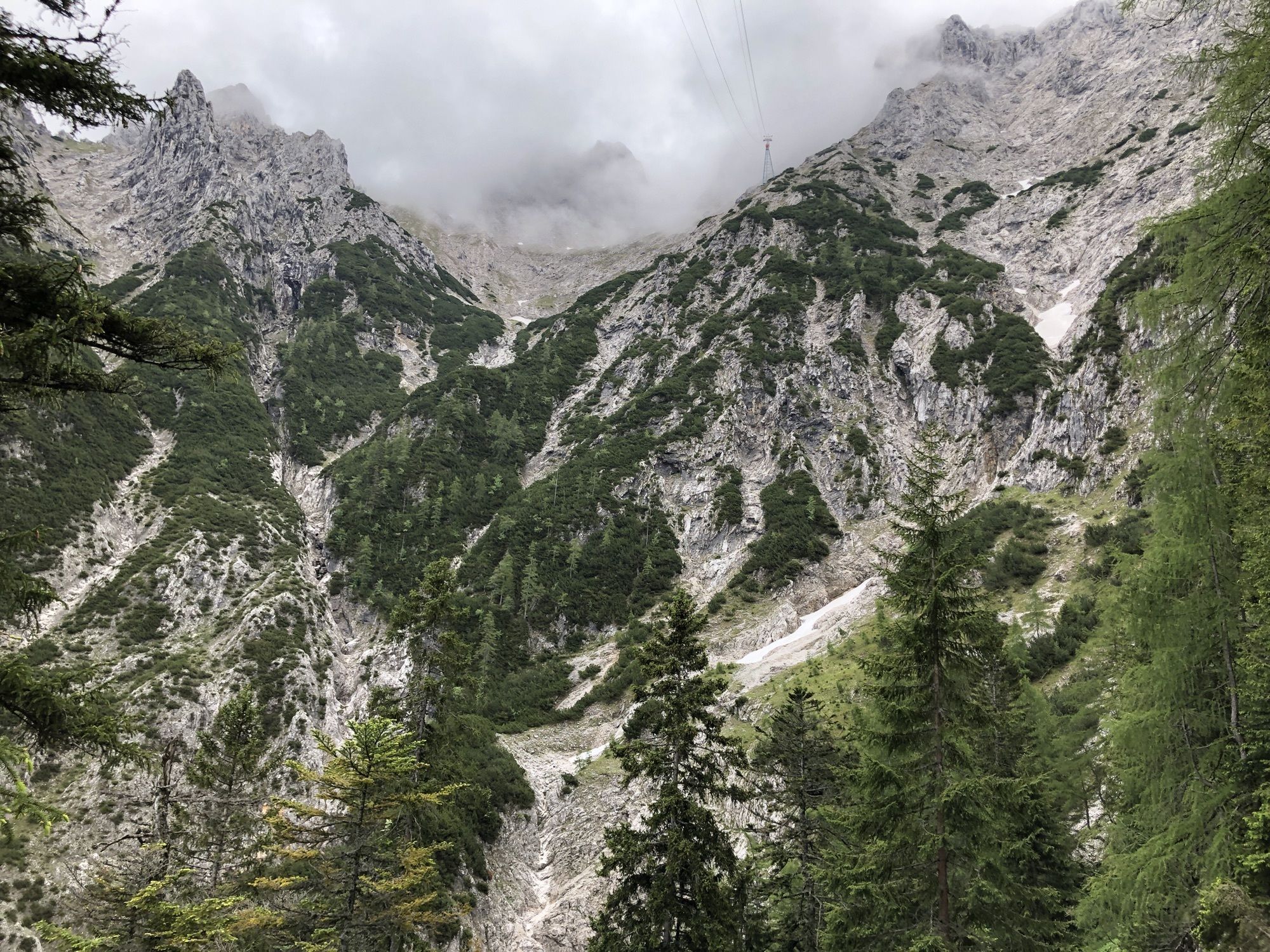
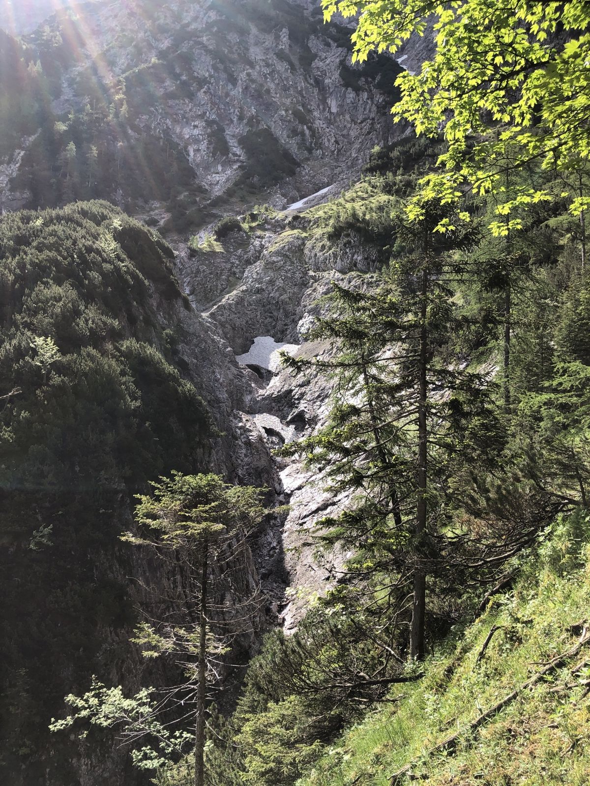
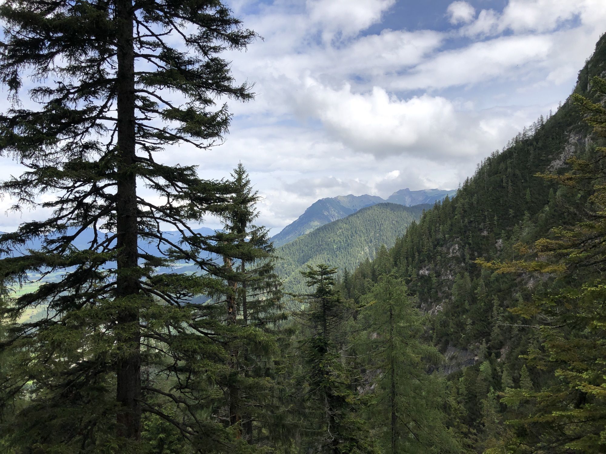
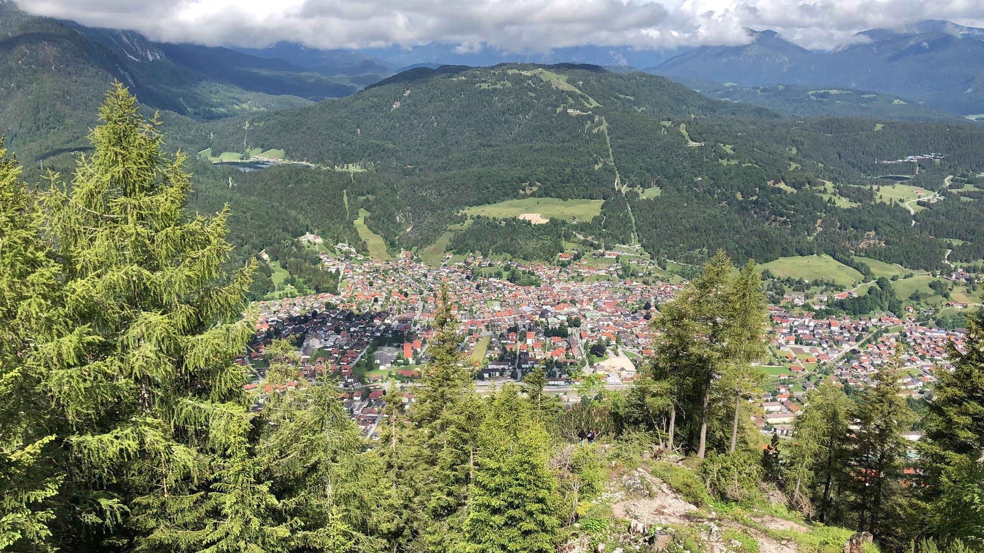
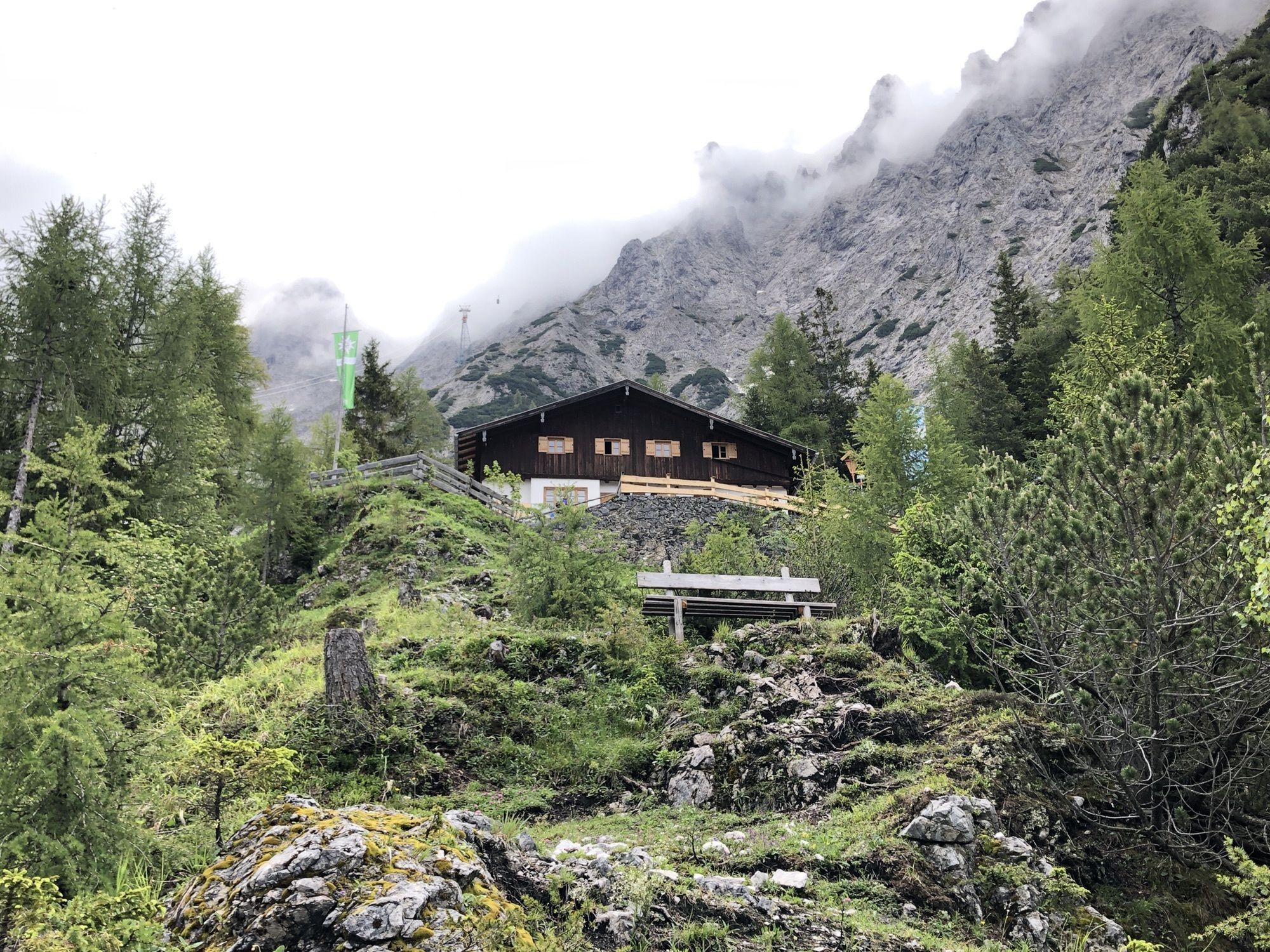
Wanderung auf die Mittenwald Hütte
- Moeilijkheid
-
medium
- Waardering
-
- Route
-
Mittenwald0,8 kmMittenwalder Hütte (1.518 m)4,8 km
- Maximale hoogte
- 1.513 m

GPS Downloads


Meer rondleidingen in de regio's
-
Alpenwelt Karwendel
1613
-
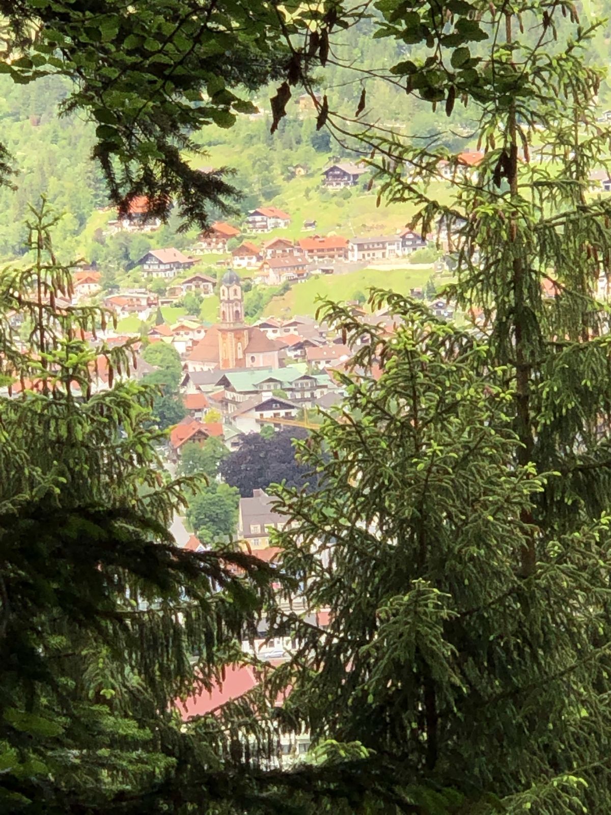
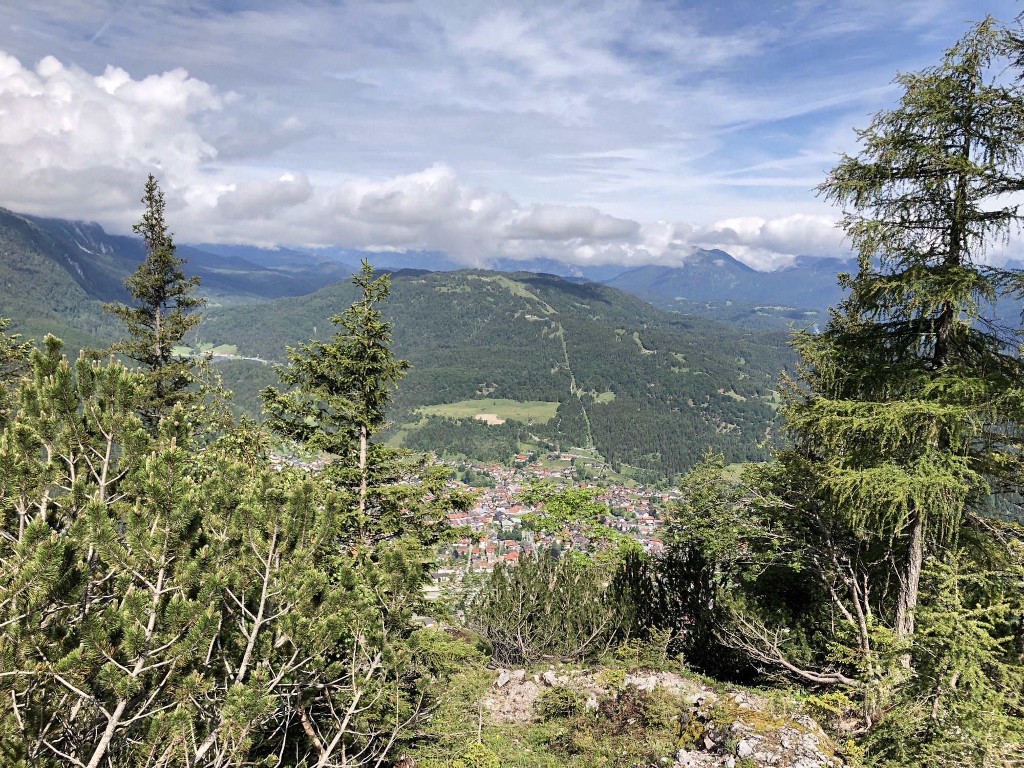
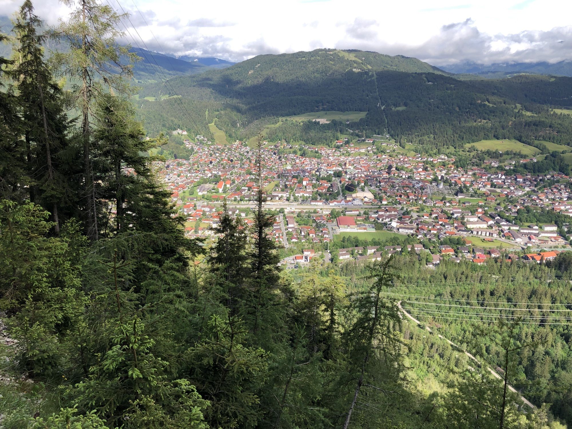
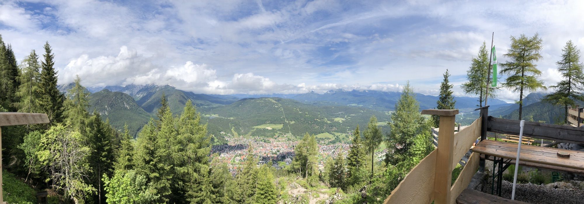
Mittenwald
483