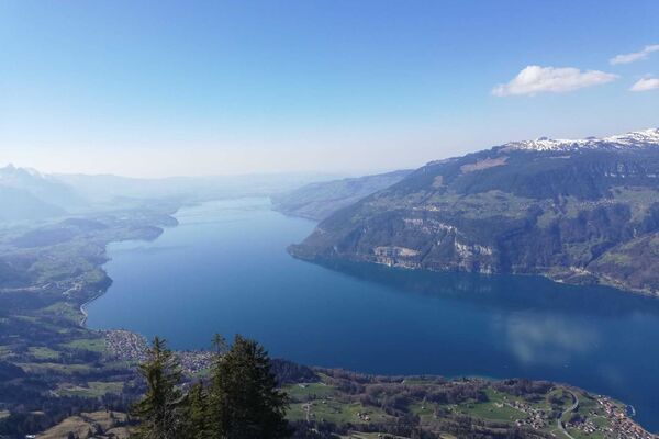
© Interlaken Tourismus - Melanie Studer

© Interlaken Tourismus - Melanie Studer

© Interlaken Tourismus - Melanie Studer

© Interlaken Tourismus - Melanie Studer

- Korte beschrijving
-
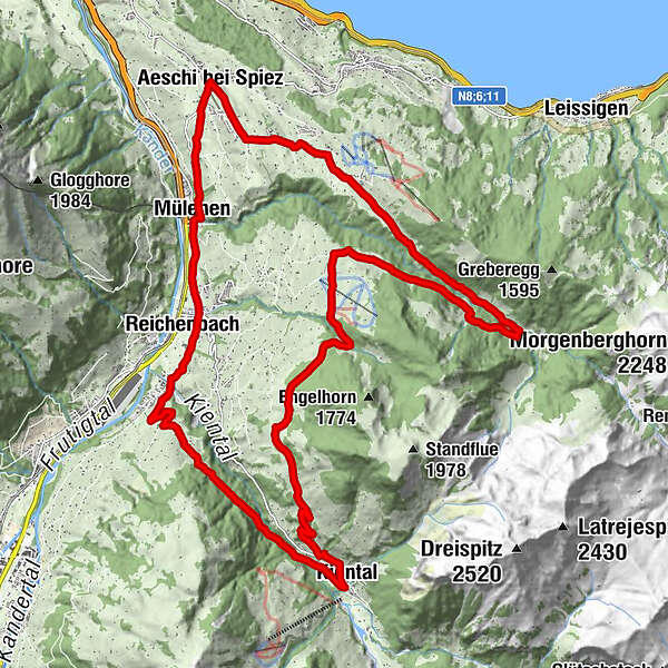
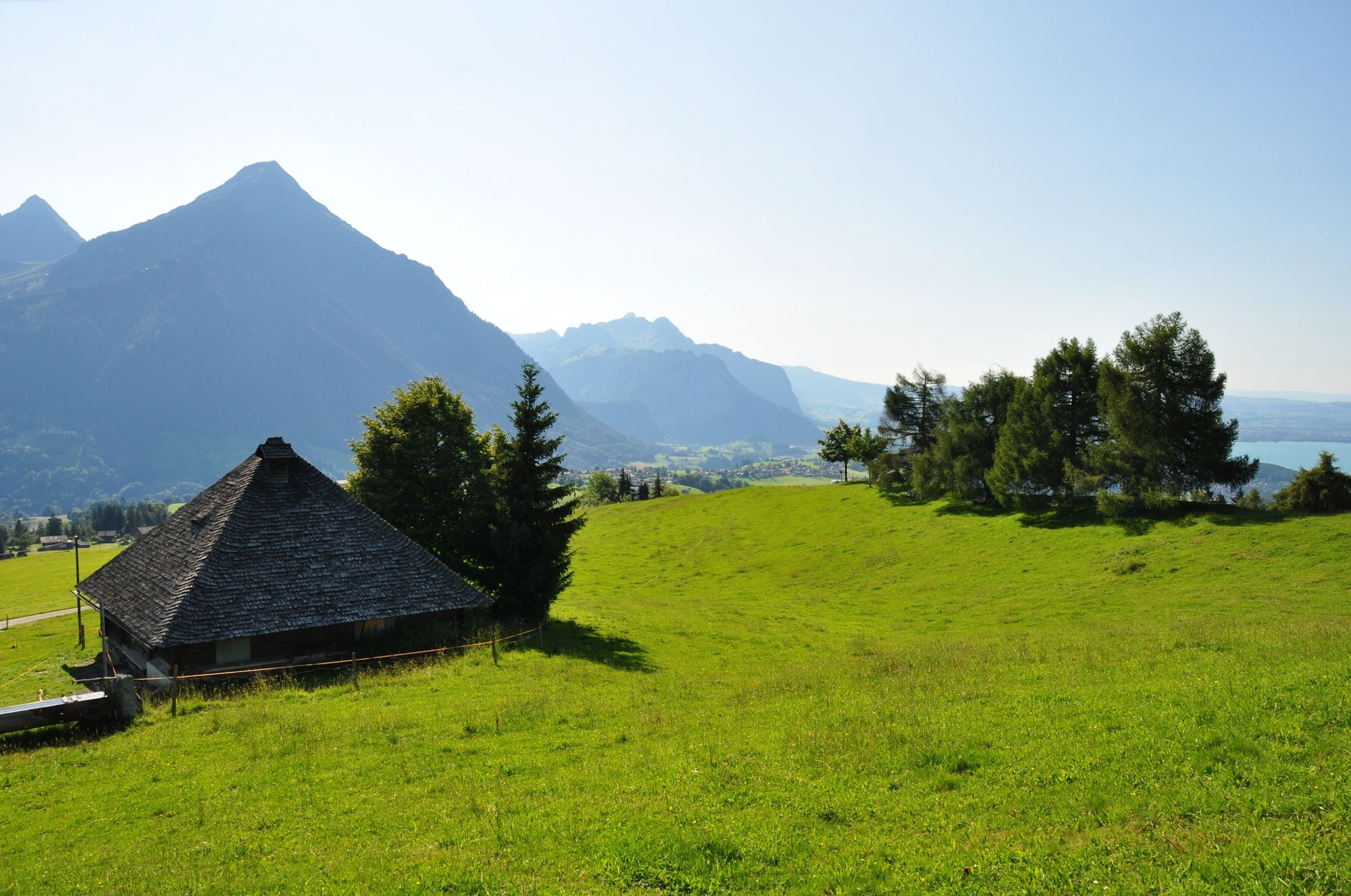
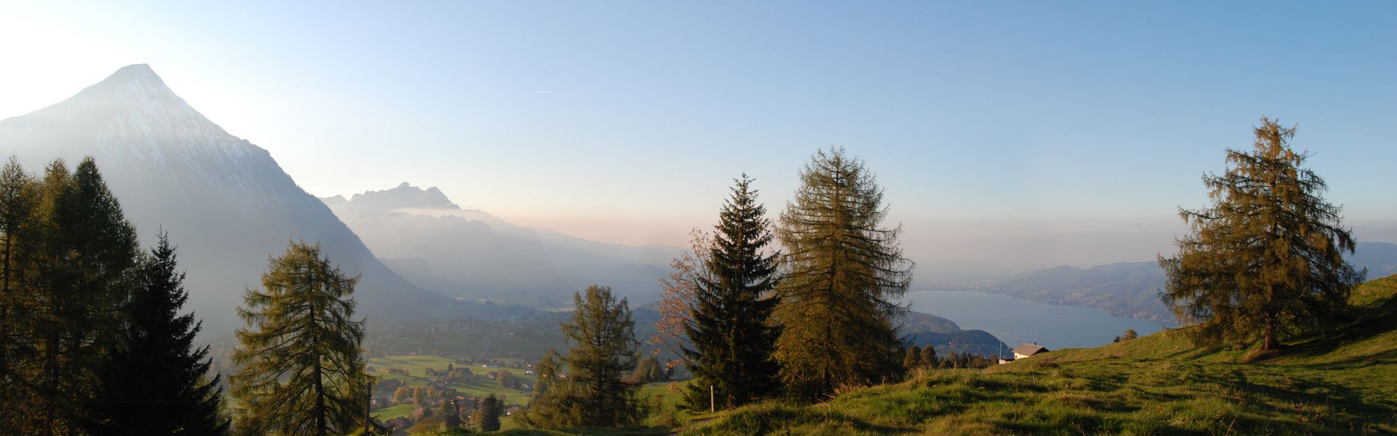
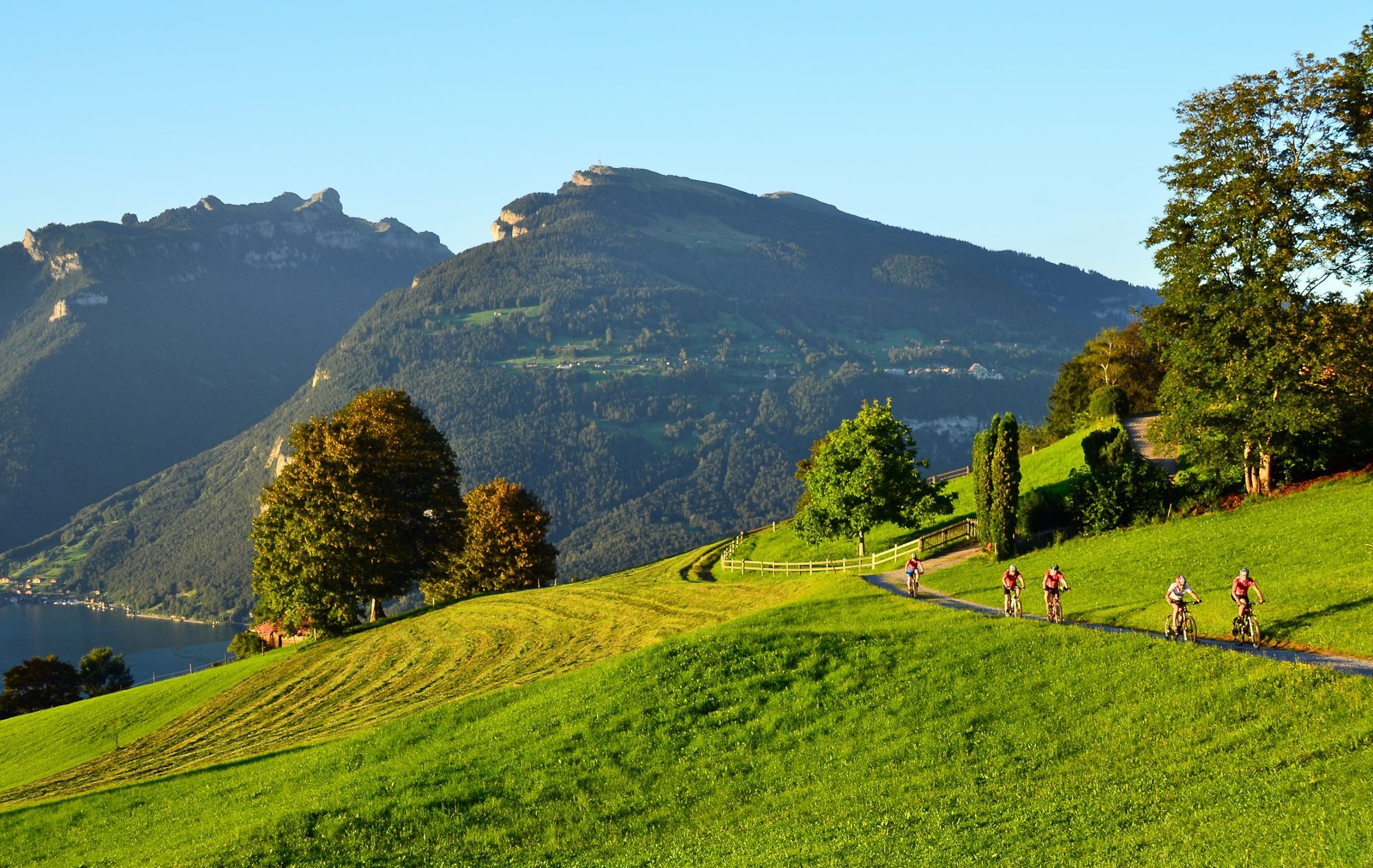
Through a fairytale landscape to the idyllic Suldtal valley and up to Faltschen. The magnificent mountain scenery will reward your effort in spades.
- Moeilijkheid
-
medium
- Waardering
-
- Route
-
Aeschi bei Spiez (862 m)0,0 kmEvangelisch-Methodistische Kirche Benaja1,3 kmPanorama3,0 kmAeschiried (1.015 m)3,0 kmWeckers9,5 kmFaltschen/Weeggers (1.025 m)10,3 kmSteinweide10,6 kmPintli10,7 kmAbendmatte12,1 kmBütschiweid15,6 kmHubel16,2 kmKiental (958 m)17,9 kmIm Guet21,4 kmAris21,9 kmReichenbach im Kandertal (707 m)24,5 kmEvangelisch-reformierte Kirche Reichenbach24,7 kmBären24,8 kmGasthof Bären26,2 kmMülenen (692 m)26,4 kmAeschi bei Spiez (862 m)28,8 km
- Beste seizoen
-
janfebmrtaprmeijunjulaugsepoktnovdec
- Maximale hoogte
- 1.221 m
- Bestemming
-
Aeschi
- Hoogteprofiel
-
 © outdooractive.com

- Auteur
-
De rondleiding Faltschen Panorama Trail wordt gebruikt door outdooractive.com op.
GPS Downloads


Meer rondleidingen in de regio's
-
Oberwallis
210
-
Thunersee
74
-
Reichenbach im Kandertal
17