- Korte beschrijving
-
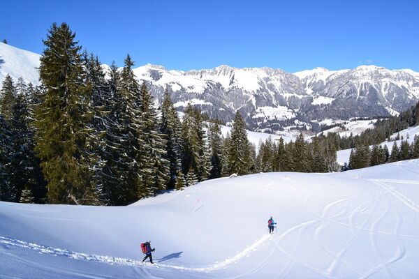
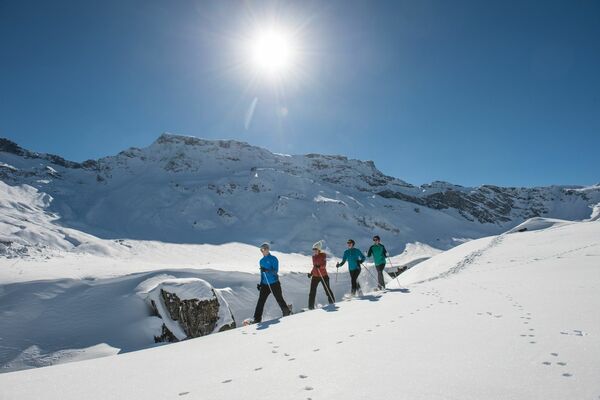
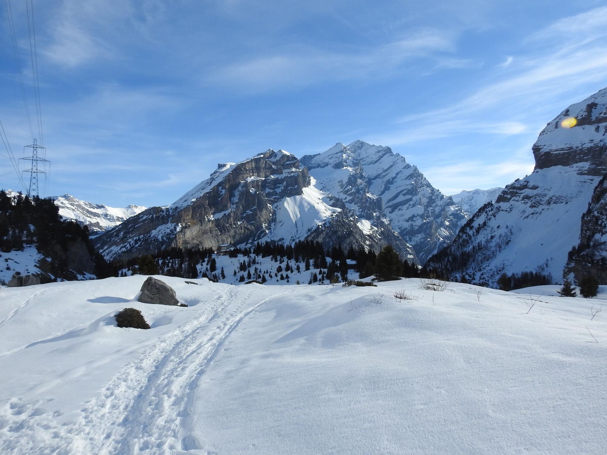
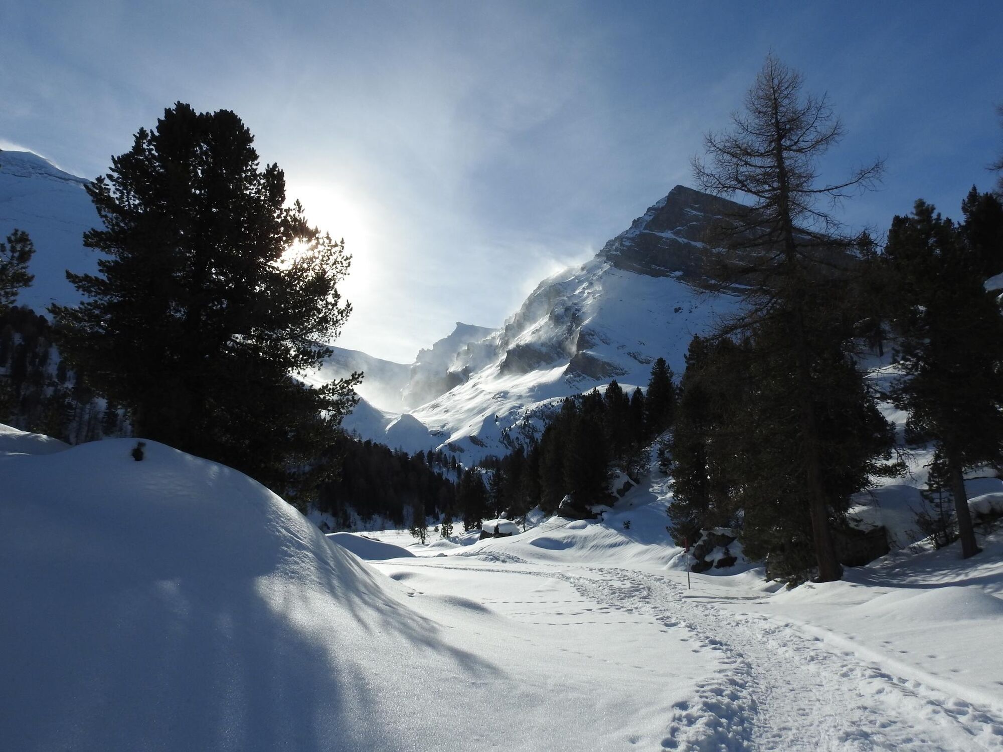
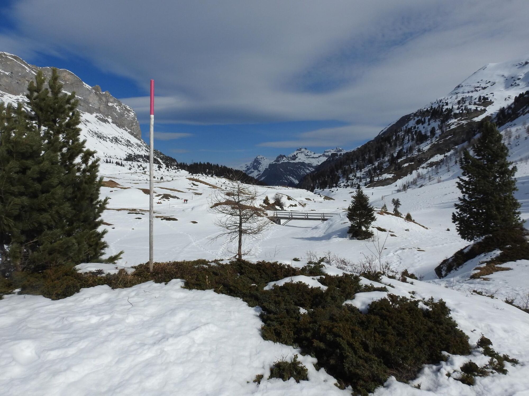
Starting from the Sunnbüel mountain station, the marked trail leads beyond the winter hiking trail to the Spittelmatte (1853 m), past an mountain hut and back to the starting point.
- Moeilijkheid
-
medium
- Waardering
-
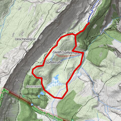
- Route
-
SunnbüelAltelshütte0,2 kmAltelshütte4,5 kmSunnbüel4,7 km
- Beste seizoen
-
augsepoktnovdecjanfebmrtaprmeijunjul
- Maximale hoogte
- 1.963 m
- Bestemming
-
Sunnbüel
- Hoogteprofiel
-
 © outdooractive.com
-

-
AuteurDe rondleiding Spittelmatte Trail - Kandersteg (sig.) wordt gebruikt door outdooractive.com op.
GPS Downloads


Algemene info
Verfrissingsstop
Meer rondleidingen in de regio's