© Interlaken Tourismus - Mike Kaufmann
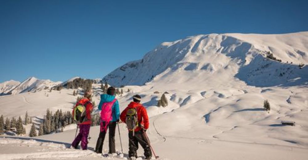
© interlaken.ch - Berne Rando
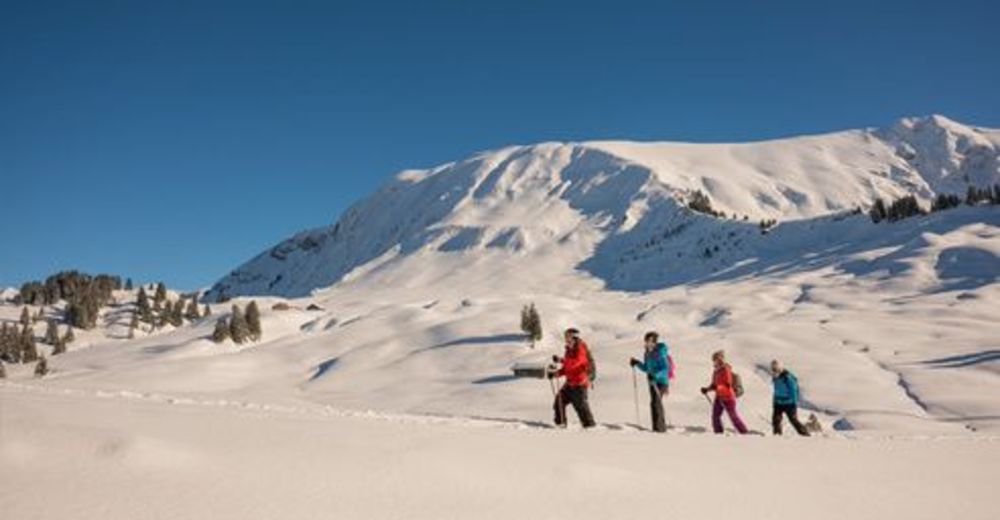
© interlaken.ch - Berne Rando


- Korte beschrijving
-
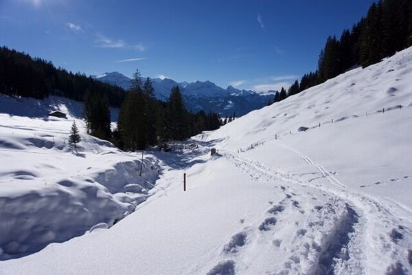
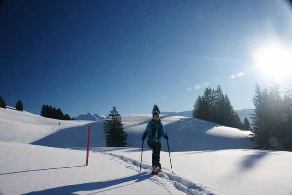
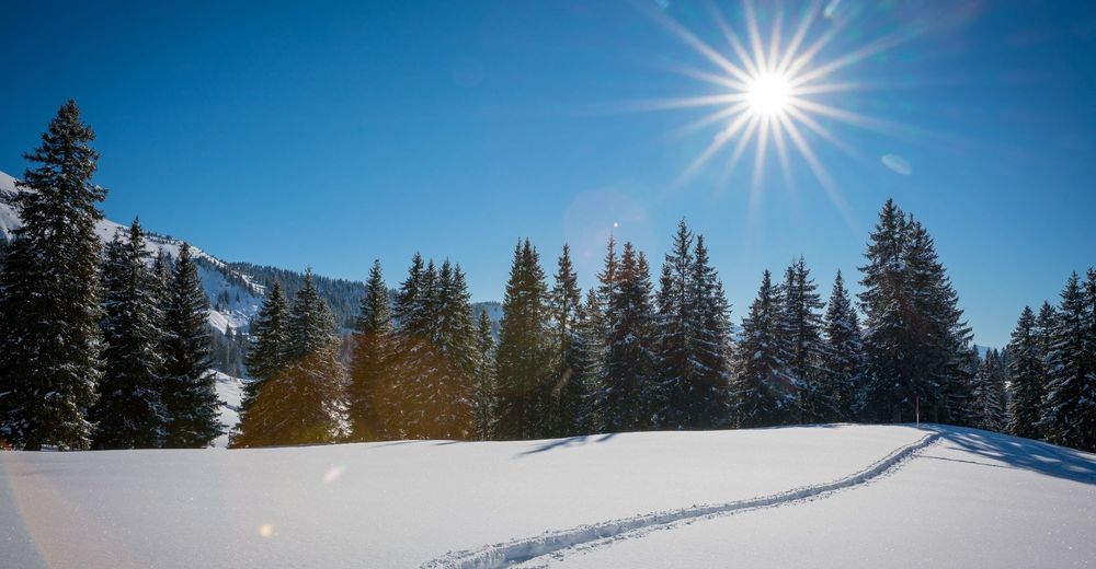
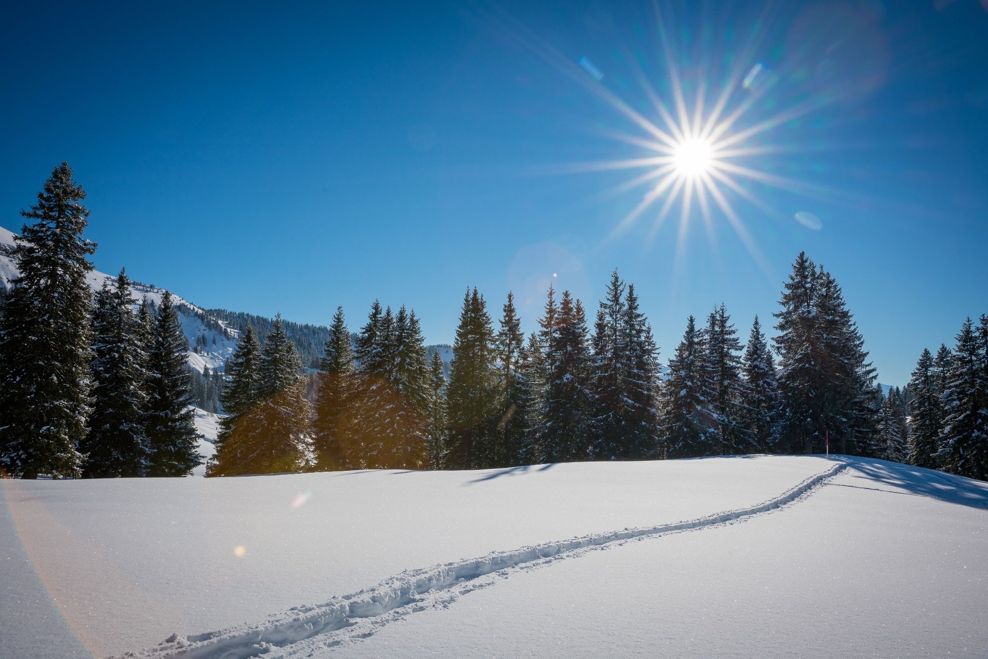
Snowshoeing is not permitted across the Habkern moor, except on specified trails. A hike along a good path, through idyllic winter landscapes, undisturbed by irritating snowshoe tracks...what could be nicer than that? This is why we have “Stay on the trail” as our motto: help do your bit by sticking to the trail too!
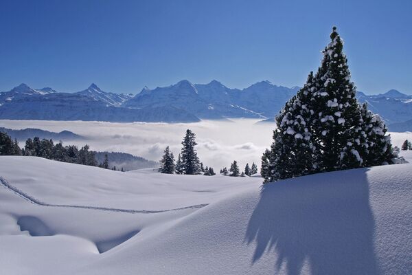
Cross-country tours or winter hikes offer an active way to relax. If you're looking for something a little more romantic, why not opt for the night-time snowshoe tour, culminating with a delicious fondue? A unique snowshoe experience on marked trails in pristine nature!
- Moeilijkheid
-
medium
- Waardering
-
- Route
-
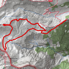
JägerstübliLombachalp0,0 kmSpycher4,8 kmBolberg (1.799 m)6,1 kmJägerstübli8,6 kmLombachalp8,6 km
- Beste seizoen
-
augsepoktnovdecjanfebmrtaprmeijunjul
- Maximale hoogte
- 1.735 m
- Bestemming
-
Habkern, Lombachalp
- Hoogteprofiel
-
 © outdooractive.com


-

-
AuteurDe rondleiding Lombachalp (Habkern) snowshoe tour wordt gebruikt door outdooractive.com op.
GPS Downloads


Algemene info
Verfrissingsstop
Veelbelovend
Meer rondleidingen in de regio's
-
Obwalden
122
-
Interlaken
81
-
Habkern
20