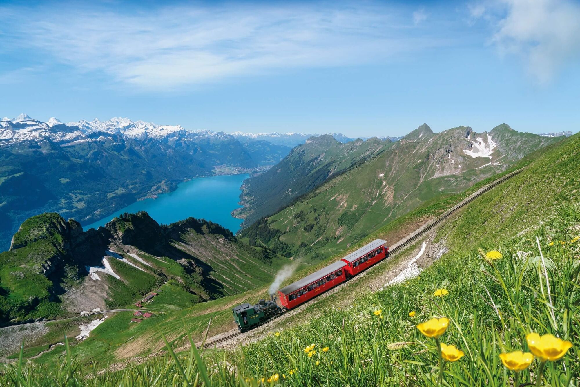
© Brienz Rothorn Bahn

© Interlaken Tourismus - Brienz Rothorn Bahn


© Interlaken Tourismus - Brienz Rothorn Bahn

- Korte beschrijving
-
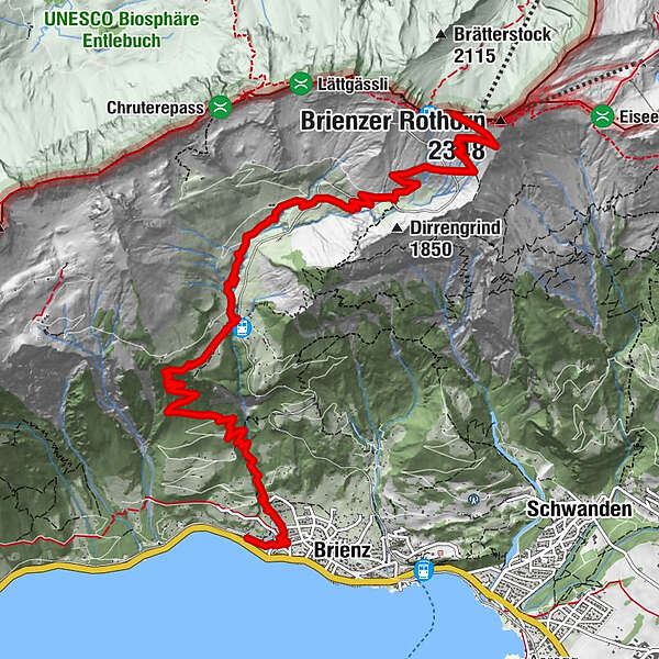
Experience the mountain hike to the Brienzer Rothorn on varied trails.
- Moeilijkheid
-
zwaar
- Waardering
-
- Route
-
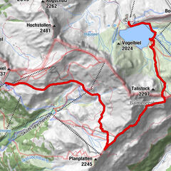
DittligenSeematten0,1 kmBrienz (574 m)0,3 kmGampeli0,9 kmMilibachfall2,0 kmMettli3,8 kmUsweid4,1 kmRothorn9,3 km
- Beste seizoen
-
janfebmrtaprmeijunjulaugsepoktnovdec
- Maximale hoogte
- 2.268 m
- Bestemming
-
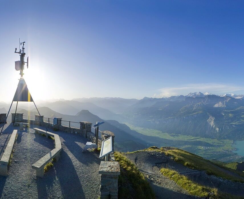
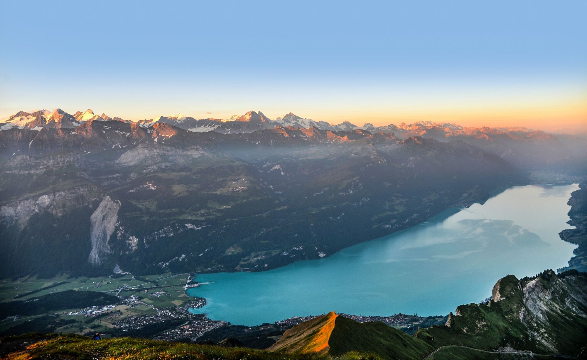
Rothorn Kulm
- Hoogteprofiel
-
 © outdooractive.com

- Auteur
-
De rondleiding Hike to the Brienzer Rothorn wordt gebruikt door outdooractive.com op.
GPS Downloads
Algemene info
Veelbelovend
Meer rondleidingen in de regio's
-
Obwalden
2027
-
Brienzersee
1069
-
Brienz - Axalp
387