© Berner Wanderwege - Markus Schluep

© Berner Wanderwege - Markus Schluep


- Korte beschrijving
-
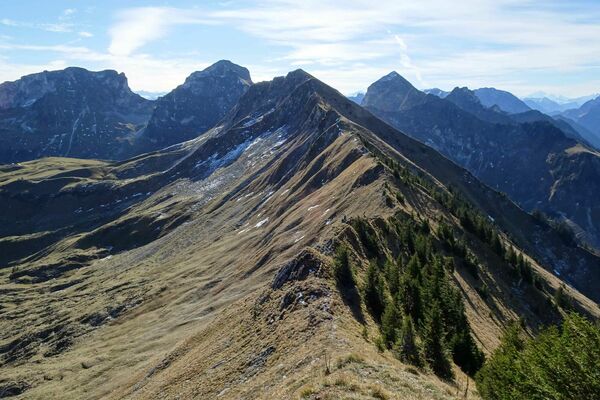
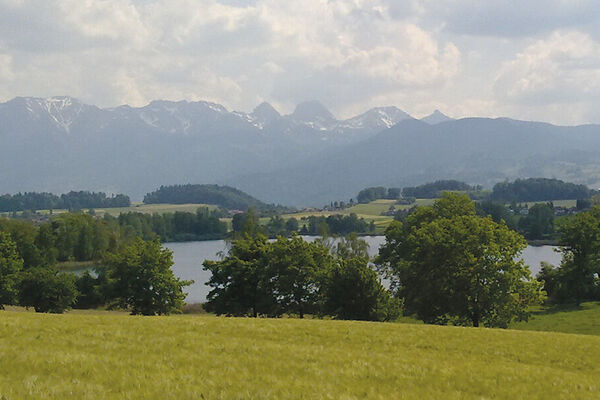
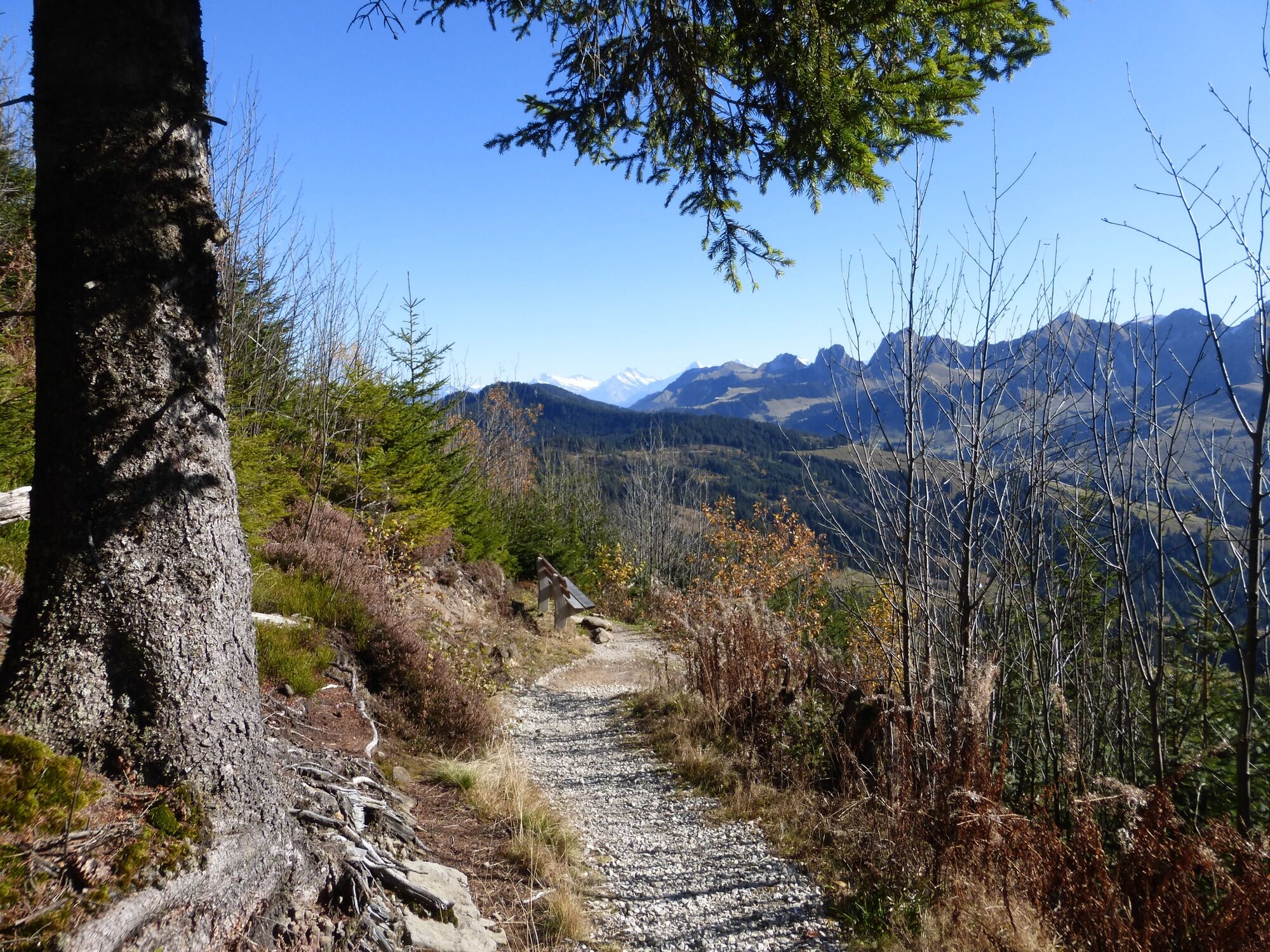
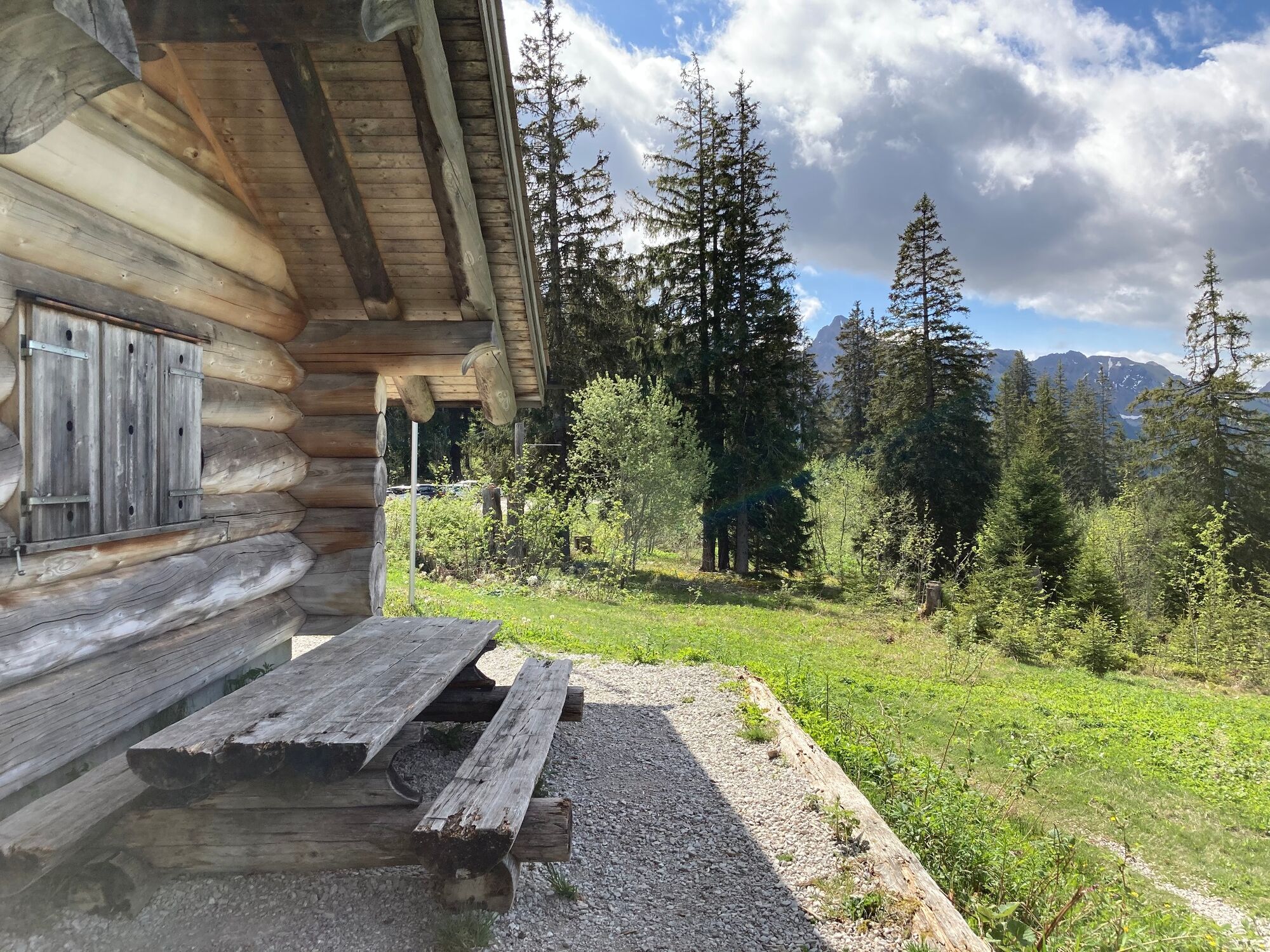
This suggestion is part of the Gantrisch panoramic trail detailed in the hiking guide Wanderland Schweiz, where it is described as one of the most beautiful panoramic trails in the Bernese foothills. There's just a short section at the end that is paved.
- Moeilijkheid
-
medium
- Waardering
-
- Route
-
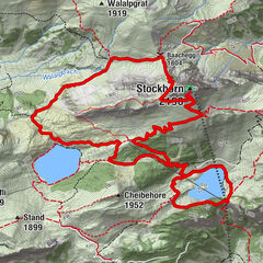
Schüpfeflue (1.721 m)3,8 kmGäggersteg7,1 kmGägger (1.635 m)7,3 kmPfyffe (1.665 m)8,2 kmHuuryiplatz8,6 kmCheesere Höhle8,7 kmRestaurant Zollhaus15,7 kmZollhaus15,8 km
- Beste seizoen
-
janfebmrtaprmeijunjulaugsepoktnovdec
- Maximale hoogte
- 1.709 m
- Bestemming
-
Zollhaus
- Hoogteprofiel
-
 © outdooractive.com


-

-
AuteurDe rondleiding Gantrisch Panoramic Trail wordt gebruikt door outdooractive.com op.
GPS Downloads


Algemene info
Veelbelovend
Meer rondleidingen in de regio's
-
Region Murtensee & Broye
576
-
Naturpark Gantrisch
459
-
Rüschegg
153