- Korte beschrijving
-
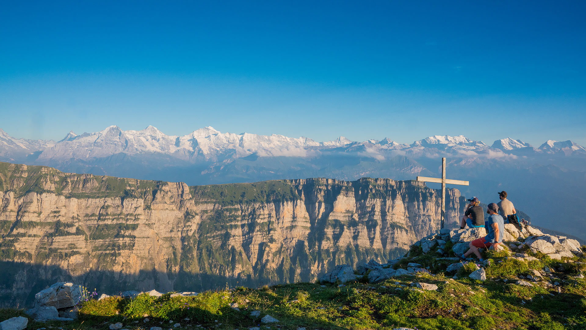
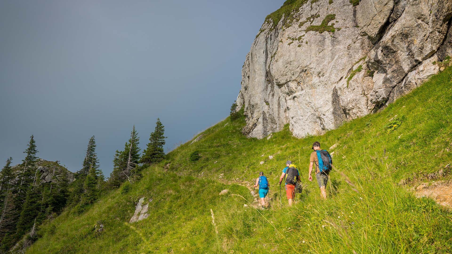
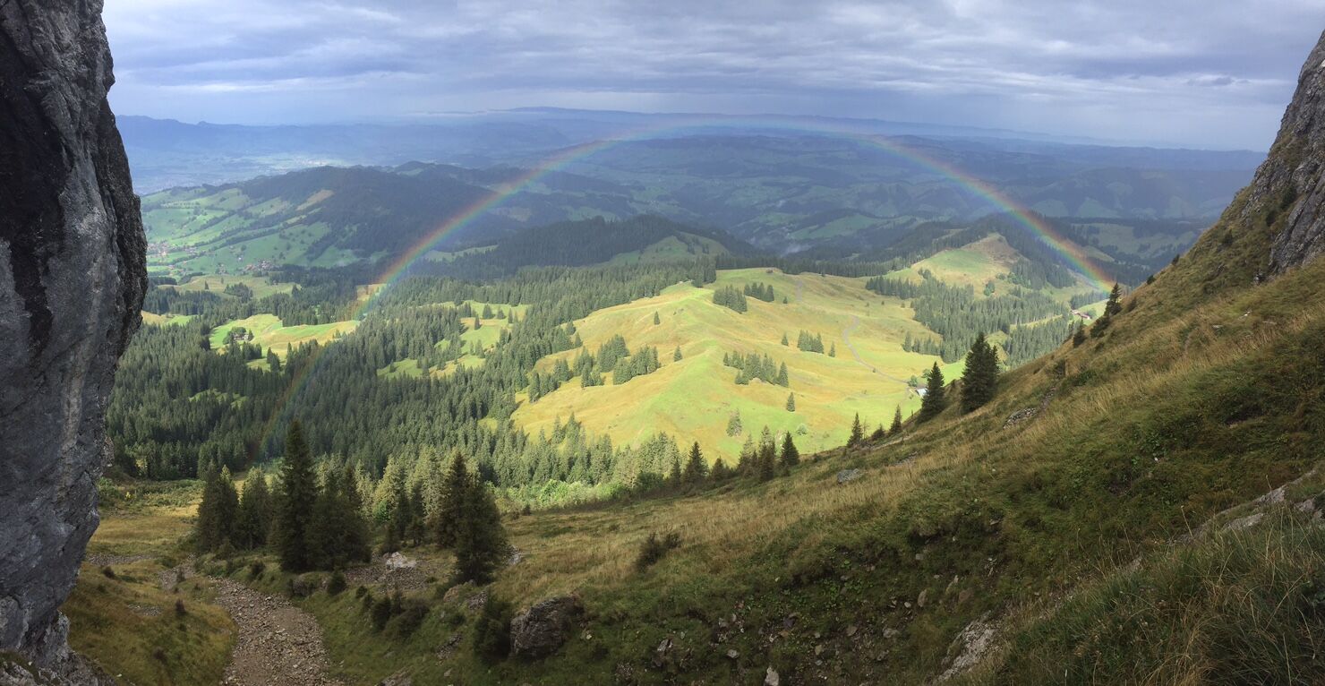
This route takes hikers through a hilly landscape of forests and alpine meadows up to the steep limestone cliffs of the Sigriswiler Rothorn mountain chain. Here the view stretches far and wide to the Jura and to the many fourthousand metre peaks of the Bernese Oberland.
- Moeilijkheid
-
medium
- Waardering
-
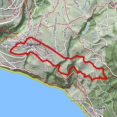
- Route
-
SchwandenSchafloch4,0 kmSchwanden11,6 km
- Beste seizoen
-
janfebmrtaprmeijunjulaugsepoktnovdec
- Maximale hoogte
- 2.037 m
- Bestemming
-
Schwanden Säge
- Hoogteprofiel
-
 © outdooractive.com


- Auteur
-
De rondleiding Sigriswiler Rothorn wordt gebruikt door outdooractive.com op.
GPS Downloads


Algemene info
Tip voor insiders
Veelbelovend