

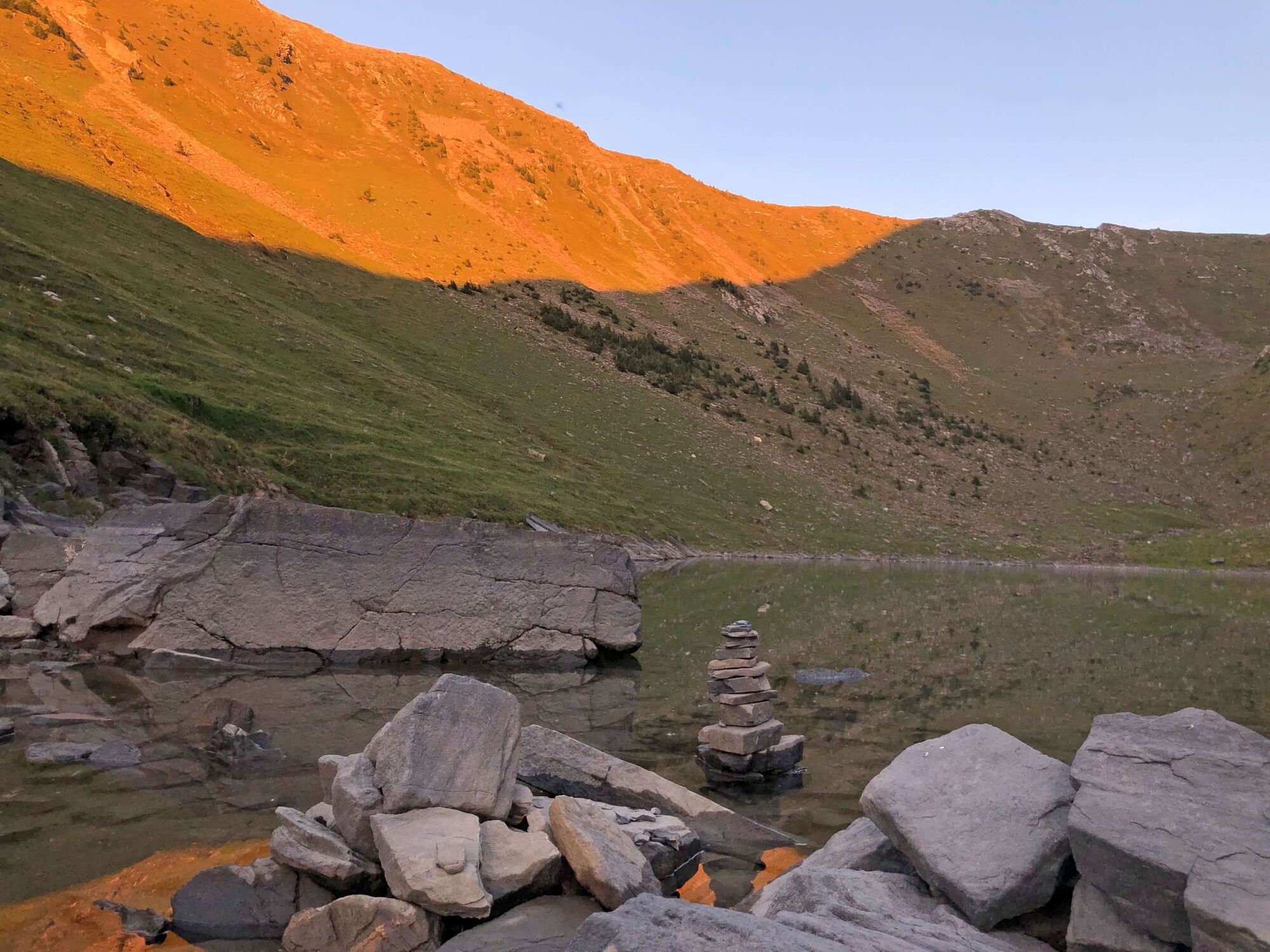
© Naturpark Diemtigtal - Martin Wymann

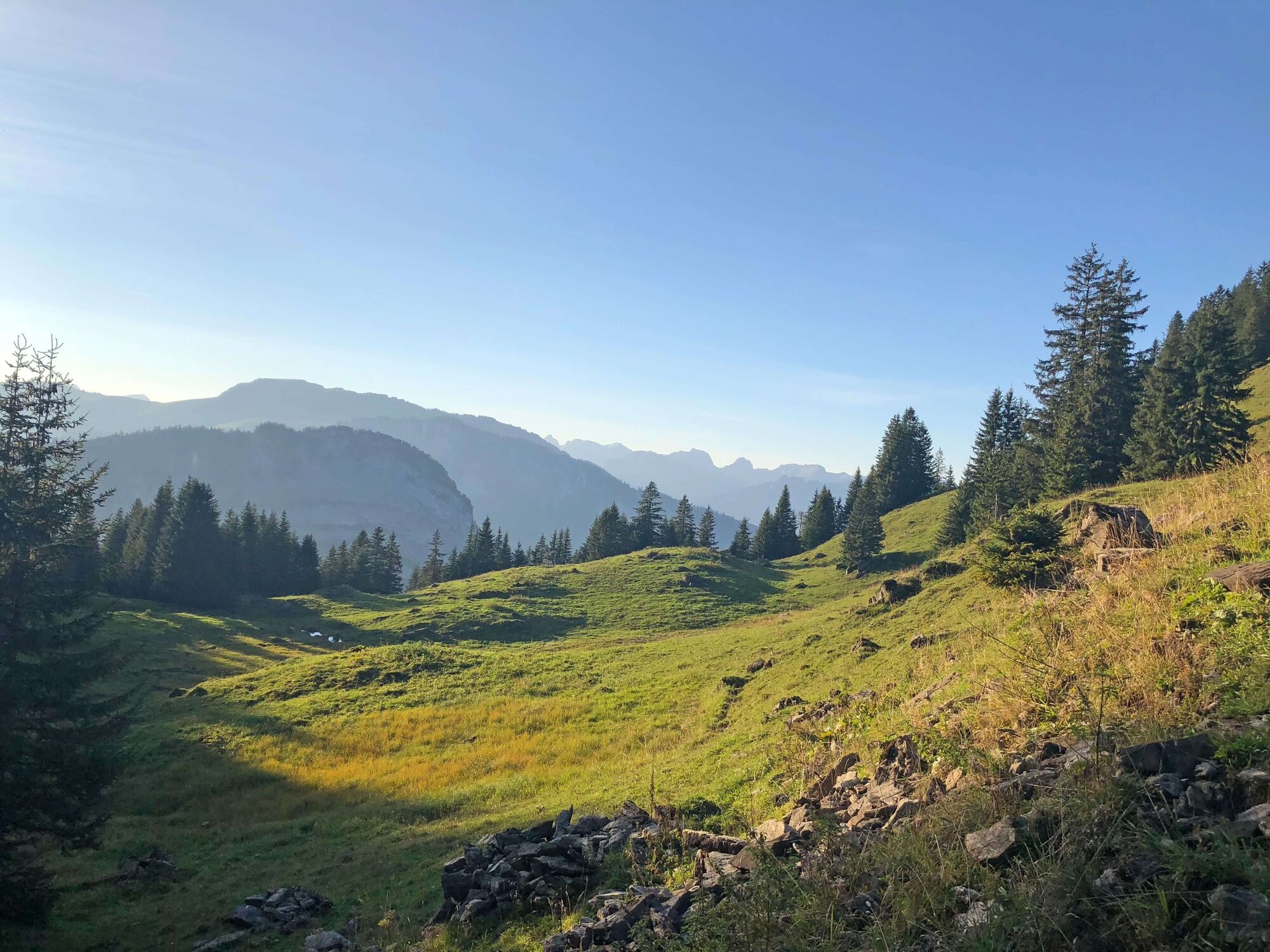
© Naturpark Diemtigtal - Rahel Mazenauer

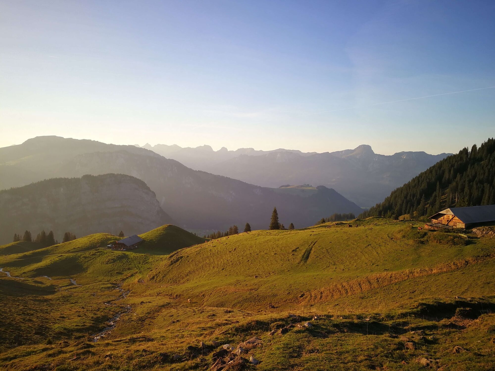
© Naturpark Diemtigtal - Rahel Mazenauer

© Naturpark Diemtigtal - Rahel Mazenauer

© Naturpark Diemtigtal - Céline Perren

- Korte beschrijving
-
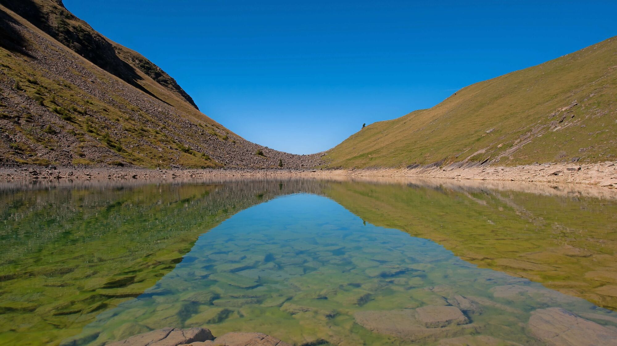
On this lake hike, it is not only the destination that is worthwhile: let yourself be surprised by the varied panorama along the way and enjoy the pure mountain air to the full.
- Moeilijkheid
-
medium
- Waardering
-
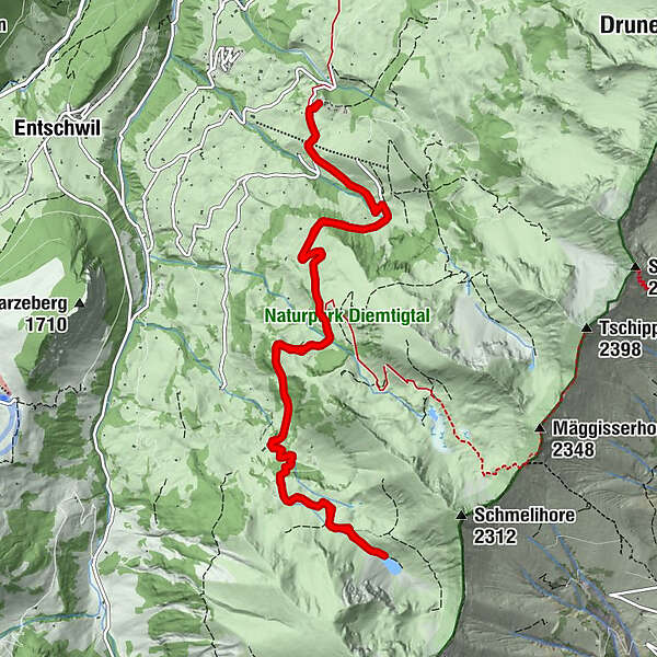
- Route
-
GsässweidSpringeboden0,1 kmSpringeboden13,0 kmGsässweid13,1 km
- Beste seizoen
-
janfebmrtaprmeijunjulaugsepoktnovdec
- Maximale hoogte
- 1.909 m
- Bestemming
-
Gsässweid Inn (Springenboden), Horboden
- Hoogteprofiel
-
 © outdooractive.com

- Auteur
-
De rondleiding Hike to the Meienfall lake wordt gebruikt door outdooractive.com op.
GPS Downloads


Algemene info
Tip voor insiders
Flora
Veelbelovend
Meer rondleidingen in de regio's
-
Oberwallis
1873
-
Naturpark Diemtigtal
937
-
Erlenbach / Simmental
228


