Via Dinarica HR-W-24 Connection with the Livno route of Via Dinarica White Line

Fietsen
© Terra Dinarica - Alan Čaplar

- Korte beschrijving
-
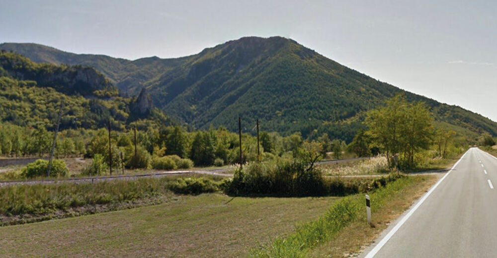
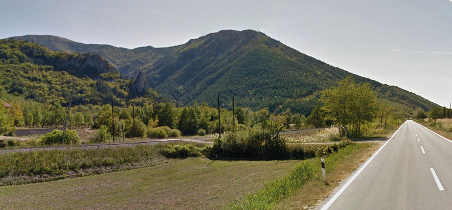
Due to the unique characteristics of the mountain of Dinara, which gave the entire Dinarides and the Via Dinarica trail its name, the White Line branches into three route options in the area of Dinara, from Knin to the southern edge of Kamešnica.
- Moeilijkheid
-
gemakkelijk
- Waardering
-
- Route
-
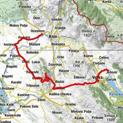
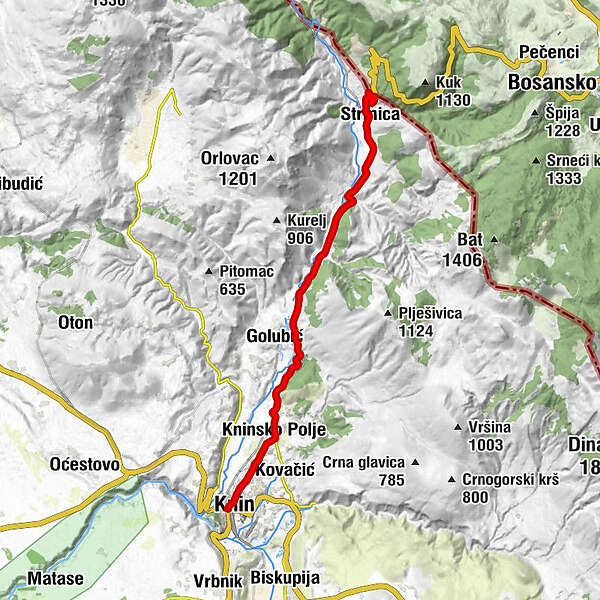
Tenin0,0 kmLa Rossa0,5 kmKninsko Polje3,2 kmStrmica16,5 km
- Beste seizoen
-
janfebmrtaprmeijunjulaugsepoktnovdec
- Maximale hoogte
- 444 m
- Bestemming
-
Granični prijelaz Strmica
- Hoogteprofiel
-
 © outdooractive.com
-

-
AuteurDe rondleiding Via Dinarica HR-W-24 Connection with the Livno route of Via Dinarica White Line wordt gebruikt door outdooractive.com op.