© Terra Dinarica - planinarenje .ba
© Terra Dinarica - planinarenje .ba
© Terra Dinarica - planinarenje .ba
© Terra Dinarica - planinarenje .ba
© Terra Dinarica - planinarenje .ba

- Korte beschrijving
-
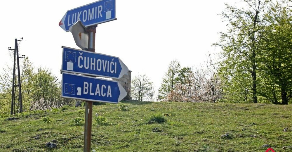
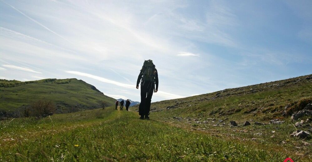
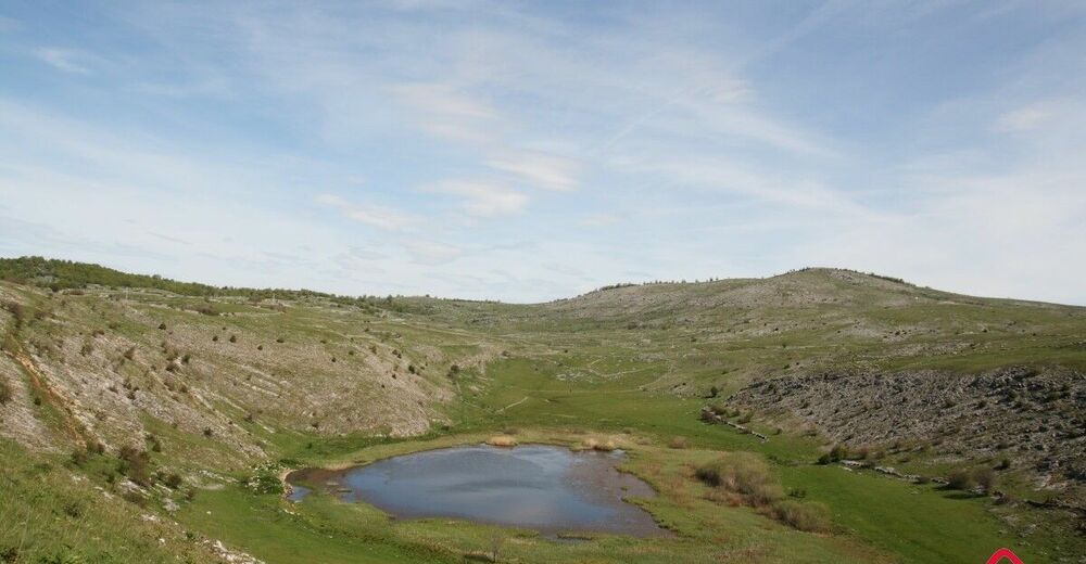
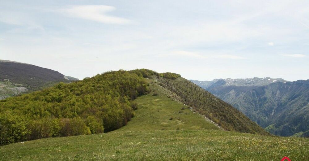
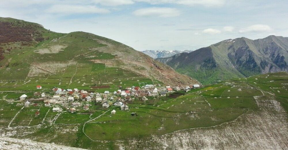
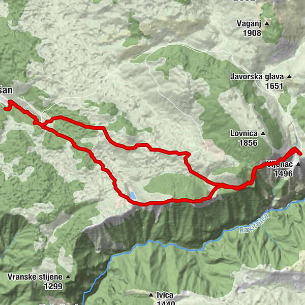
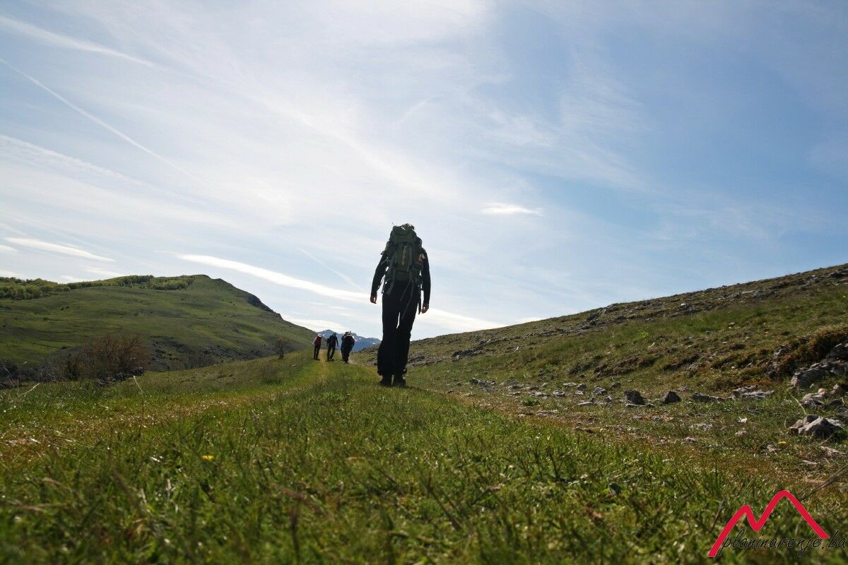
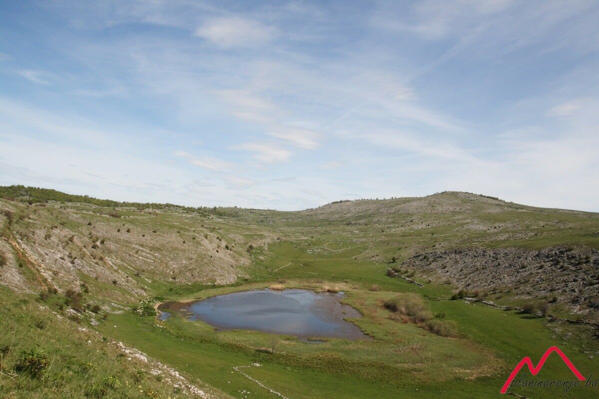
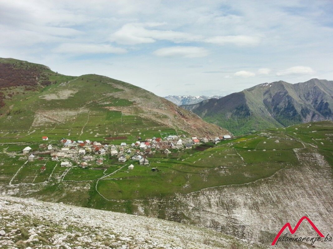
The walk is requires a high level of fitness. You will see lake Blatačko and enjoy a wonderful view of the canyon of the river Rakitnica, and Mt Visočica on the other side of the canyon. The end point is the village of Lukomir.
- Route
-
Na Krovu Svijeta14,2 km
- Maximale hoogte
- 1.520 m
- Bestemming
-
Lukomir Village
- Hoogteprofiel
-
 © outdooractive.com


-

-
AuteurDe rondleiding Blatačko Lake wordt gebruikt door outdooractive.com op.