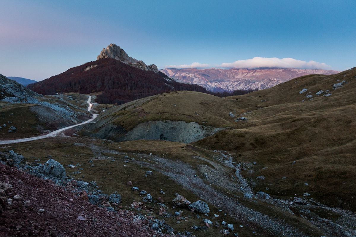
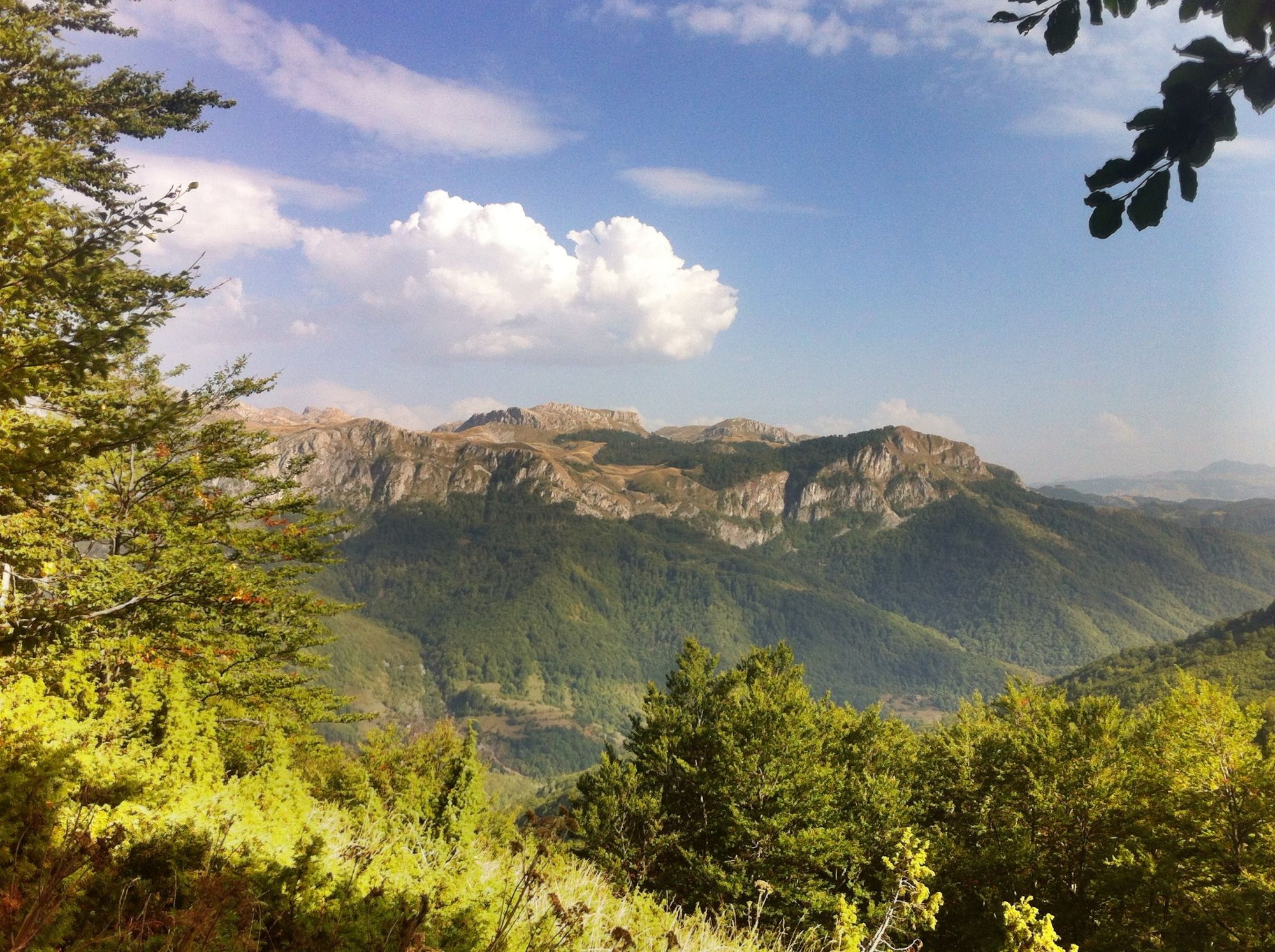
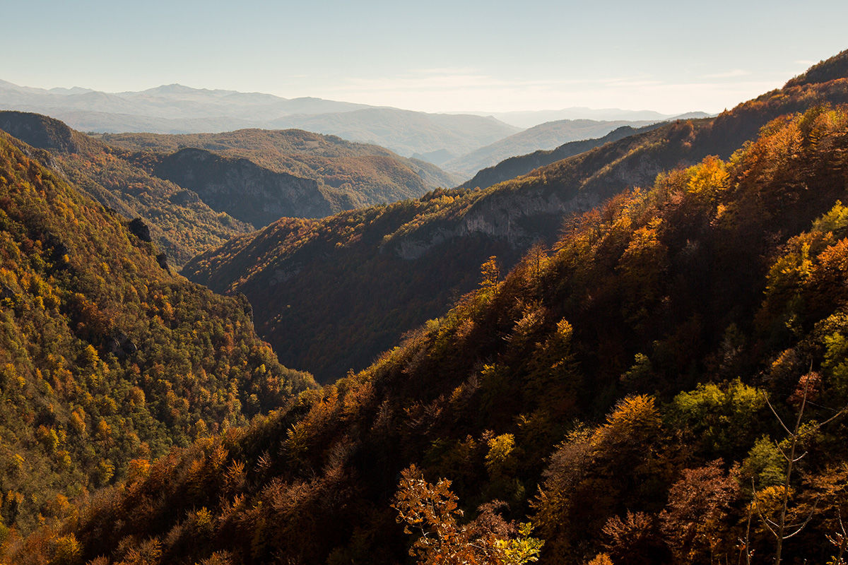
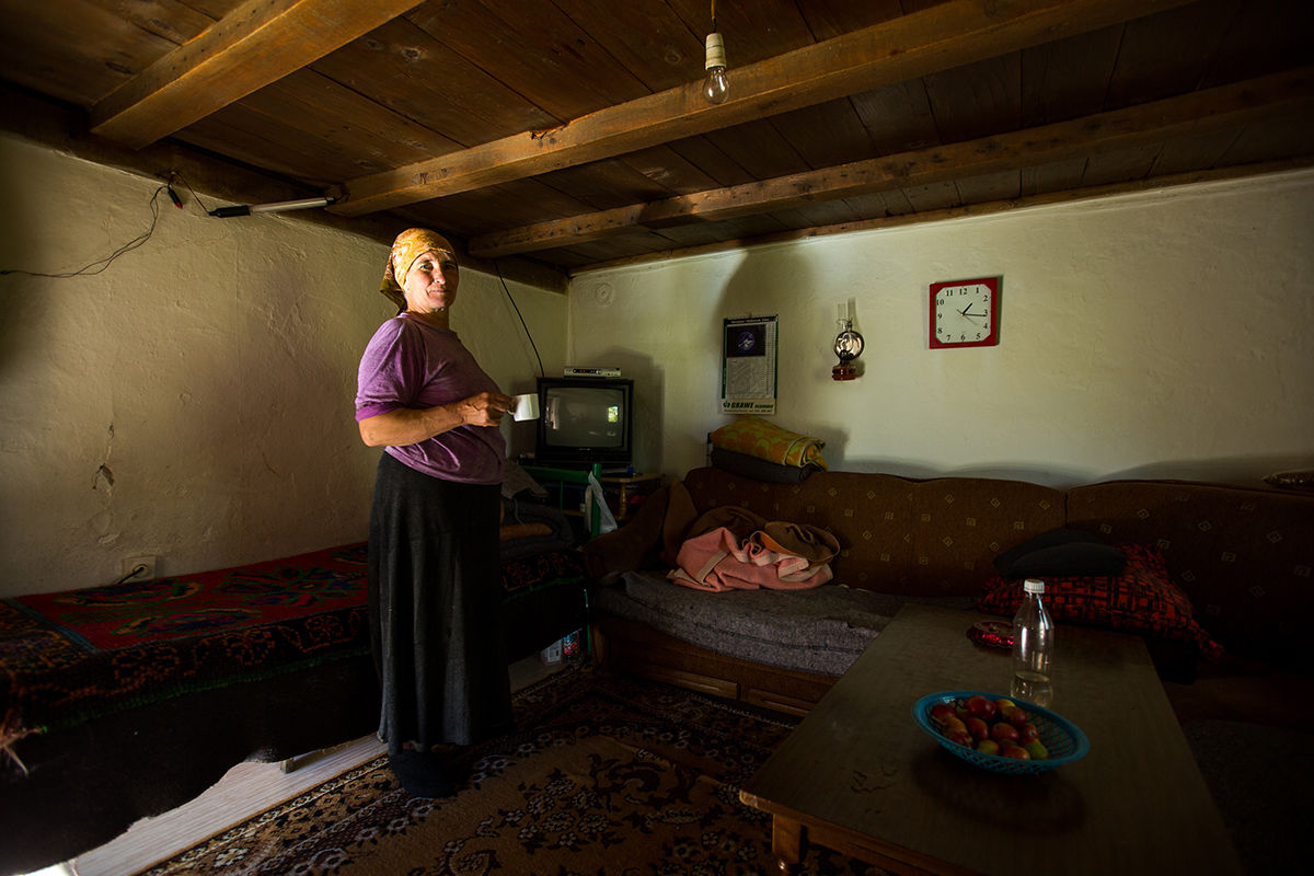
Via Dinarica BH-W-09 Lukomir via Visočica mountain to Ljuta

Wandelen

© Terra Dinarica - Adnan Bubalo

© Outdooractive Redaktion - Lena Wiesler

© Outdooractive Redaktion - Lena Wiesler

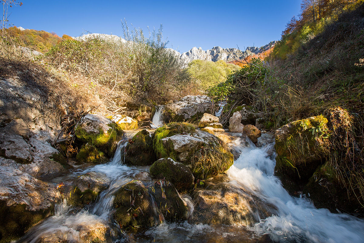
© Terra Dinarica - Olja Latinovic

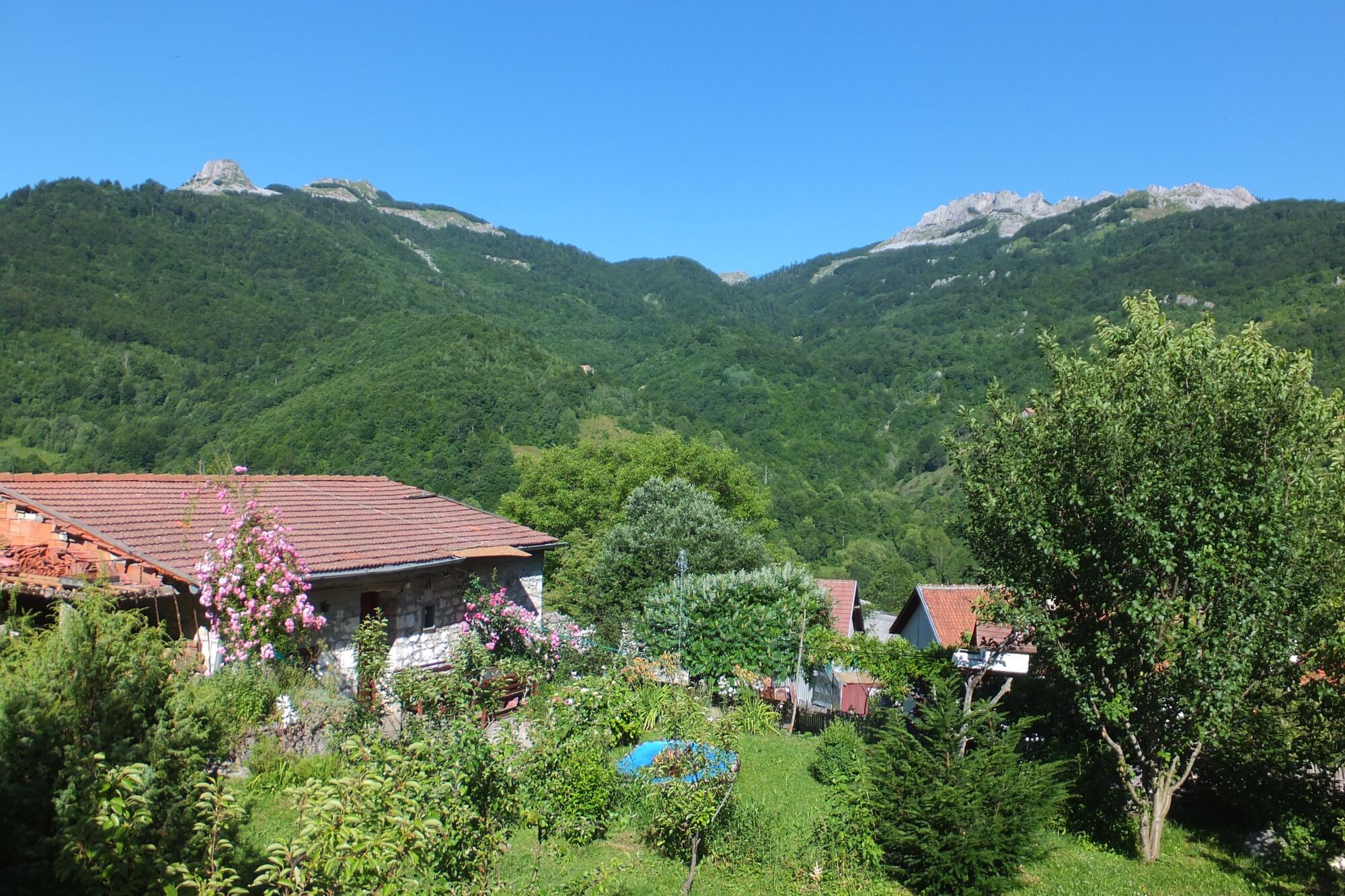
© Terra Dinarica - Olja Latinovic

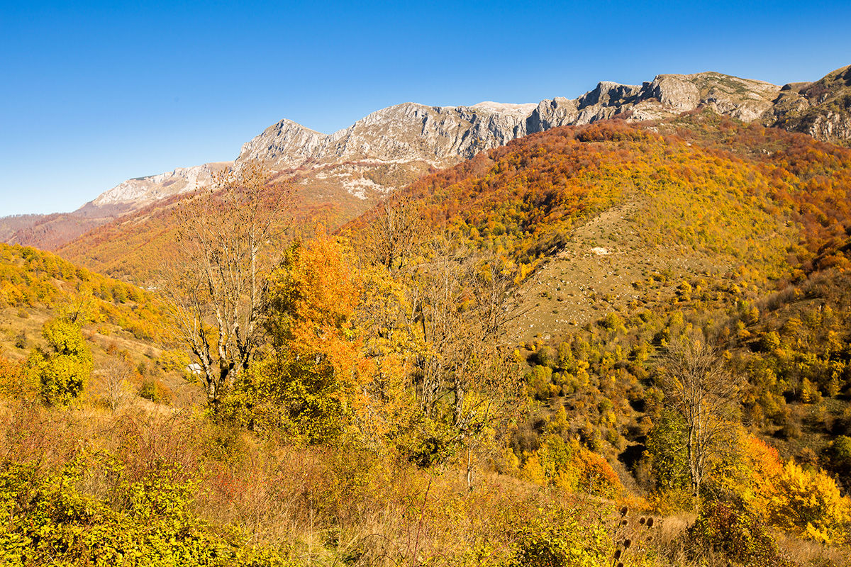
© Terra Dinarica - Olja Latinovic

© Terra Dinarica - Olja Latinovic

© Terra Dinarica - Adnan Bubalo

© Terra Dinarica - Via Dinarica BiH
© Terra Dinarica - Olja Latinovic

- Korte beschrijving
-
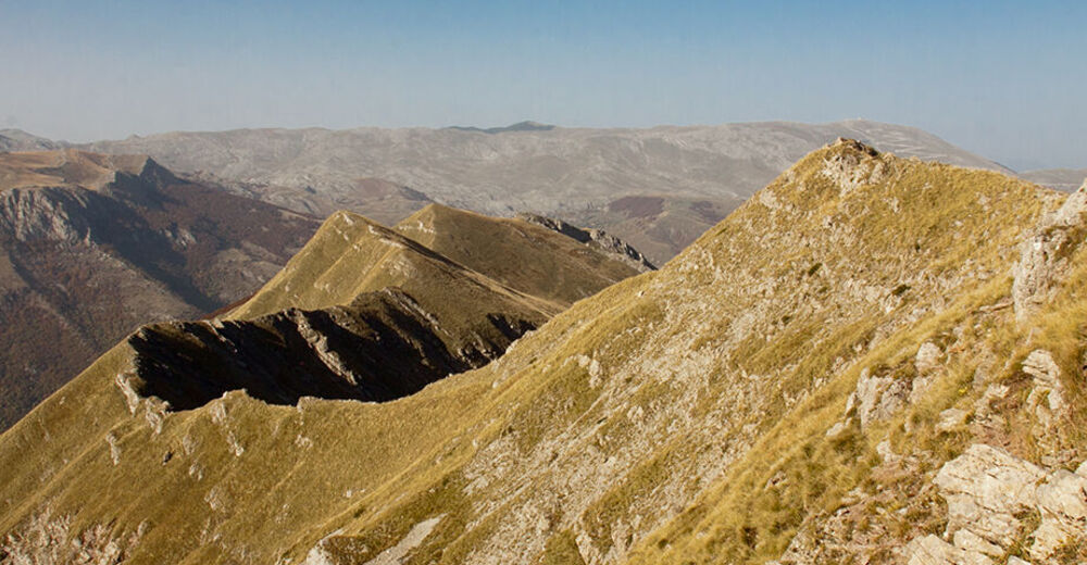
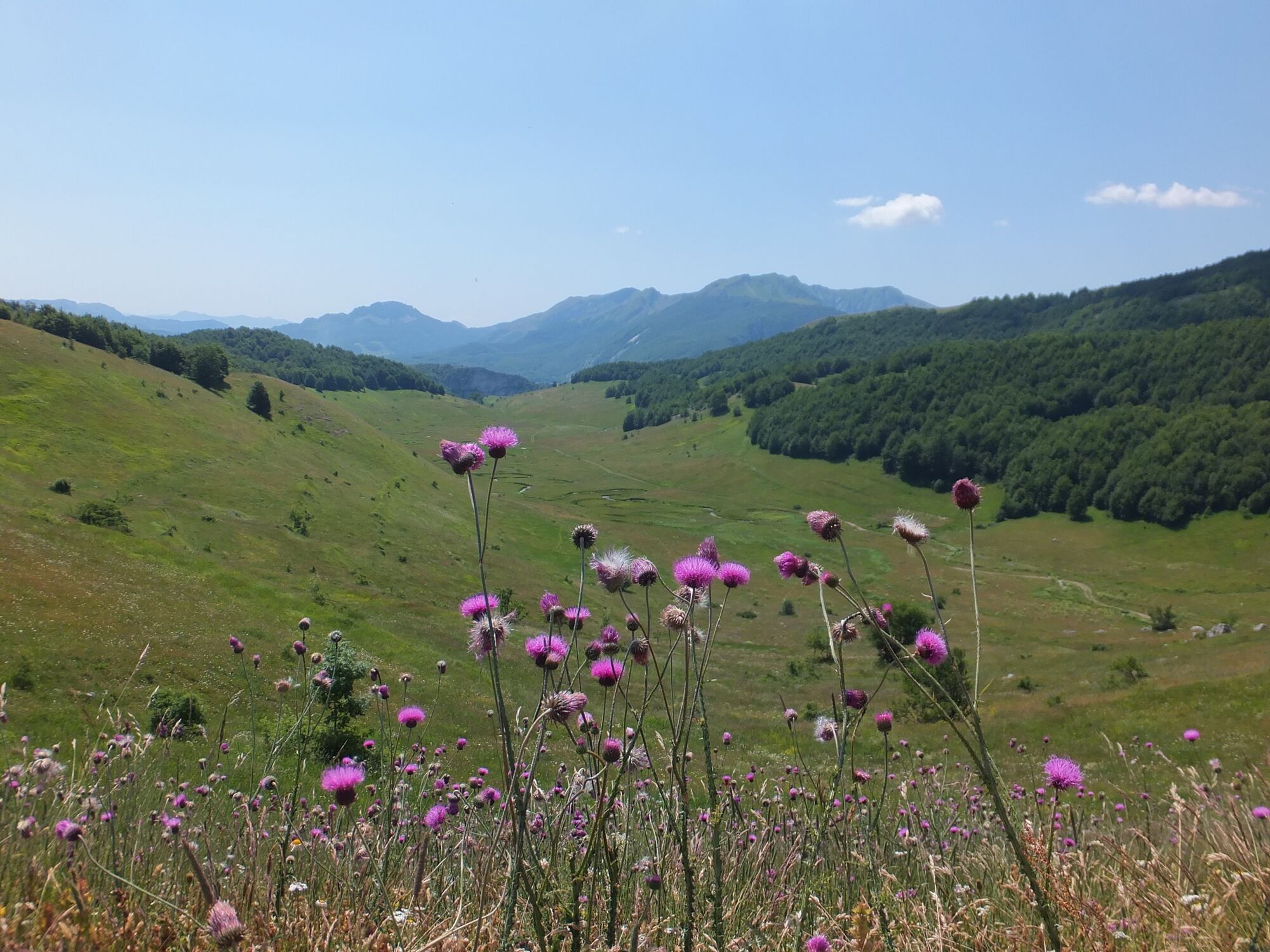
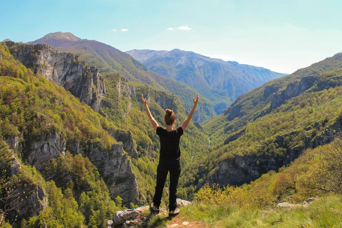
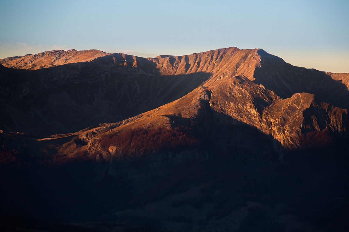
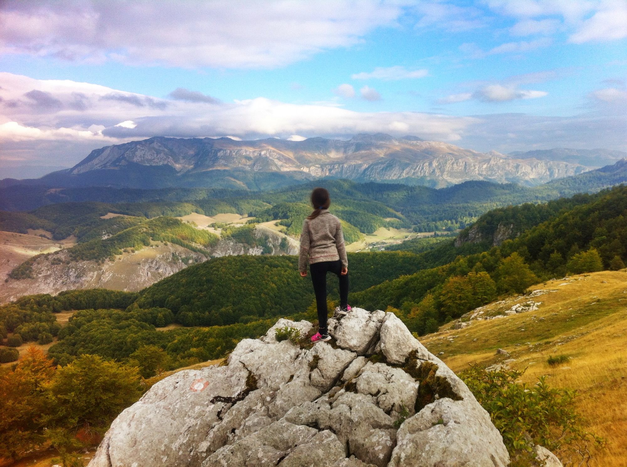
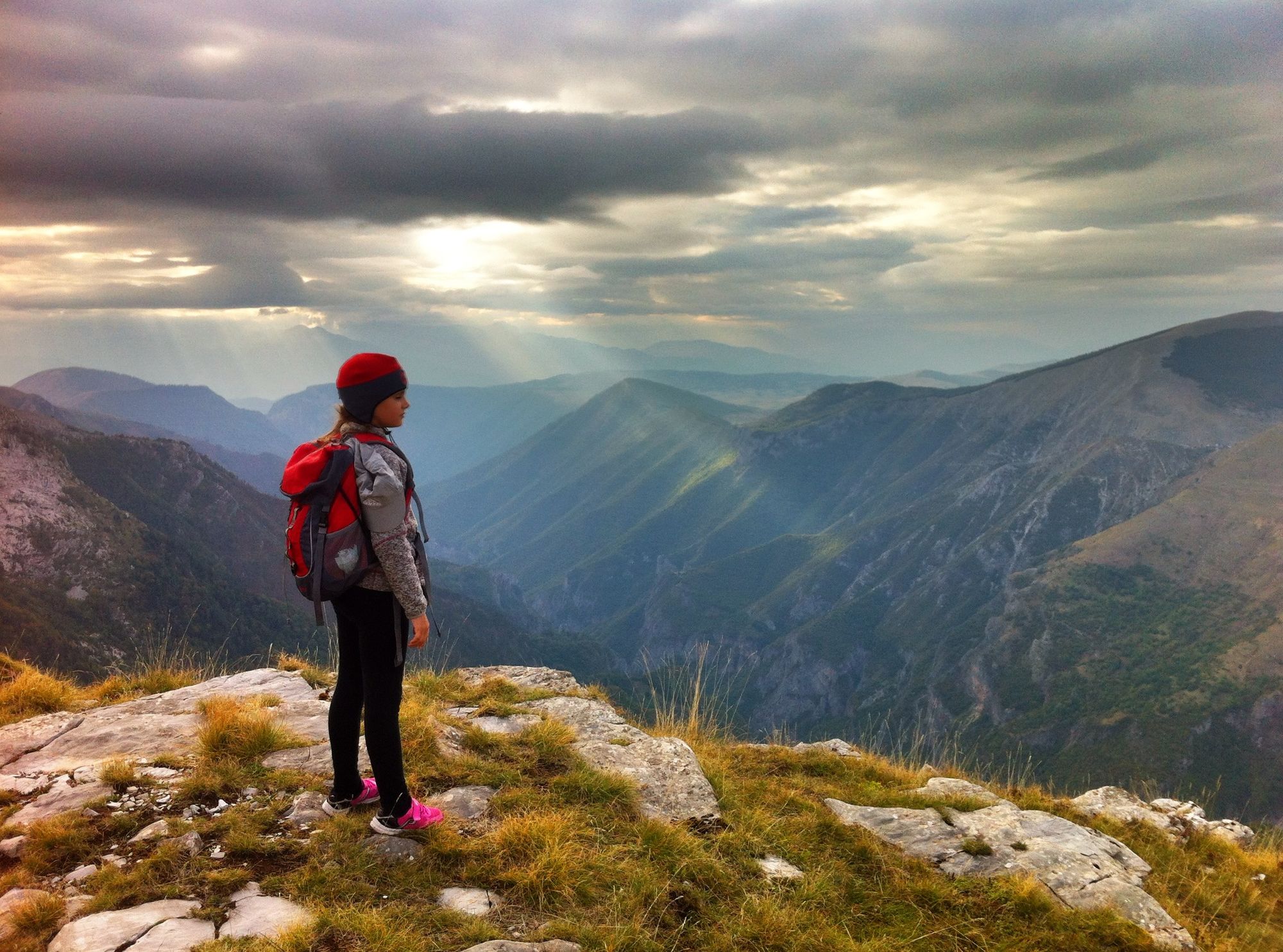
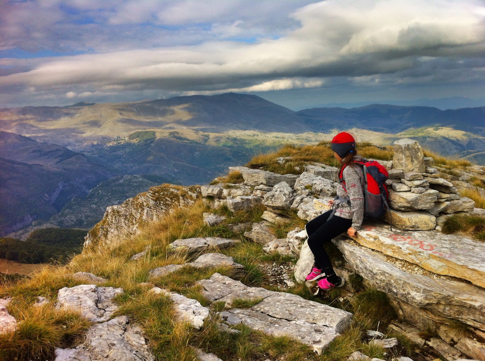
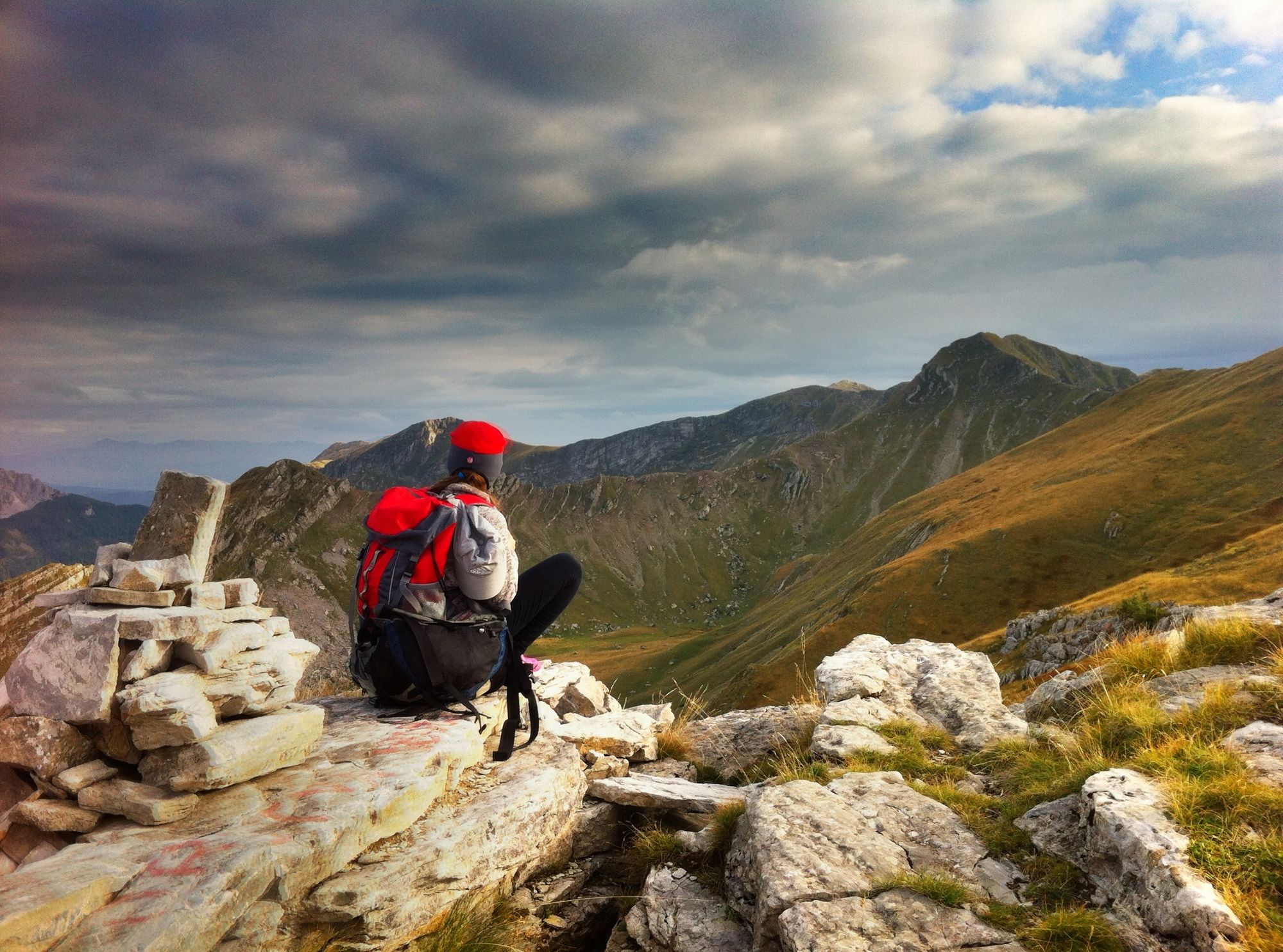
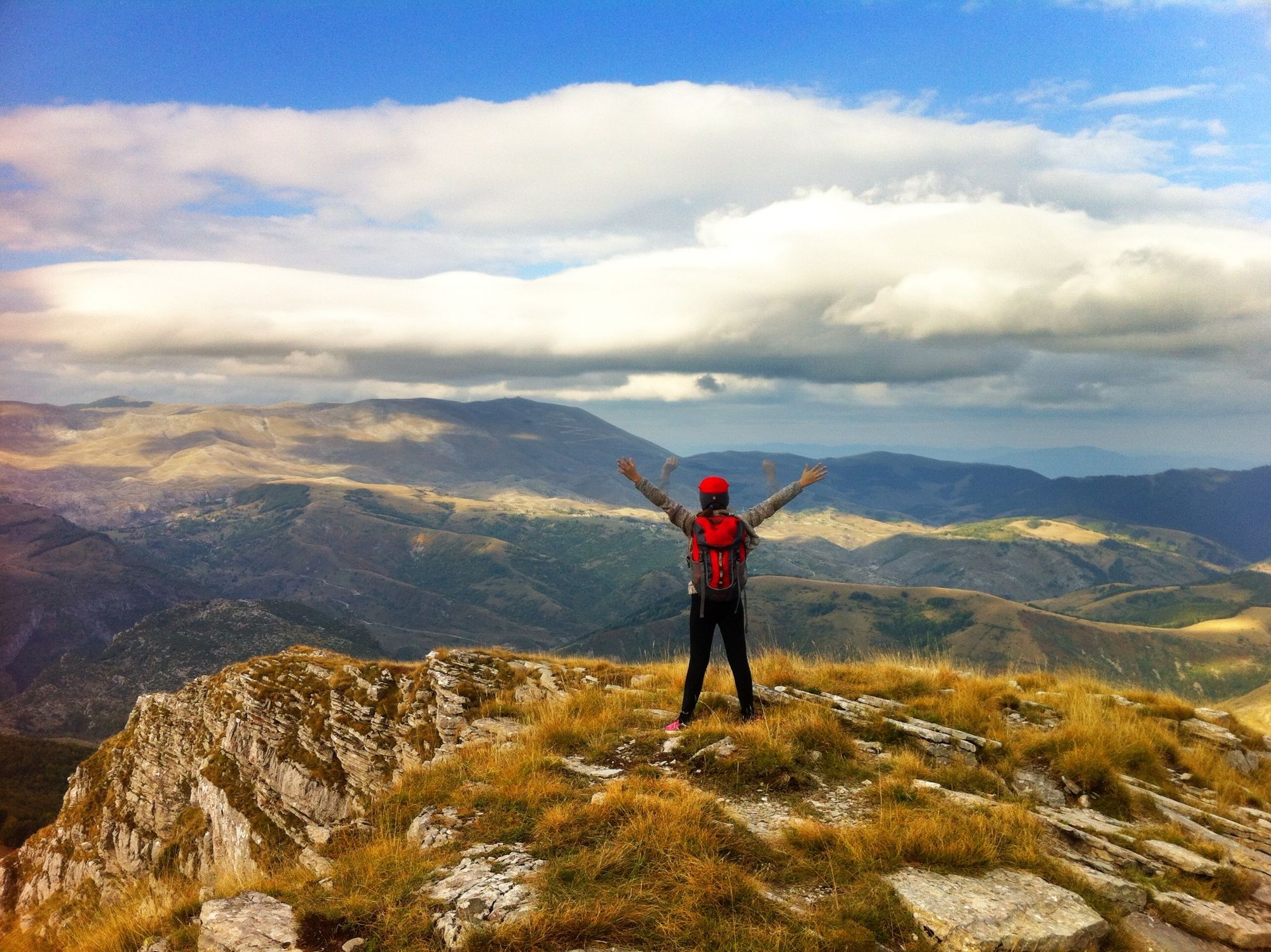
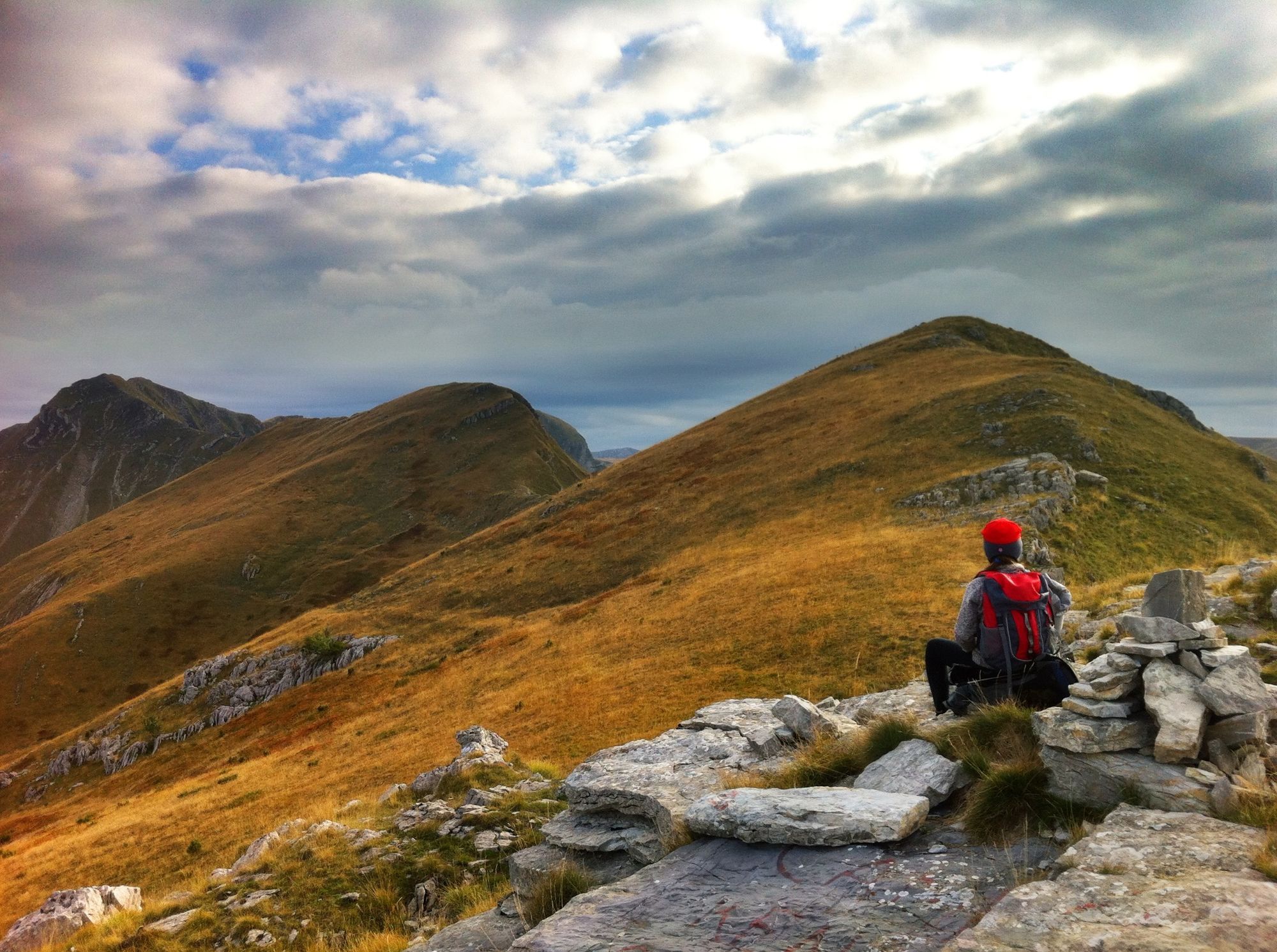
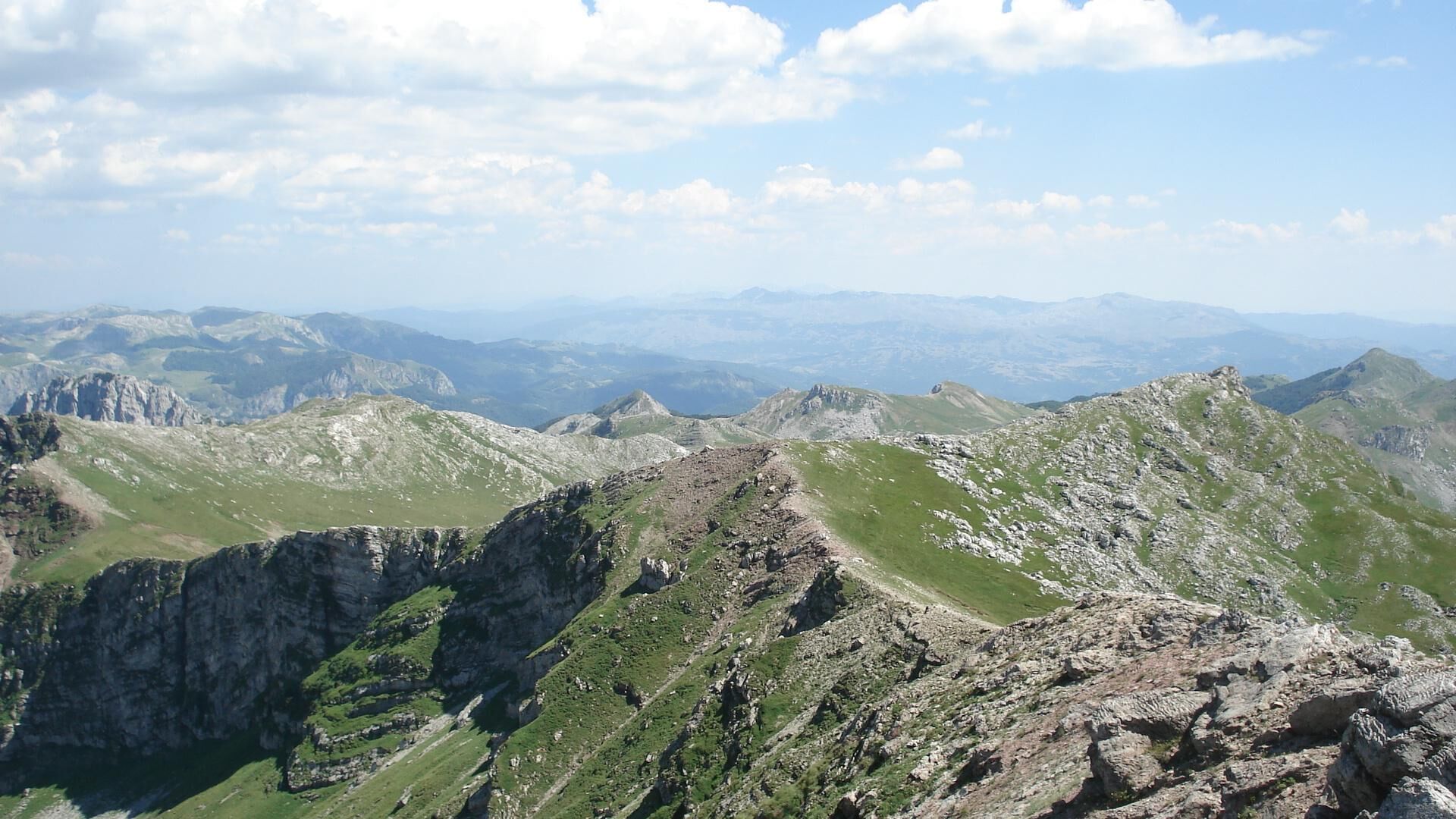
A nice trail over the attractive ridge of Drstva and Vito descending to mountain hut Tusila. It continues to Puzim pinnacle and joins a new trail through the forest to Ljuta river.
- Moeilijkheid
-
zwaar
- Waardering
-
- Route
-
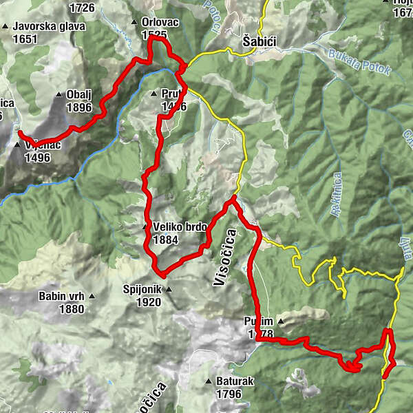
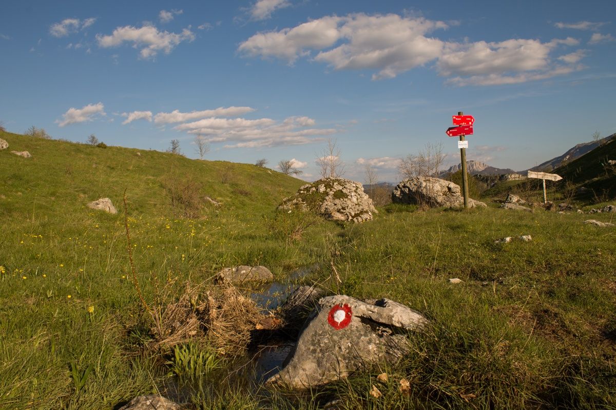
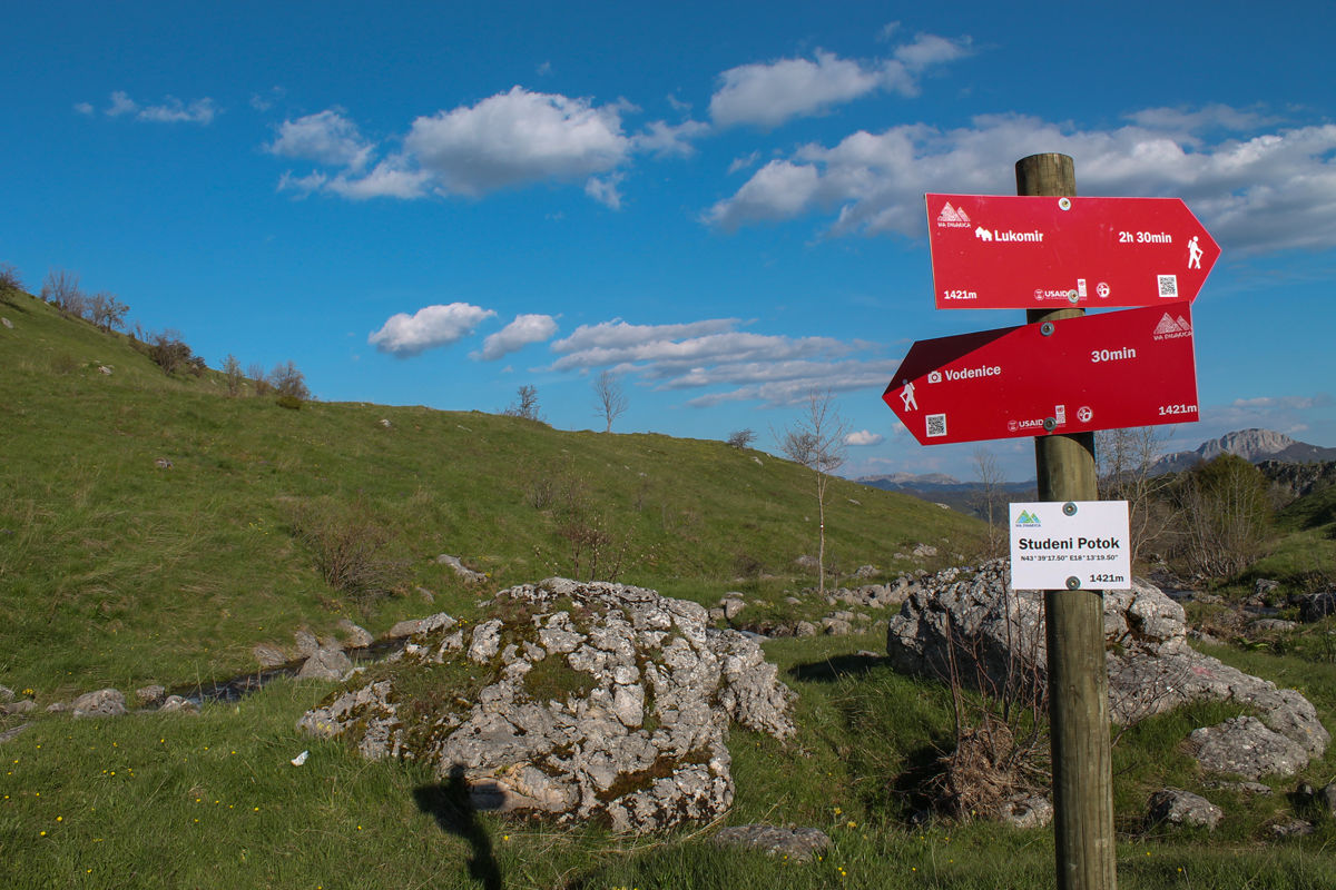
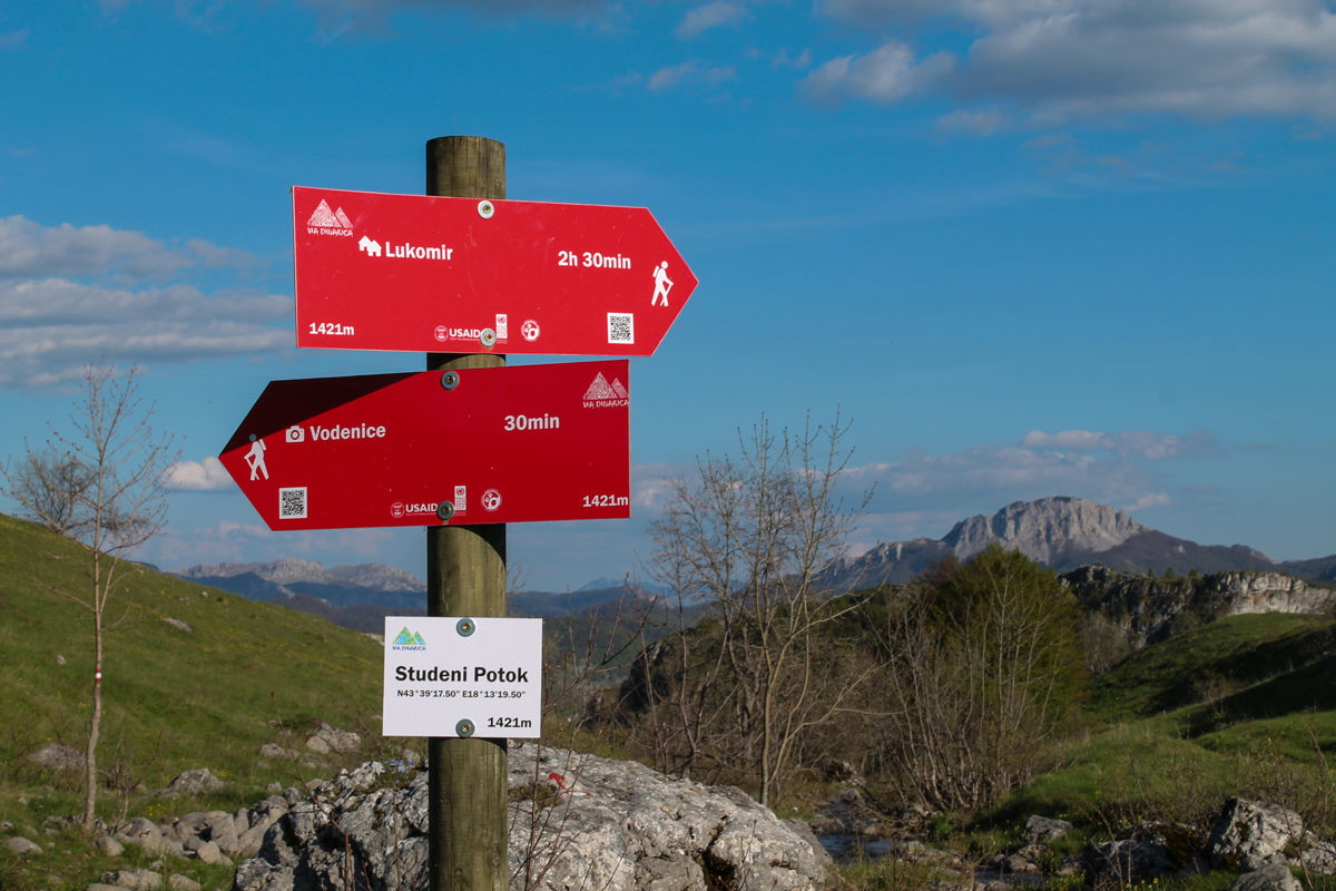
Peruce Spring1,6 kmBobovica9,7 kmDrstva (1.808 m)12,3 kmVeliko brdo (1.884 m)13,2 kmVito (1.960 m)14,3 kmRestoran Visočica18,1 kmTušila18,2 kmPlaninarski dom Vrela18,2 kmVikend Kuca Edin30,1 km
- Beste seizoen
-
janfebmrtaprmeijunjulaugsepoktnovdec
- Maximale hoogte
- 1.929 m
- Bestemming
-
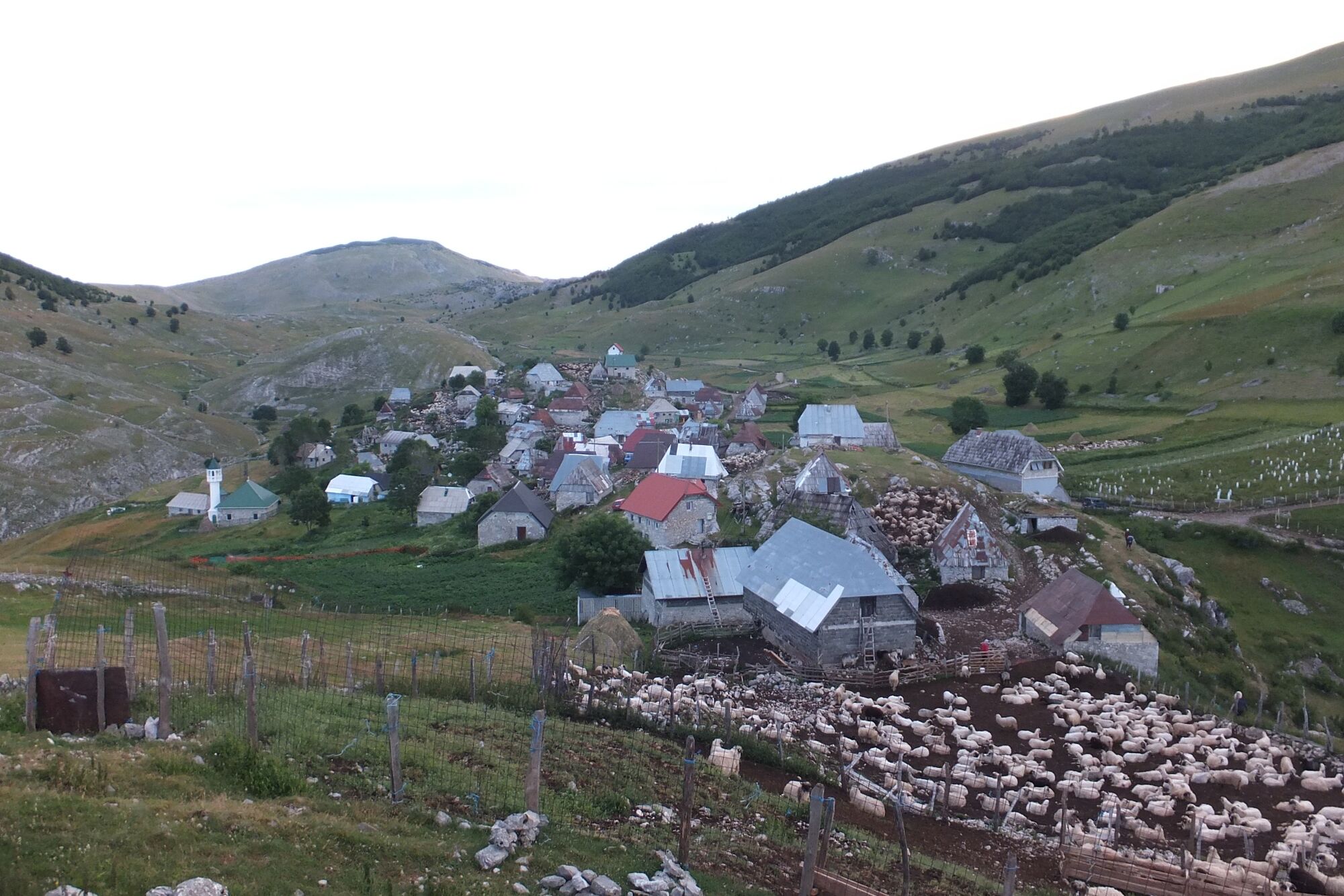
Ljuta village
- Hoogteprofiel
-
 © outdooractive.com

-

-
AuteurDe rondleiding Via Dinarica BH-W-09 Lukomir via Visočica mountain to Ljuta wordt gebruikt door outdooractive.com op.
GPS Downloads


Algemene info
Verfrissingsstop
Cultureel/Historisch
Flora
Fauna
Veelbelovend