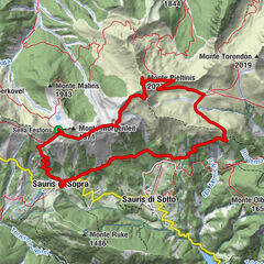
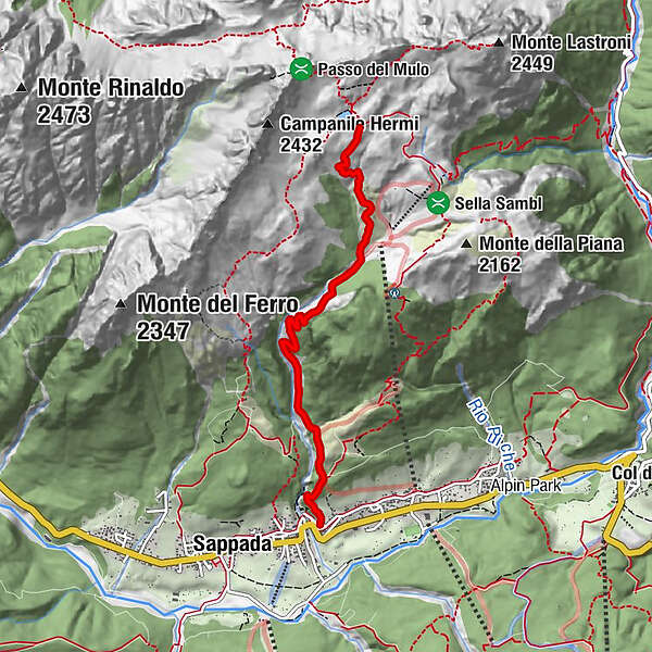
25 LAKES OF OLBE along the ski slope and path n. 135 - Sappada


© © Piller Hoffer Manuel

© © Davide Borella

© © Piller Hoffer Manuel

© © Piller Hoffer Manuel

© © Piller Hoffer Manuel

© © Piller Hoffer Manuel

© © Piller Hoffer Manuel

© © Piller Hoffer Manuel

© © Piller Hoffer Manuel

© Friuli Venezia Giulia - Giovanni Borella

- Korte beschrijving
-
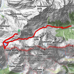
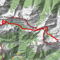
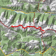
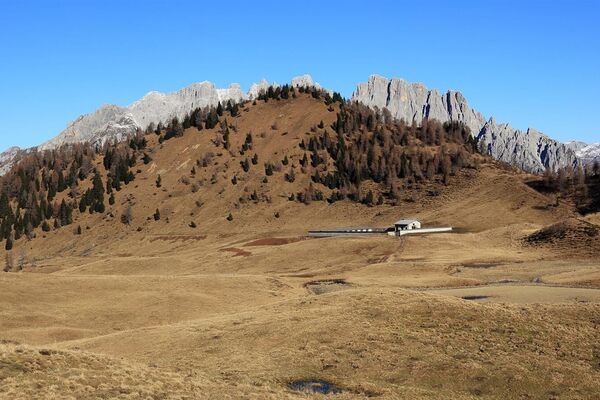
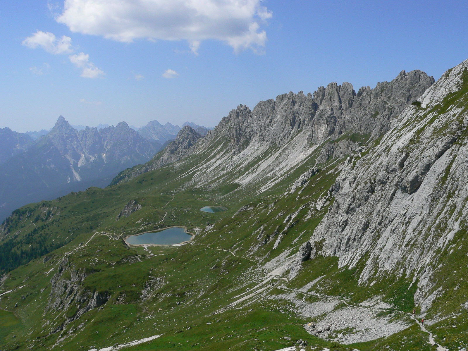
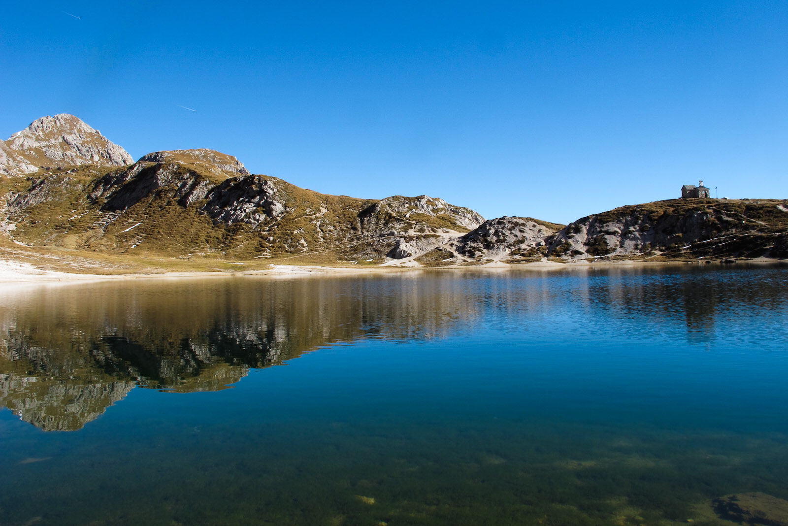
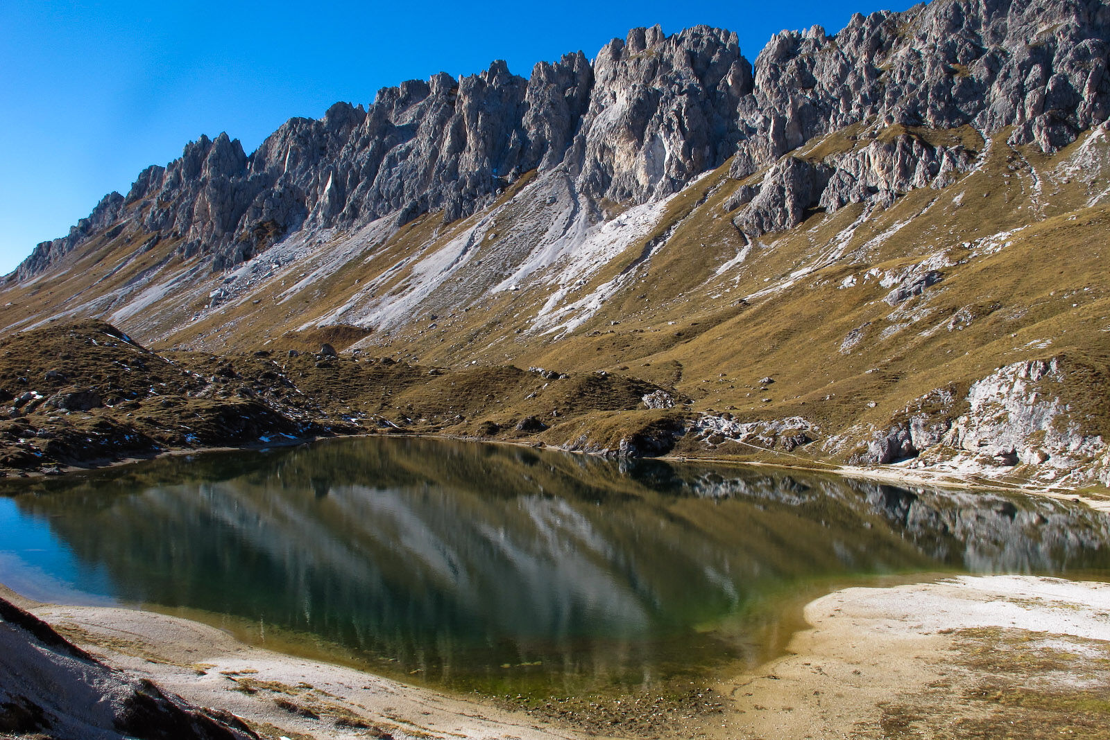
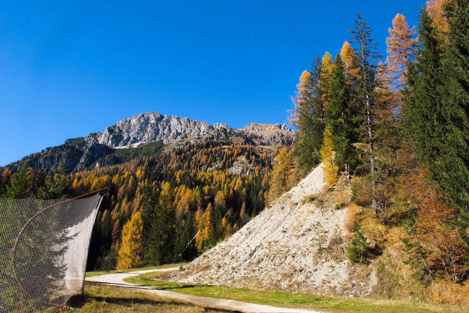
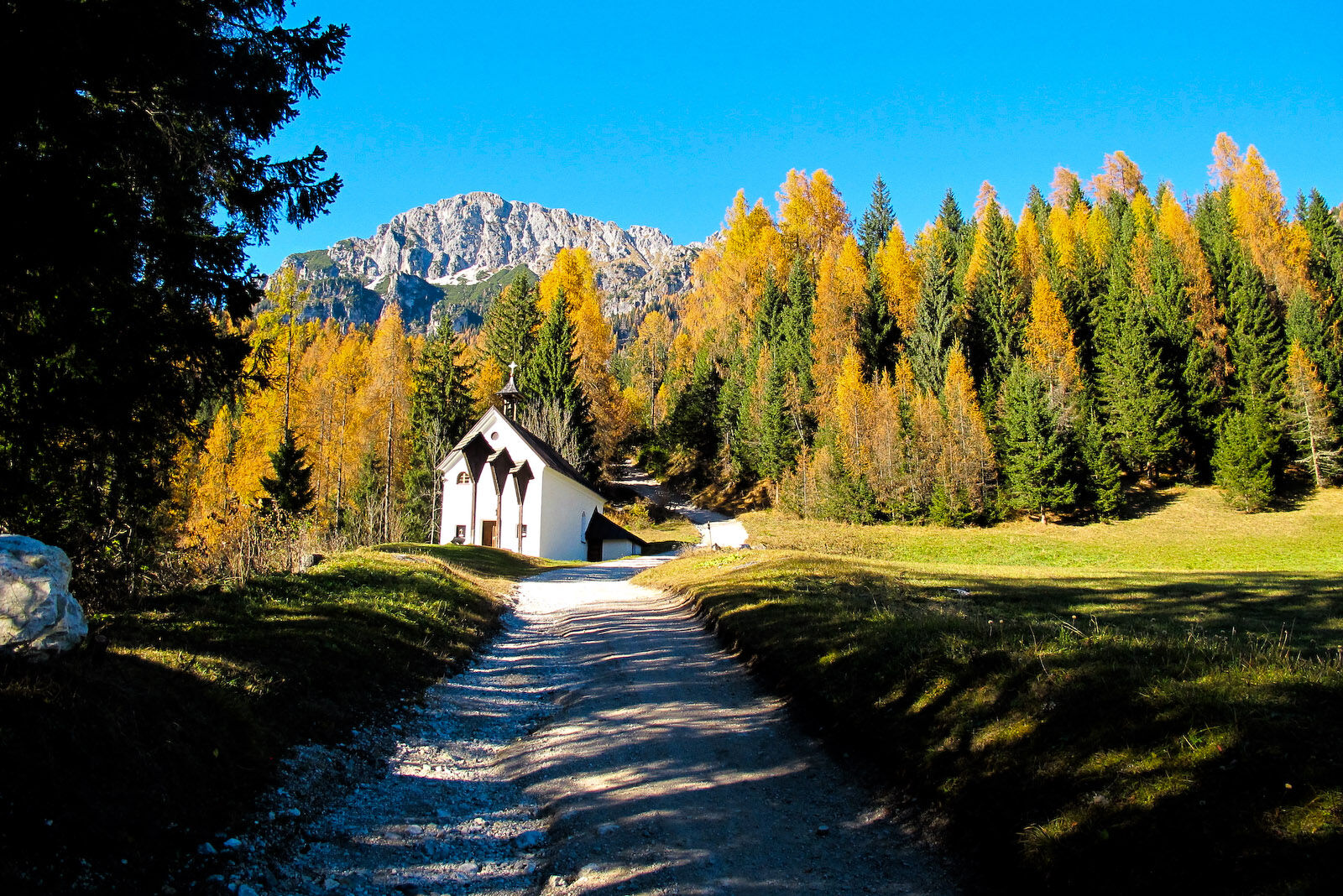
The lakes are located on the broad Olbe plateau consisting of small hillocks, large hollows and grassy terraces, under the serrated ridge of monte Righile stretching out towards monte Ferro. Their waters cover the bottom of ancient basins dating back to the last Ice Age. Of the three, the most westerly is a kind of pond, the central one is small and not very visible. The most interesting is certainly the most easterly, fairly broad and very deep, with the white pinnacles of Righile reflected in its very green waters.
- Moeilijkheid
-
medium
- Waardering
-
- Route
-
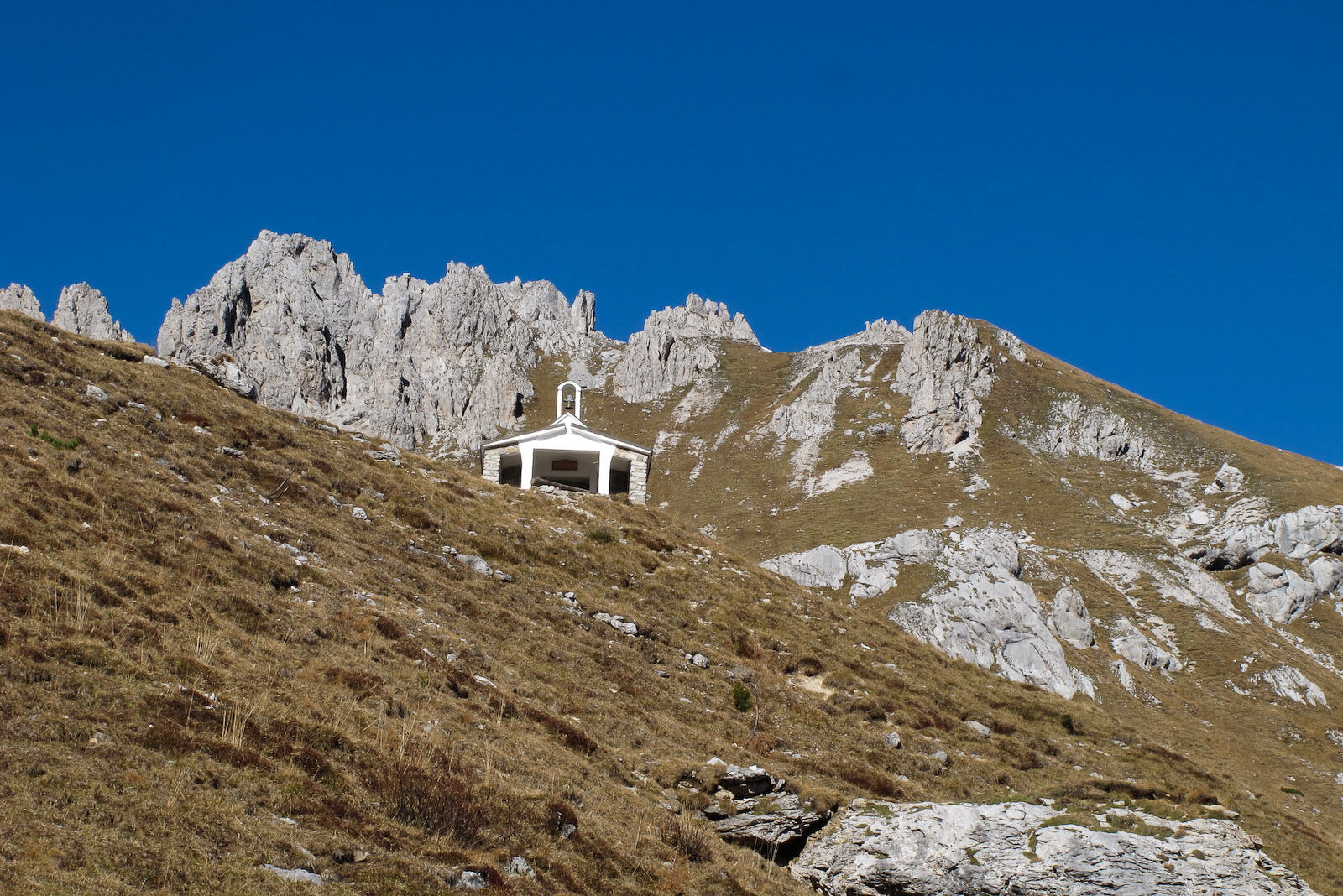
MühlbachCottern0,1 kmChiesetta del Calvario0,1 kmCascatelle0,2 km
- Beste seizoen
-
janfebmrtaprmeijunjulaugsepoktnovdec
- Maximale hoogte
- 2.132 m
- Bestemming
-
Laghi d'Olbe
- Hoogteprofiel
-
 © outdooractive.com


-

-
AuteurDe rondleiding 25 LAKES OF OLBE along the ski slope and path n. 135 - Sappada wordt gebruikt door outdooractive.com op.
GPS Downloads


Meer rondleidingen in de regio's
-
Val Comelico - Sappada
465
-
Forni Avoltri
113