© Friuli Venezia Giulia - Davide Borella

© Friuli Venezia Giulia - Giovanni Borella

© Friuli Venezia Giulia - Giovanni Borella

© Friuli Venezia Giulia - Giovanni Borella

© Friuli Venezia Giulia - Giovanni Borella

© Friuli Venezia Giulia - Giovanni Borella

© Friuli Venezia Giulia - Giovanni Borella

- Korte beschrijving
-
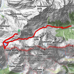
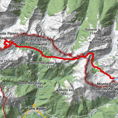
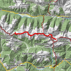
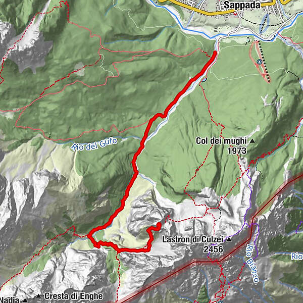
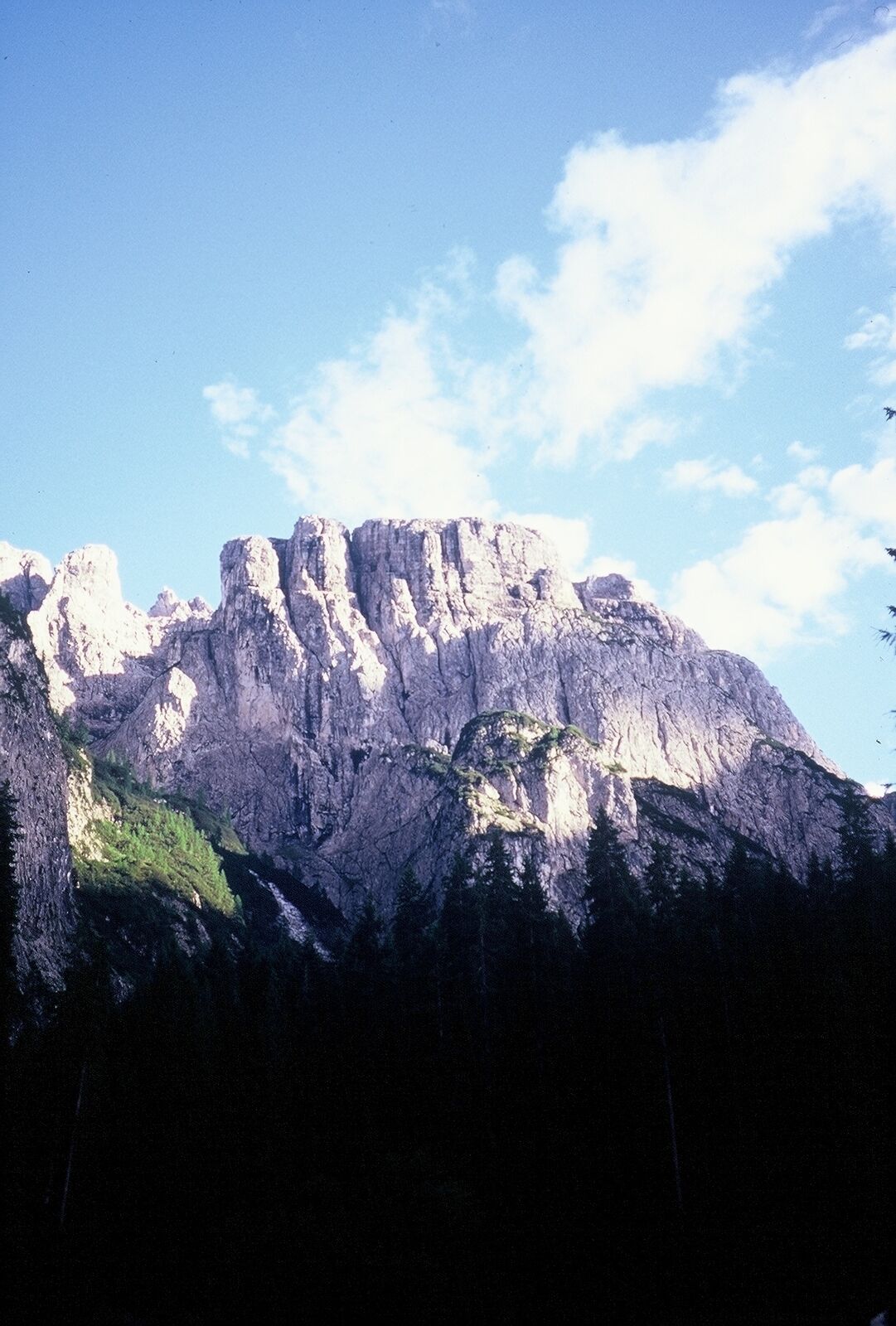
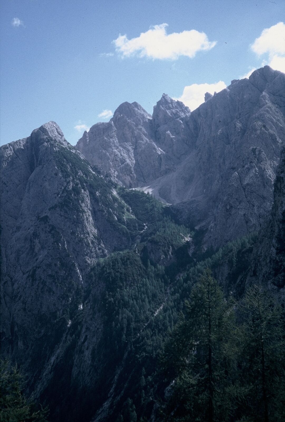
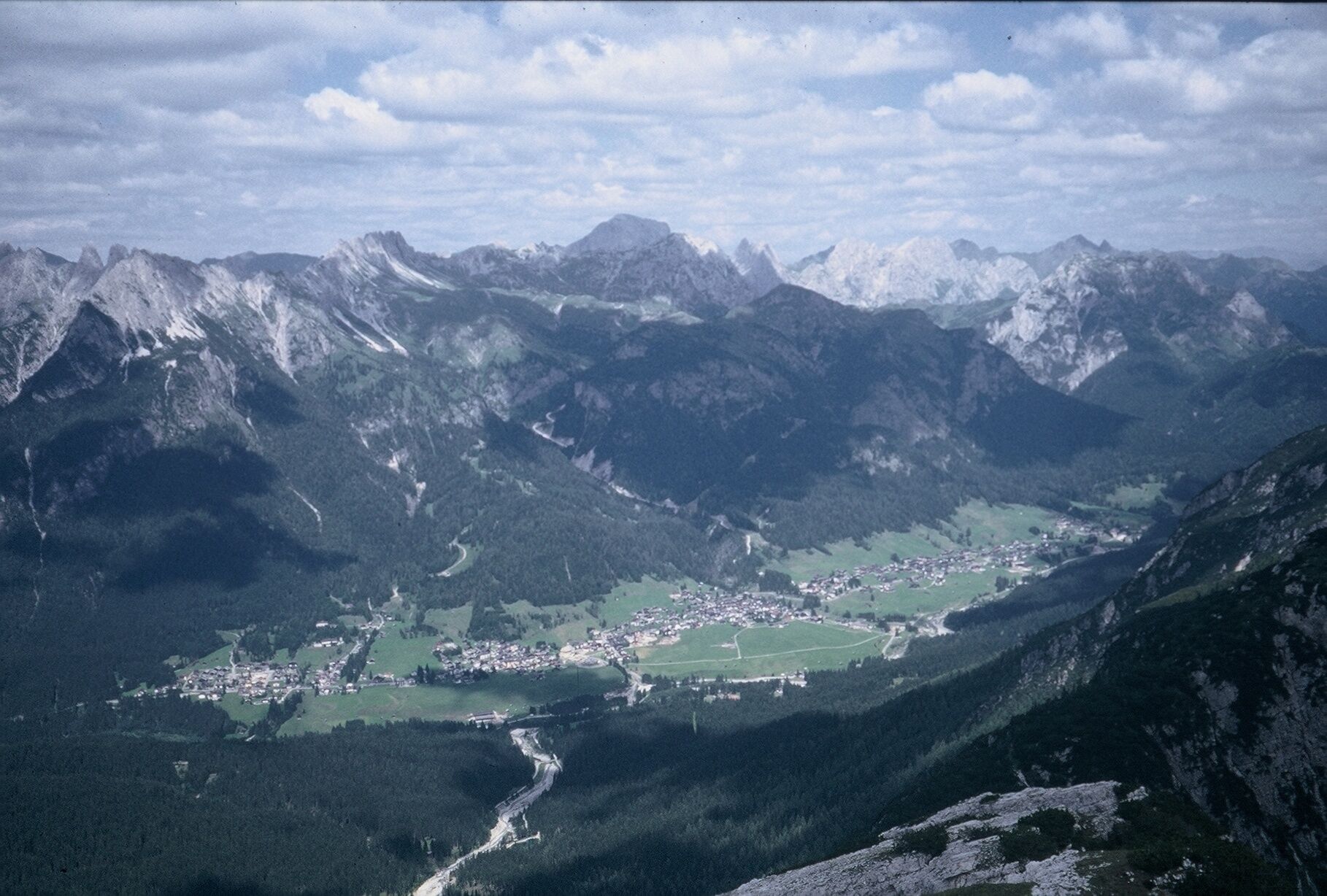
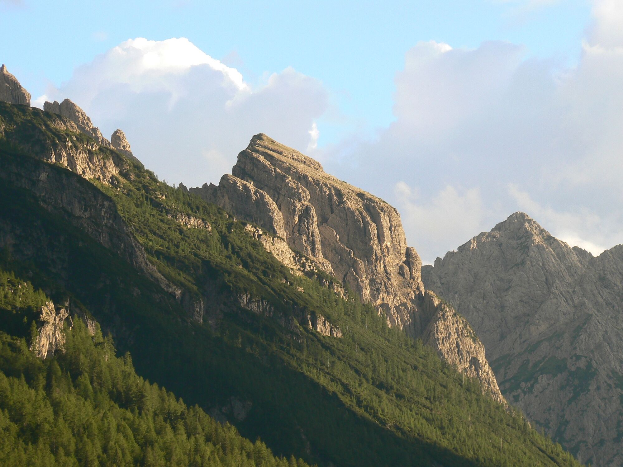
Monte Hoberdeirer, which dominates the long valley of the rio Enghe with a complex vertical wall rises between the Cadin di Elbel and the Cadin di Dentro while to the south it is closed off by the peaks of the western group of the Clap (Creton di Clap Piccolo and the pinnacles of Elbel)
- Moeilijkheid
-
zwaar
- Waardering
-
- Route
-
Dopo il ponte1,6 kmMonte Hoberdeirer (2.206 m)6,8 km
- Beste seizoen
-
janfebmrtaprmeijunjulaugsepoktnovdec
- Maximale hoogte
- 2.131 m
- Bestemming
-
Monte Hoberdeirer
- Hoogteprofiel
-
 © outdooractive.com

-

-
AuteurDe rondleiding 14 MONTE HOBERDEIRER - Sappada wordt gebruikt door outdooractive.com op.
GPS Downloads


Meer rondleidingen in de regio's