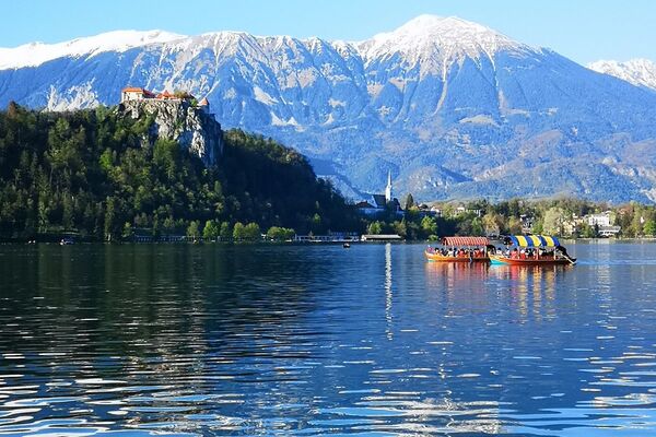
© Turizem Bohinj - Mojca Odar

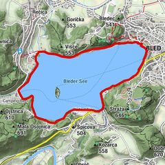
© Turizem Bohinj - Mitja Sodja

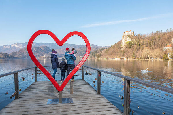
© Turizem Bohinj - Mitja Sodja

© Turizem Bohinj - Mitja Sodja

© Turizem Bohinj - Peter Strgar

© Turizem Bohinj - Mitja Sodja

© Turizem Bohinj - Mitja Sodja

© Turizem Bohinj - Mitja Sodja

© Turizem Bohinj - Mitja Sodja


- Korte beschrijving
-
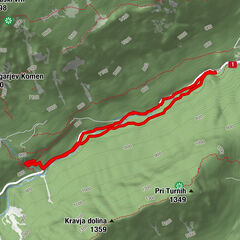
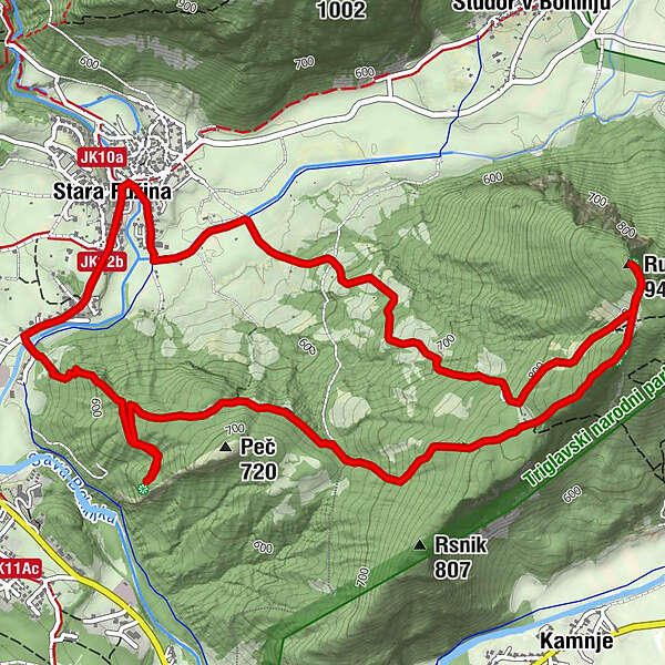
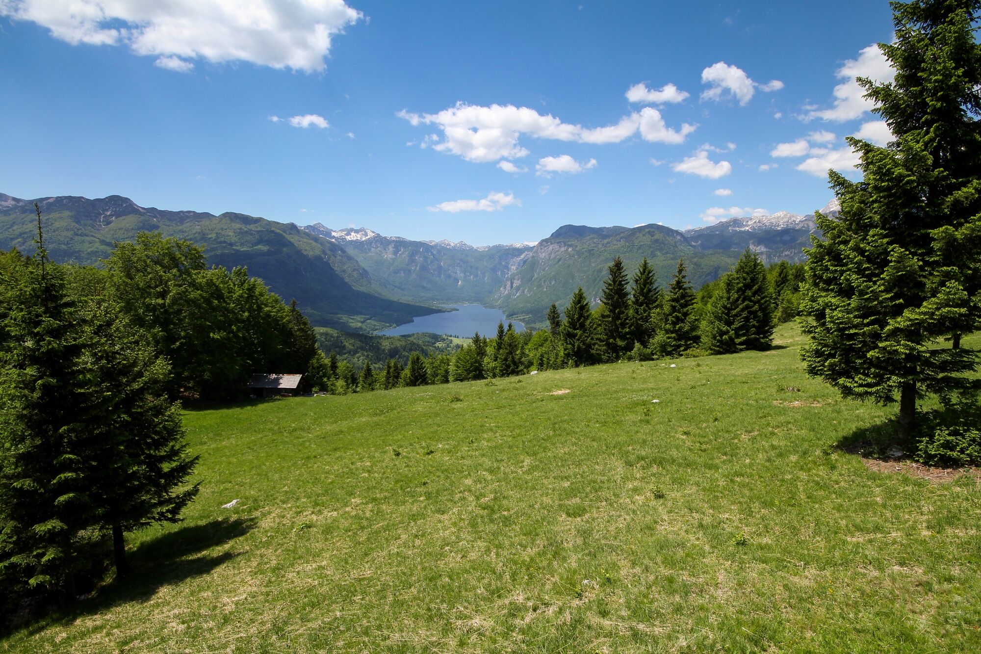
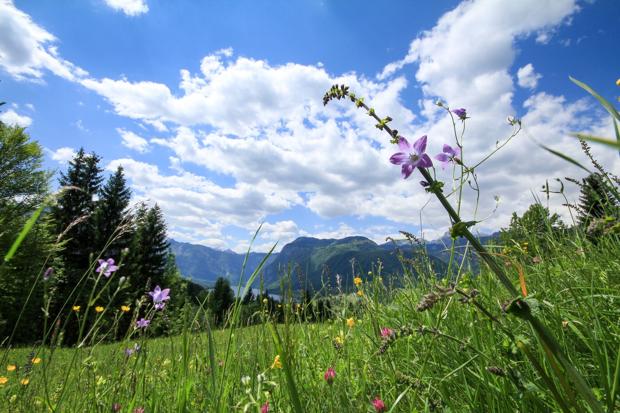
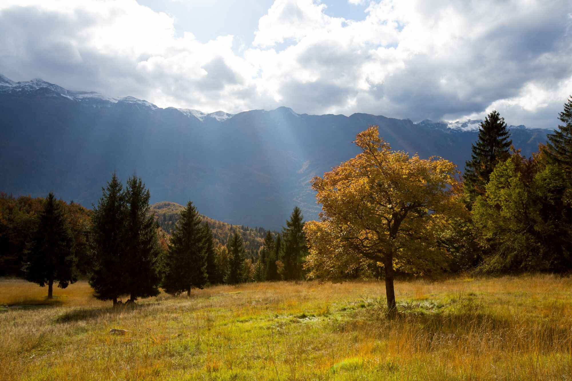
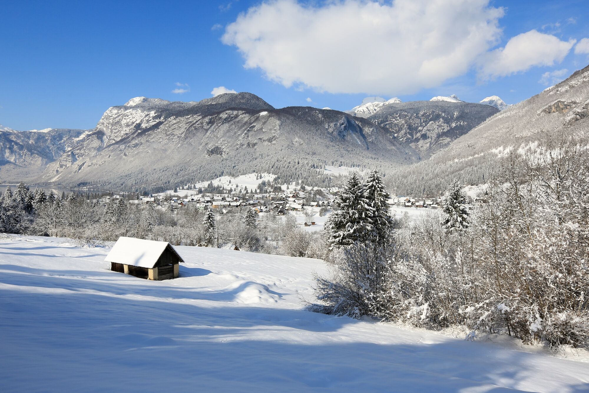
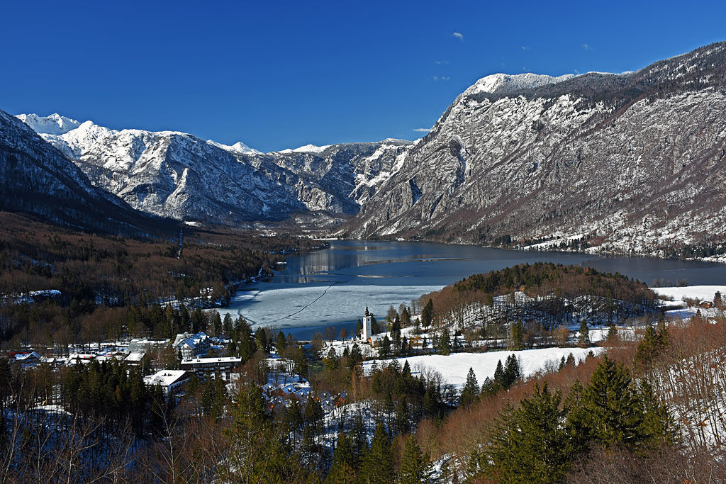
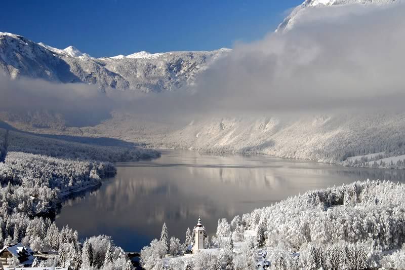
Many points along the circular trail to the top of Rudnica offer views of almost all corners of Bohinj and the surrounding mountains. Rudnica separates Bohinj in the Lower and Upper Bohinj Valleys.
- Moeilijkheid
-
medium
- Waardering
-
- Route
-
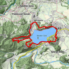
AlthammerRudnica (946 m)4,8 kmGostilna Mihovc7,9 kmAlthammer8,1 km
- Beste seizoen
-
janfebmrtaprmeijunjulaugsepoktnovdec
- Maximale hoogte
- 939 m
- Bestemming
-
Rudnica
- Hoogteprofiel
-
 © outdooractive.com


- Auteur
-
De rondleiding Peč and Rudnica from Stara Fužina wordt gebruikt door outdooractive.com op.
GPS Downloads


Algemene info
Cultureel/Historisch
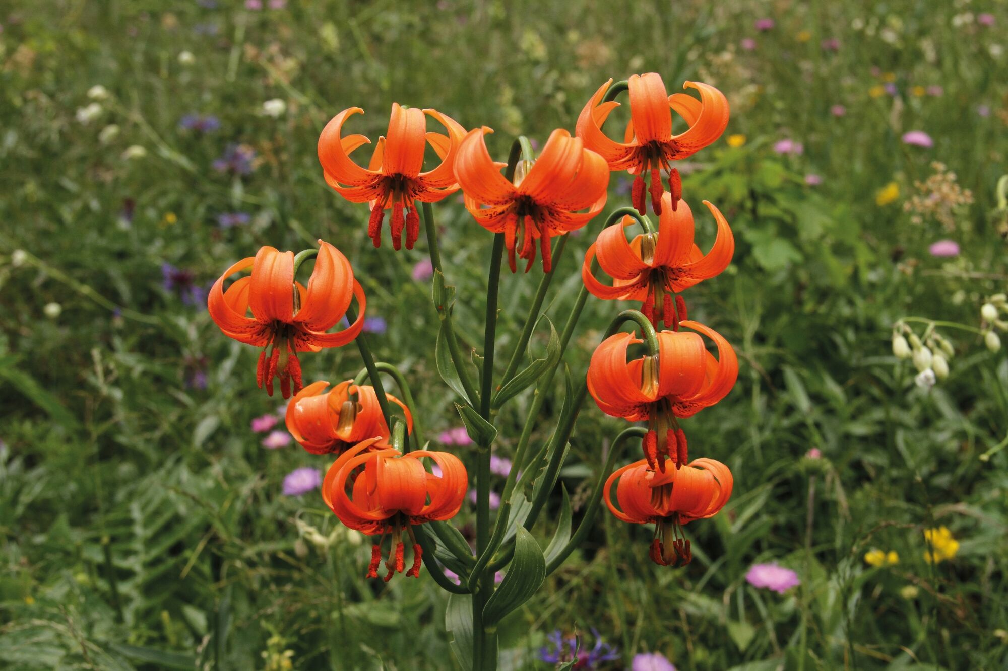
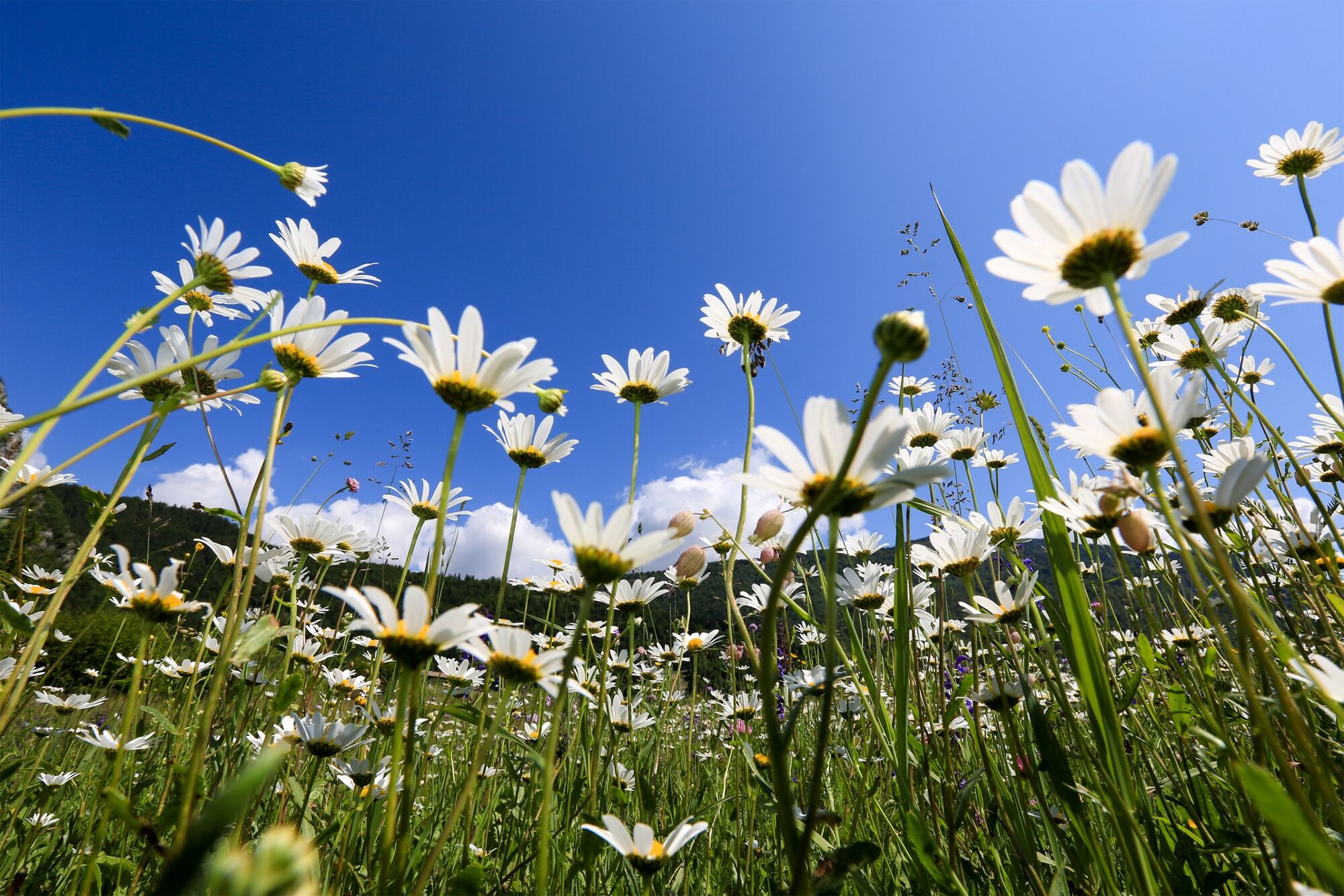
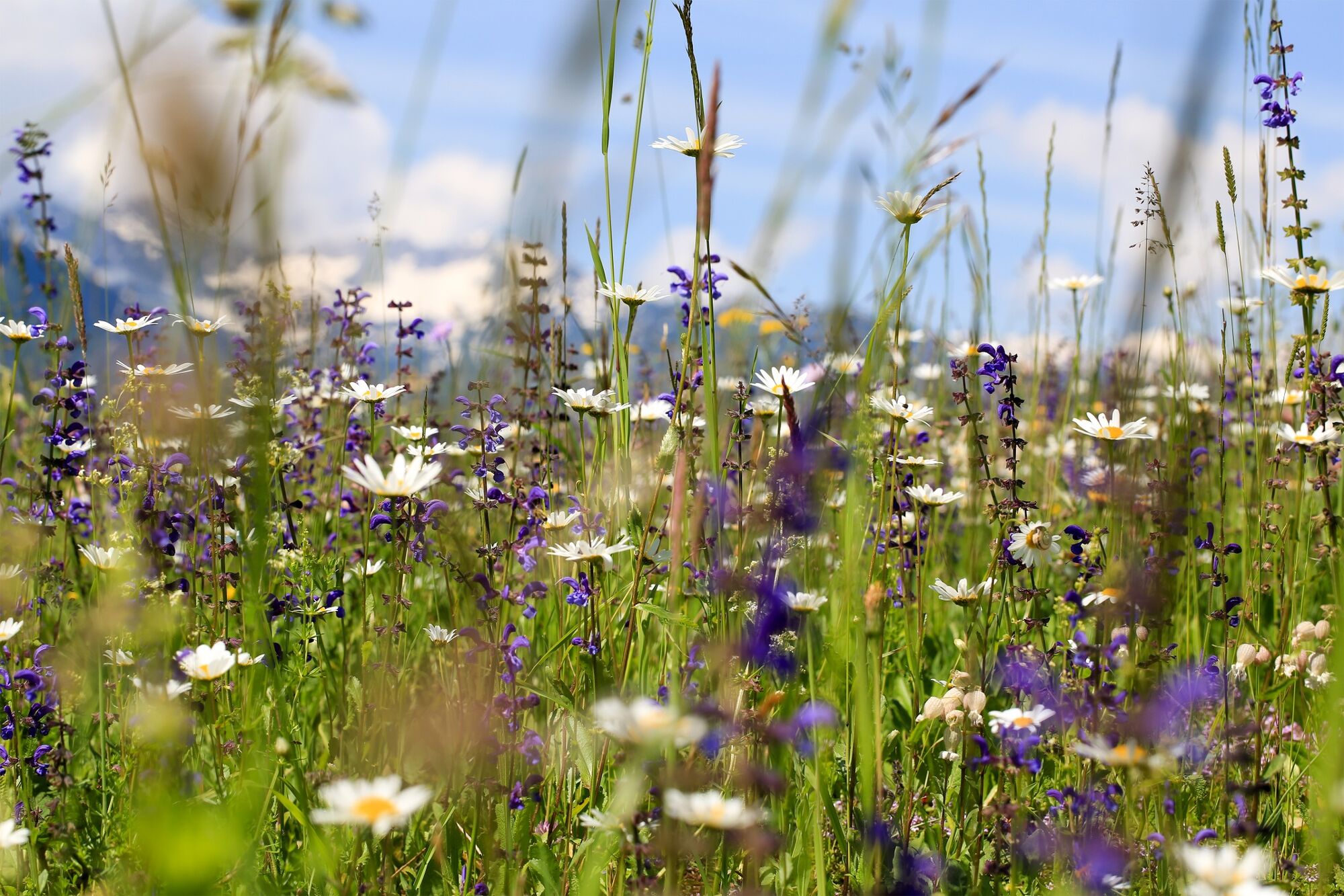
Flora
Veelbelovend
Meer rondleidingen in de regio's
-
Bohinj
121