
© TD Bohinjska Bela
© TD Bohinjska Bela
© TD Bohinjska Bela
© TD Bohinjska Bela
© TD Bohinjska Bela


- Korte beschrijving
-
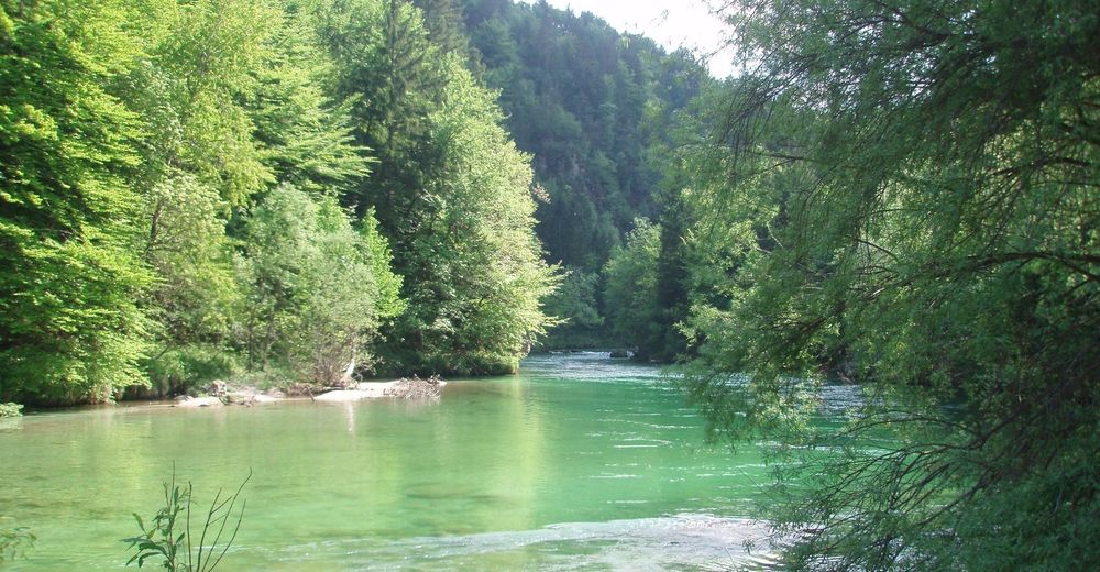
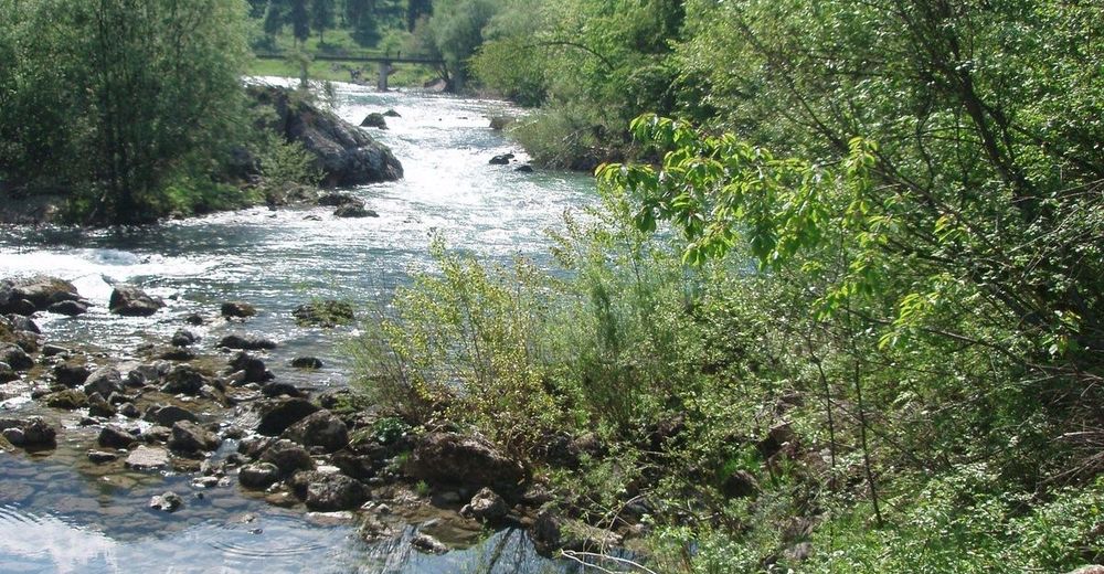
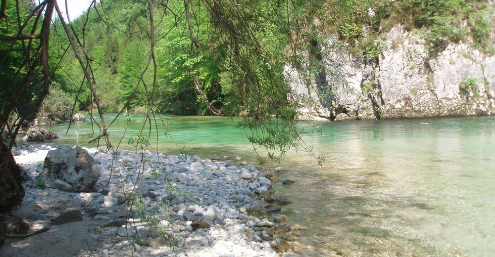
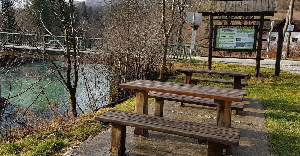
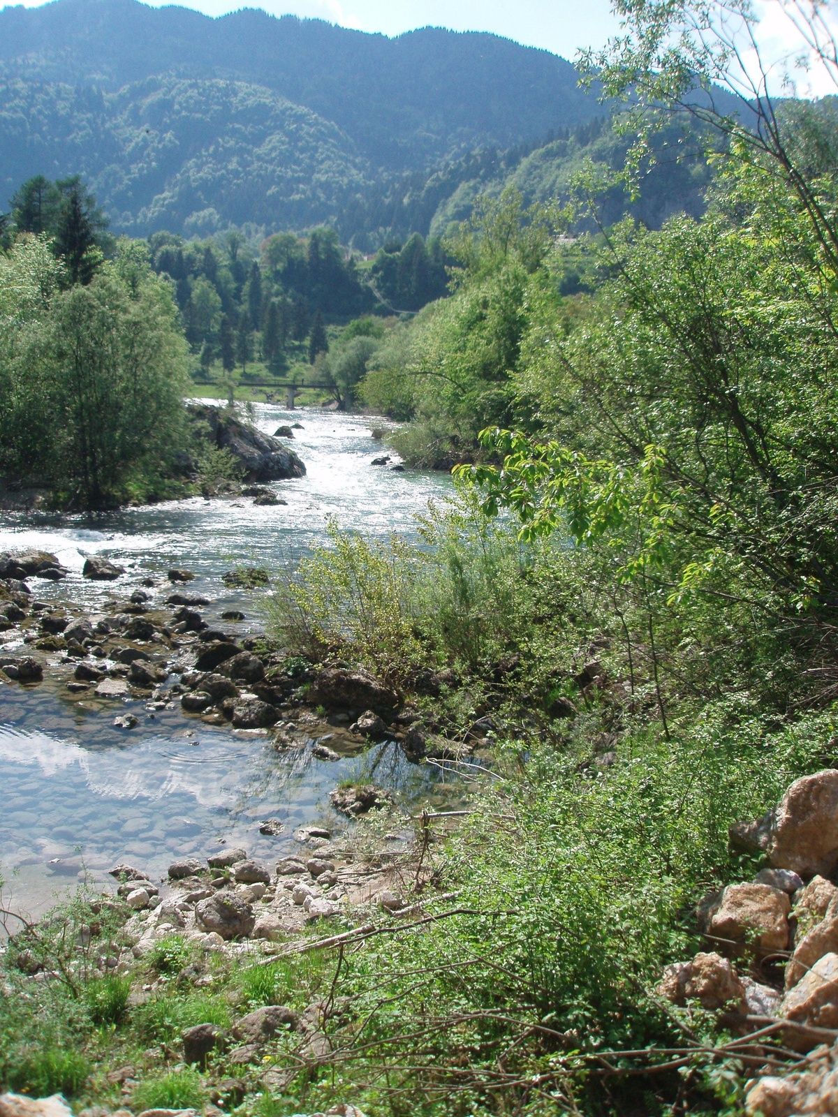
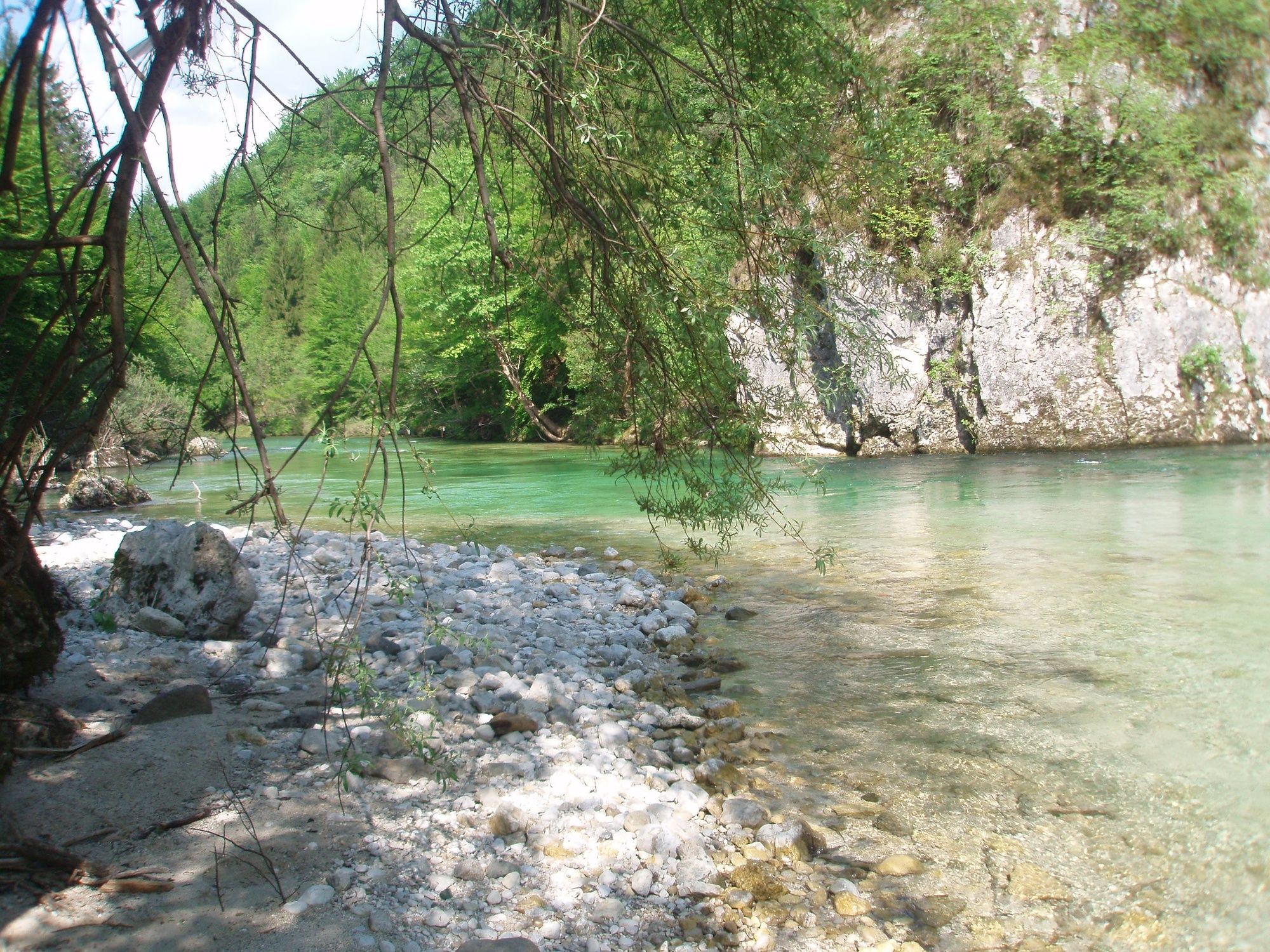
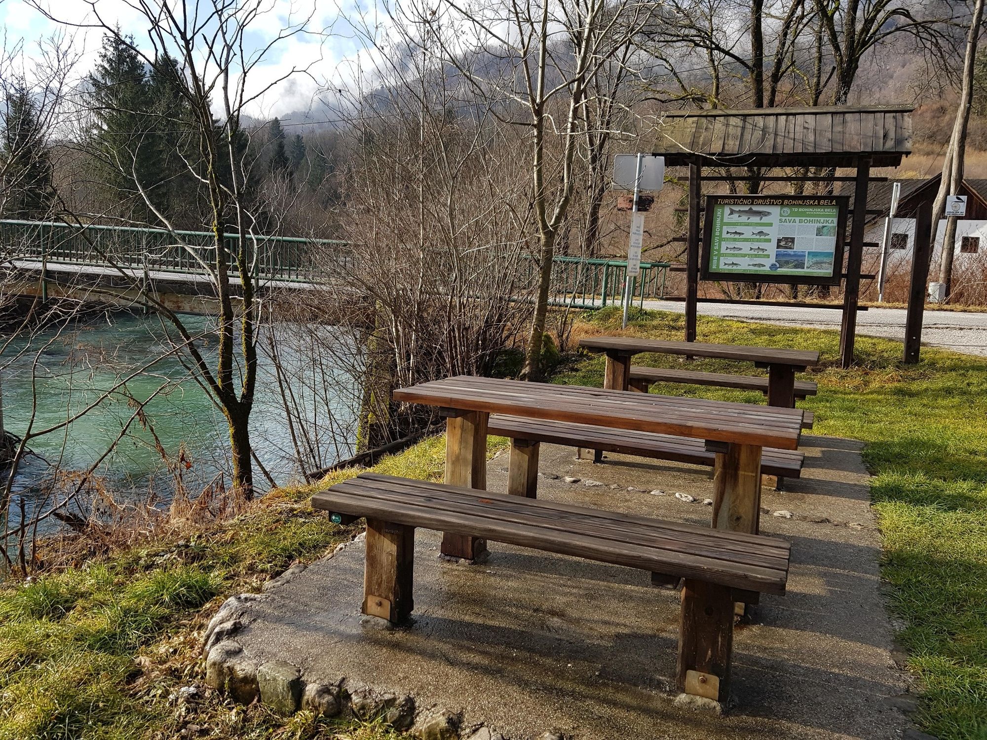
This is an easy walking path and combines two different aspects of the trail. The first part follows the Roja brook, and the second part follows the stream of the Sava Bohinjka River across the meadows in unspoiled nature.
- Moeilijkheid
-
gemakkelijk
- Waardering
-
- Route
-
Bohinjska Bela3,1 km
- Beste seizoen
-
janfebmrtaprmeijunjulaugsepoktnovdec
- Maximale hoogte
- 483 m
- Bestemming
-
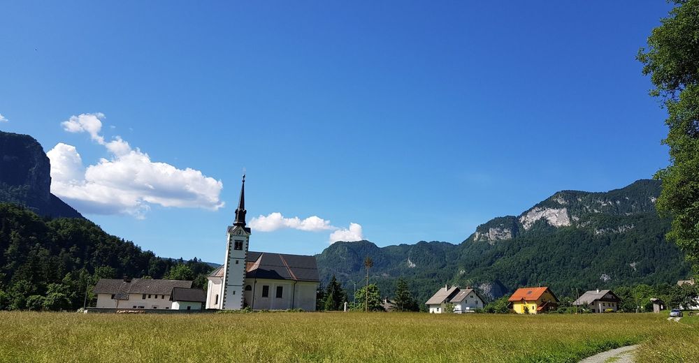
Heart of the village of Bohinjska Bela (488m).
- Hoogteprofiel
-
 © outdooractive.com


- Auteur
-
De rondleiding Podroje – along the Sava River wordt gebruikt door outdooractive.com op.
GPS Downloads


Algemene info
Helende klimaat
Flora
Fauna
Veelbelovend
Meer rondleidingen in de regio's
-
Wörthersee - Rosental
1949
-
Gorenjska
141
-
Bled
209


