- Korte beschrijving
-
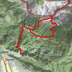
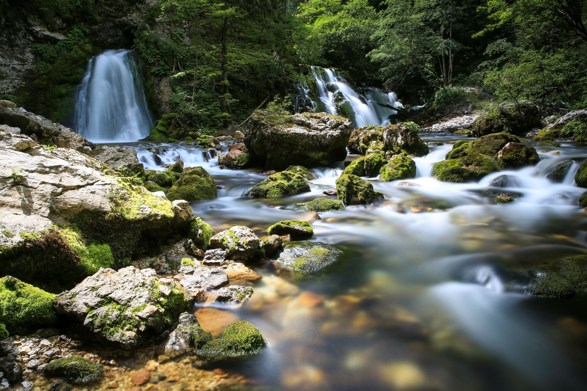
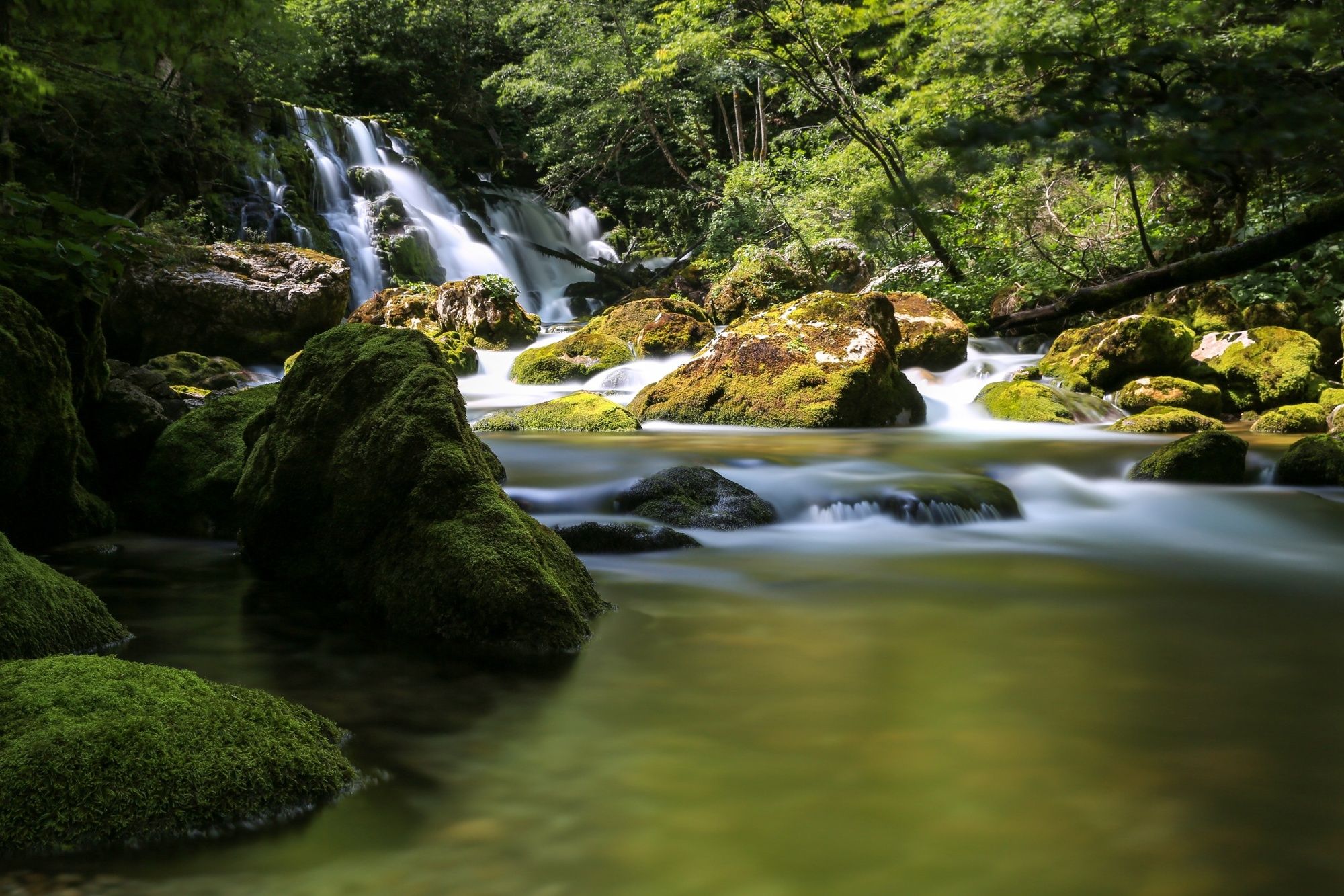
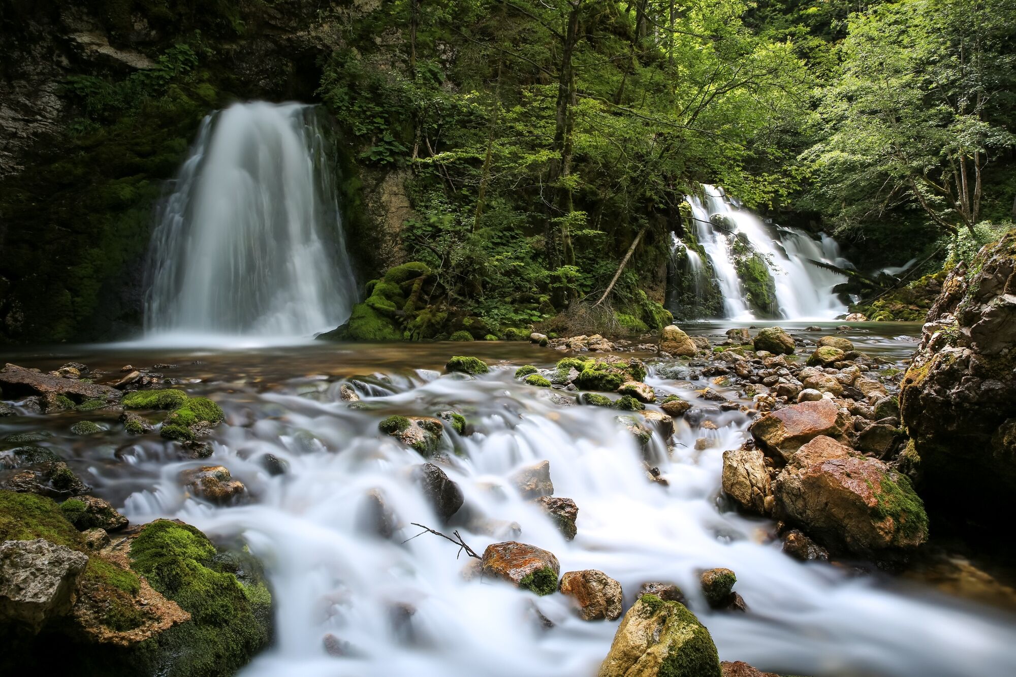
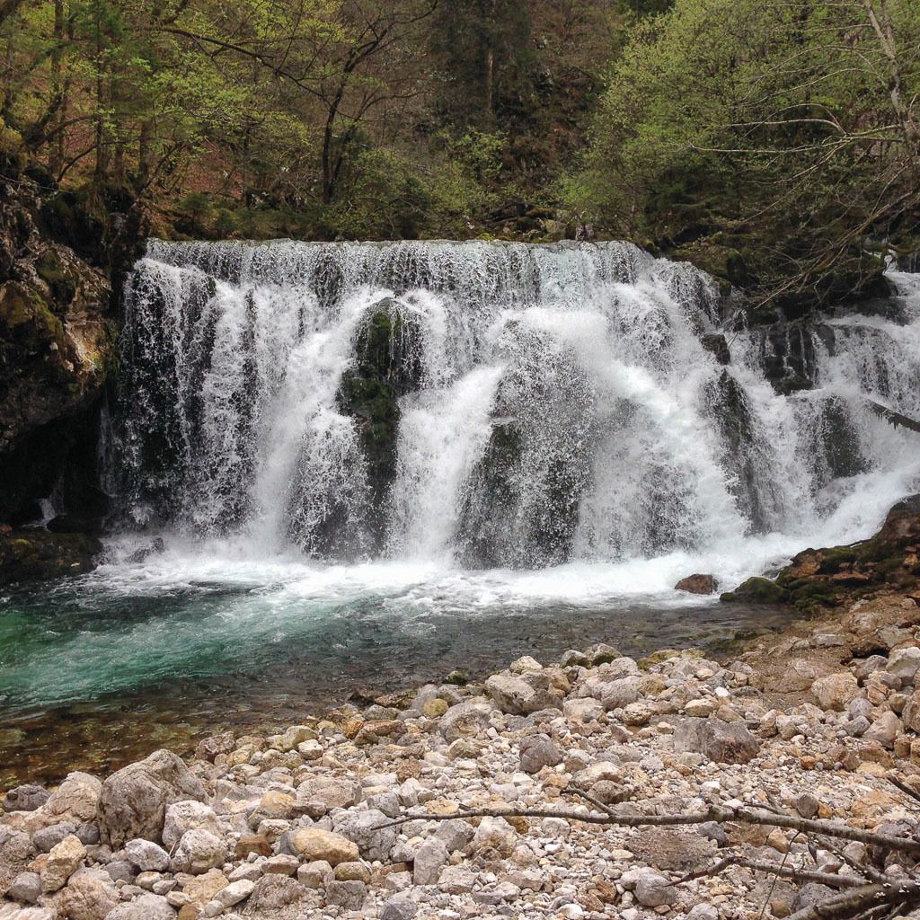
Bistrica with the Pod Luknjo spring is the strongest influx to the Sava Bohinjka River. The waterfall has quite a large volume after extensive rainfall.
- Moeilijkheid
-
medium
- Waardering
-
- Route
-
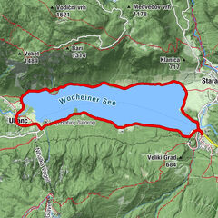
Wochein Feistritz0,2 kmWochein Feistritz8,2 km
- Beste seizoen
-
janfebmrtaprmeijunjulaugsepoktnovdec
- Maximale hoogte
- 671 m
- Bestemming
-
Bohinj TIC, Bohinjska Bistrica
- Hoogteprofiel
-
 © outdooractive.com

- Auteur
-
De rondleiding Circular trail to Bistrica Spring wordt gebruikt door outdooractive.com op.
GPS Downloads


Algemene info
Flora
Veelbelovend
Meer rondleidingen in de regio's