© Turizem Dolina Soce - Janko Humar

© Turizem Dolina Soce - Janko Humar

© Turizem Dolina Soce - Janko Humar

© Turizem Dolina Soce - Janko Humar

© Turizem Dolina Soce - Janko Humar

© Turizem Dolina Soce - Janko Humar

© Turizem Dolina Soce - Janko Humar

© Turizem Dolina Soce - Janko Humar

© Turizem Dolina Soce - Janko Humar

© Turizem Dolina Soce - Janko Humar

- Korte beschrijving
-
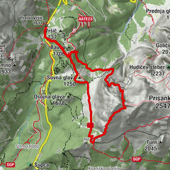
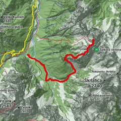
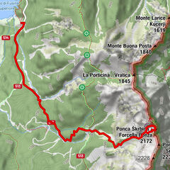
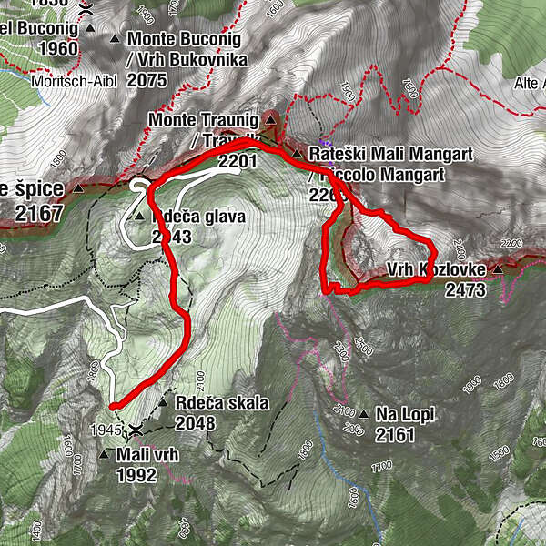
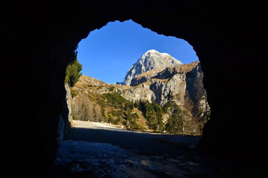
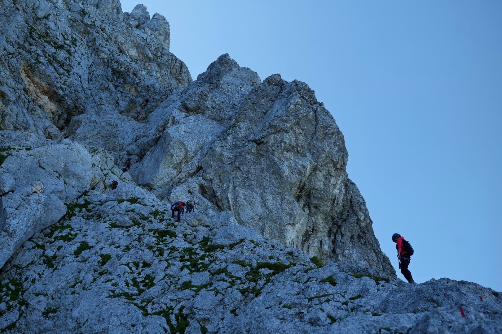
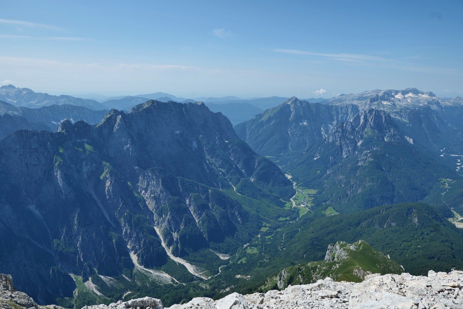
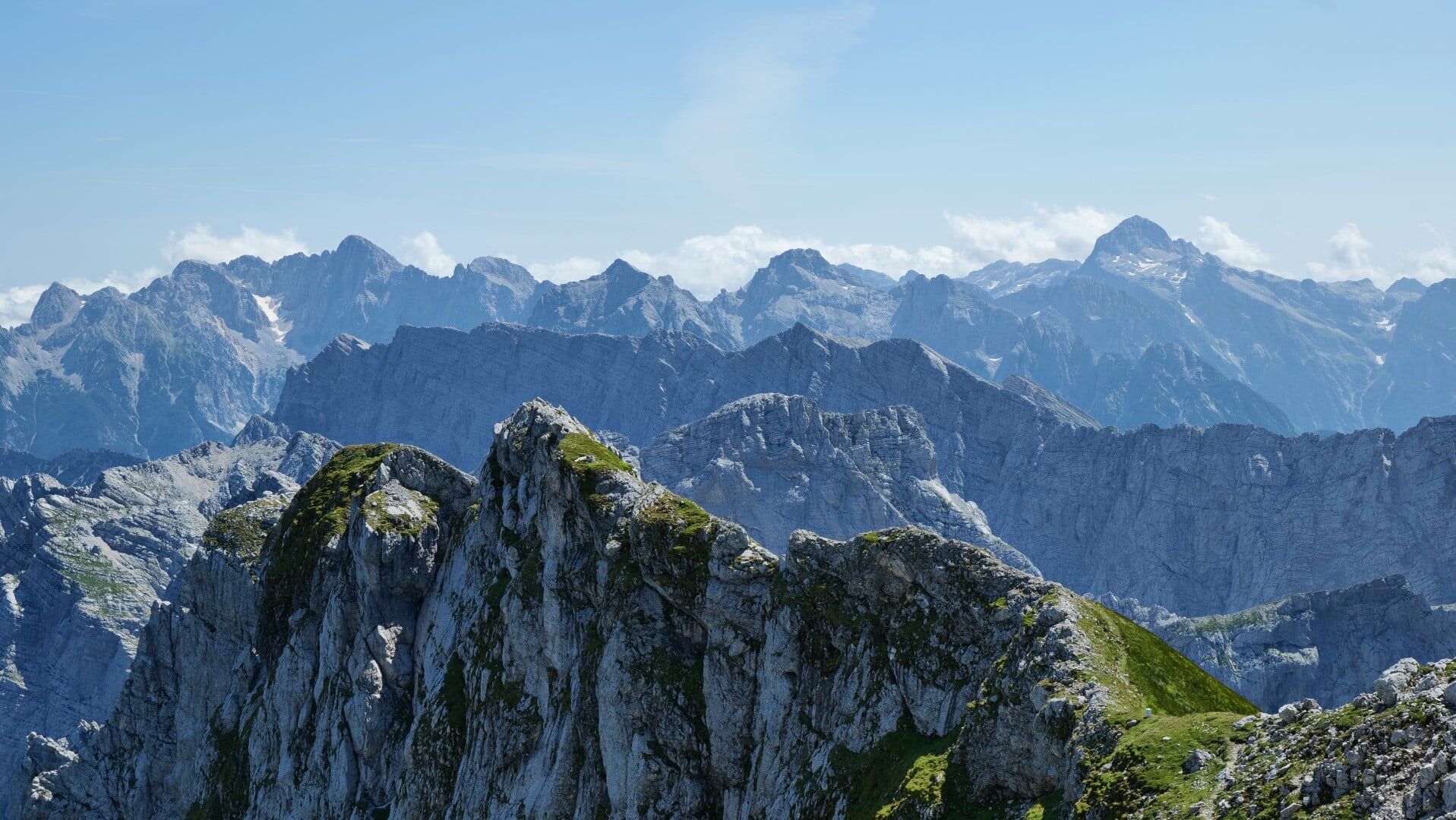
A moderately difficult equipped mountain trail to the third highest Slovenian mountain follows a transverse couloir which cuts the entire western face from bottom to top.
- Moeilijkheid
-
medium
- Waardering
-
- Route
-
Na Drni (2.527 m)3,0 kmMangart (2.679 m)3,3 kmKleiner Mangart (2.263 m)4,8 km
- Beste seizoen
-
janfebmrtaprmeijunjulaugsepoktnovdec
- Maximale hoogte
- 2.627 m
- Bestemming
-
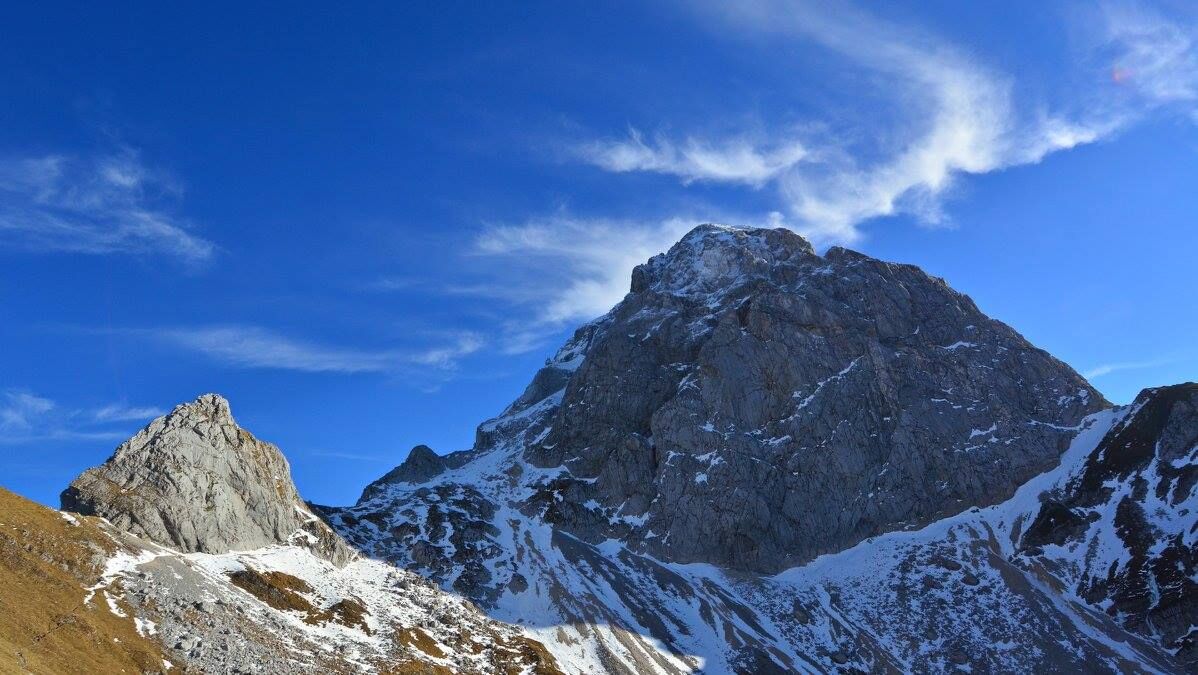
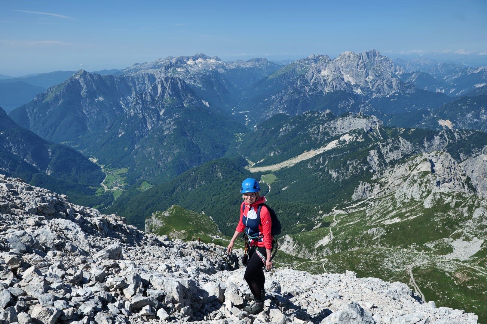
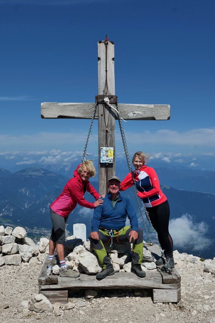
Mangart (2679 m)
- Exposition
- Hoogteprofiel
-
 © outdooractive.com


-

-
AuteurDe rondleiding Mangart (2679 m), The Slovenian route wordt gebruikt door outdooractive.com op.
GPS Downloads


Algemene info
Tip voor insiders
Veelbelovend
Meer rondleidingen in de regio's