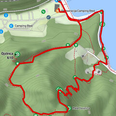
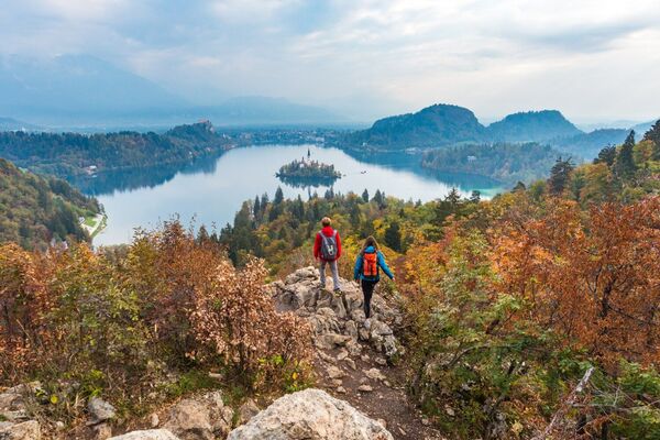
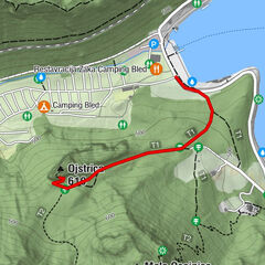
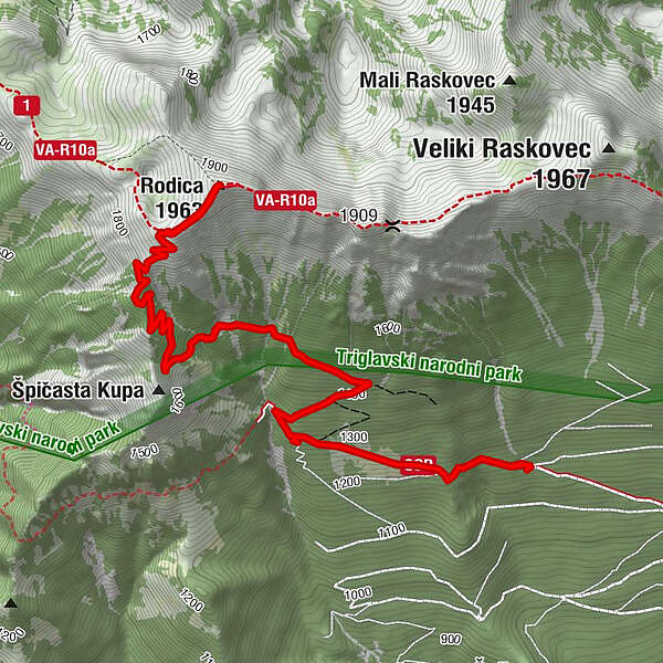
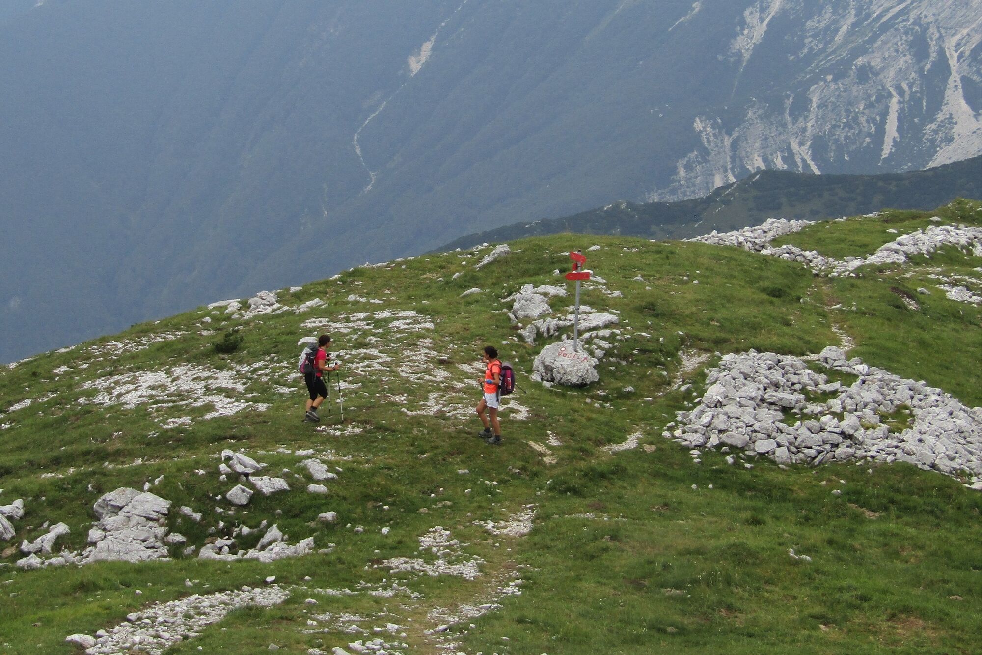
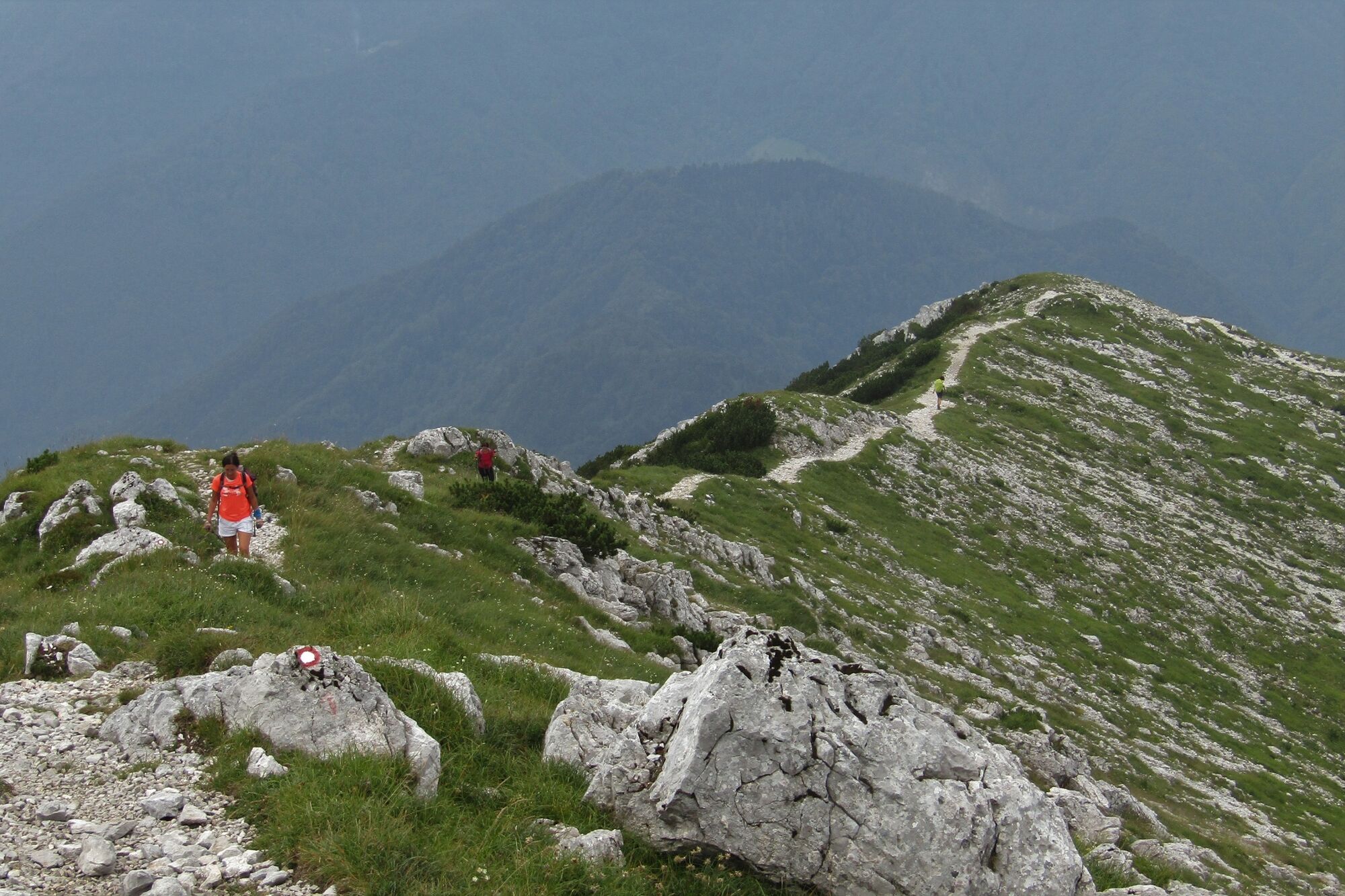
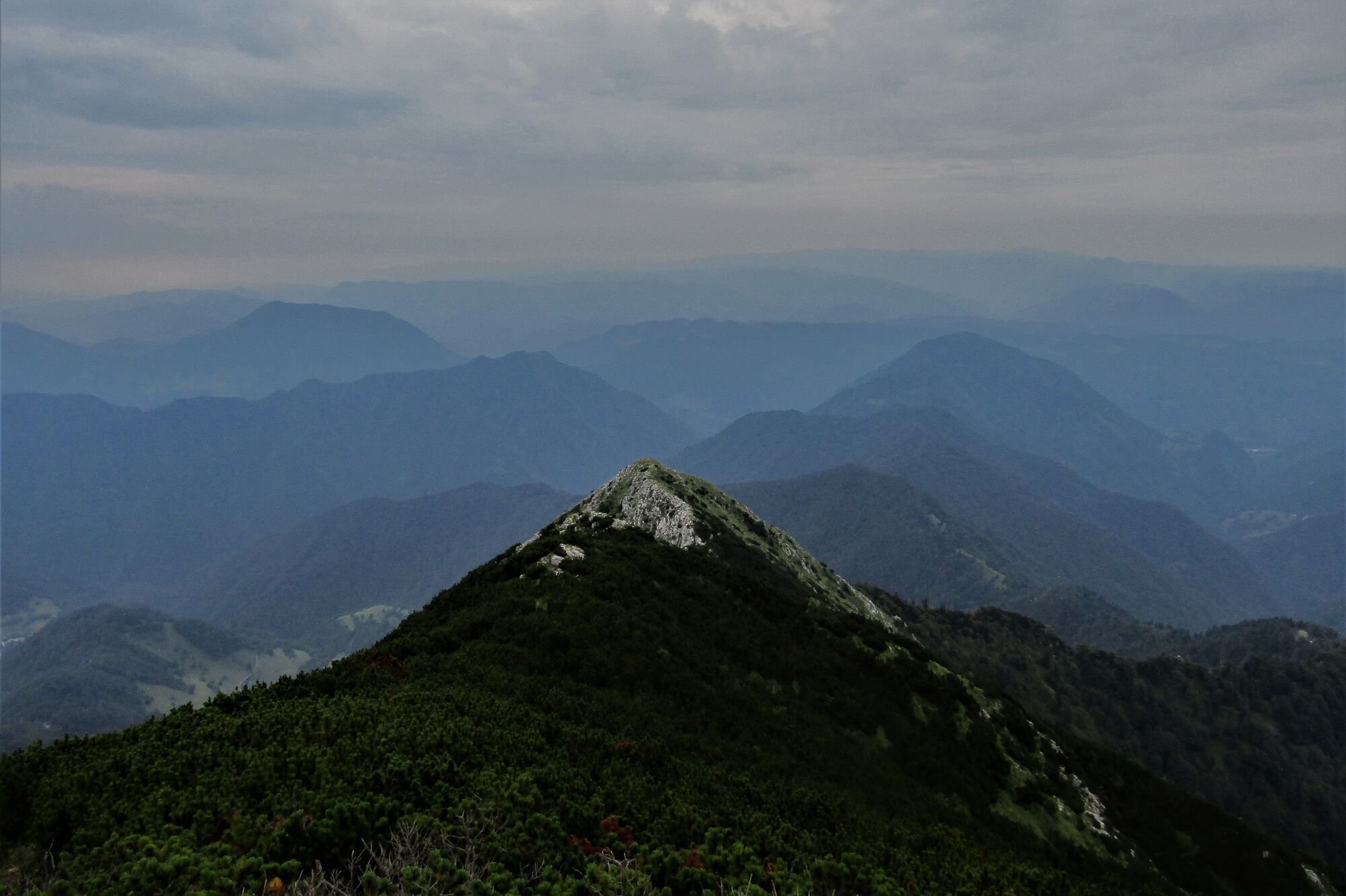
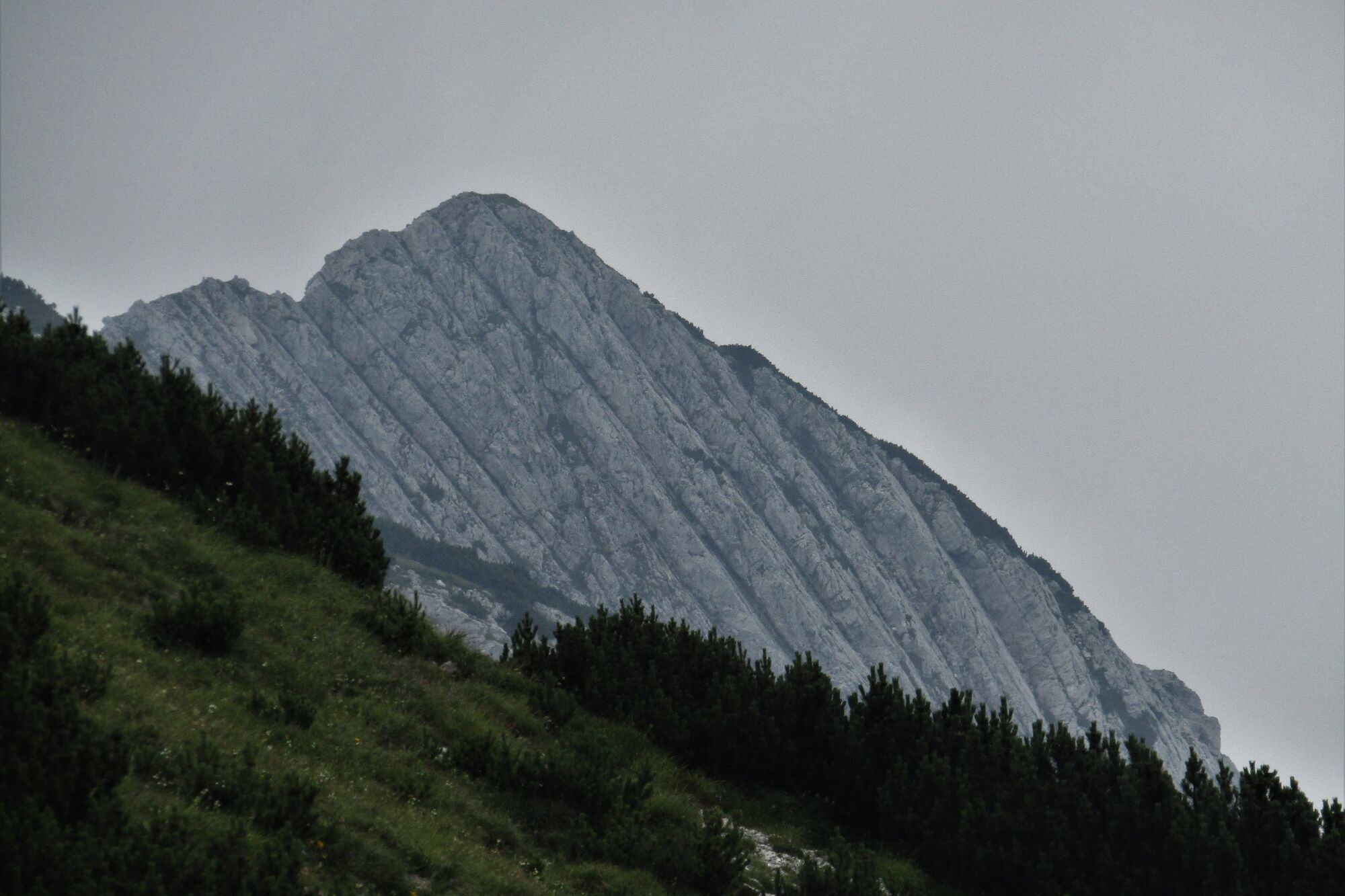
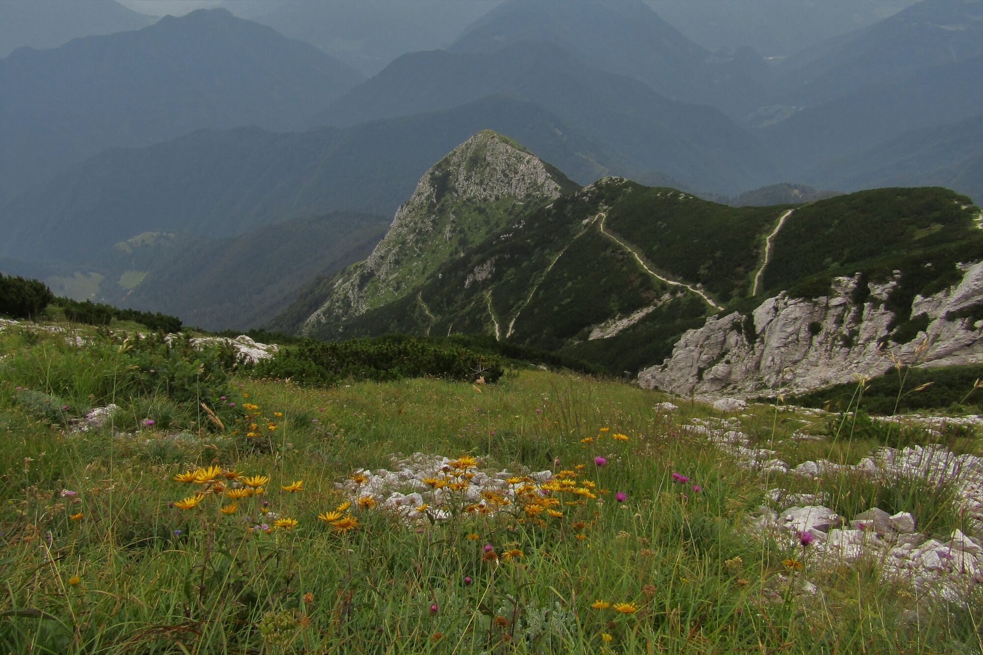
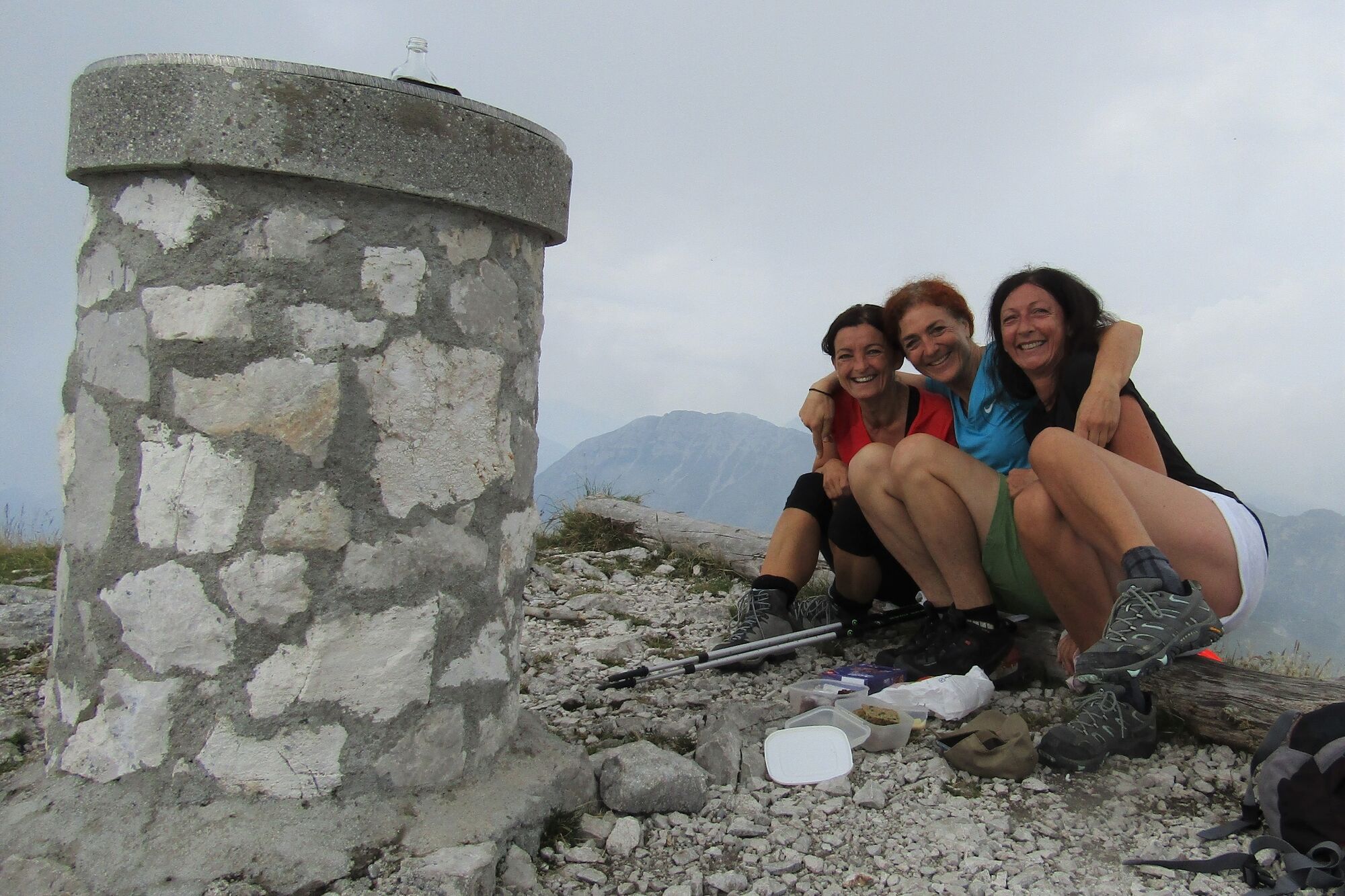
Mt. Rodica (1,958 m) – a prominent summit above the Baška grapa Valley

Wandelen


- Korte beschrijving
-
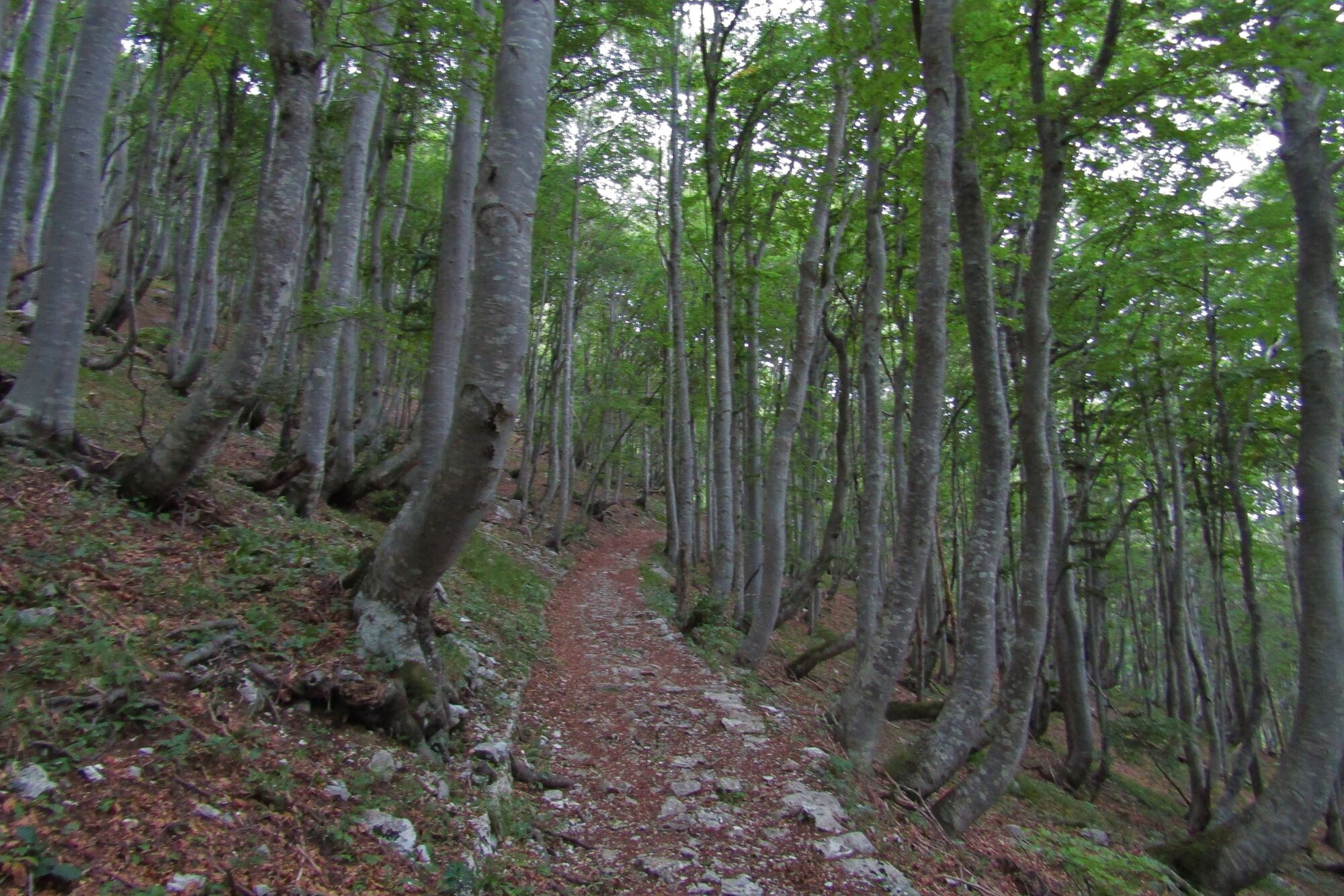
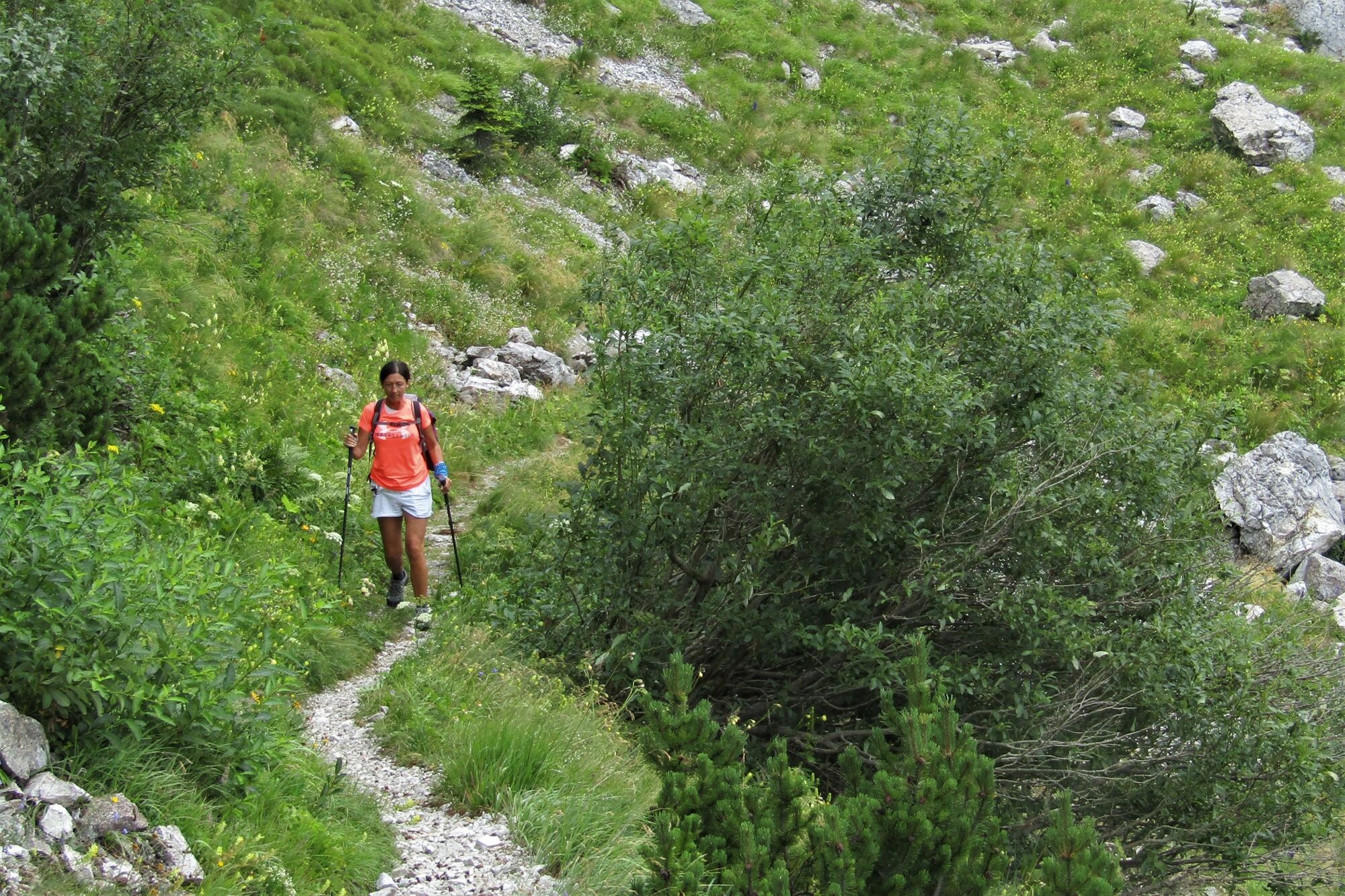
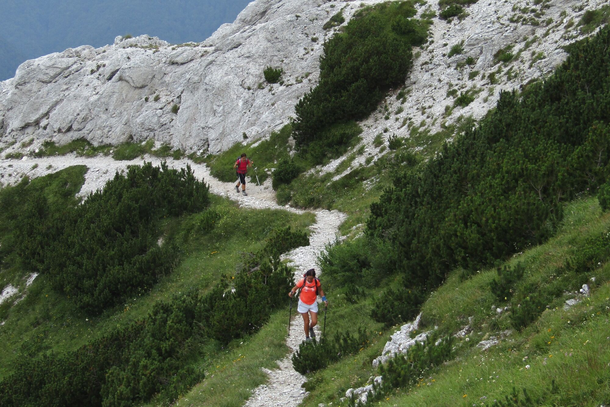
Mt. Rodica with its distinctive pyramid shape is noticeable from almost everywhere. It is deservedly called The “Queen” Rodica. The tour starts in a wonderful Rutarski gozd Forest and ends on a sightseeing ridge.
- Moeilijkheid
-
medium
- Waardering
-
- Route
-
Peči (Greben) (1.727 m)3,1 kmRodica (1.963 m)4,3 km
- Beste seizoen
-
janfebmrtaprmeijunjulaugsepoktnovdec
- Maximale hoogte
- 1.927 m
- Bestemming
-
Mt. Rodica (1,958 m)
- Hoogteprofiel
-
 © outdooractive.com
-

-
AuteurDe rondleiding Mt. Rodica (1,958 m) – a prominent summit above the Baška grapa Valley wordt gebruikt door outdooractive.com op.
GPS Downloads


Algemene info
Tip voor insiders
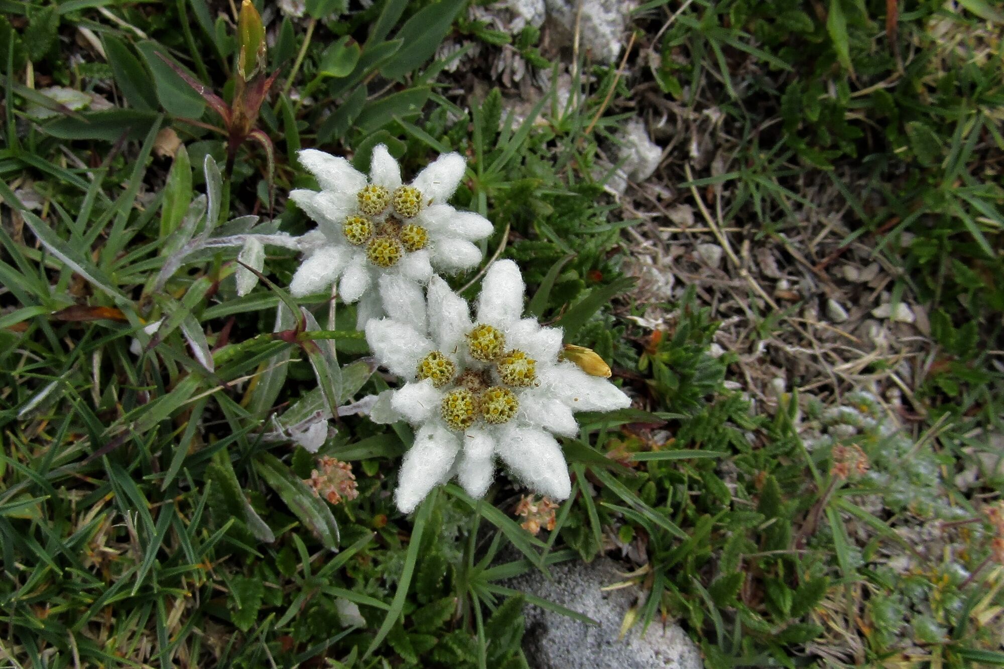
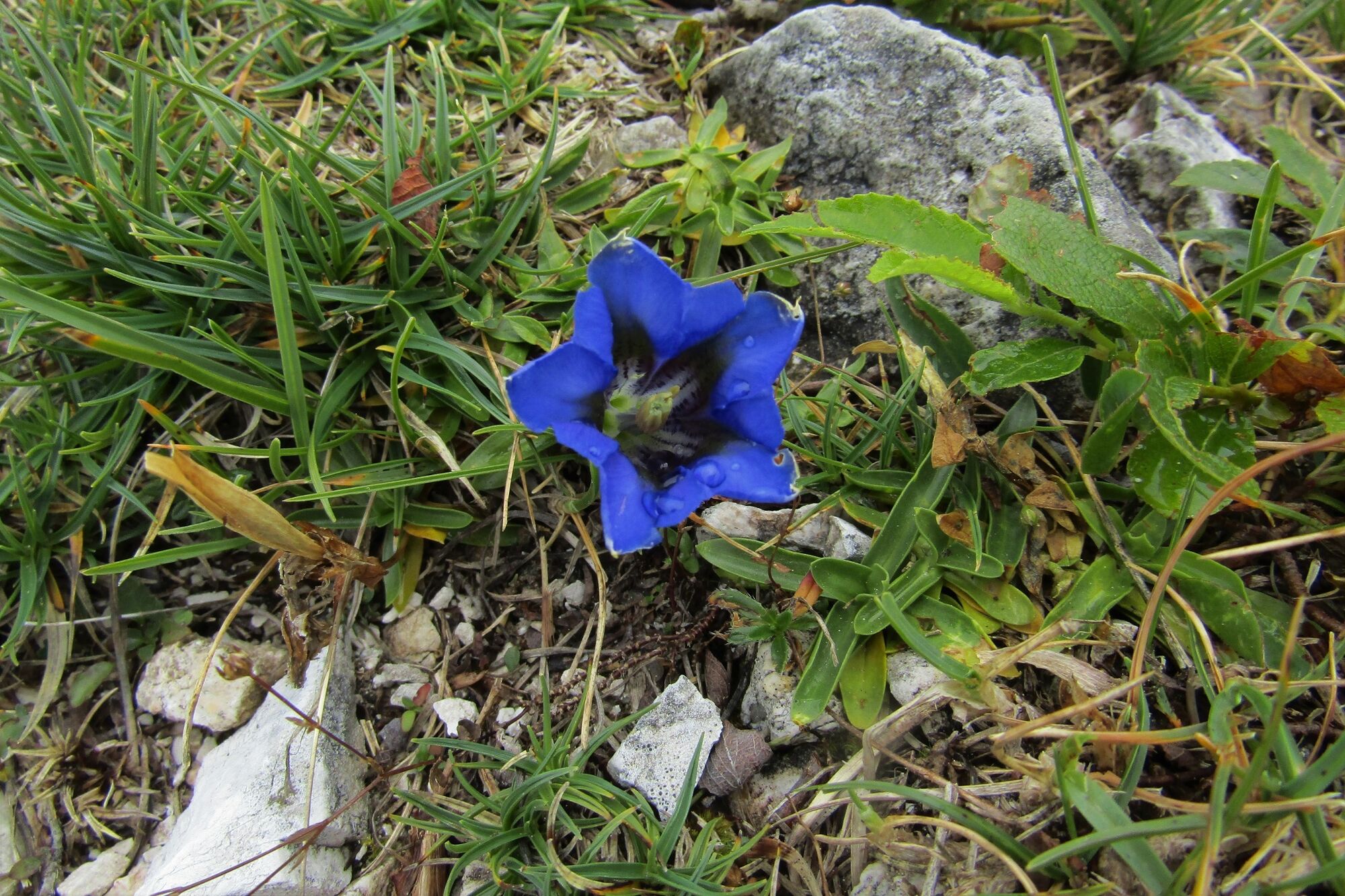
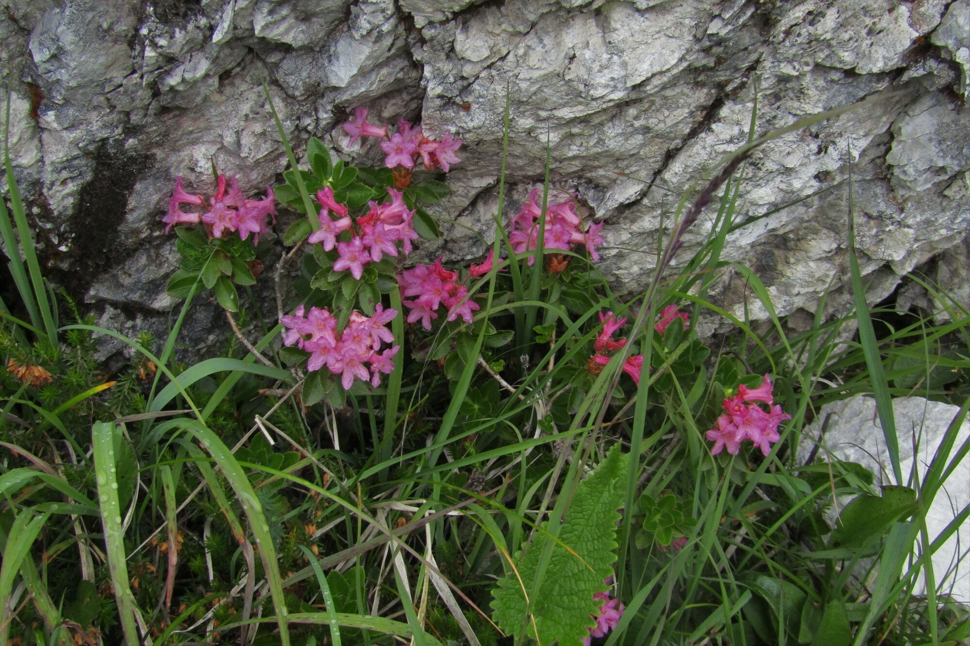
Flora
Veelbelovend