© Turizem Dolina Soce - Andreja Križnič

© Turizem Dolina Soce - Andreja Križnič

© Turizem Dolina Soce - Andreja Križnič

© Turizem Dolina Soce - Andreja Križnič

© Turizem Dolina Soce - Andreja Križnič

© Turizem Dolina Soce - Andreja Križnič

© Turizem Dolina Soce - Andreja Križnič

© Turizem Dolina Soce - Andreja Križnič

© Turizem Dolina Soce - Andreja Križnič

© Turizem Dolina Soce - Andreja Križnič

- Korte beschrijving
-
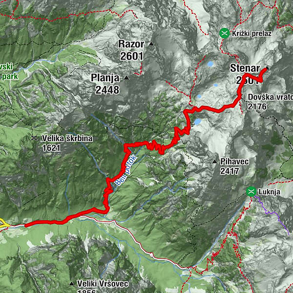
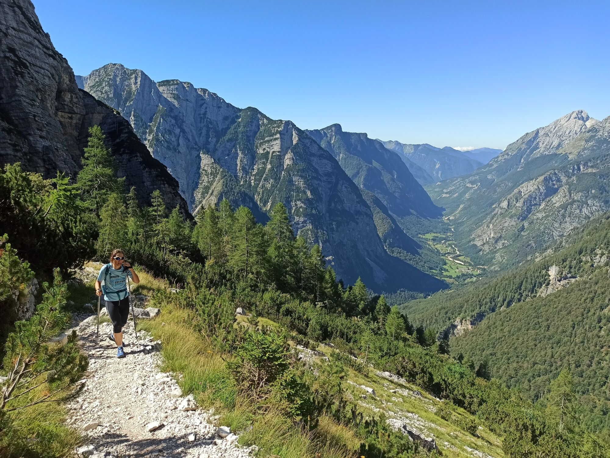
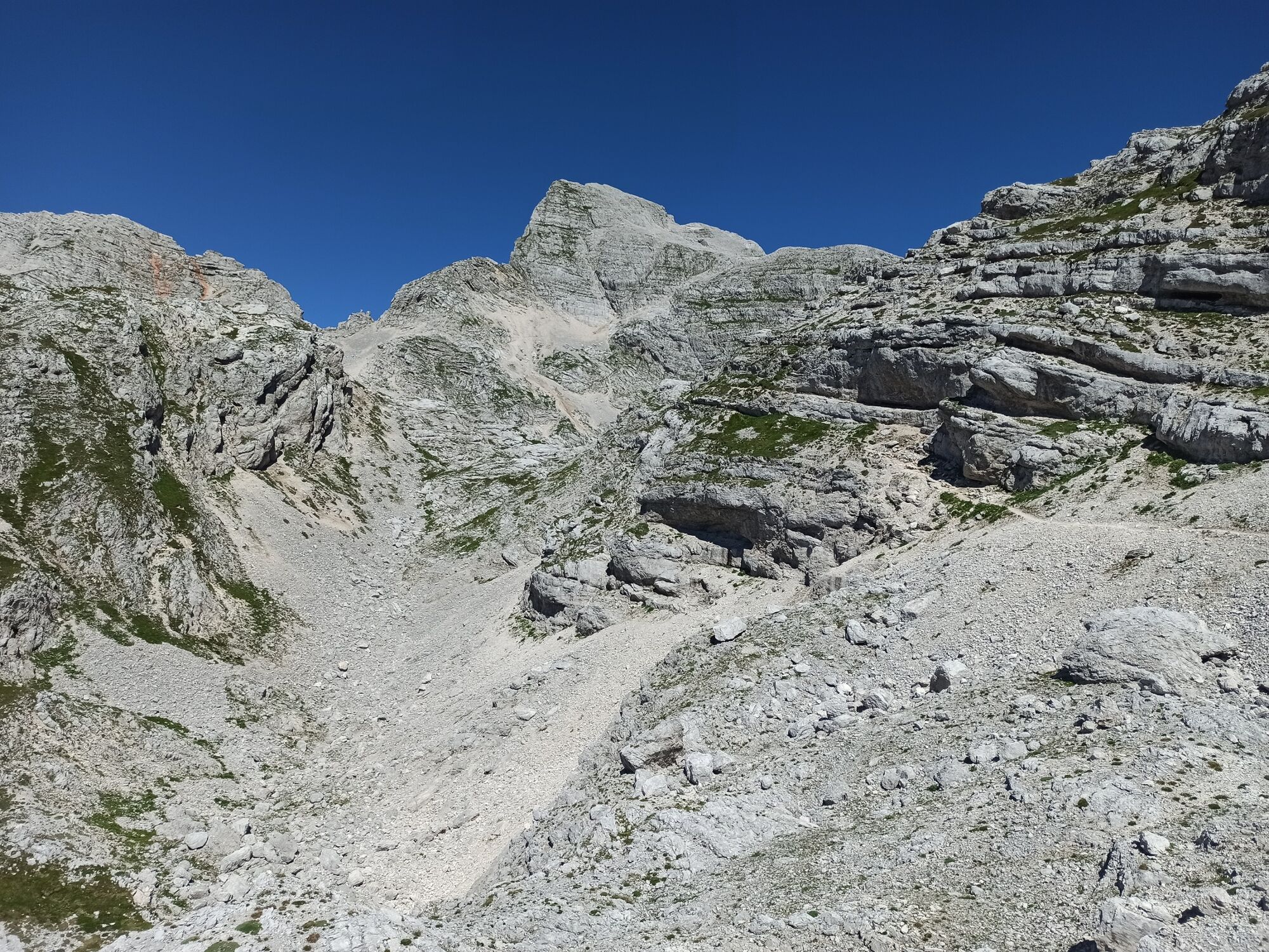
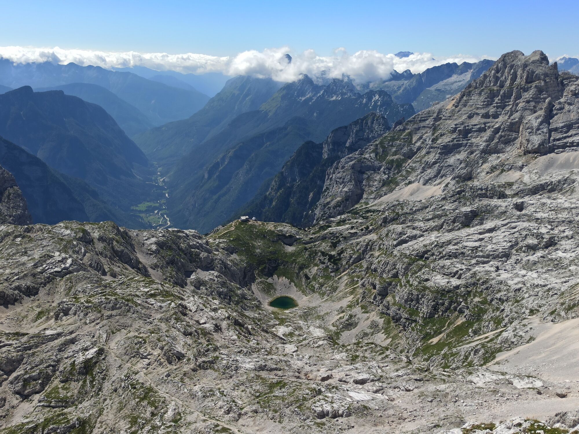
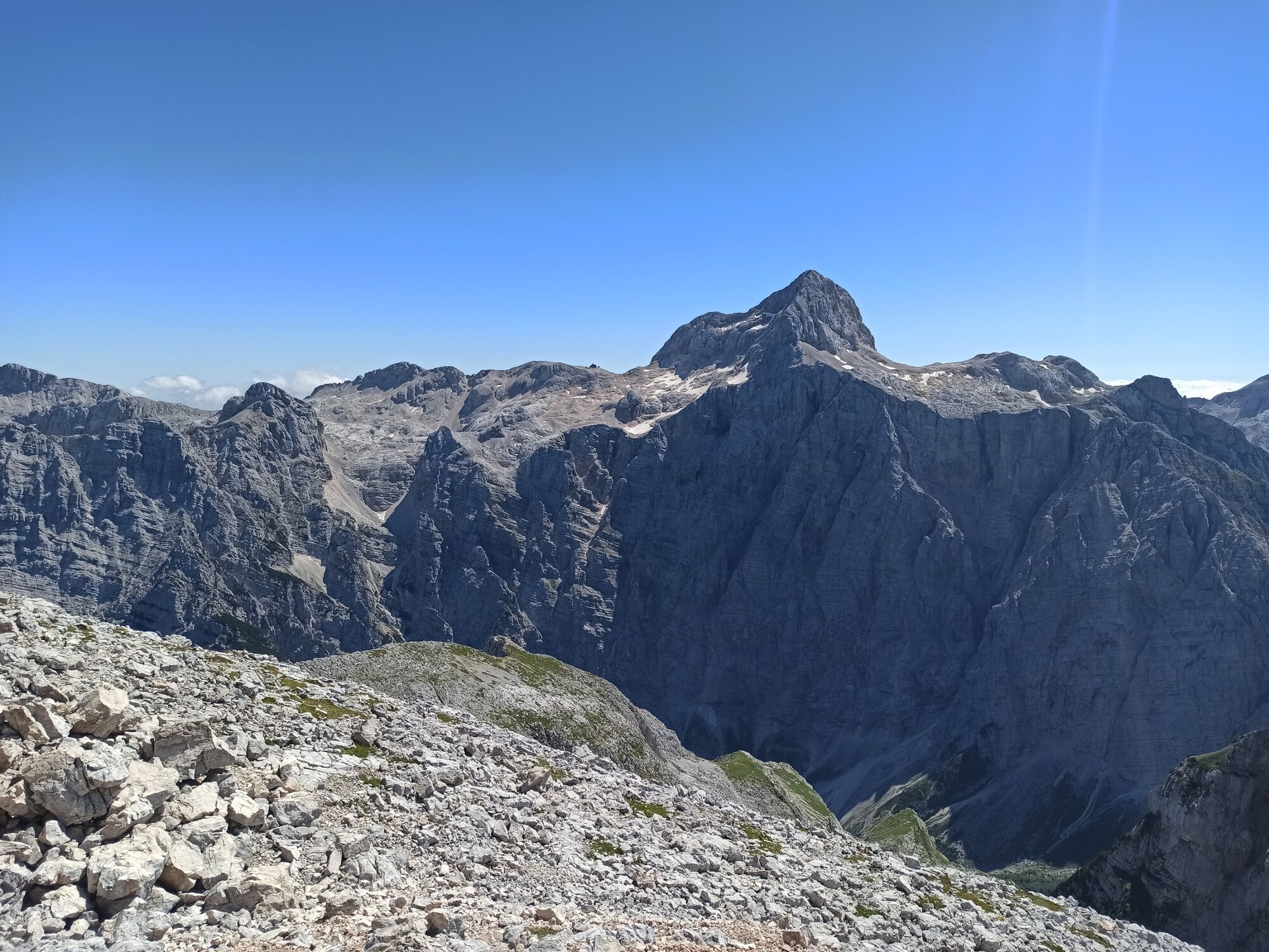
Mt. Stenar is the most easily accessible summit above the Kriški podi Plateau. It offers splendid views of Mt. Triglav and the surrounding summits. The trail to Mt. Stenar from the Zadnjica Valley is easy and marked, however, it is long and overcomes great altitude difference, which is why you should reserve a sufficient amount of time and take it when the weather is nice.
- Moeilijkheid
-
zwaar
- Waardering
-
- Route
-
Dovška vratca (2.176 m)10,2 kmDovški Pihavec (2.215 m)10,4 kmStenar (2.501 m)11,5 km
- Beste seizoen
-
janfebmrtaprmeijunjulaugsepoktnovdec
- Maximale hoogte
- 2.429 m
- Bestemming
-
Mt. Stenar (2501 m)
- Hoogteprofiel
-
 © outdooractive.com


- Auteur
-
De rondleiding Mt. Stenar (2,501 m) wordt gebruikt door outdooractive.com op.
GPS Downloads


Algemene info
Verfrissingsstop
Helende klimaat
Cultureel/Historisch
Tip voor insiders
Flora
Fauna
Veelbelovend
Meer rondleidingen in de regio's
-
Region Villach - Faaker See - Ossiacher See
2063
-
Goriška
389
-
Trenta
155