
© Turizem Dolina Soce - Andreja Križnič

© Turizem Dolina Soce - Andreja Križnič

© Turizem Dolina Soce - Andreja Križnič

© Turizem Dolina Soce - Andreja Križnič

© Turizem Dolina Soce - Andreja Križnič

© Turizem Dolina Soce - Andreja Križnič

© Turizem Dolina Soce - Andreja Križnič

© Turizem Dolina Soce - Andreja Križnič

© Turizem Dolina Soce - Andreja Križnič

© Turizem Dolina Soce - Andreja Križnič

- Korte beschrijving
-
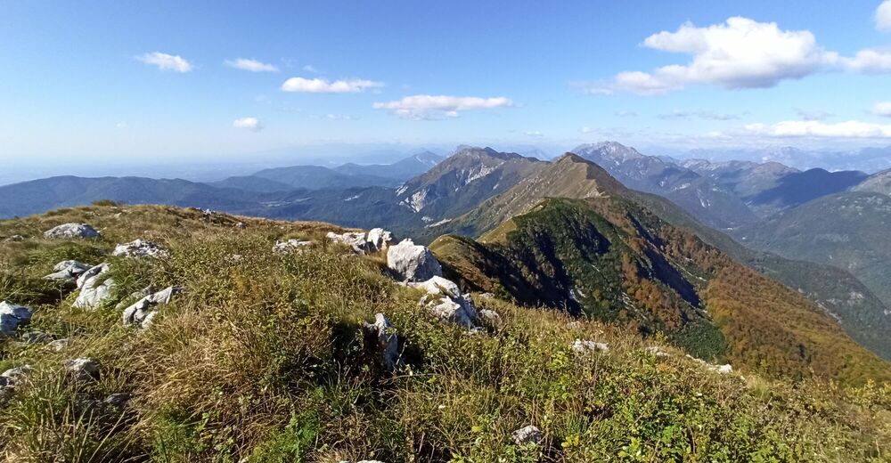
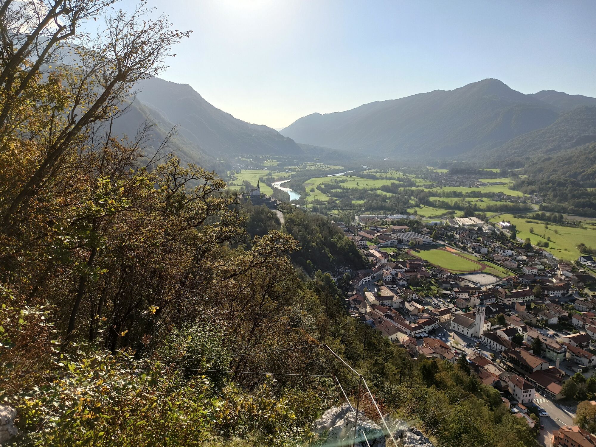
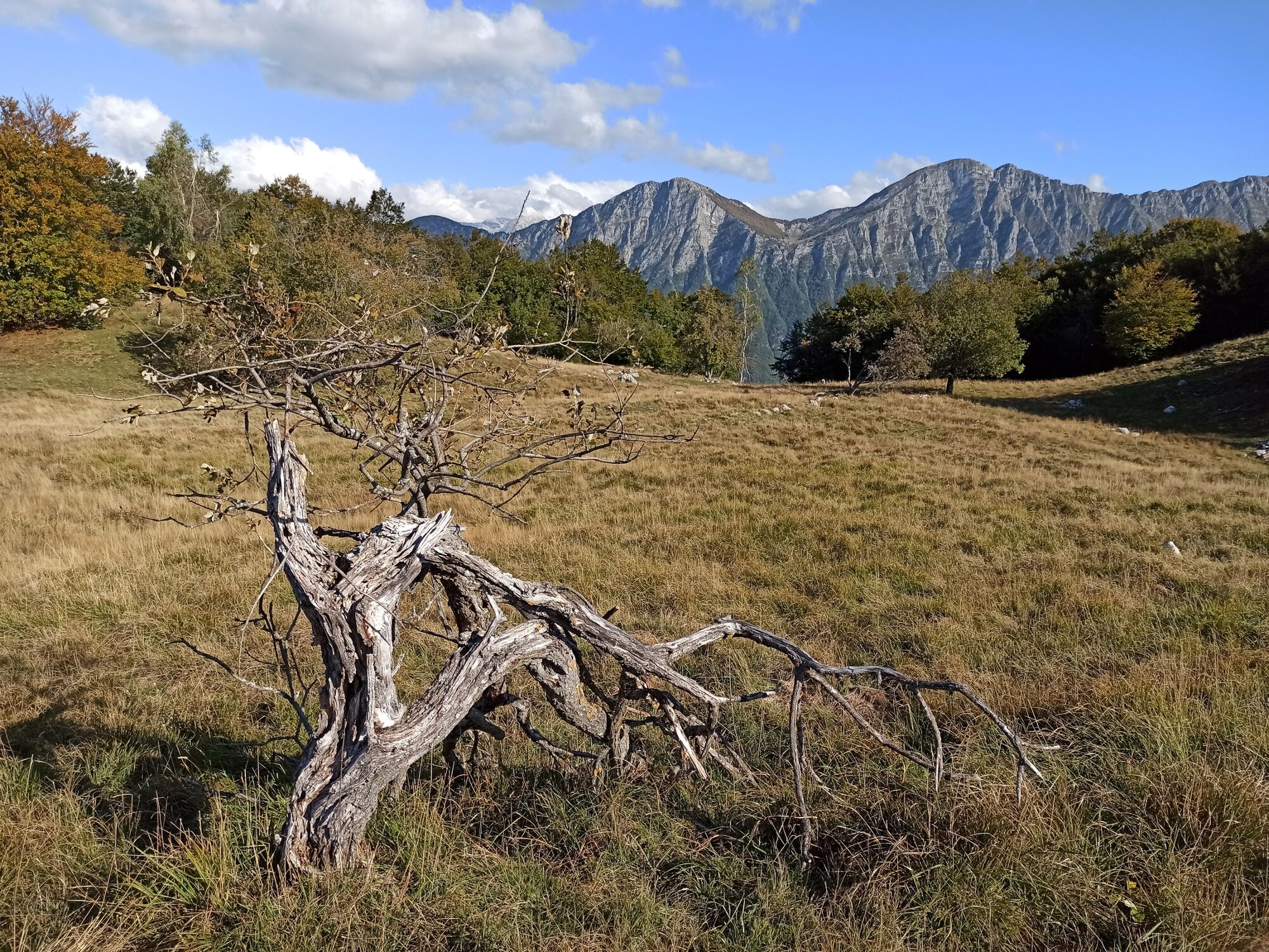
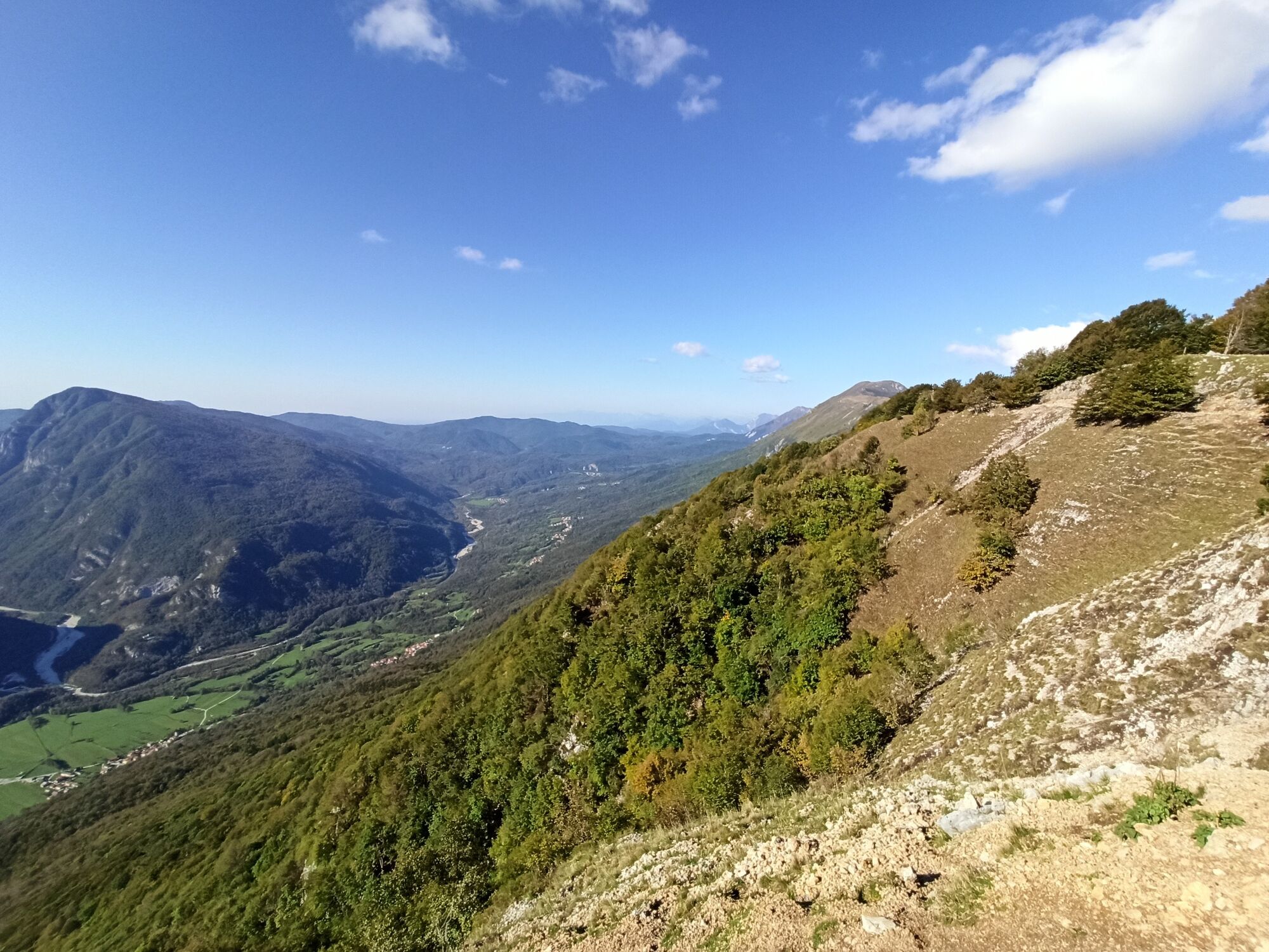
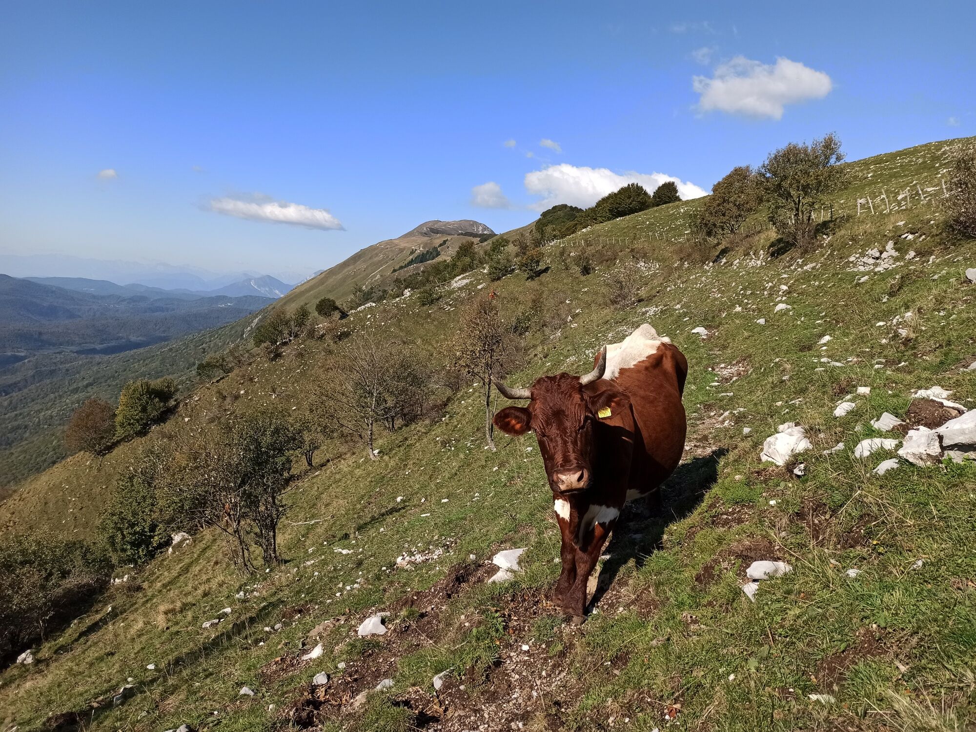
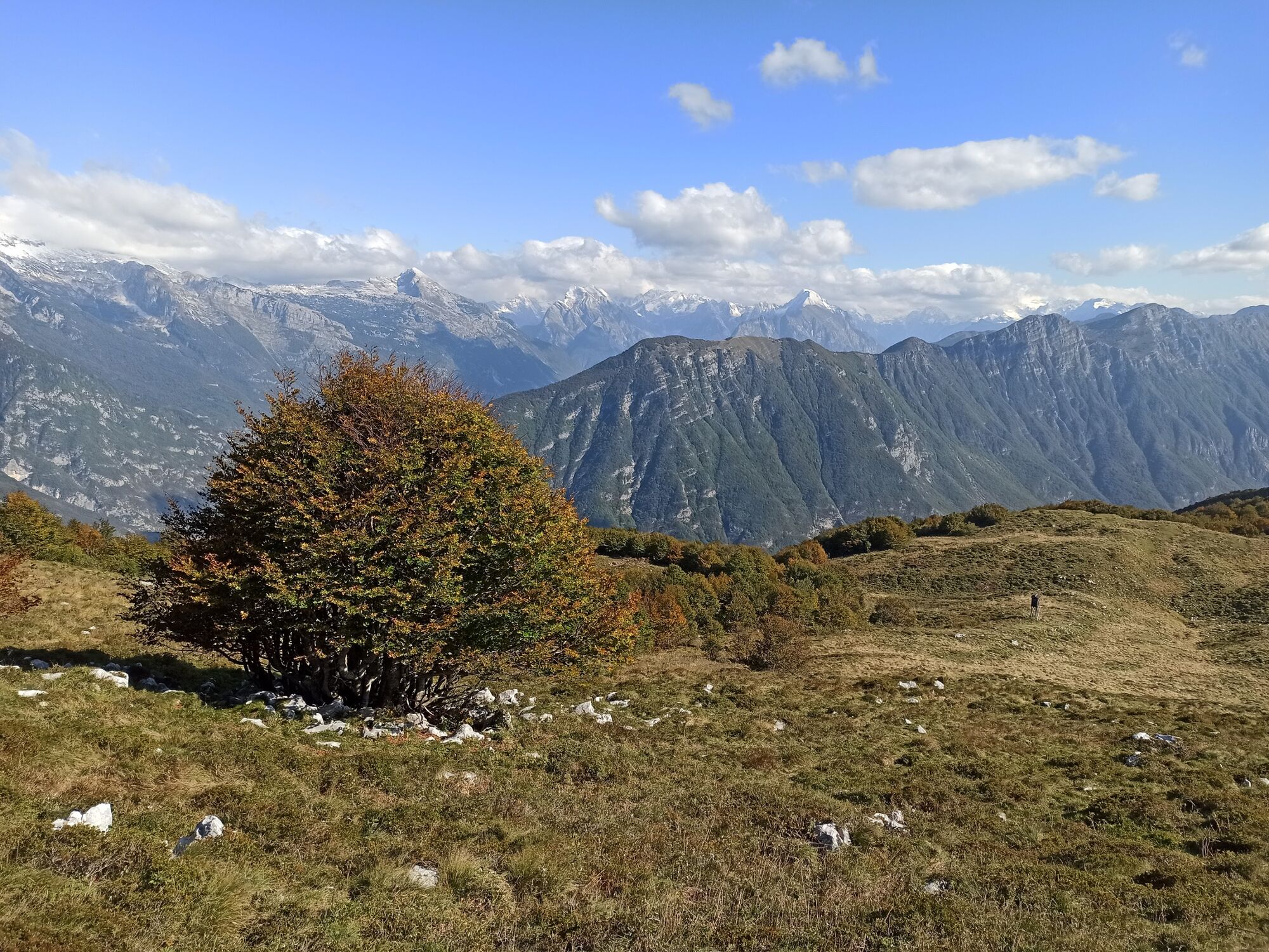
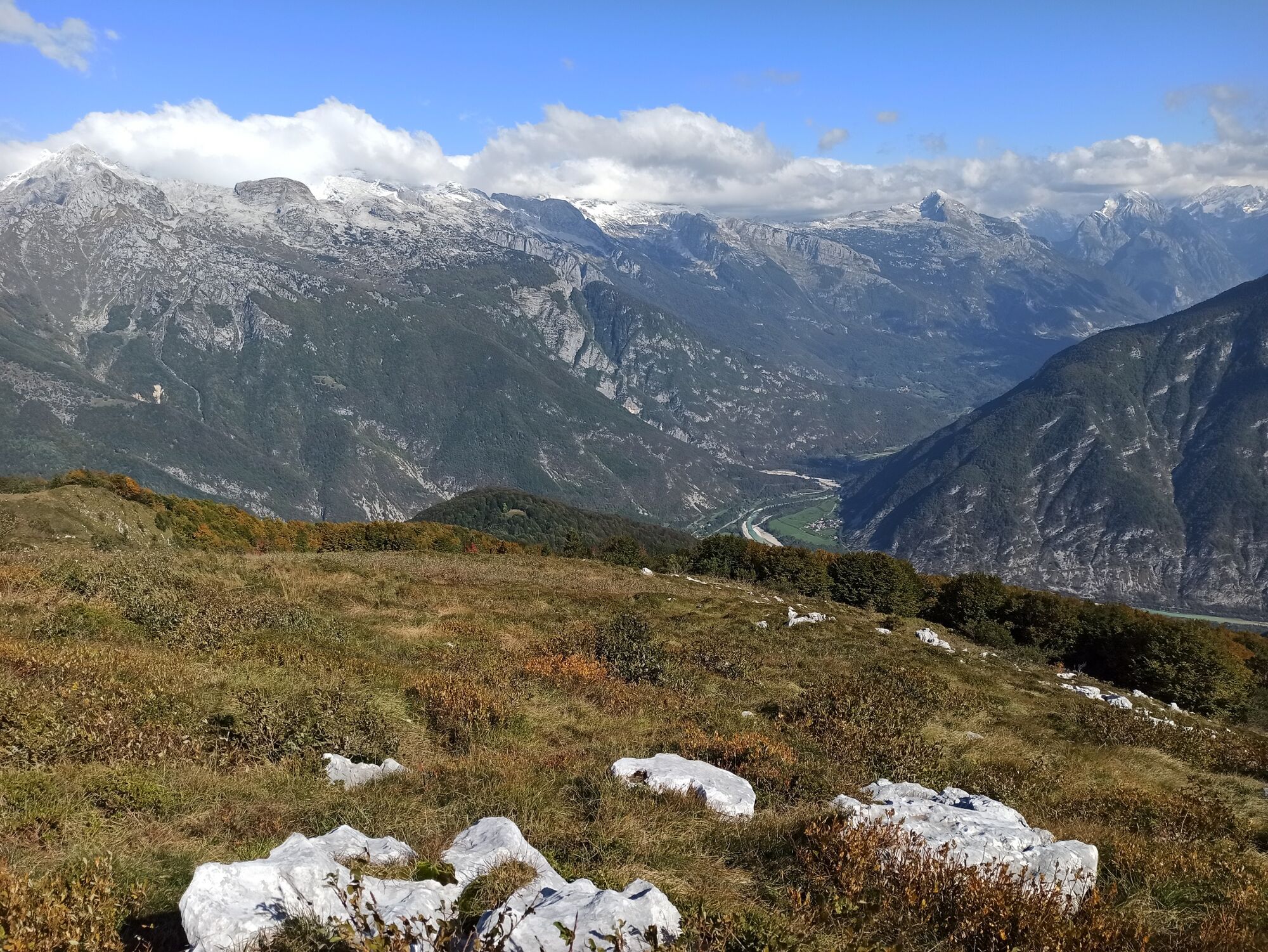
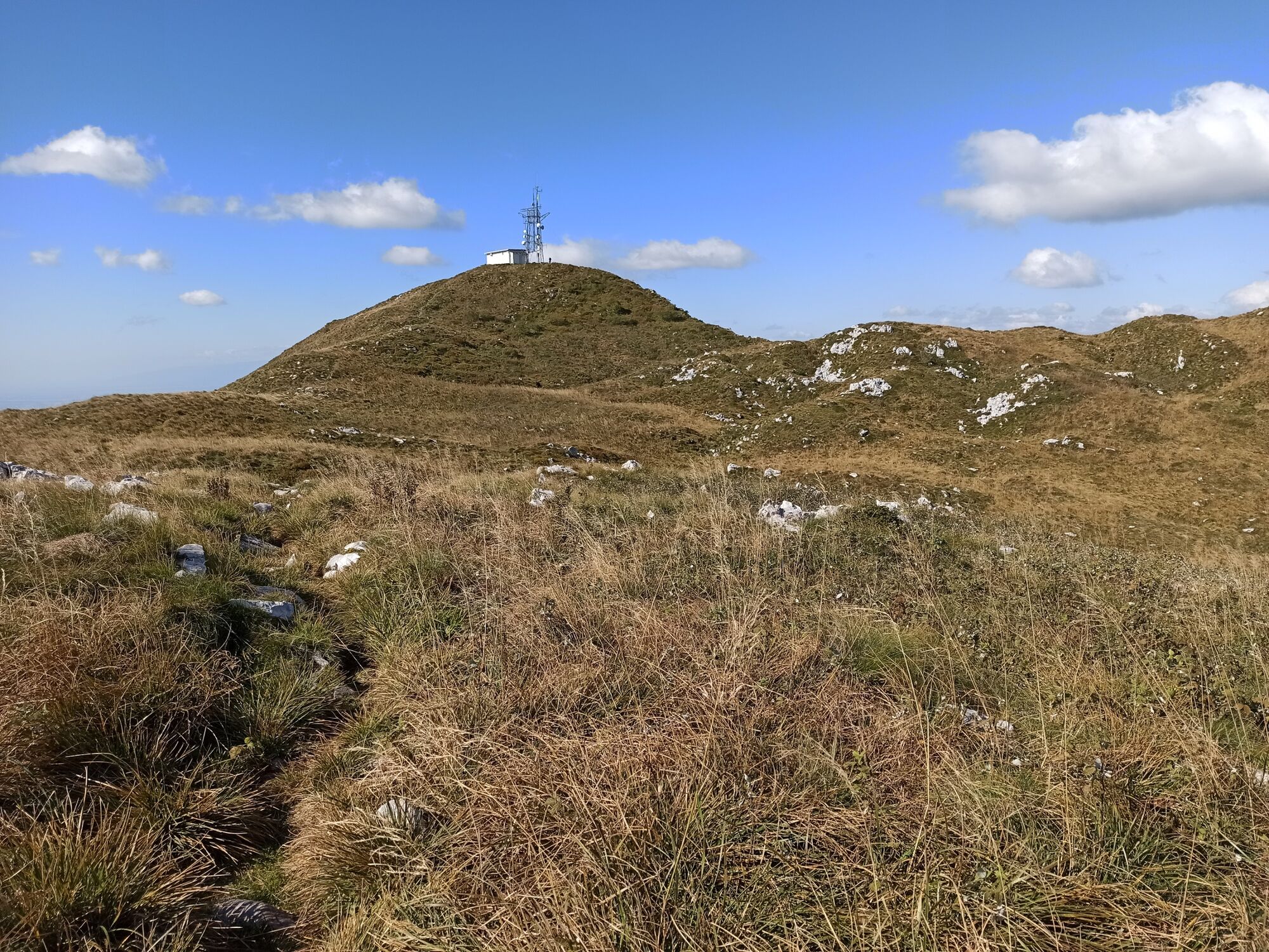
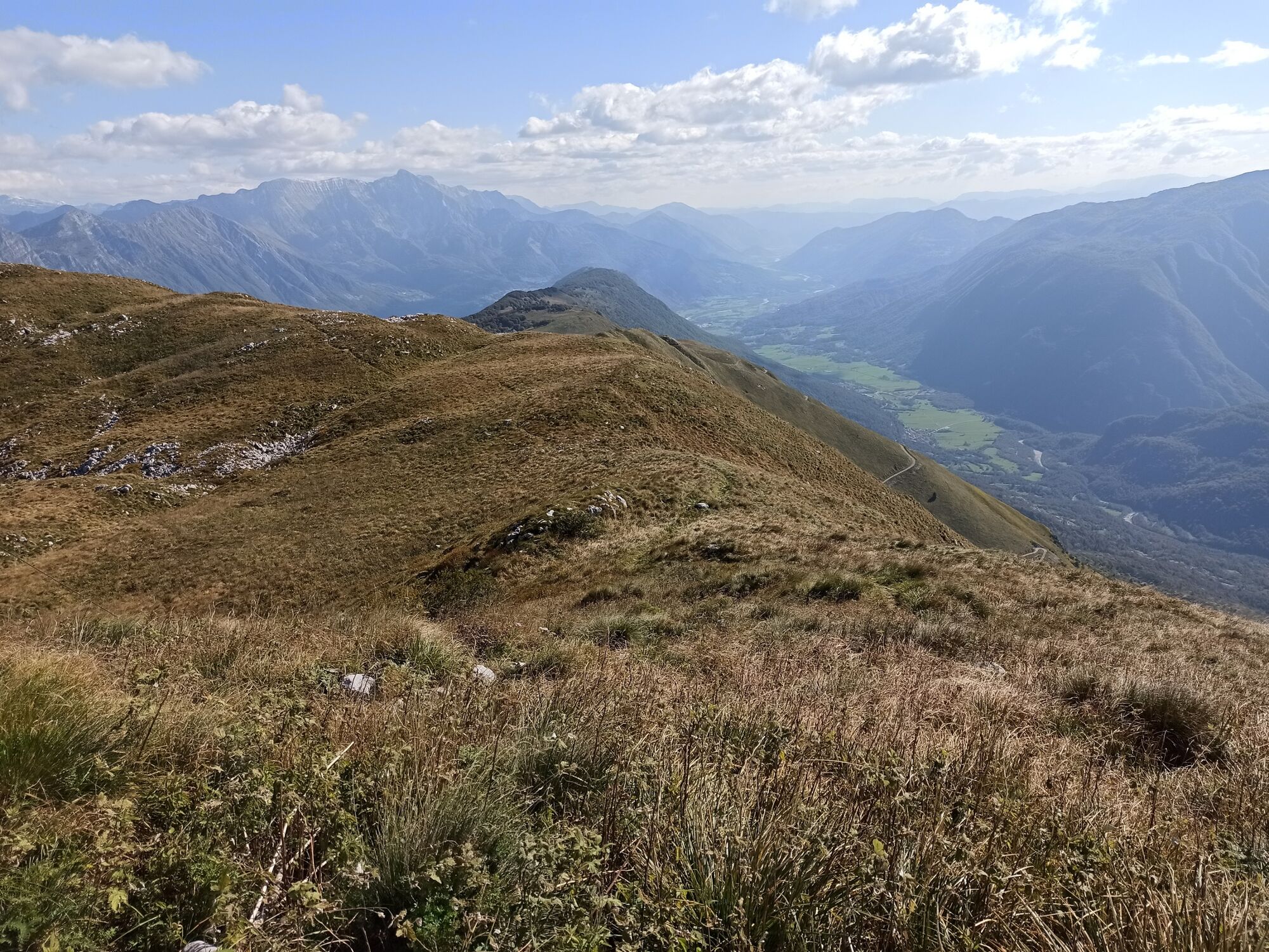
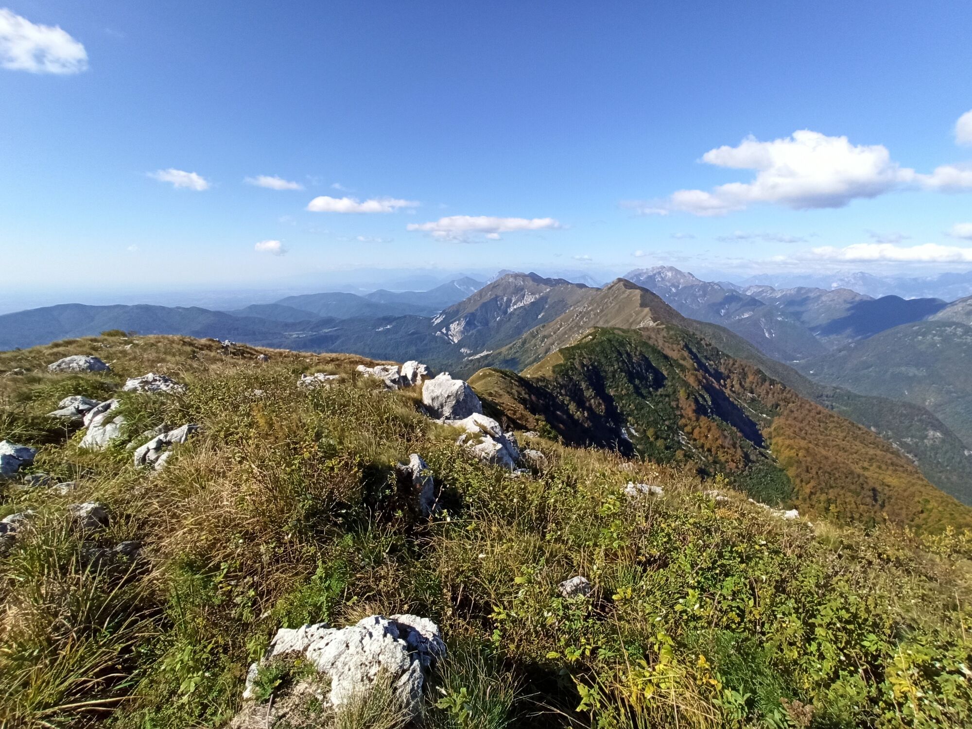
Mt. Stol is the highest Slovenian summit in the longest ridge of the Julian Alps. It is recognizable from afar due to the transmitter which is standing on its top. It is a wonderful sighteeing hill which offers views from the Adriatic Sea to the central Julian Alps. This tour will take you to the top of Mt. Stol along a long sightseeing trail from the town of Kobarid.
- Moeilijkheid
-
zwaar
- Waardering
-
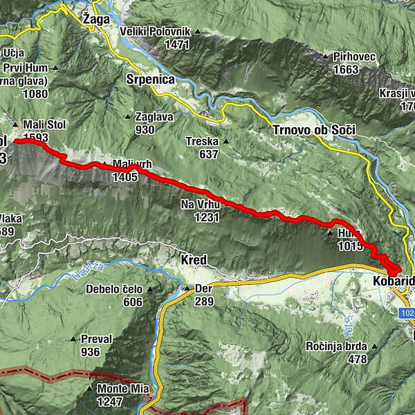
- Route
-
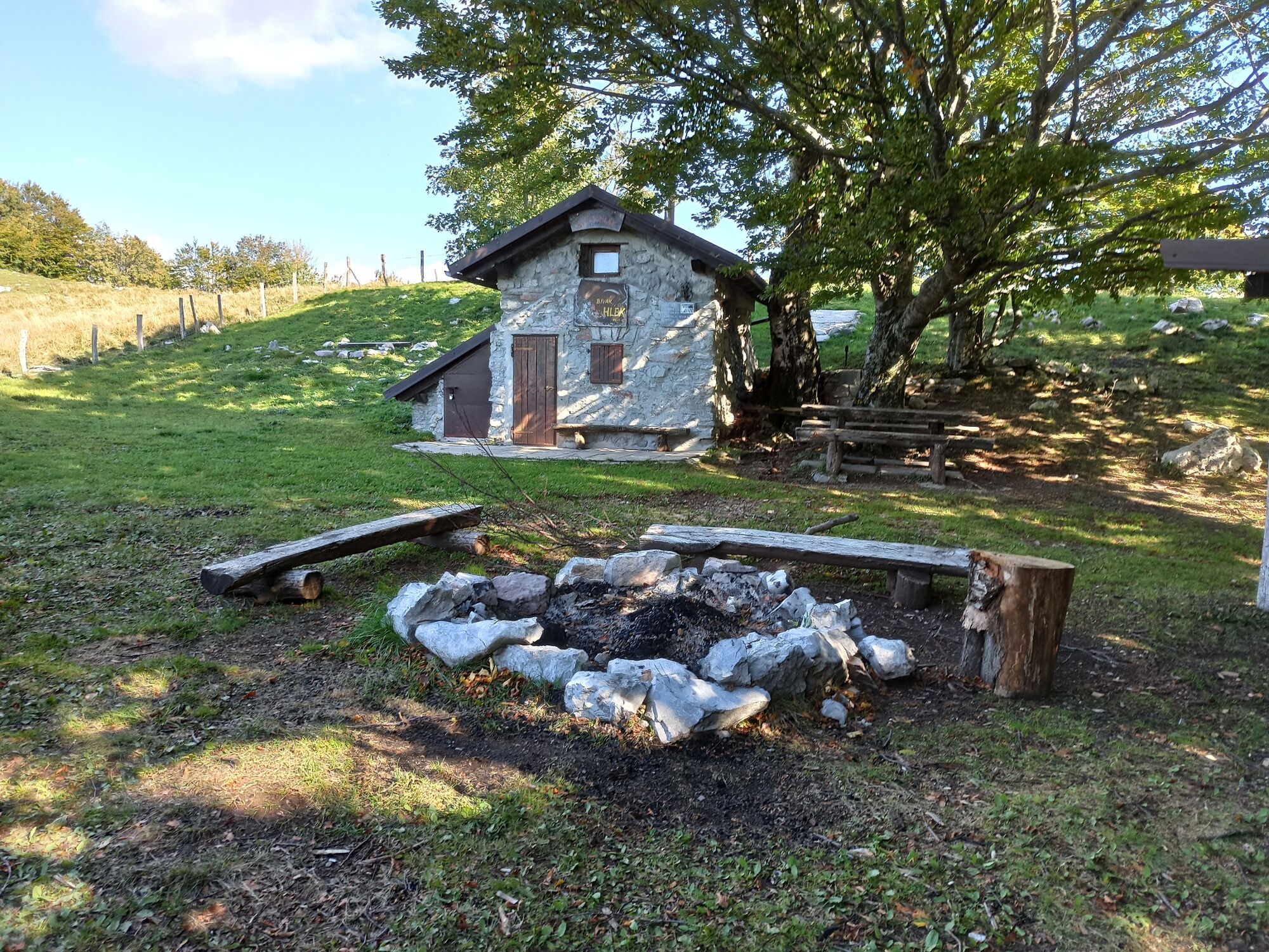
Župnijska cerkev Marijinega vnebovzetja0,1 kmKarfreit0,1 kmMrzli Studenec0,2 kmVeliki Rob0,9 kmStarijski vrh (1.147 m)4,0 kmNa Vrhu (1.231 m)6,2 kmBivak Hlek7,1 kmMonte Stol (1.673 m)12,7 kmBivak Hlek18,3 kmNa Vrhu (1.231 m)19,2 kmStarijski vrh (1.147 m)21,5 kmKarfreit25,1 kmMrzli Studenec25,1 km
- Beste seizoen
-
janfebmrtaprmeijunjulaugsepoktnovdec
- Maximale hoogte
- 1.646 m
- Bestemming
-
Mt. Stol (1,673 m)
- Hoogteprofiel
-
 © outdooractive.com
- Auteur
-
De rondleiding Mt. Stol (1,673 m) from Kobarid wordt gebruikt door outdooractive.com op.
GPS Downloads


Algemene info
Cultureel/Historisch
Flora
Fauna
Veelbelovend
Meer rondleidingen in de regio's
-
Friaul Julisch Venetien
144
-
Goriška
389
-
Kobarid
117


