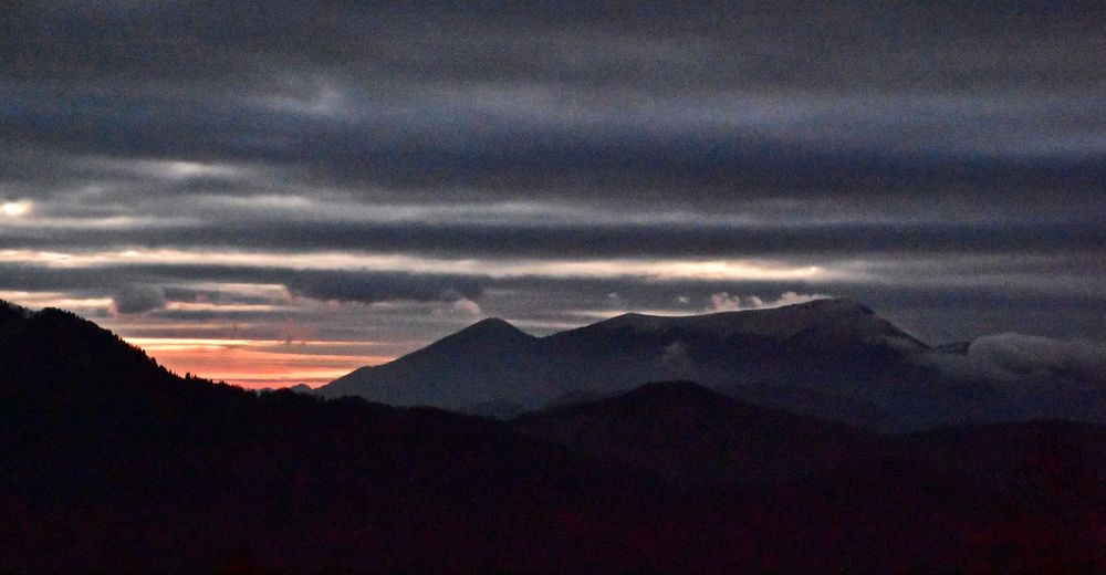
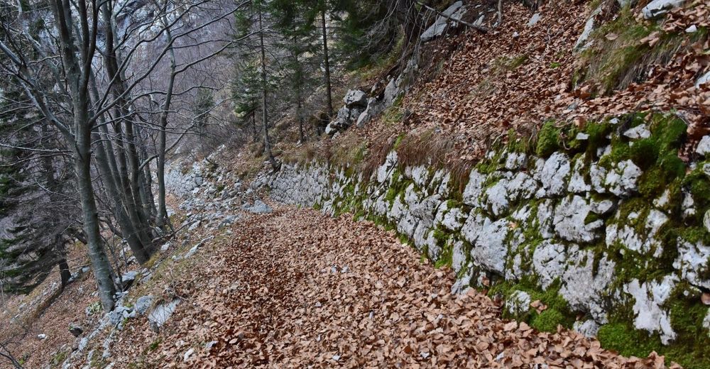
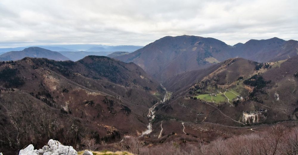
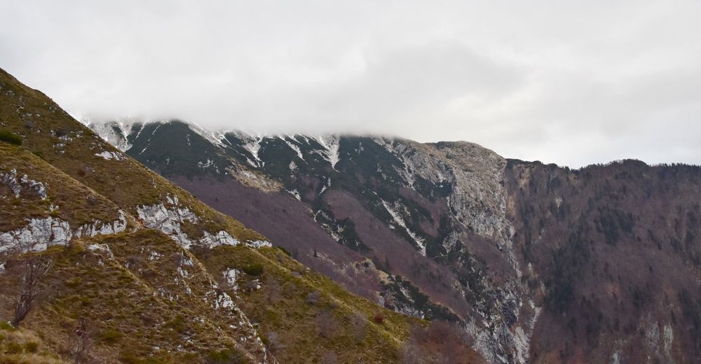
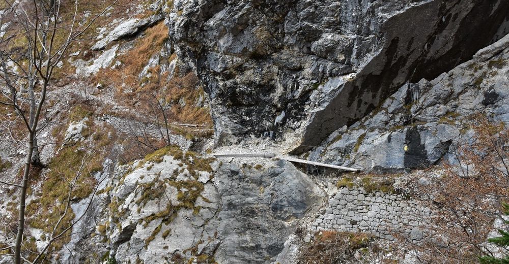
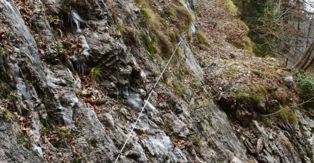
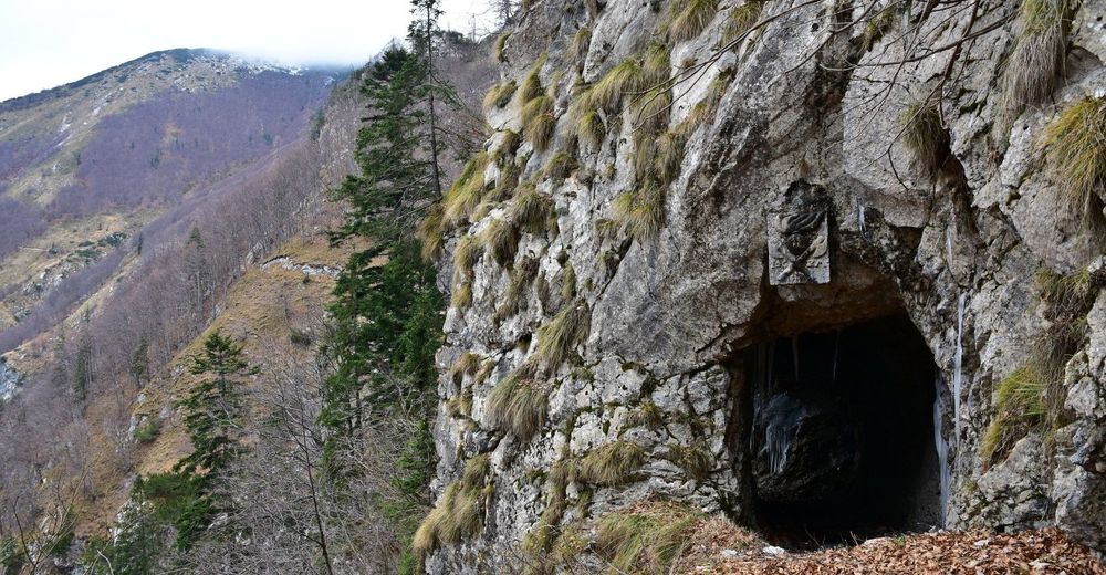
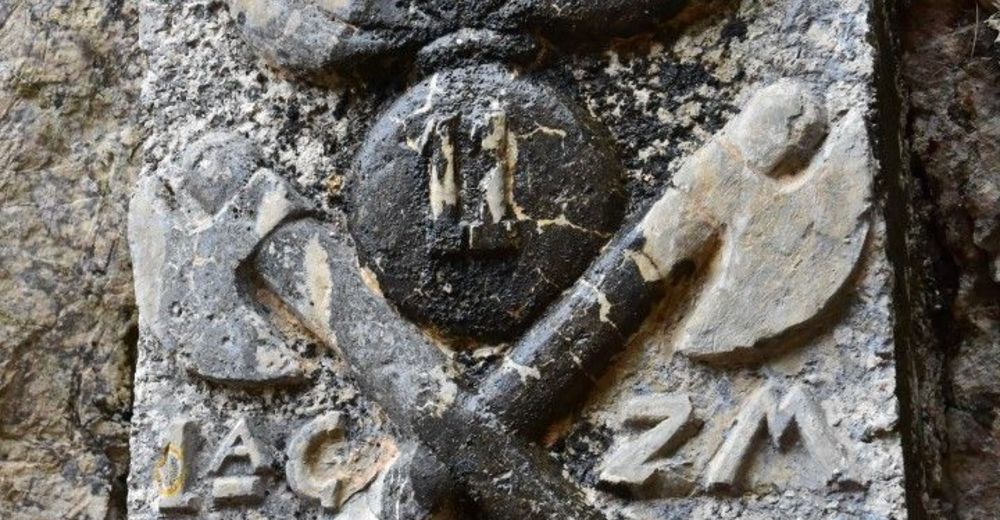
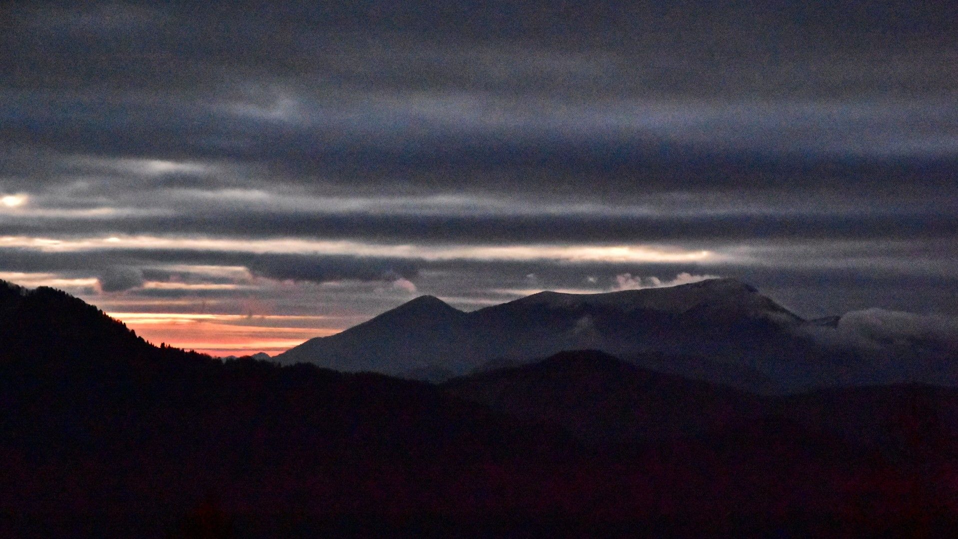
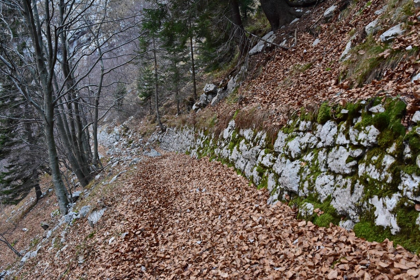
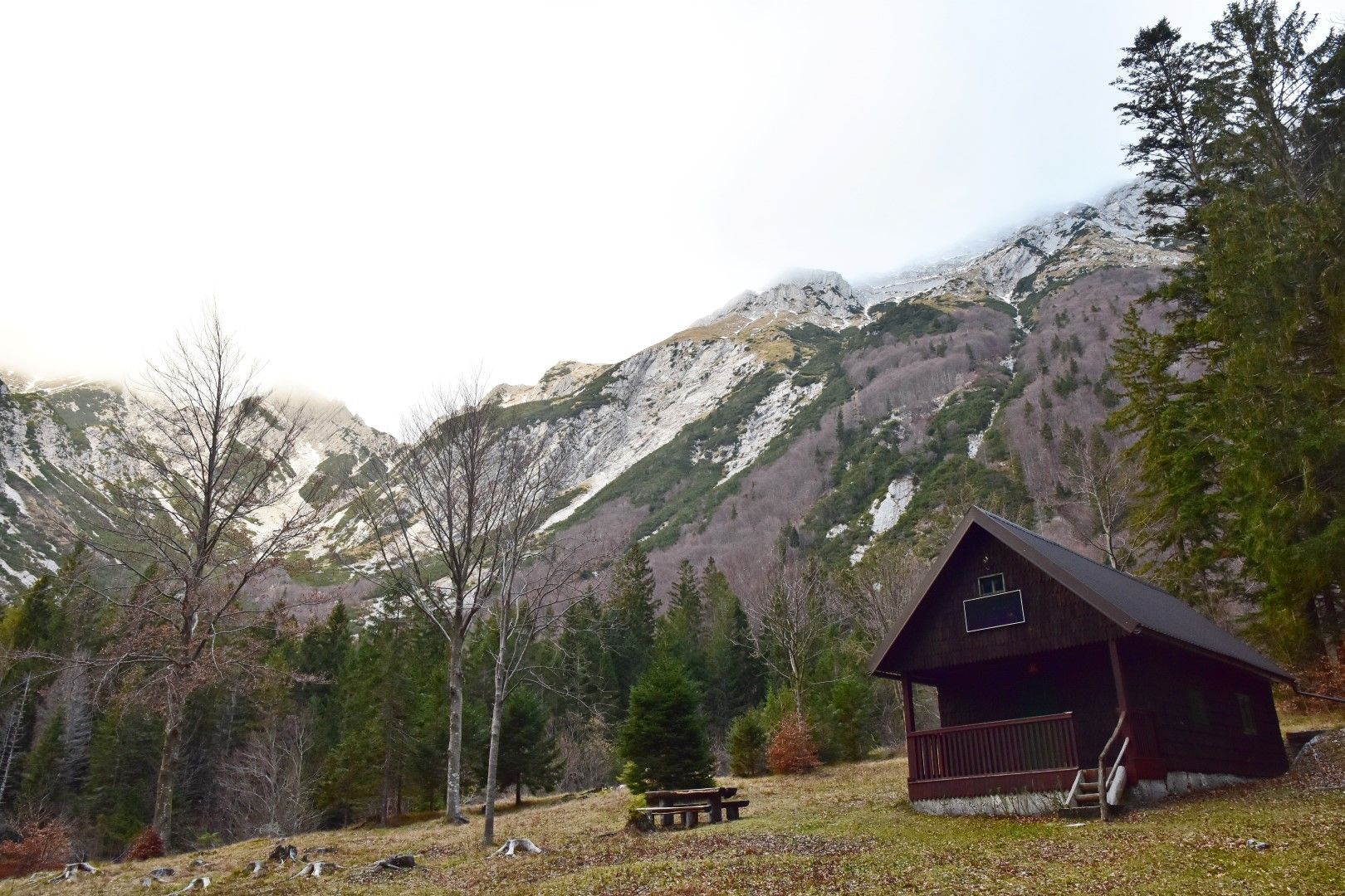
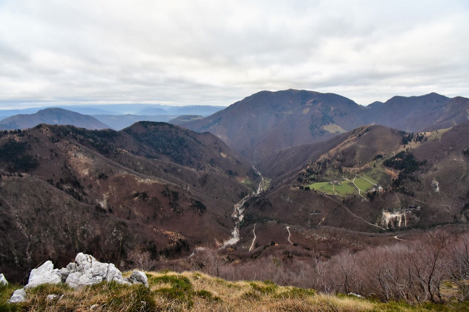
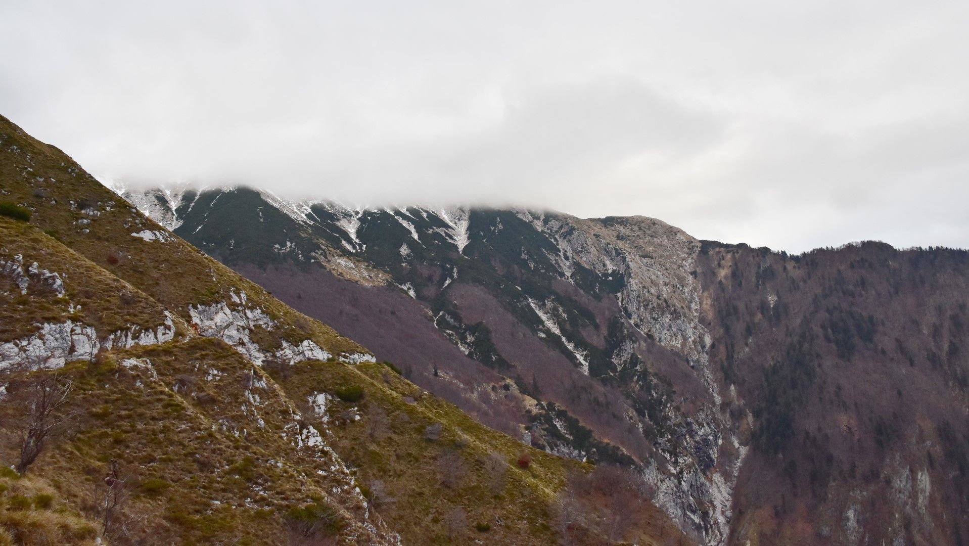
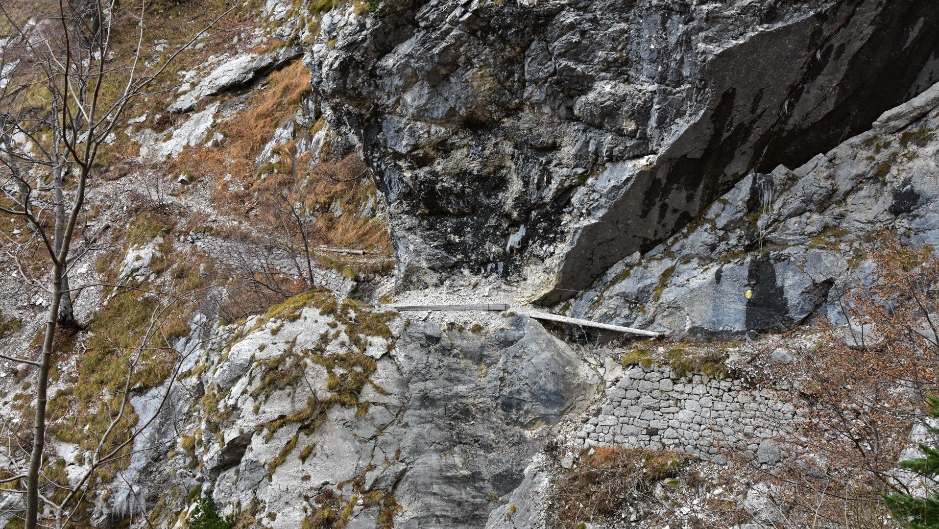
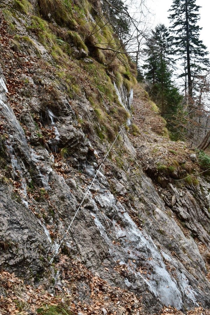
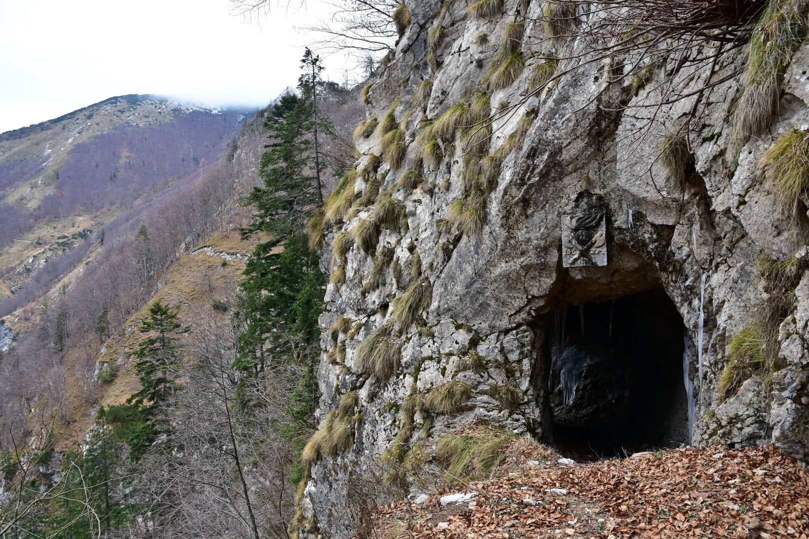
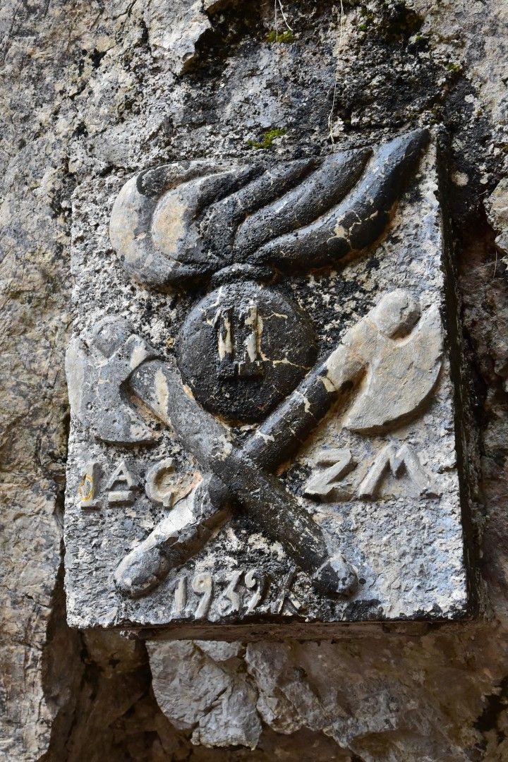
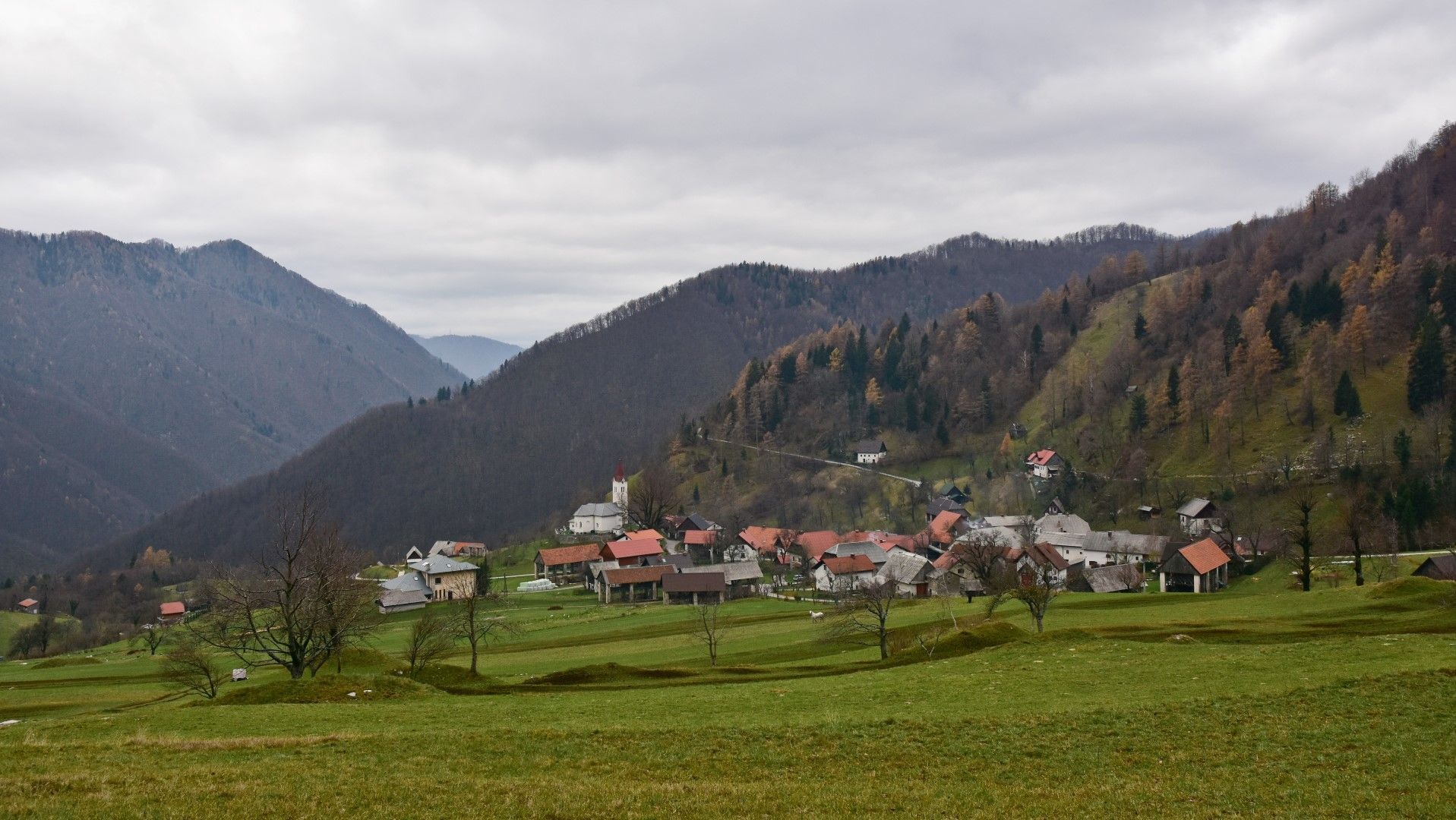
Mule trail 1932, old military trail beneath the peaks of the Tolmin Mountain chain

Wandelen
© Turizem Dolina Soce - Janko Humar
© Turizem Dolina Soce - Janko Humar
© Turizem Dolina Soce - Janko Humar
© Turizem Dolina Soce - Janko Humar
© Turizem Dolina Soce - Janko Humar
© Turizem Dolina Soce - Janko Humar
© Turizem Dolina Soce - Janko Humar
© Turizem Dolina Soce - Janko Humar
© Turizem Dolina Soce - Janko Humar
© Turizem Dolina Soce - Janko Humar

- Korte beschrijving
-
Old military mule trail – an elegant connecting trail from the Razor Mountain pasture to the village of Rut and beyond. This mule trail is also an integral part of the E7 European Footpath.
- Moeilijkheid
-
medium
- Waardering
-
- Route
-
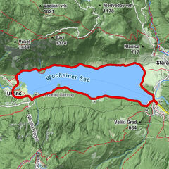
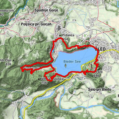
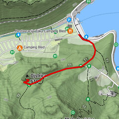
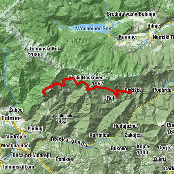
Planina Kuk0,4 kmPlanina v Prodih6,5 kmStržišče17,7 km
- Beste seizoen
-
janfebmrtaprmeijunjulaugsepoktnovdec
- Maximale hoogte
- 1.337 m
- Bestemming
-
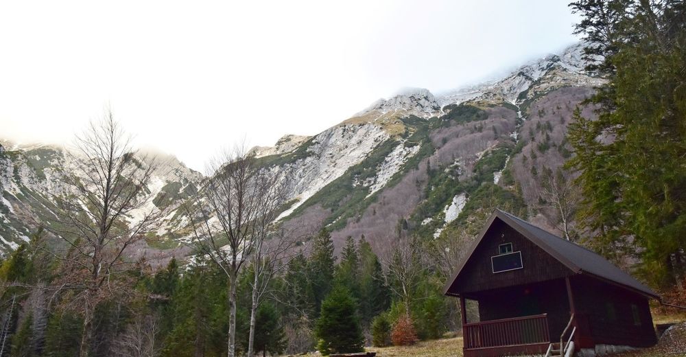
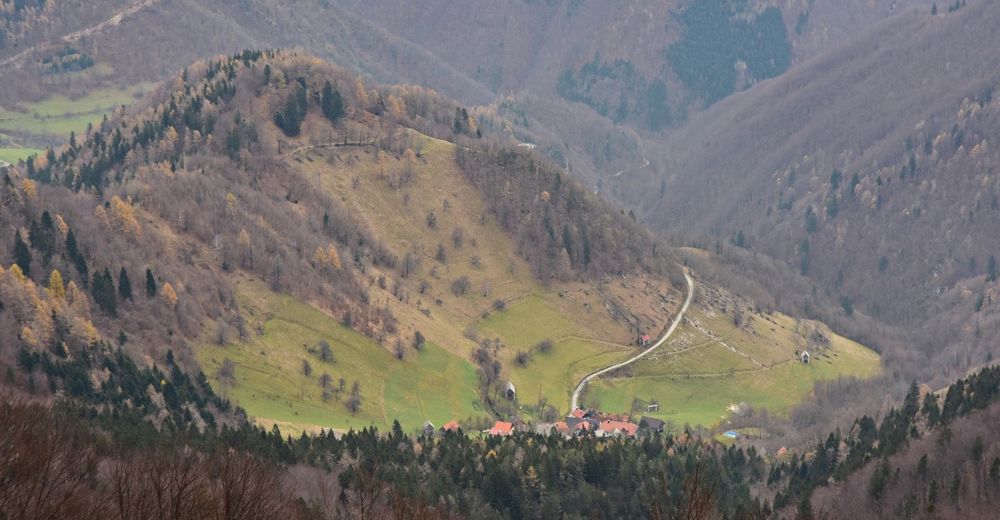
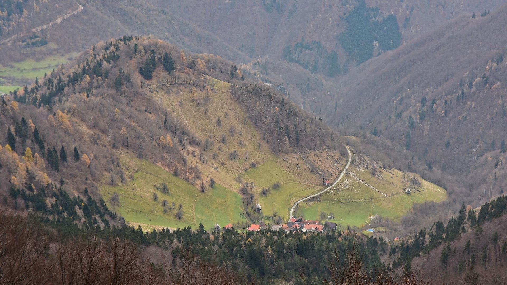
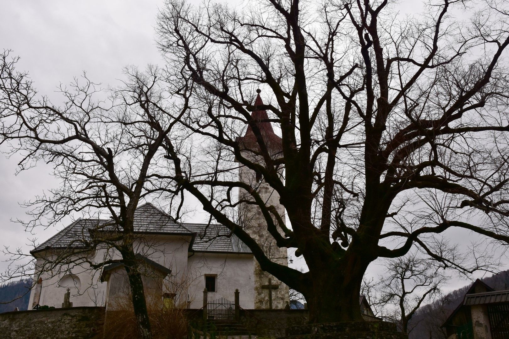
Old linden tree in the centre of the village of Rut
- Hoogteprofiel
-
 © outdooractive.com
-

-
AuteurDe rondleiding Mule trail 1932, old military trail beneath the peaks of the Tolmin Mountain chain wordt gebruikt door outdooractive.com op.
GPS Downloads


Algemene info
Cultureel/Historisch
Flora
Fauna
Veelbelovend