

© Turizem Dolina Soce - Darjo Berra

© Turizem Dolina Soce - Darjo Berra

© Turizem Dolina Soce - Darjo Berra

© Turizem Dolina Soce - Darjo Berra

© Turizem Dolina Soce - Darjo Berra

© Turizem Dolina Soce - Darjo Berra

© Turizem Dolina Soce - Darjo Berra

© Turizem Dolina Soce - Darjo Berra

© Turizem Dolina Soce - Darjo Berra

© Turizem Dolina Soce - Darjo Berra

- Korte beschrijving
-
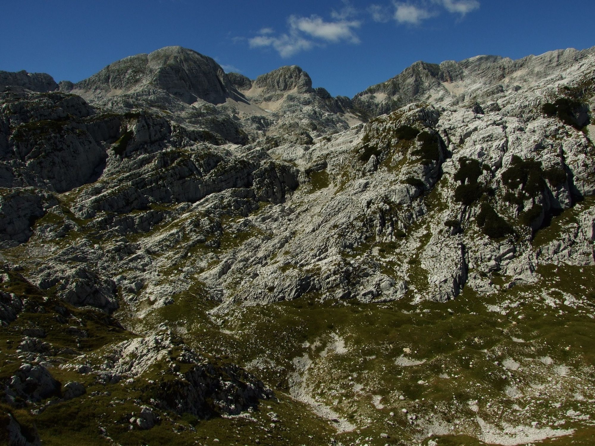
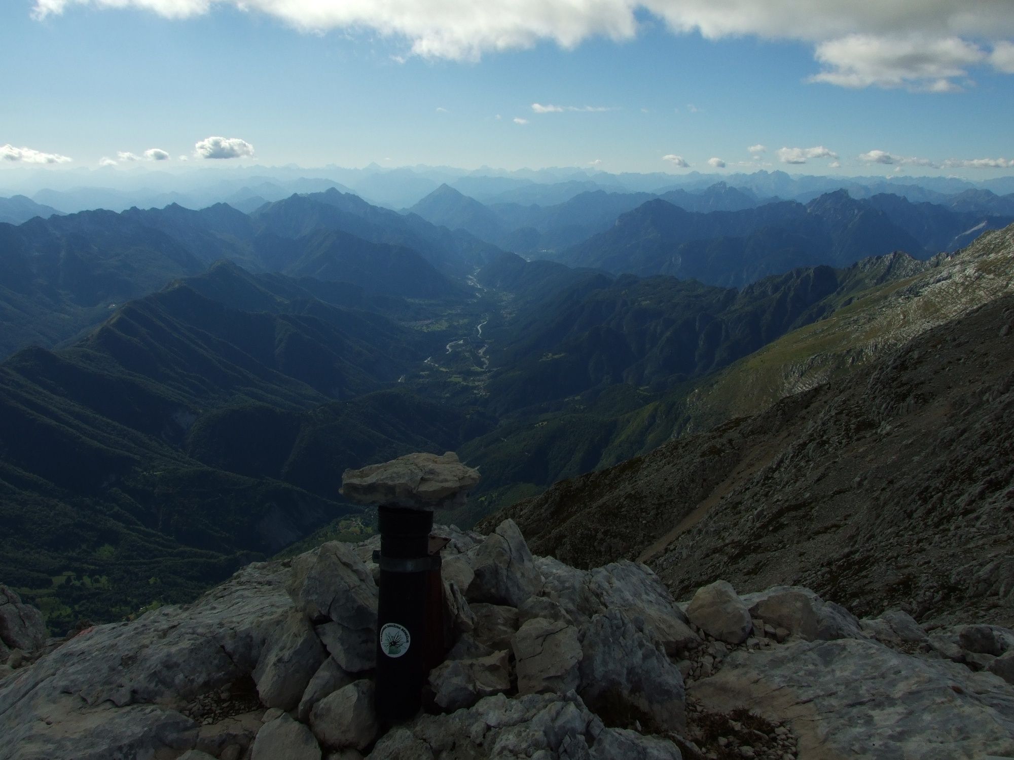
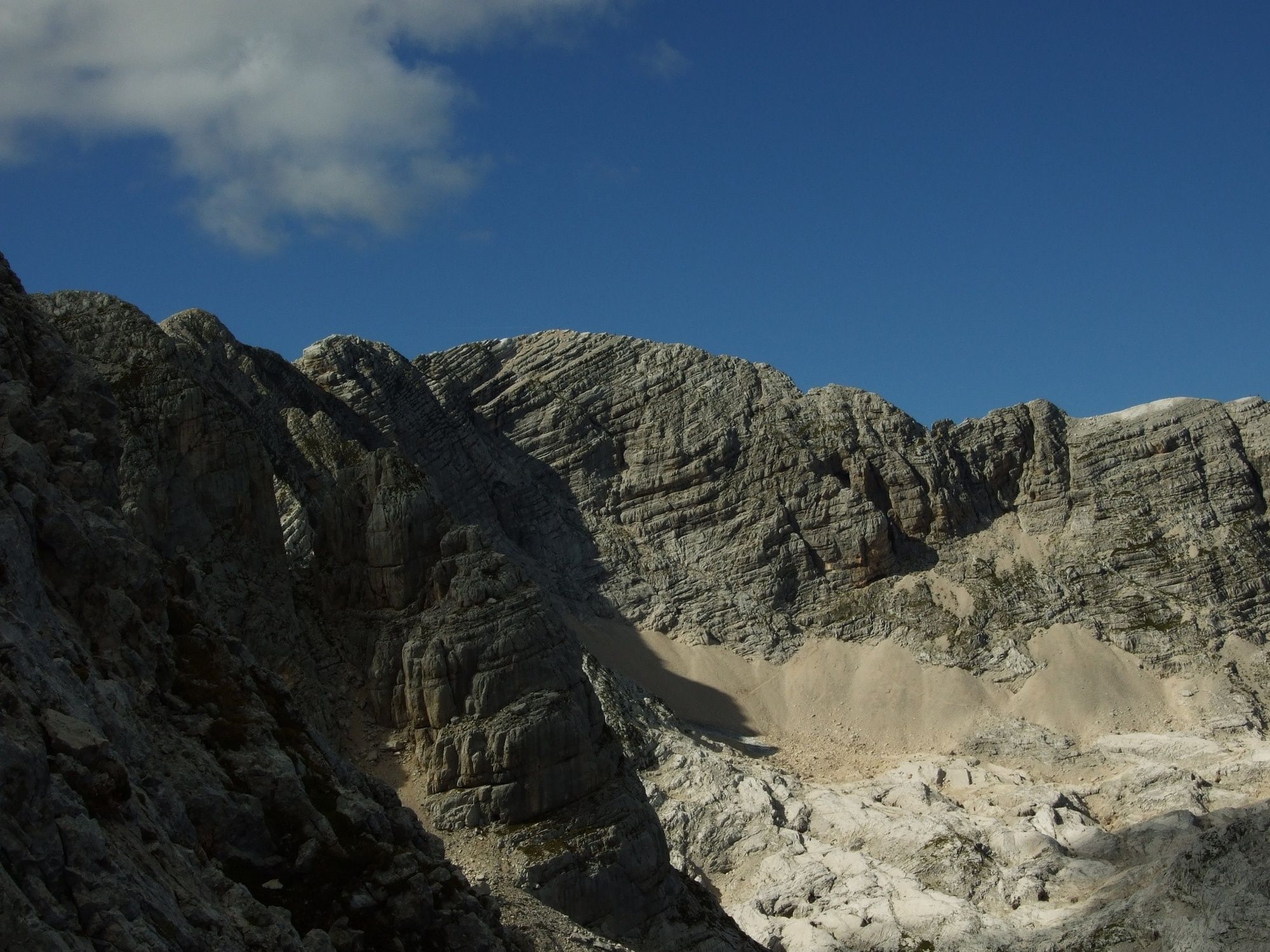
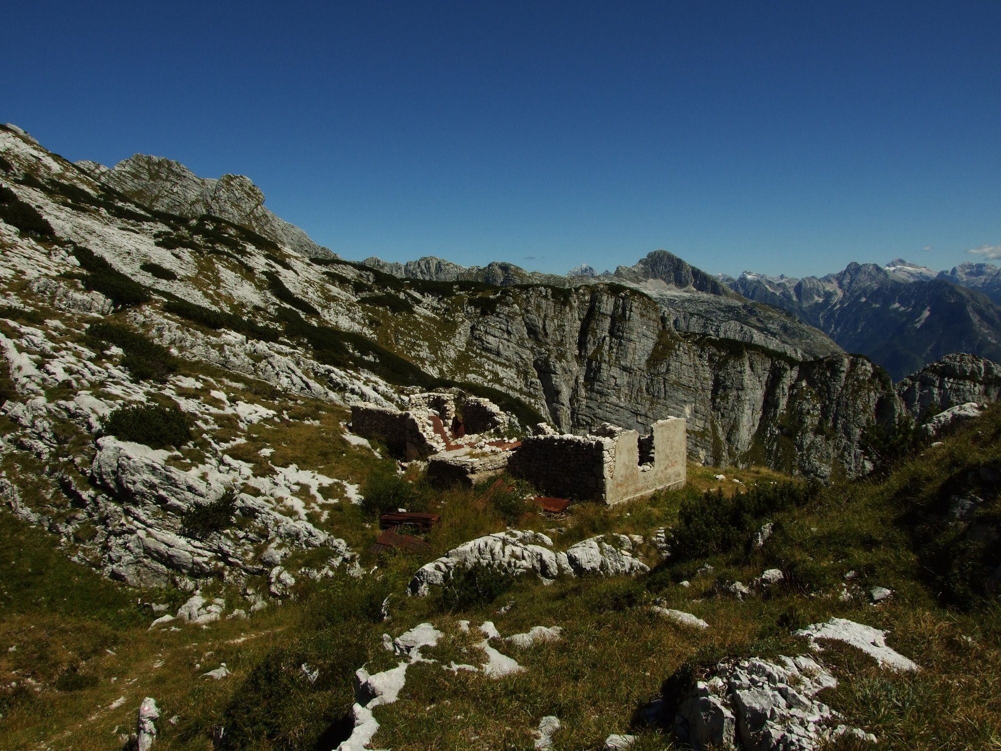
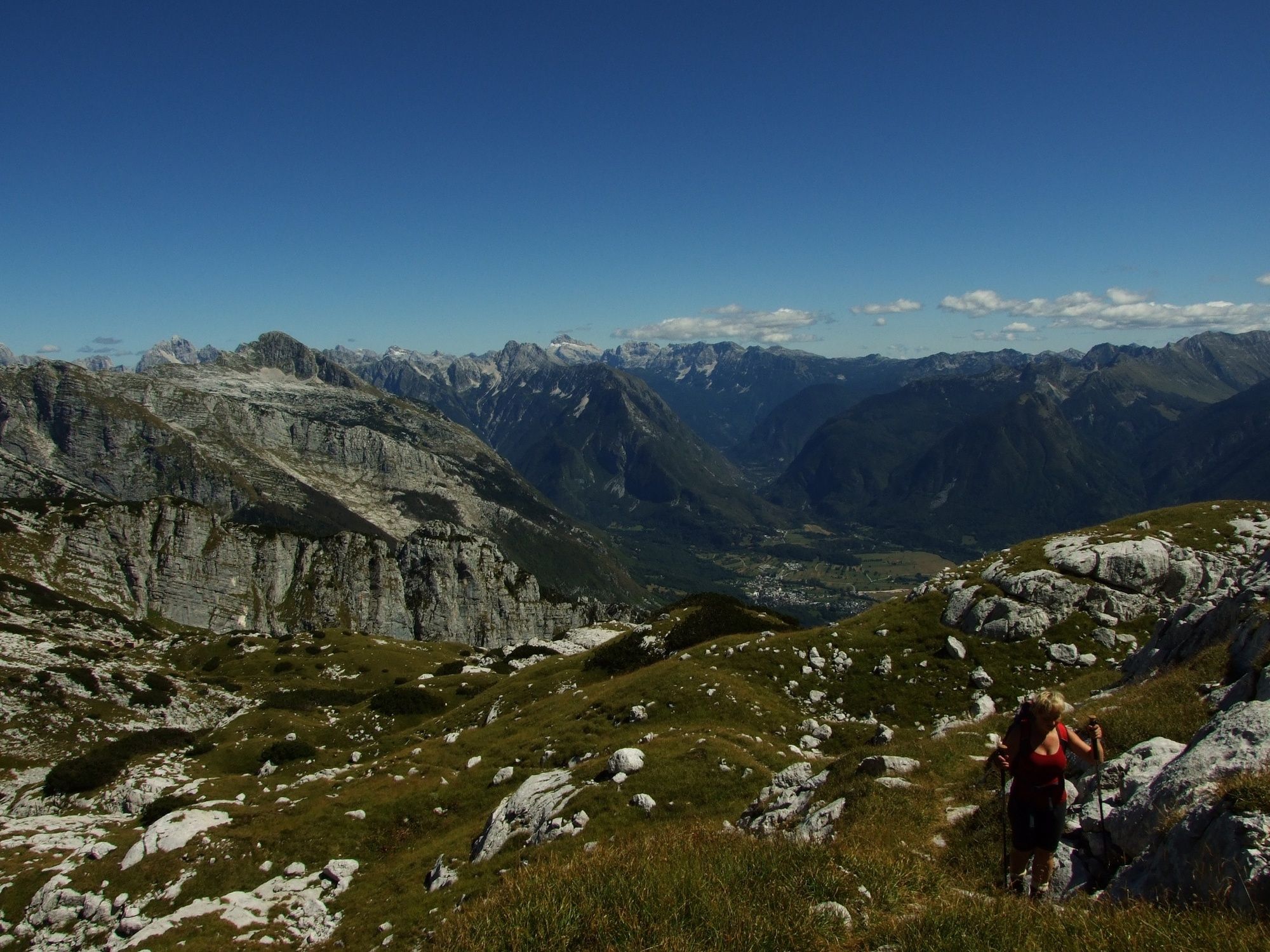
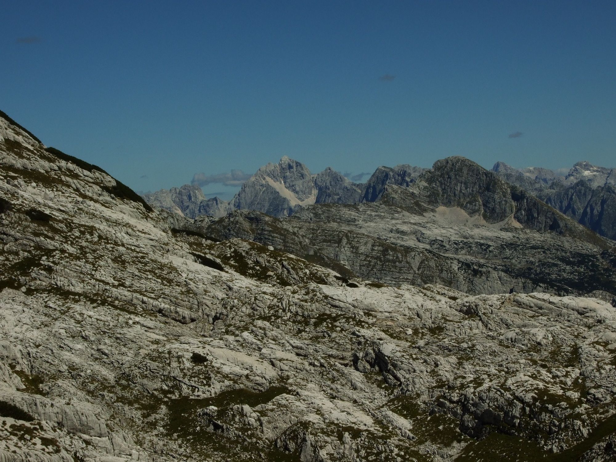
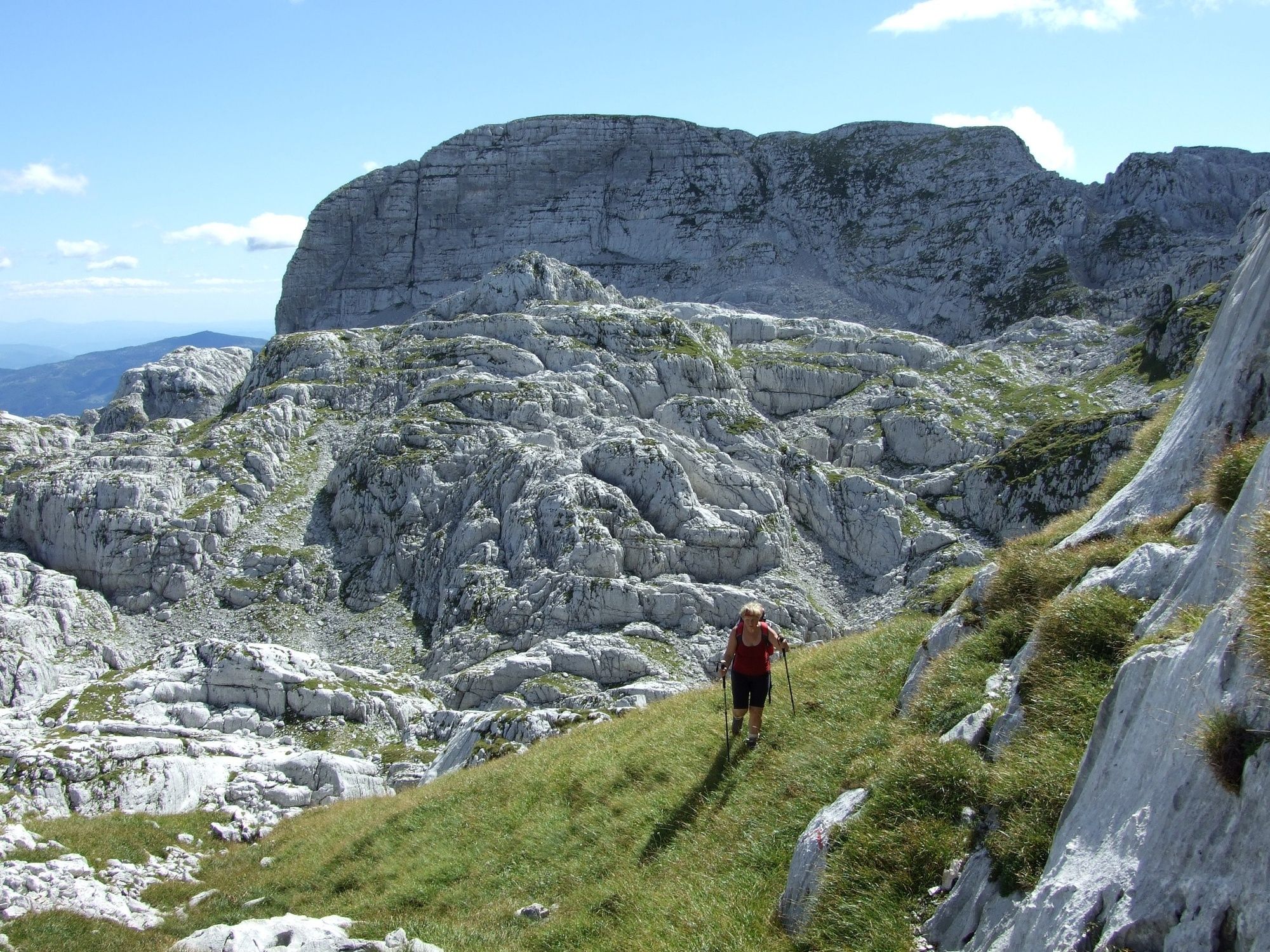
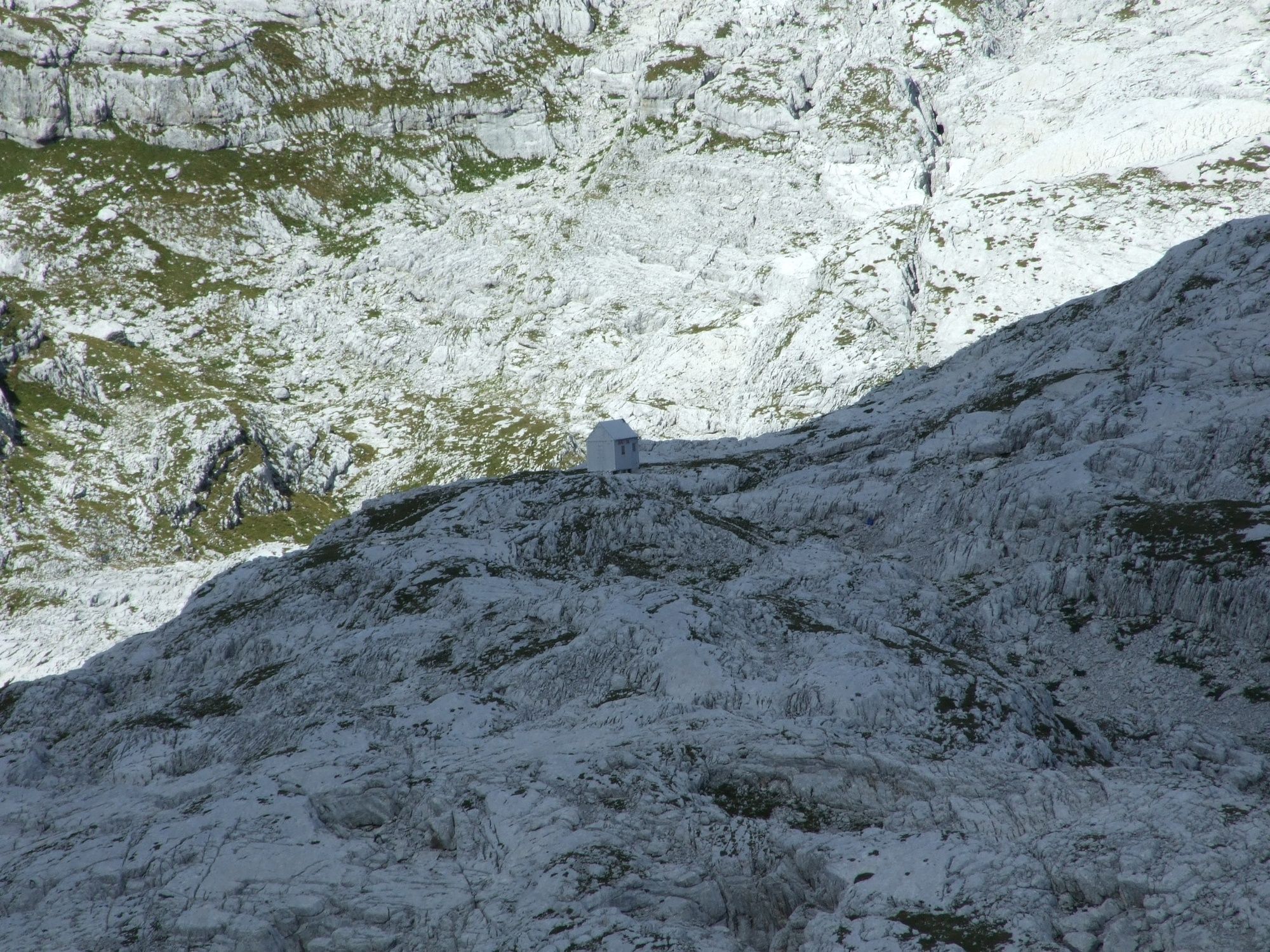
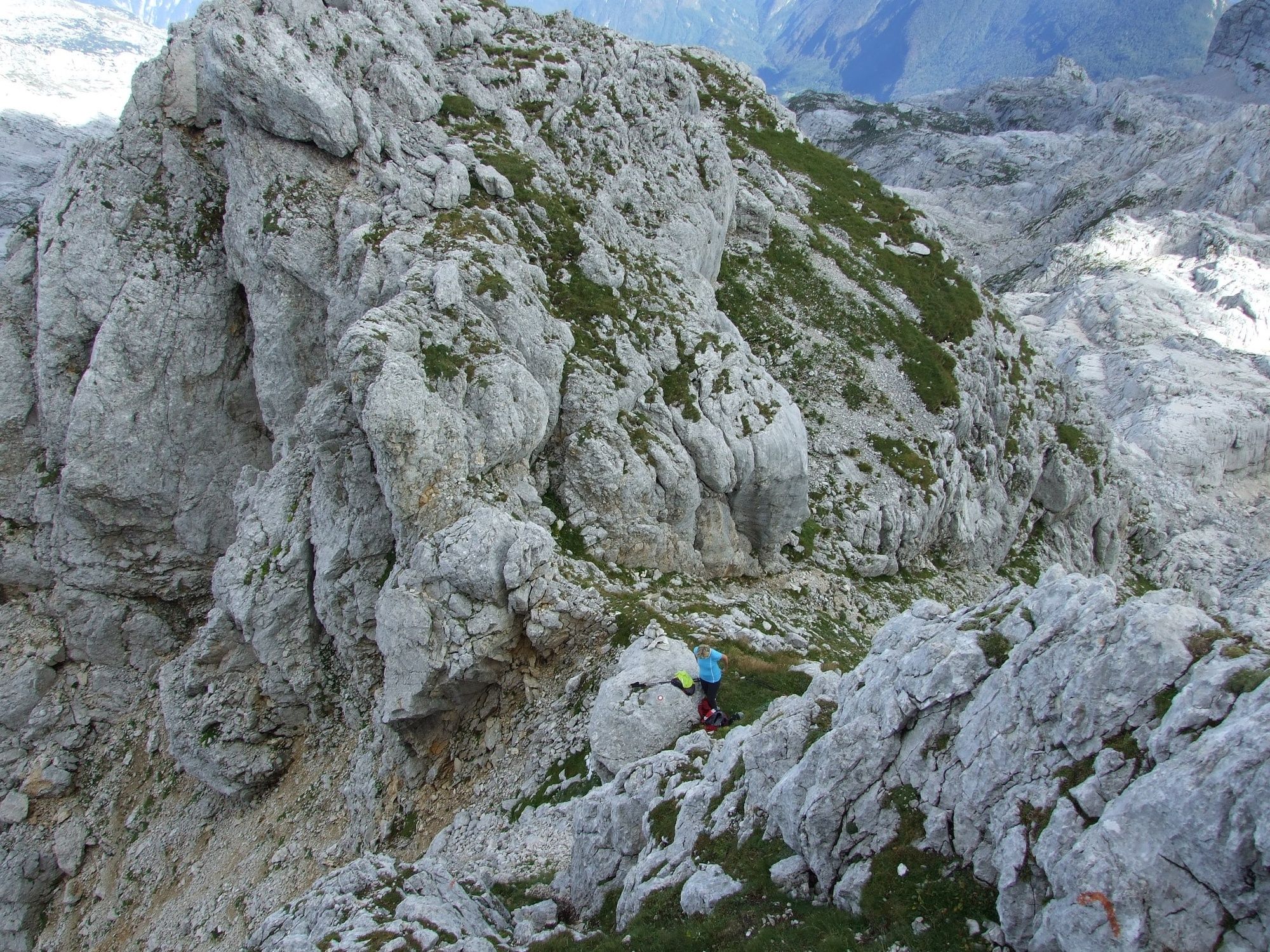
This trail leads from the pleasant shade of the Gozdec forest to the Karst world of the Kaninski podi Plateau and the high-altitude Western Julian Alps.
- Moeilijkheid
-
medium
- Waardering
-
- Route
-
Vodni vir1,2 kmLasca Plagna (2.448 m)5,9 kmVodni vir10,6 km
- Beste seizoen
-
janfebmrtaprmeijunjulaugsepoktnovdec
- Maximale hoogte
- 2.404 m
- Bestemming
-
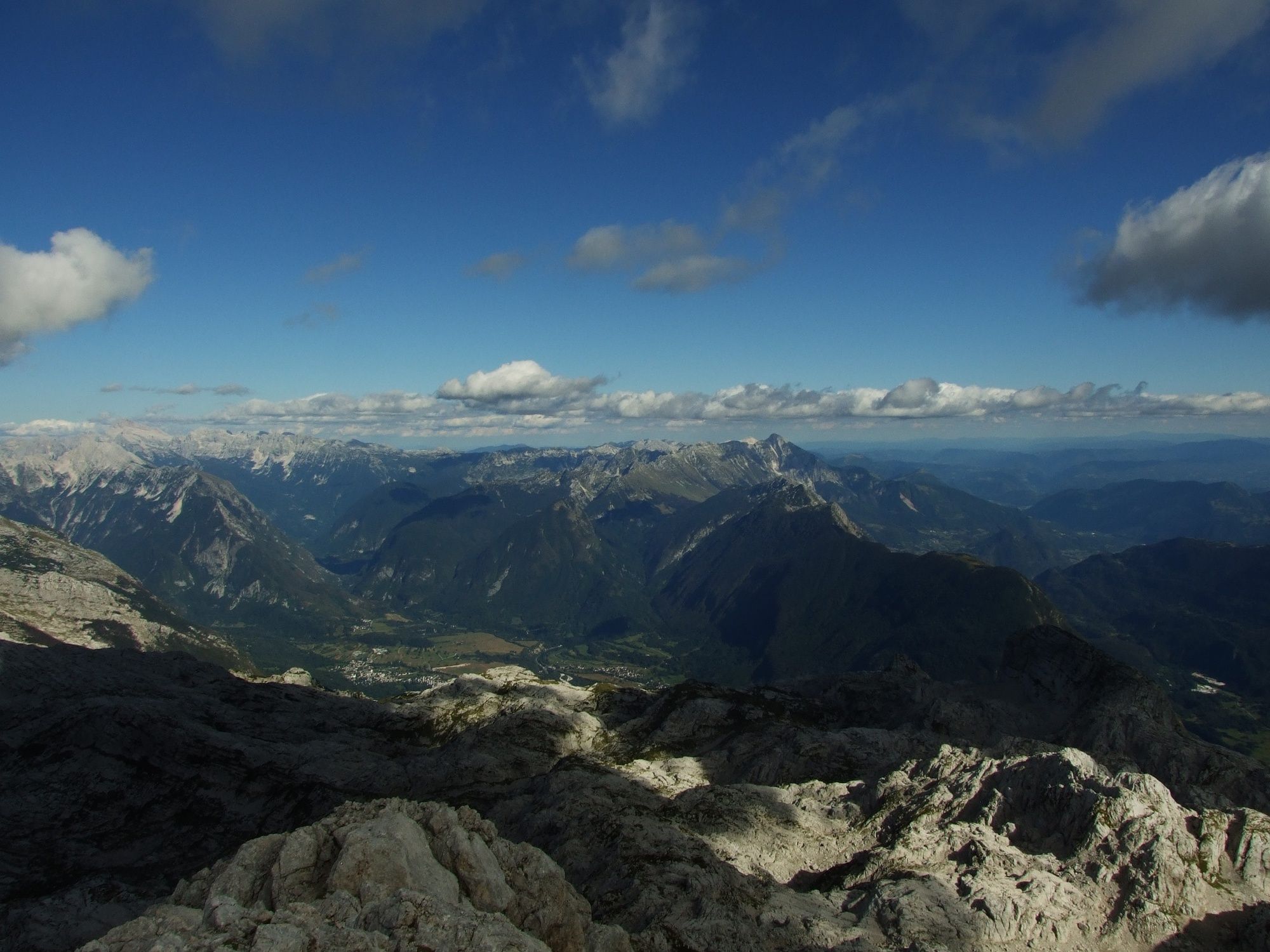
Mt. Vrh Laške Planje (2448 m)
- Hoogteprofiel
-
 © outdooractive.com

-

-
AuteurDe rondleiding Mt. Vrh Laške Planje (2448 m) wordt gebruikt door outdooractive.com op.
GPS Downloads


Algemene info
Cultureel/Historisch
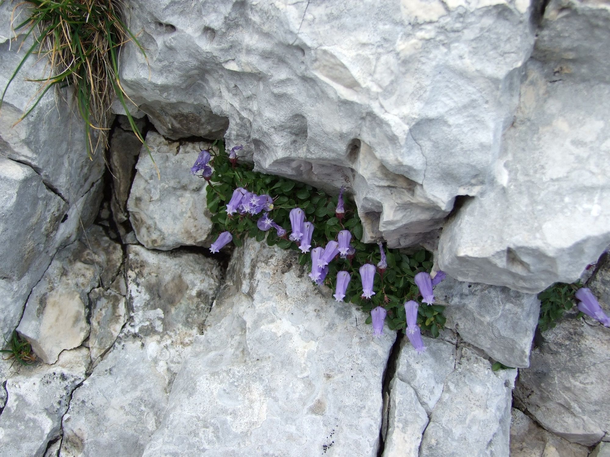
Flora
Fauna
Veelbelovend
Meer rondleidingen in de regio's


