© www.ringelspitz.ch - Michael Christ


© Chur - Die Alpenstadt - Michael Christ
© Michael Christ

© Chur - Die Alpenstadt - Michael Christ

© Yvonne Bollhalder - Michael Christ

© Chur - Die Alpenstadt - Michael Christ
© Andrea Badrutt - Michael Christ

- Korte beschrijving
-
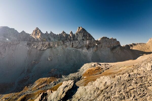
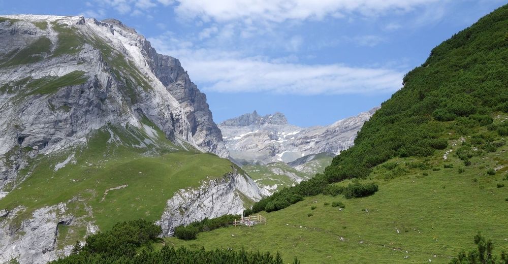
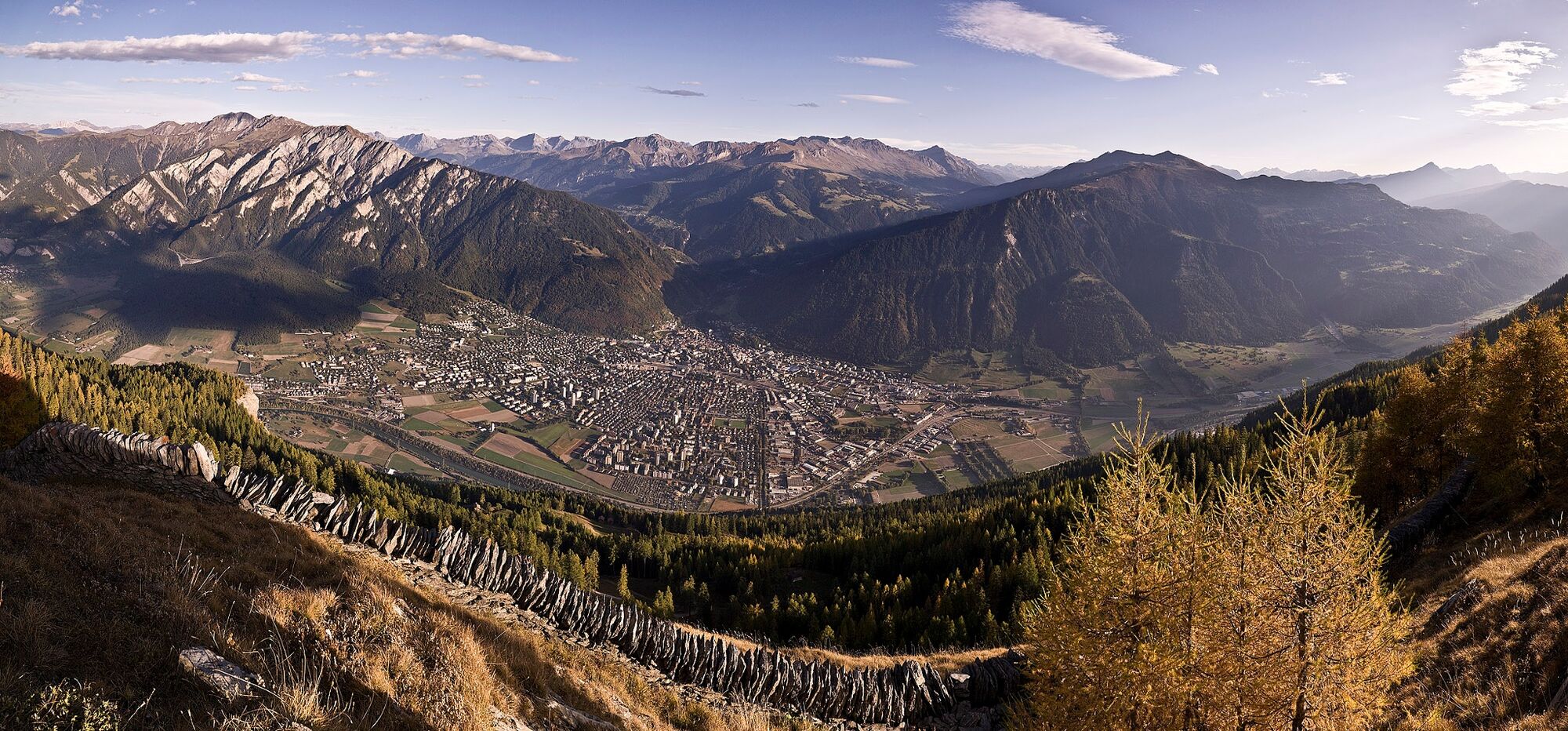
Three-day hike along the fascinating mountain ranges of Calanda and the Ringelspitz massif, which is part of the UNESCO World Heritage Site Sardona.
- Moeilijkheid
-
medium
- Waardering
-
- Route
-
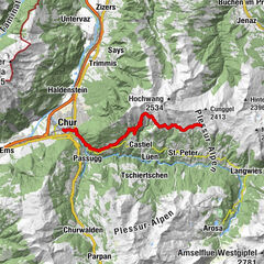
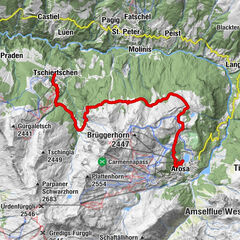
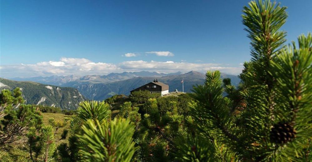
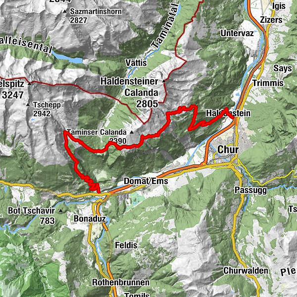
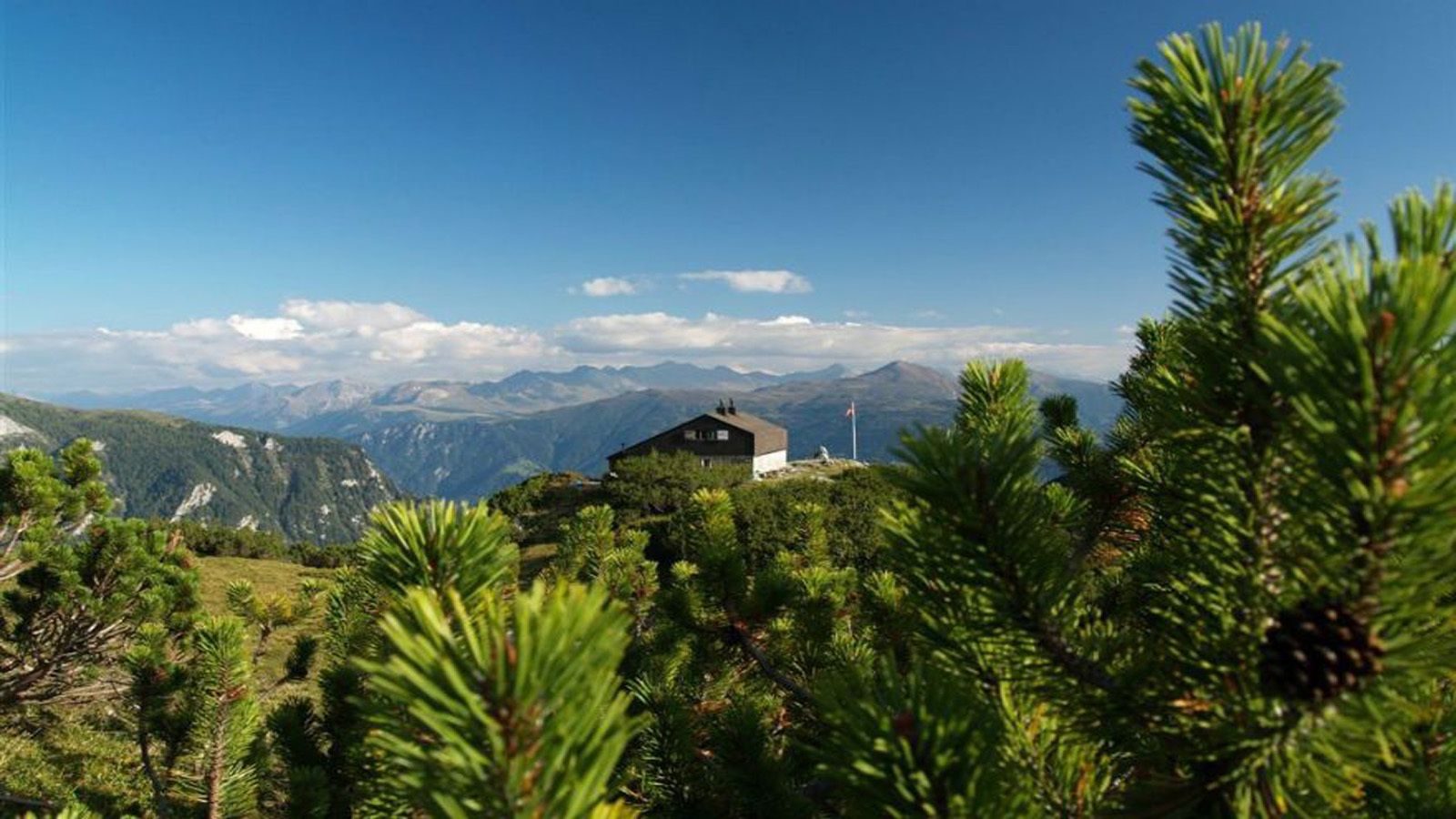
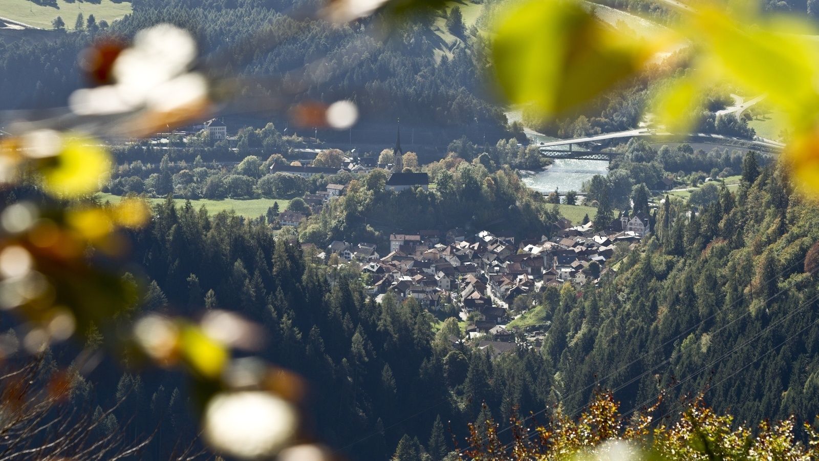
Haldenstein (566 m)0,4 kmCalanda0,4 kmReformierte Kirche0,5 kmChur (593 m)2,6 kmNesselböden4,7 kmFuntanoljo5,2 kmCalandahütte8,8 kmKunkelspass (1.357 m)17,6 kmPassherberge Überuf17,6 kmRingelspitzhütte SAC (1.998 m)20,9 kmTamins29,5 km
- Beste seizoen
-
janfebmrtaprmeijunjulaugsepoktnovdec
- Maximale hoogte
- 2.081 m
- Bestemming
-
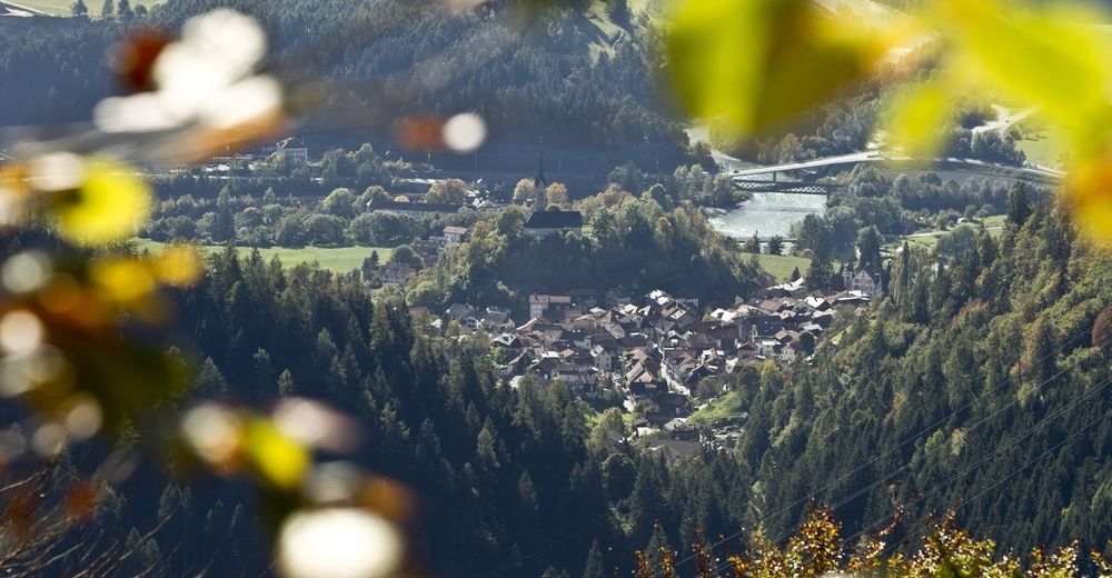
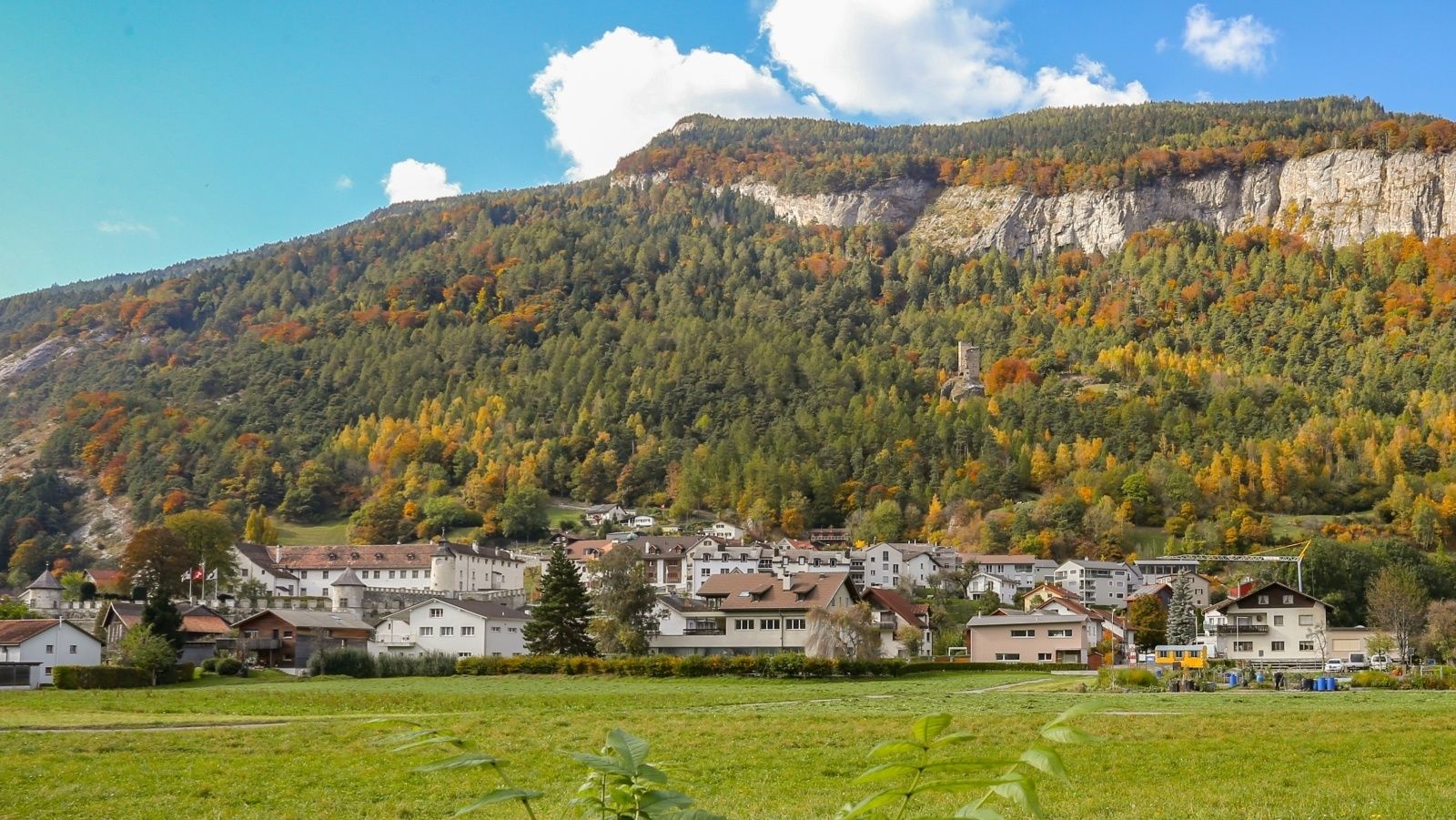
Tamins, village
- Hoogteprofiel
-
 © outdooractive.com


-

-
AuteurDe rondleiding Experience the Cabins high above the Chur Rhine Valley wordt gebruikt door outdooractive.com op.
GPS Downloads


Algemene info
Verfrissingsstop
Cultureel/Historisch
Flora
Fauna
Veelbelovend
Meer rondleidingen in de regio's
-
Heidiland
2201
-
Chur und Rheintal
868
-
Domat/Ems
235