© Unbekannt - Jonas Schaffner

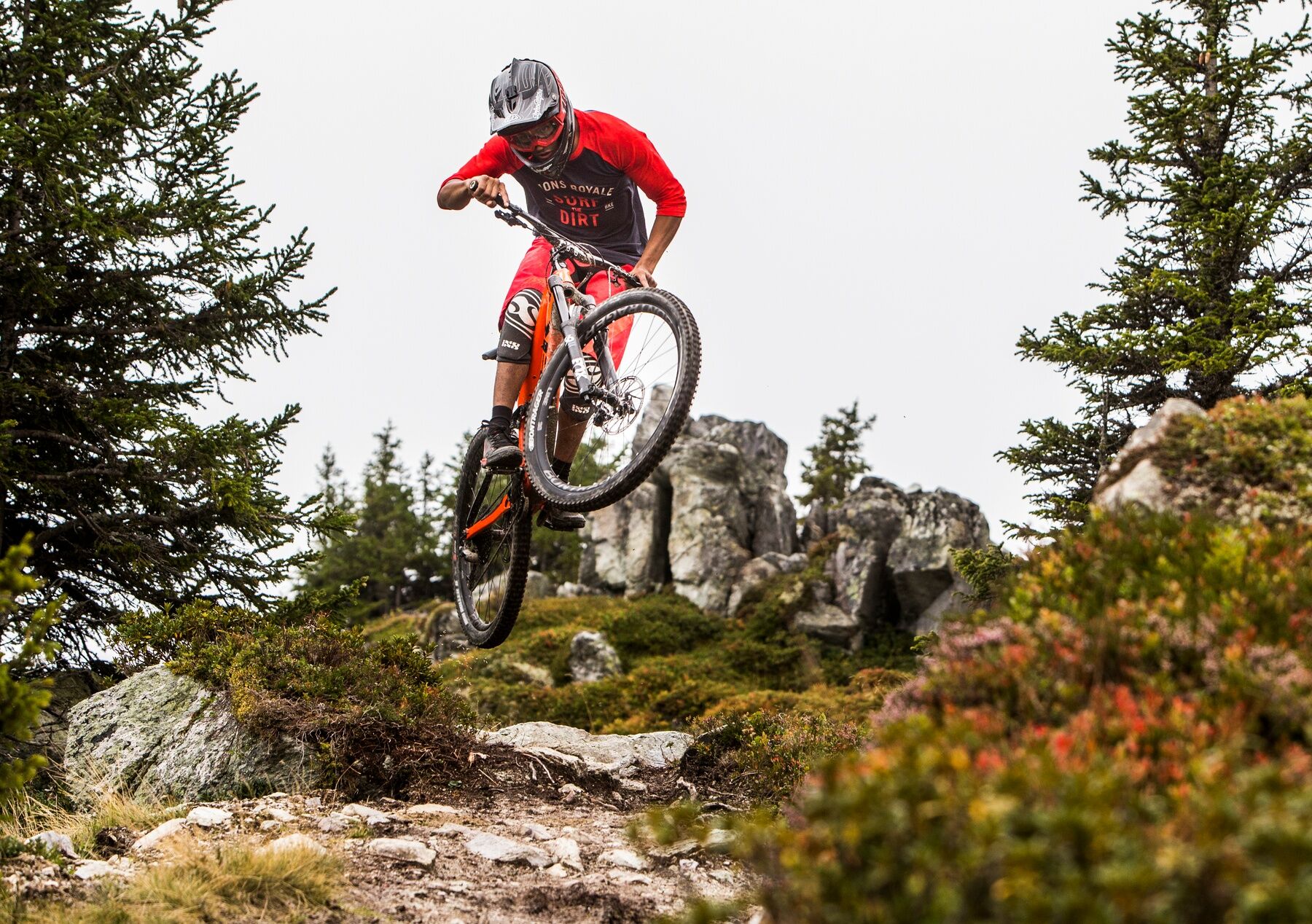
© Flims Laax Falera - Pascal Krieger

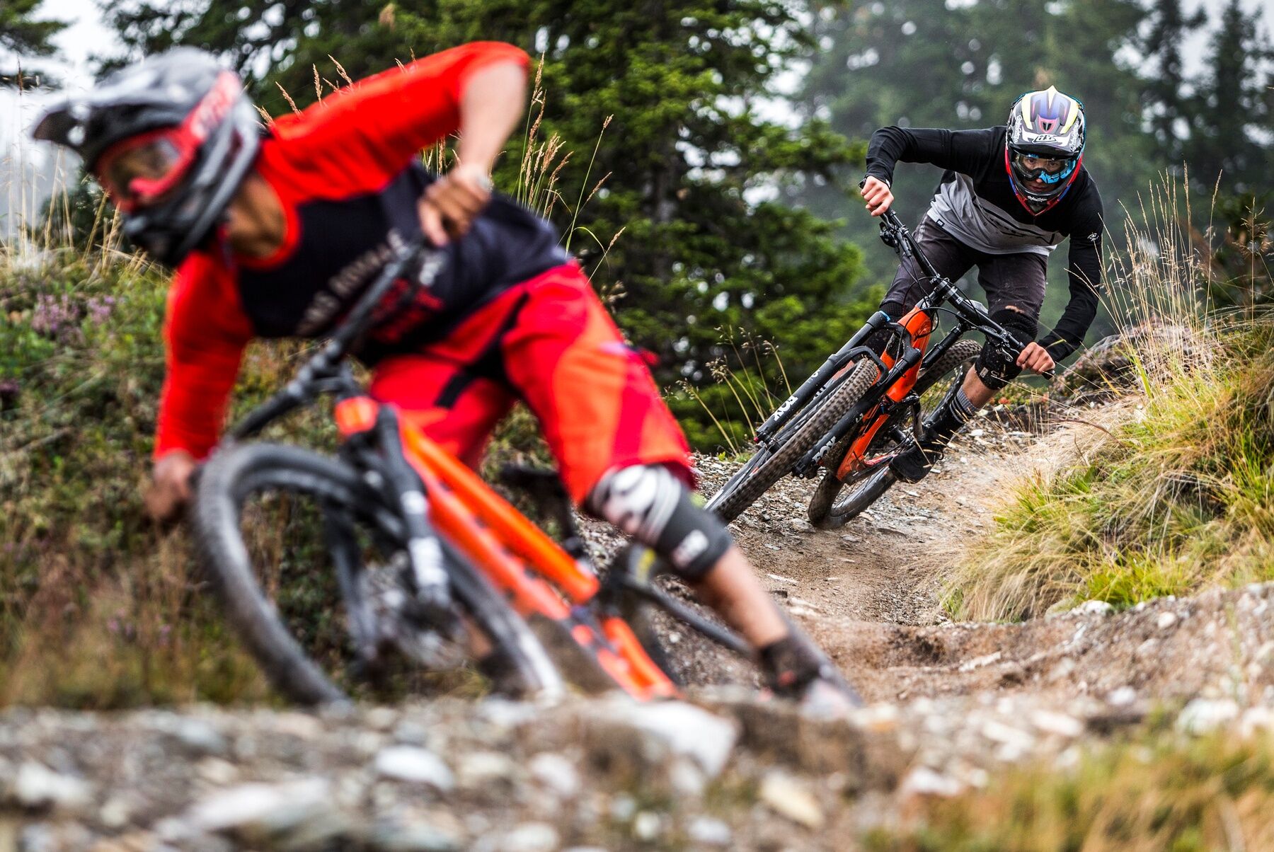
© Flims Laax Falera - Pascal Krieger

© Flims Laax Falera - Pascal Krieger

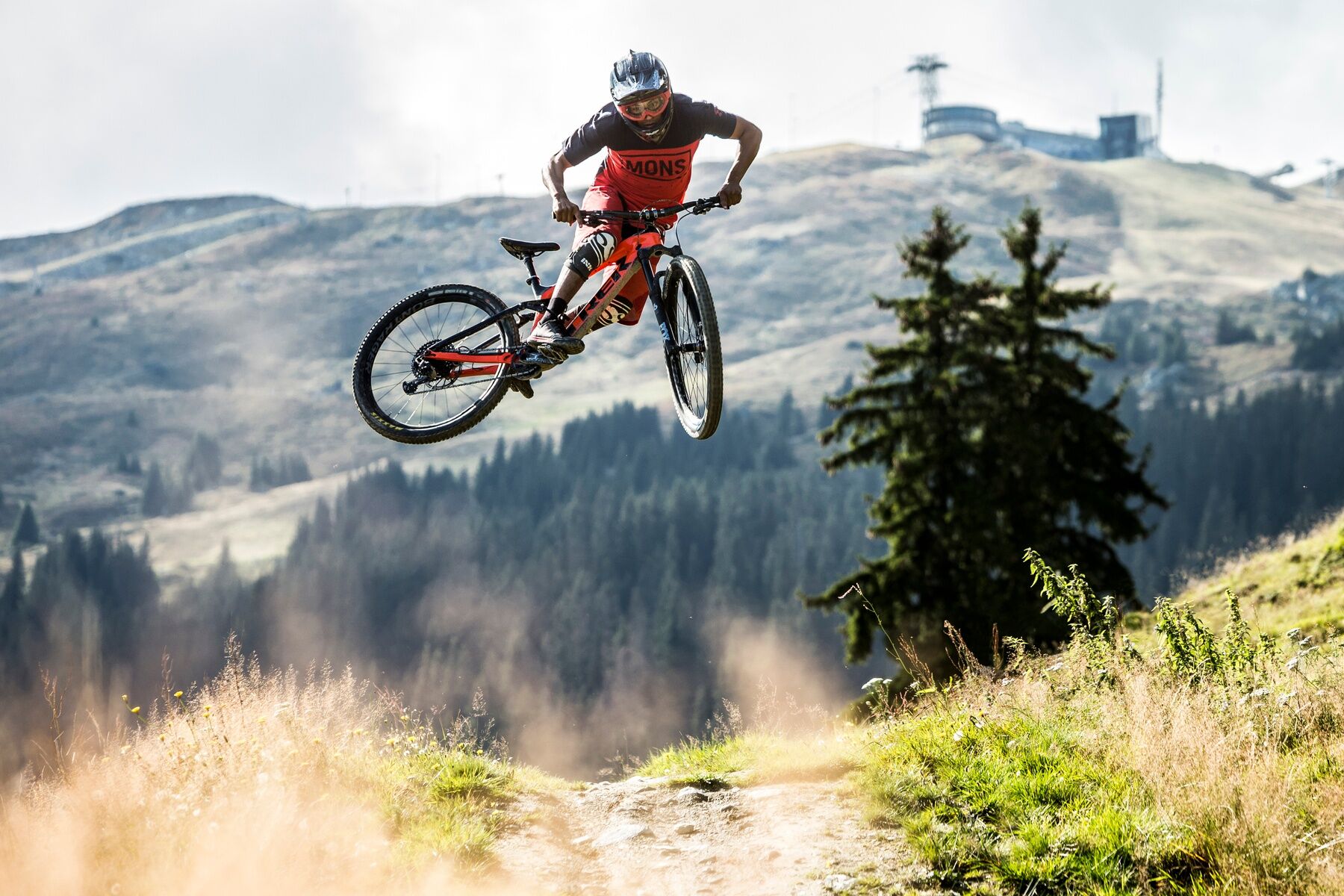
© Unbekannt - Jonas Schaffner

© Unbekannt - Jonas Schaffner

- Korte beschrijving
-
Snowline map
While at higher altitudes there is at best already snow, the trails in the valley are still free of snow. Our interactive snow depth map helps you to plan your tour. Here you can see at a glance at www.flims.com/schneesituation where you can already expect snow on the paths and trails and where you can still be on the road without getting cold feet.
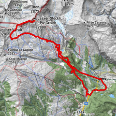
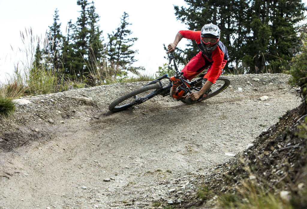
The freeride route from Crap Sogn Gion to Laax offers pure action. The 7-kilometre-long route is technically challenging and offers an absolute flower experience from resident to resident.
- Moeilijkheid
-
zwaar
- Waardering
-
- Route
-
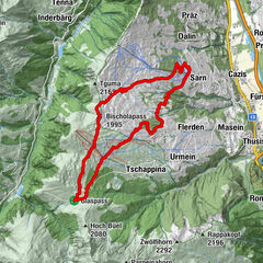
Murschetg (1.083 m)Larnags0,6 kmGalaaxy4,0 kmCrap Sogn Gion4,1 kmMurschetg (1.083 m)12,1 km
- Beste seizoen
-
janfebmrtaprmeijunjulaugsepoktnovdec
- Maximale hoogte
- 2.207 m
- Bestemming
-
Laax, Murschetg
- Hoogteprofiel
-
 © outdooractive.com


- Auteur
-
De rondleiding Never End Trail wordt gebruikt door outdooractive.com op.
GPS Downloads


Algemene info
Verfrissingsstop
Meer rondleidingen in de regio's
-
Glarnerland
341
-
Flims Laax Falera
226
-
Castrisch
120


")