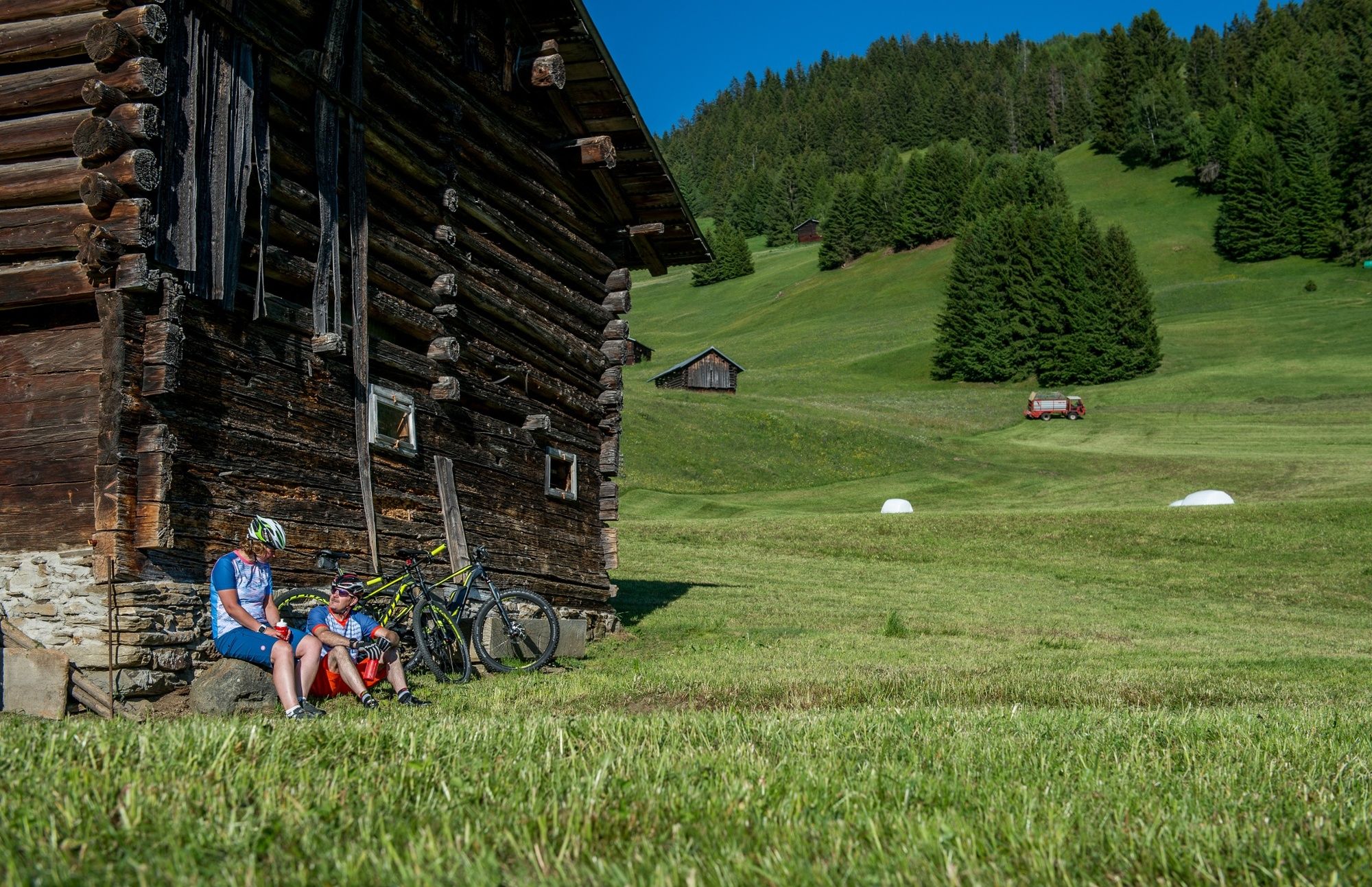
© Surselva Tourismus AG - Markus Isenmann

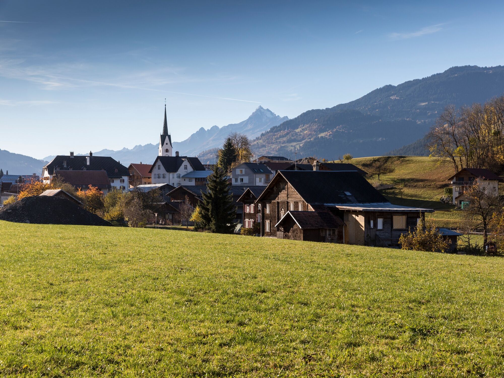
© Surselva Tourismus AG - Dani Ammann Photography

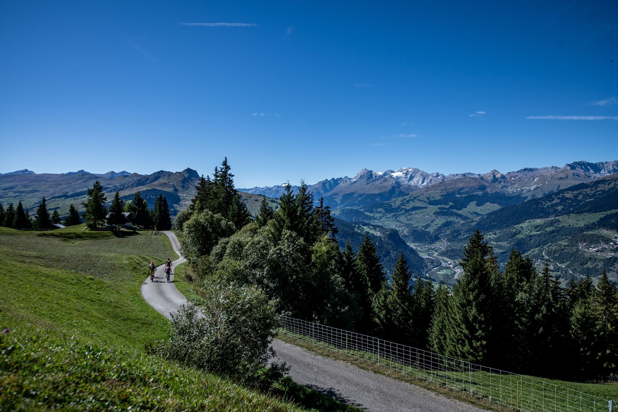
© Surselva Tourismus AG - Joel de Buren

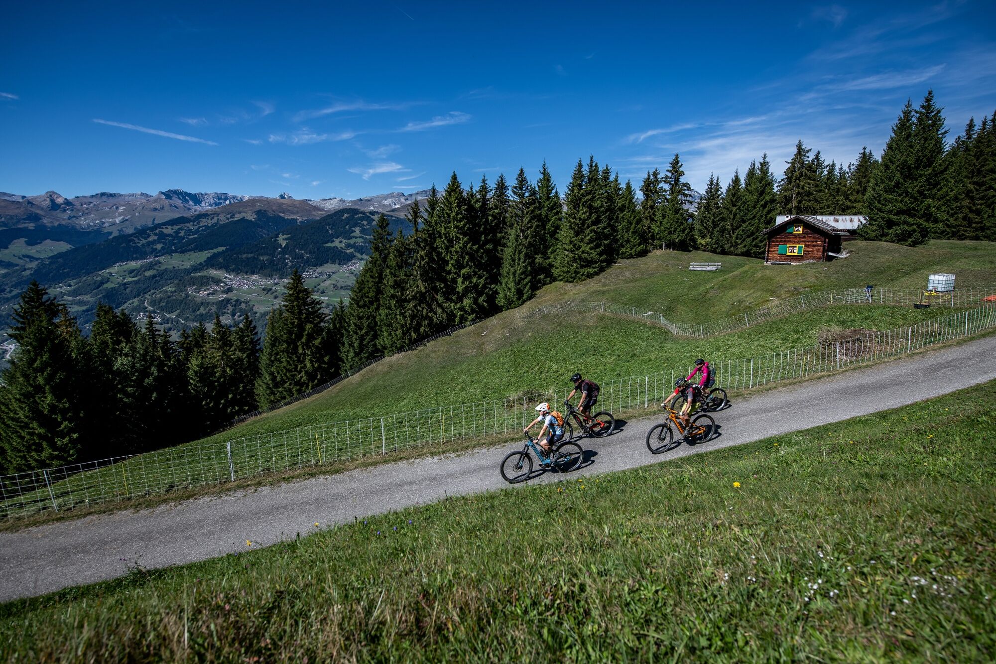
© Surselva Tourismus AG - Nordlichtphoto

© Surselva Tourismus AG - Markus Isenmann

© Surselva Tourismus AG - Markus Isenmann

© Surselva Tourismus AG - Markus Isenmann
- Korte beschrijving
-
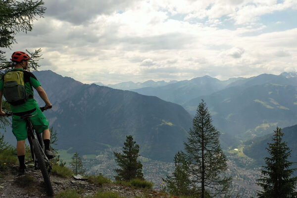
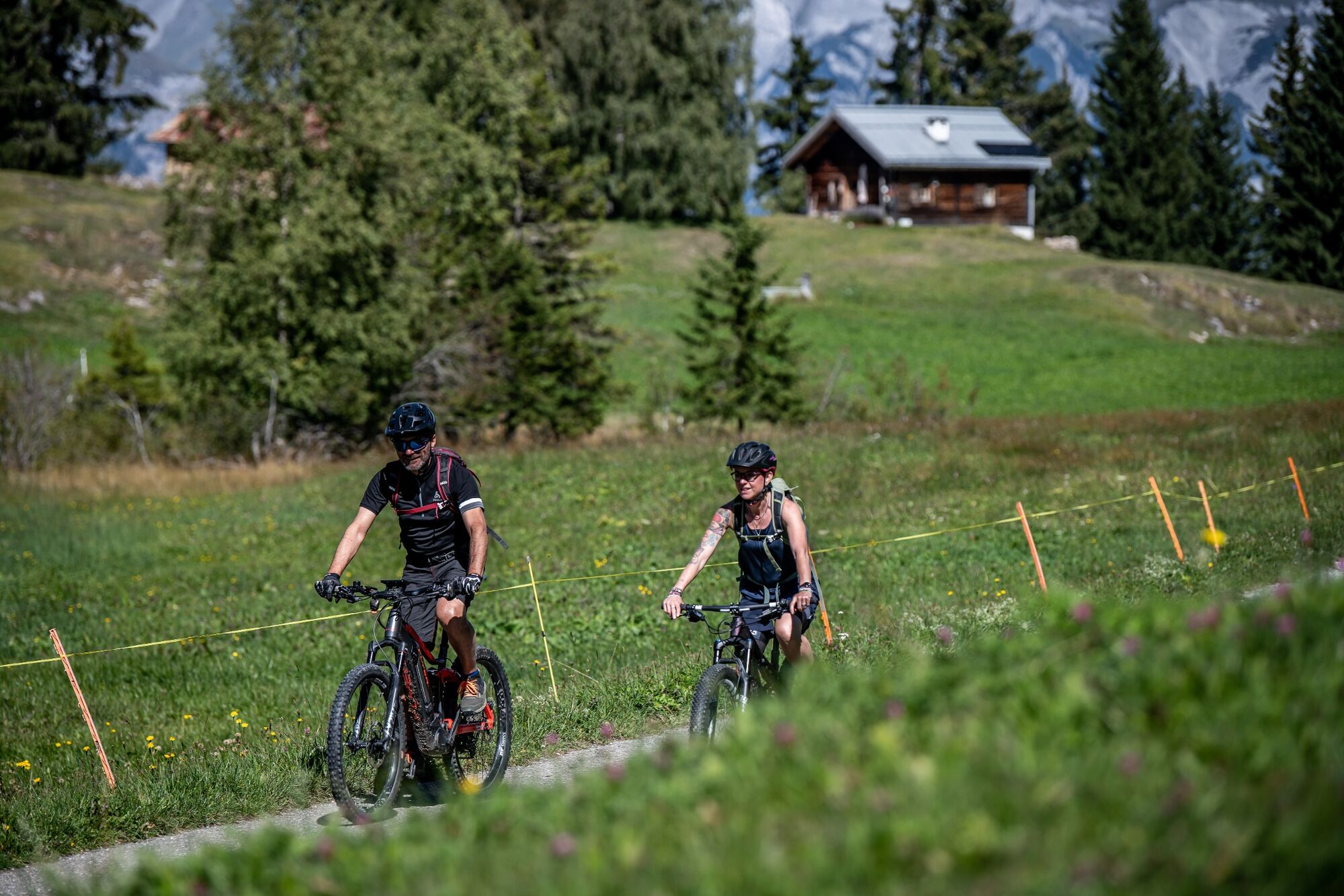
Längere, abwechslungsreiche und technisch einfache Rundtour um den oberen Teil der Rheinschlucht mit Ziel und Start in Ilanz, der ersten Stadt am jungen Rhein.
- Moeilijkheid
-
medium
- Waardering
-
- Route
-
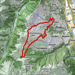
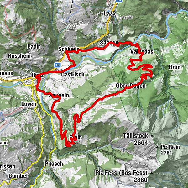
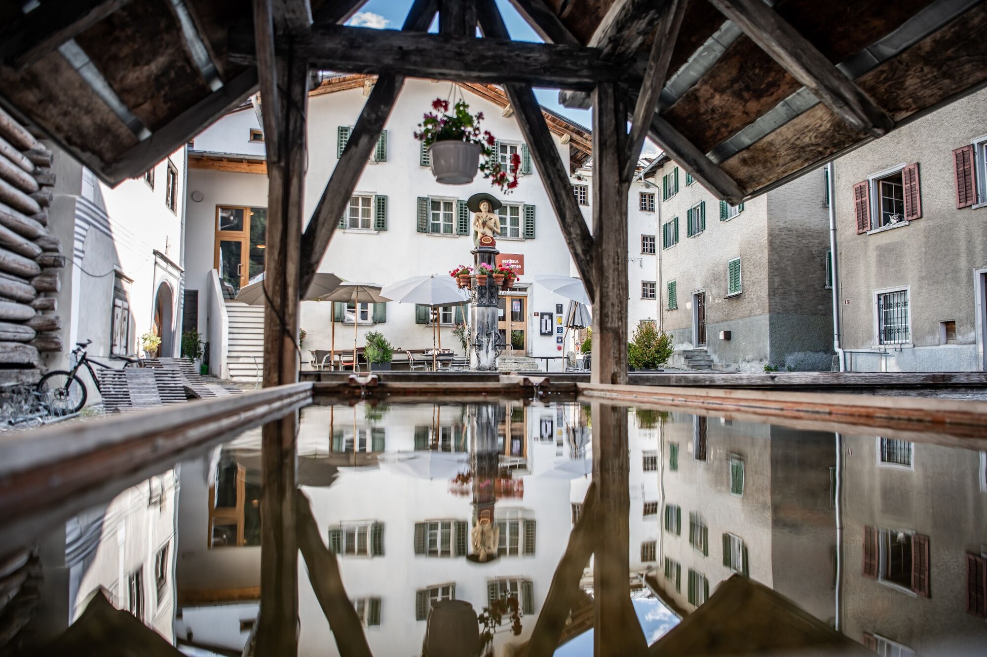
Ilanz (702 m)0,1 kmCasanova1,0 kmKästris (722 m)2,1 kmSchluein3,7 kmUstria Sil Plaz5,7 kmSagens (779 m)6,2 kmStiva Grischuna6,4 kmValendas-Sagogn (669 m)8,3 kmValendas9,5 kmGasthaus am Brunnen9,5 kmDorfbärg12,9 kmUnder Dutjen14,5 kmUf der Halda15,2 kmOber Dutjen16,6 kmLa Cresta17,6 kmDarmasal20,2 kmDarpinaus21,1 kmRiein (1.270 m)22,6 kmS. Nazarius22,7 kmQuadra23,2 kmGalogn23,9 kmPrauperver27,7 kmWallfahrtskapelle Sontga Fossa28,2 kmKirche Sevgein28,5 kmSeewis im Oberland (861 m)28,5 kmIlanz (702 m)31,0 km
- Beste seizoen
-
janfebmrtaprmeijunjulaugsepoktnovdec
- Maximale hoogte
- 1.588 m
- Bestemming
-
Bahnhof Ilanz
- Hoogteprofiel
-
 © outdooractive.com

-

-
AuteurDe rondleiding Where the Rhine is still bluecolored wordt gebruikt door outdooractive.com op.
GPS Downloads


Algemene info
Verfrissingsstop
Flora
Meer rondleidingen in de regio's
-
Glarnerland
341
-
Ilanz / Glion
188
-
Castrisch
122