


- Korte beschrijving
-
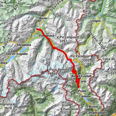
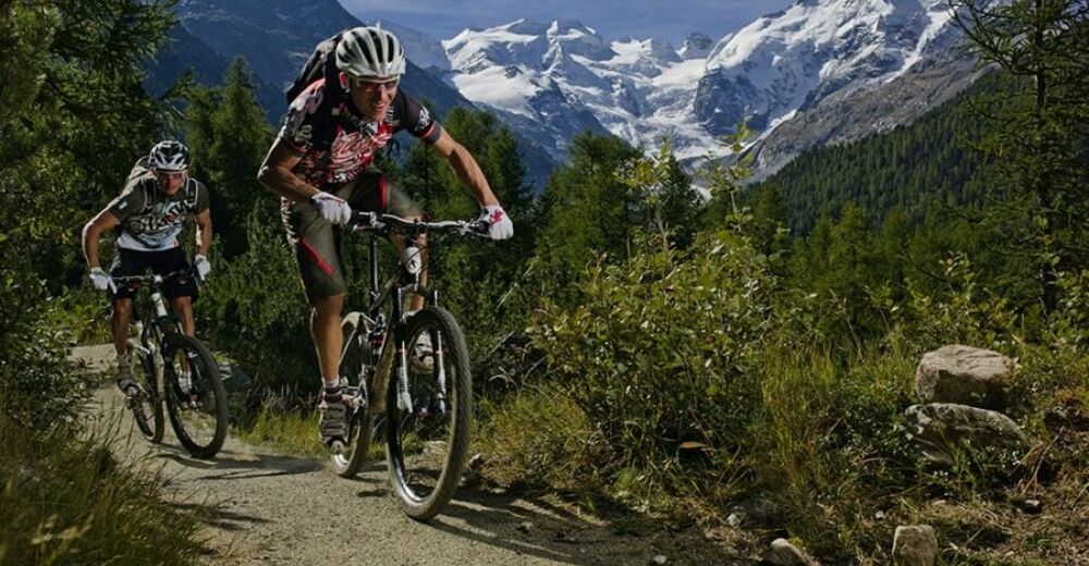
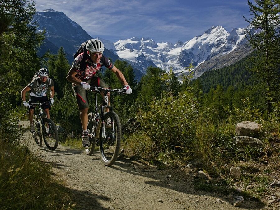
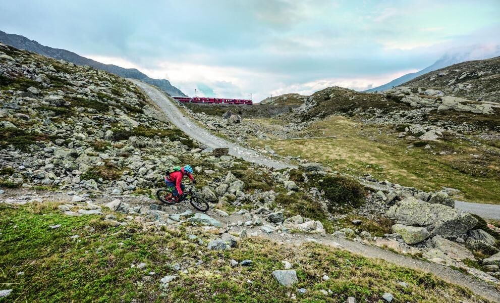
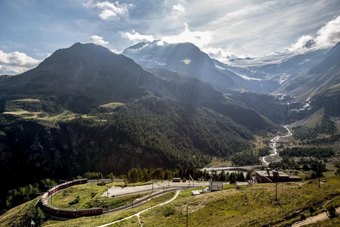
A trail tour from Pontresina to the Mediterranean Valposchiavo - with numerous scenic highlights on either side of the trail. Taking a break every now and then is therefore totally worth it.
- Moeilijkheid
-
medium
- Waardering
-
- Route
-
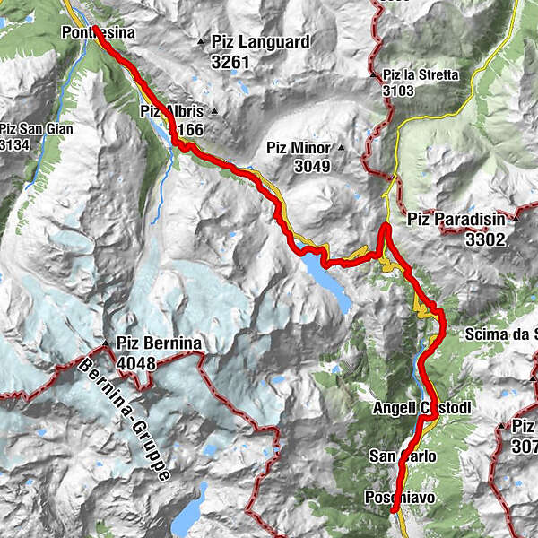
San NiculòSan Spiert0,0 kmPontresina (1.805 m)0,4 kmCascata da Bernina6,1 kmBernina Suot (2.046 m)8,5 kmAlpe di Bondo11,8 kmBahnhofbuffet Ospizio Bernina15,7 kmCambrena16,0 kmBerninapass 2330 m ü M.16,2 kmBerninapass (2.330 m)16,2 kmLa Rösa (1.871 m)22,8 kmSfazù25,3 kmPedemonte28,6 kmPedecosta29,2 kmAngeli Custodi30,1 kmRaviscé31,5 kmChiesa di San Carlo Borromeo31,8 kmSan Carlo32,1 kmPoschiavo (1.014 m)33,8 km
- Beste seizoen
-
janfebmrtaprmeijunjulaugsepoktnovdec
- Maximale hoogte
- 2.324 m
- Hoogteprofiel
-
 © outdooractive.com
-

-
AuteurDe rondleiding Bernina–Poschiavo (La Rösa) wordt gebruikt door outdooractive.com op.
GPS Downloads


Meer rondleidingen in de regio's