
Toerdatums
39,65km
1.570
- 2.287m
1.099hm
942hm
04:00h
- Korte beschrijving
-
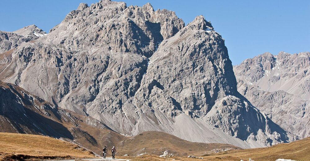
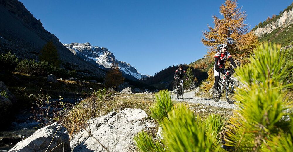
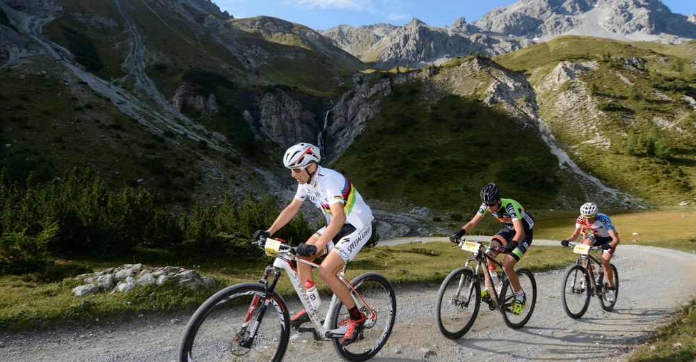
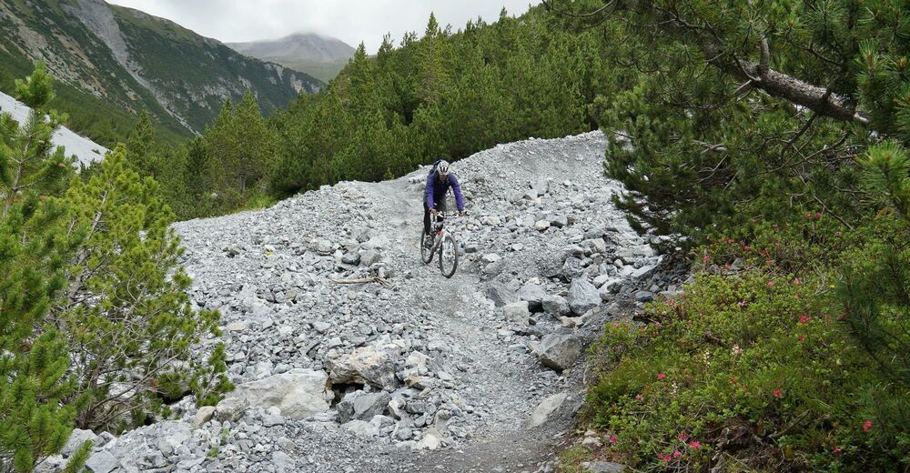
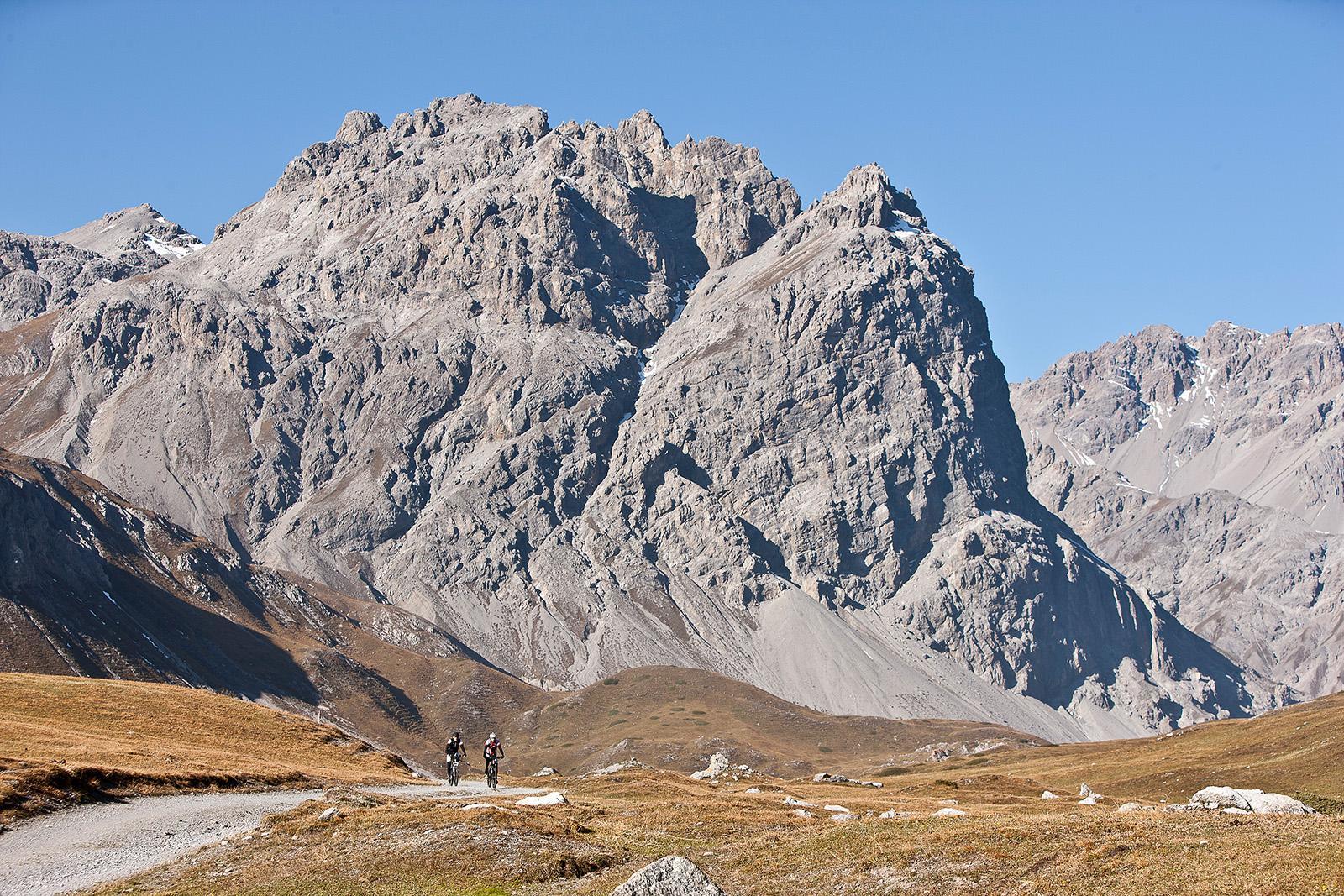
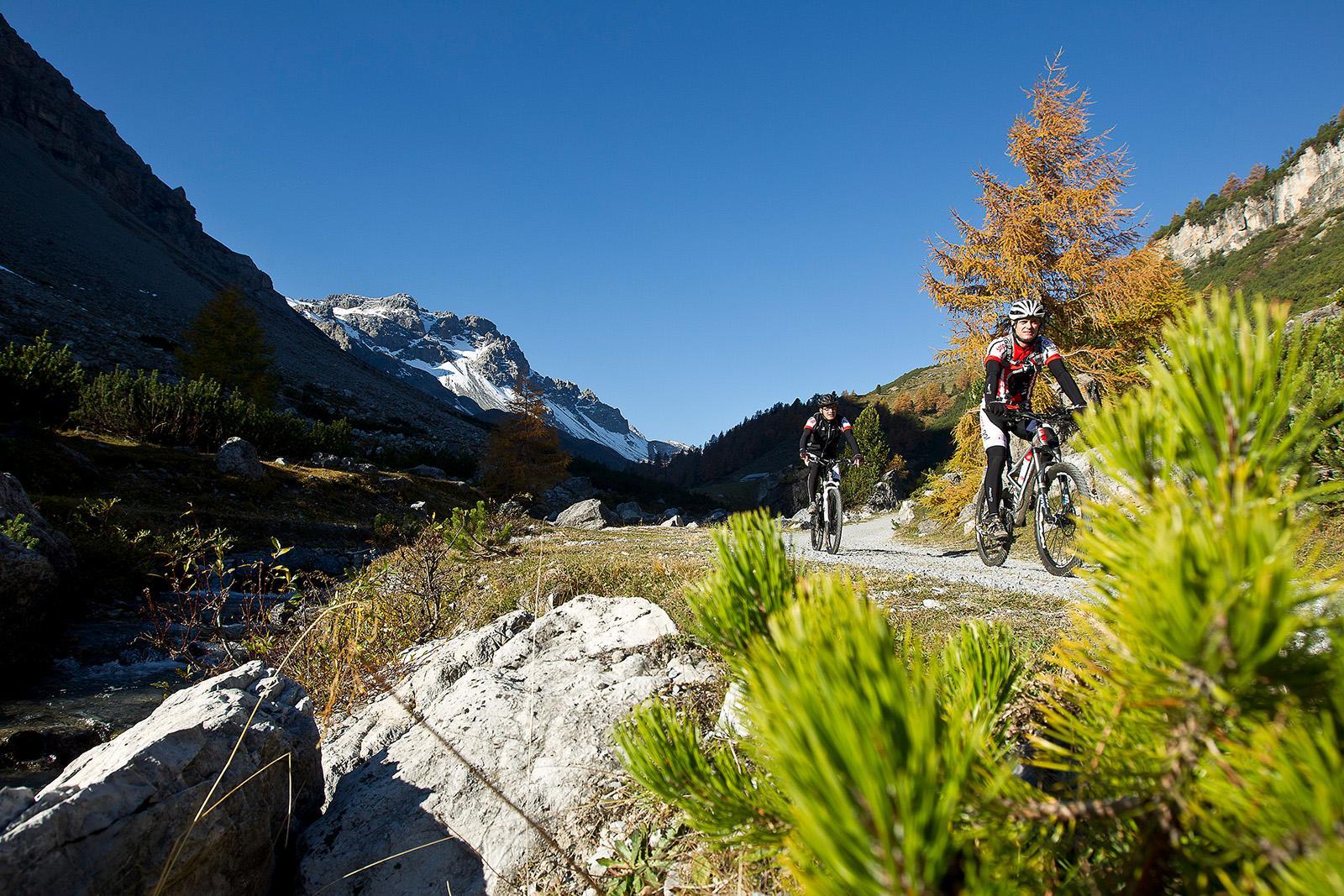
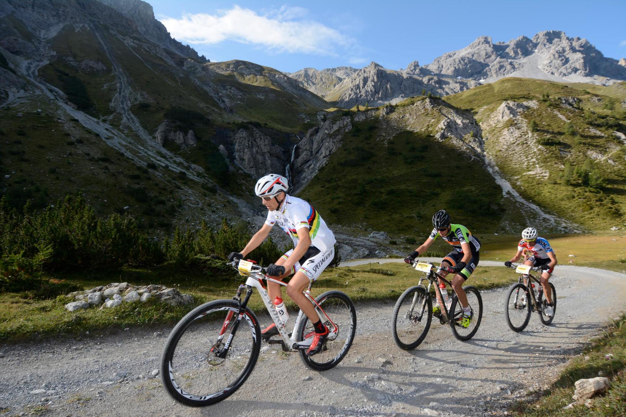
Vom sonnenverwöhnten Val Müstair durch das wilde und weite Val Mora zum Lago di S. Giacomo di Fraéle, weiter über Alpisella mit abschliessnder Abfahrt nach Livigno. 2 Pässe, 2 Seen, die intakte Natur und knackige Trails zeichnen die 2. Etappe Nationalpark Bike-Tour aus.
- Moeilijkheid
-
zwaar
- Waardering
-
- Startpunt
-
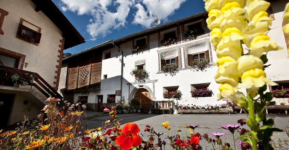
Tschierv (PostAuto-Haltestelle "Plaz") (1664 m)
- Route
-
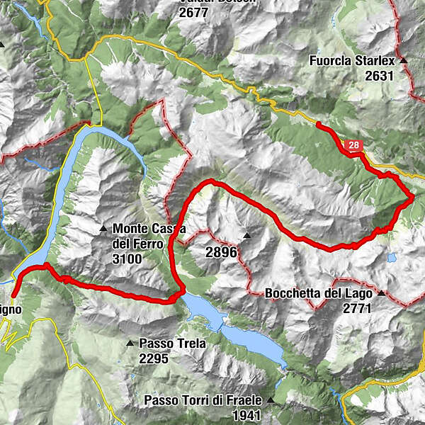
Cierfs (1.660 m)Reformierte Kirche0,1 kmOrasom Tschierv0,5 kmFuldera Daint2,7 kmFuldera (1.638 m)3,1 kmVal Mora20,4 kmMalga Alpisella32,2 kmPontino dell'Alpisella35,2 kmPonte del Brum39,1 km
- Beste seizoen
-
janfebmrtaprmeijunjulaugsepoktnovdec
- Maximale hoogte
- 2.287 m
- Bestemming
-
Livigno, Centro
- Kaartmateriaal
-
Bike Explorer „Unterengadin“, ISBN: 978-3-907738-31-3


- Info telefoon
-
+41 81 861 88 40
- Link
- https://regio.outdooractive.com/oar-engadin-scu...
- Bron
- Gäste-Information Val Müstair
GPS Downloads


Rijbanen
Asfalt
Steenslag
Bos
Bergwegen
Single trails
Trial
Verkeer
Meer rondleidingen in de regio's
-
Biosfera Val Müstair
144
-
Tschierv
46


