© Engadin Tourismus AG - Sils Tourismus
© Engadin Tourismus AG - Sils Tourismus


- Korte beschrijving
-
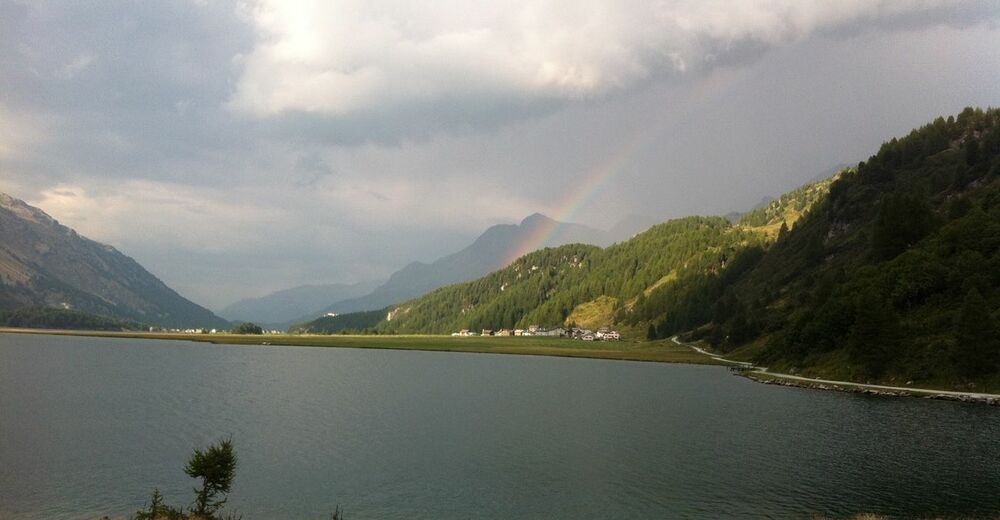
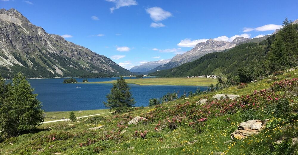
Varied E-mountain bike tour along the unique Lake Sils
- Moeilijkheid
-
medium
- Waardering
-
- Route
-
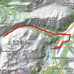
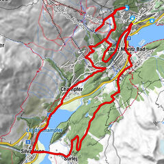
Sils im Engadin (1.803 m)Christ-König-Kirche0,1 kmCrastas Dadour0,2 kmCrastas0,2 kmCrastas Dadains0,3 kmBraschunaing0,9 kmChesa Pool2,0 kmPlatta2,1 kmPetpreir4,0 kmPlan Cuncheta7,4 kmCresta8,2 kmKirche St. Peter und Paul8,9 kmSchweizerhaus9,0 kmMaloja Posta9,1 kmMaloja (1.809 m)10,4 kmLa Motta11,1 kmPlan Cuncheta12,0 kmIsola (See) (1.810 m)13,8 kmIsola (1.811 m)14,4 kmReformierte Kirche17,7 kmSils im Engadin (1.803 m)17,9 km
- Beste seizoen
-
janfebmrtaprmeijunjulaugsepoktnovdec
- Maximale hoogte
- 2.002 m
- Bestemming
-
Sils Maria
- Hoogteprofiel
-
 © outdooractive.com


- Auteur
-
De rondleiding Sils - Maloja - Isola - Sils (E-Mountainbike) wordt gebruikt door outdooractive.com op.
GPS Downloads


Algemene info
Verfrissingsstop
Cultureel/Historisch
Flora
Veelbelovend
Meer rondleidingen in de regio's
-
Veltlin / Valtellina
54
-
Engadin St. Moritz
62
-
Isola
20